

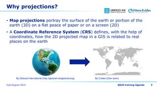
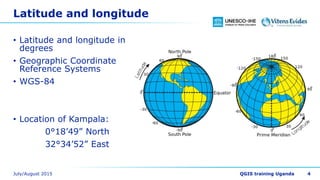
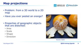
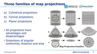
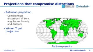
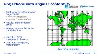
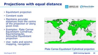
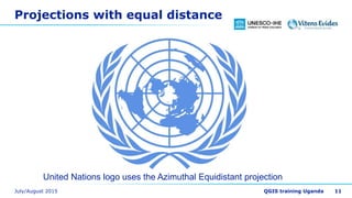
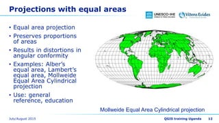
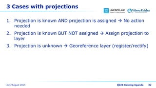

This document discusses map projections and their use in GIS. It begins by explaining that map projections are needed to portray the spherical Earth on a flat surface, and that coordinate reference systems define the relationship between projected maps and real-world locations. It then discusses different types of map projections, including their advantages and disadvantages. Specifically, it covers conformal, equal-distance, and equal-area projections. It also discusses terminology like datum, spheroid, and false northing/easting values. Finally, it provides guidance on choosing a suitable projection and properly assigning projections in GIS projects.


![CTR_ppresentation[1RRRRRRRRRRRRRRRRR].pptx](https://cdn.slidesharecdn.com/ss_thumbnails/ctrppresentation1-250330155714-ac87e8bd-thumbnail.jpg?width=640&height=640&fit=bounds)


