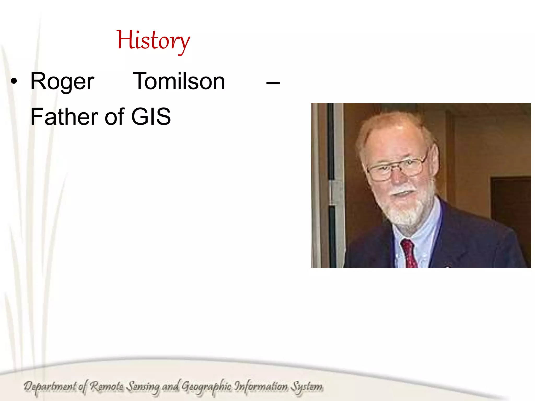
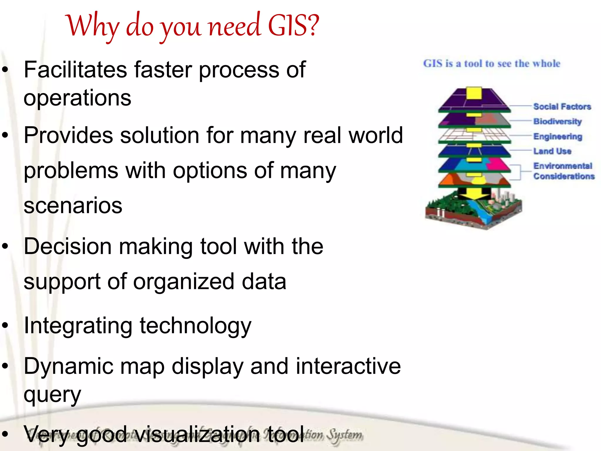
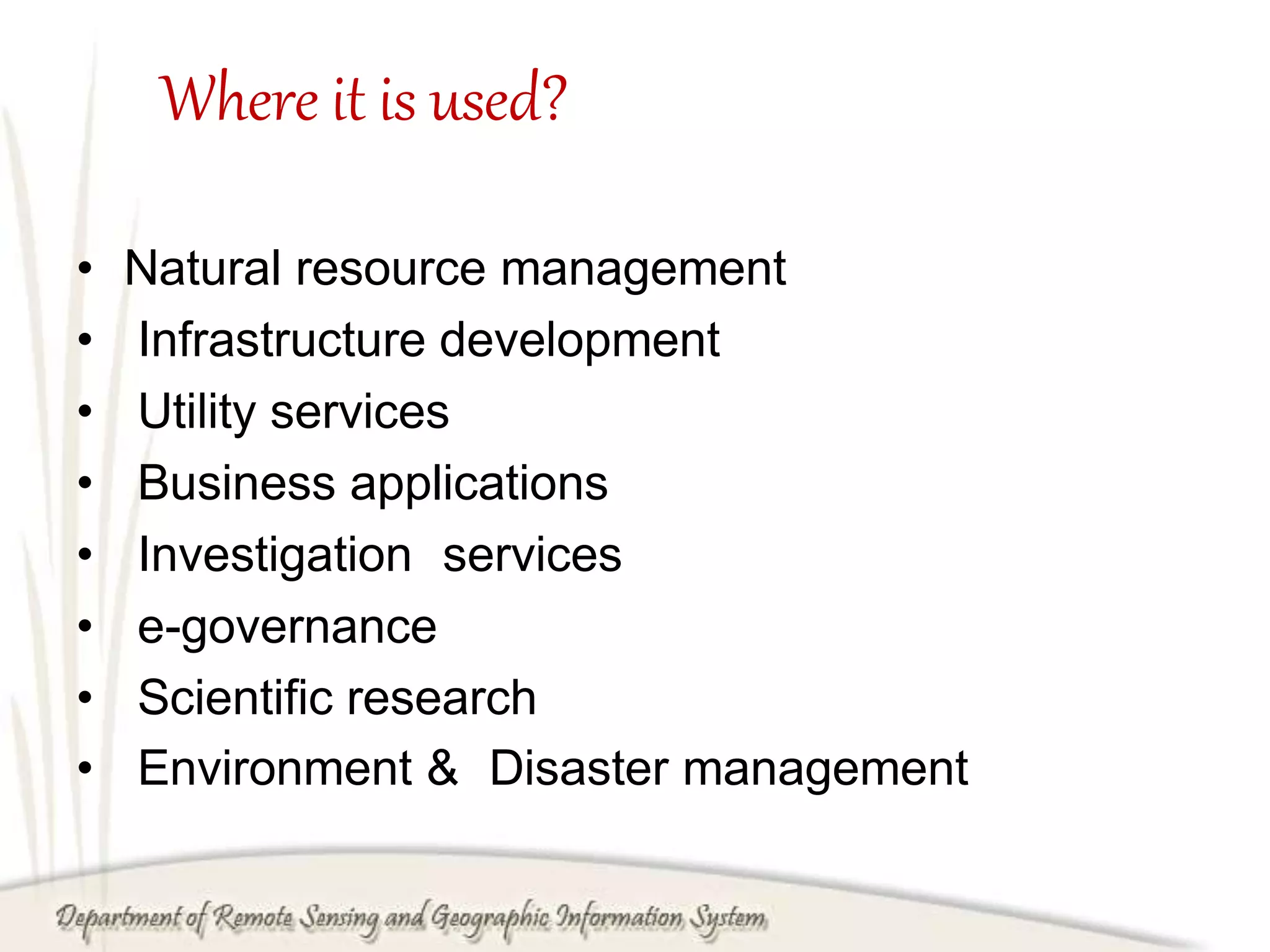
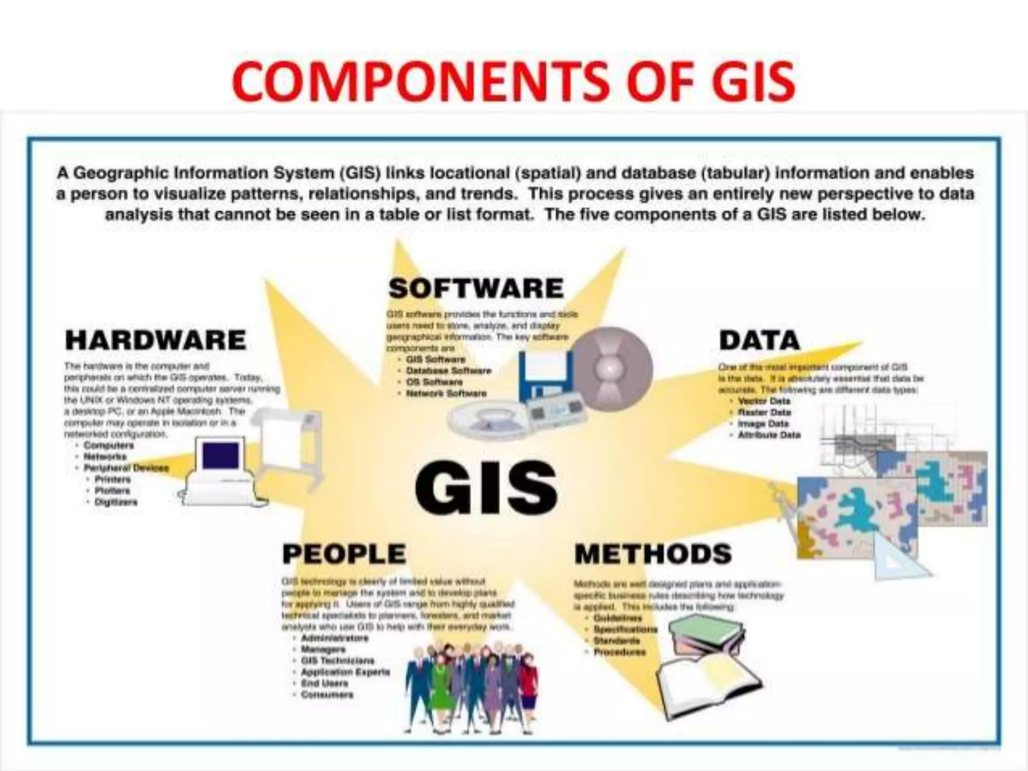
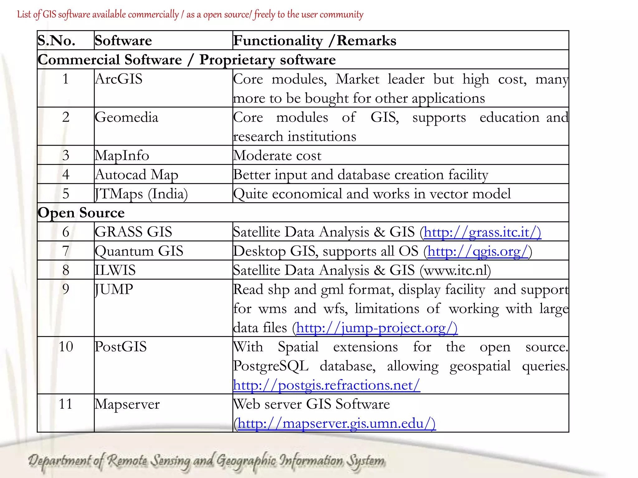
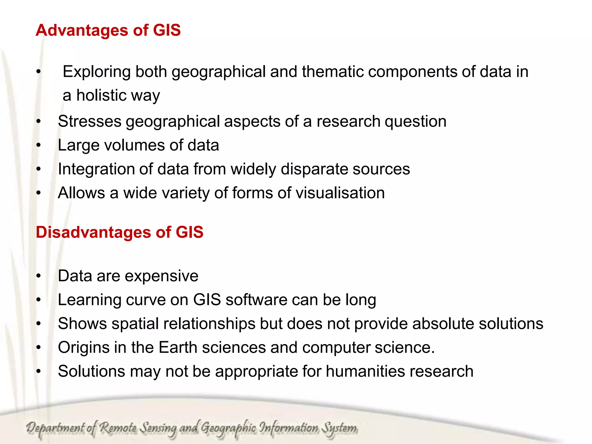
This document provides an overview of geographic information systems (GIS). It defines GIS and lists its main components and functions for supporting decision making about land use, natural resources, and other planning areas. The document outlines the history of GIS, why it is needed, technologies that support it like remote sensing and cartography, and common applications in areas like natural resource management and emergency response. It also discusses GIS software, data, users, methods, benefits, and functions like data capture, compilation, and storage. Finally, it provides lists of common commercial and open source GIS software options as well as advantages, disadvantages, and potential of GIS technology.