Download to read offline


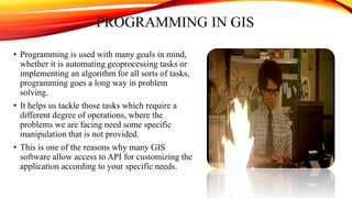
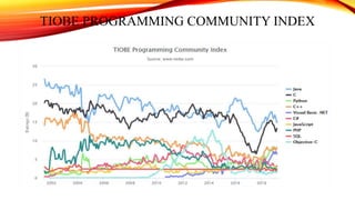
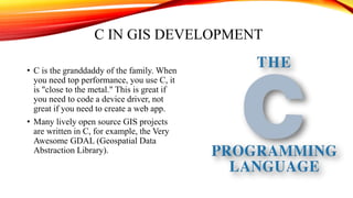
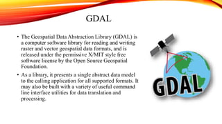
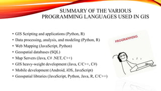


The document discusses various programming languages used in GIS development including C, C++, Python, and Java. It provides examples of how each language is applied, noting that C++ is used for most GIS software due to performance reasons, Python is popular for scripting and automation, Java is used for web map servers and Android apps, and C is used in open source projects like GDAL. It also summarizes that GIS programming involves skills in SQL, JavaScript, Python, R, C/C++, and Java depending on the specific role and task.


![Getting Started with Apache Spark: Big Data Made Simple [Free Meetup]](https://cdn.slidesharecdn.com/ss_thumbnails/apachesparkgettingstarted-260203175547-8361bcc3-thumbnail.jpg?width=640&height=640&fit=bounds)