Download as ODP, PPTX

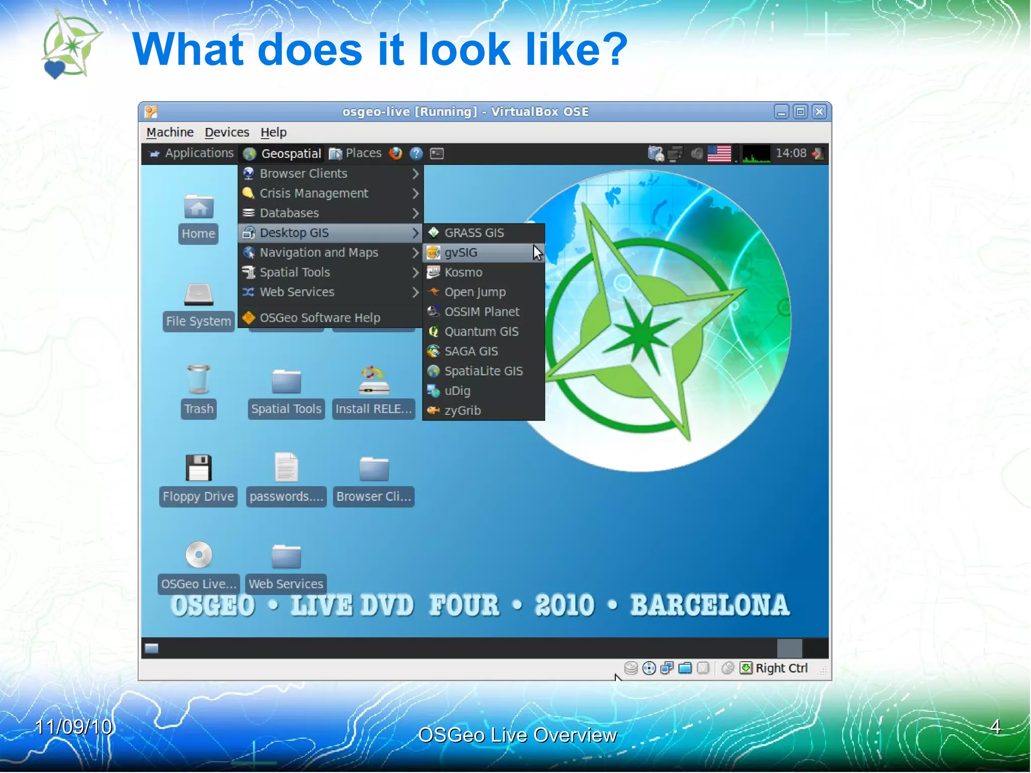
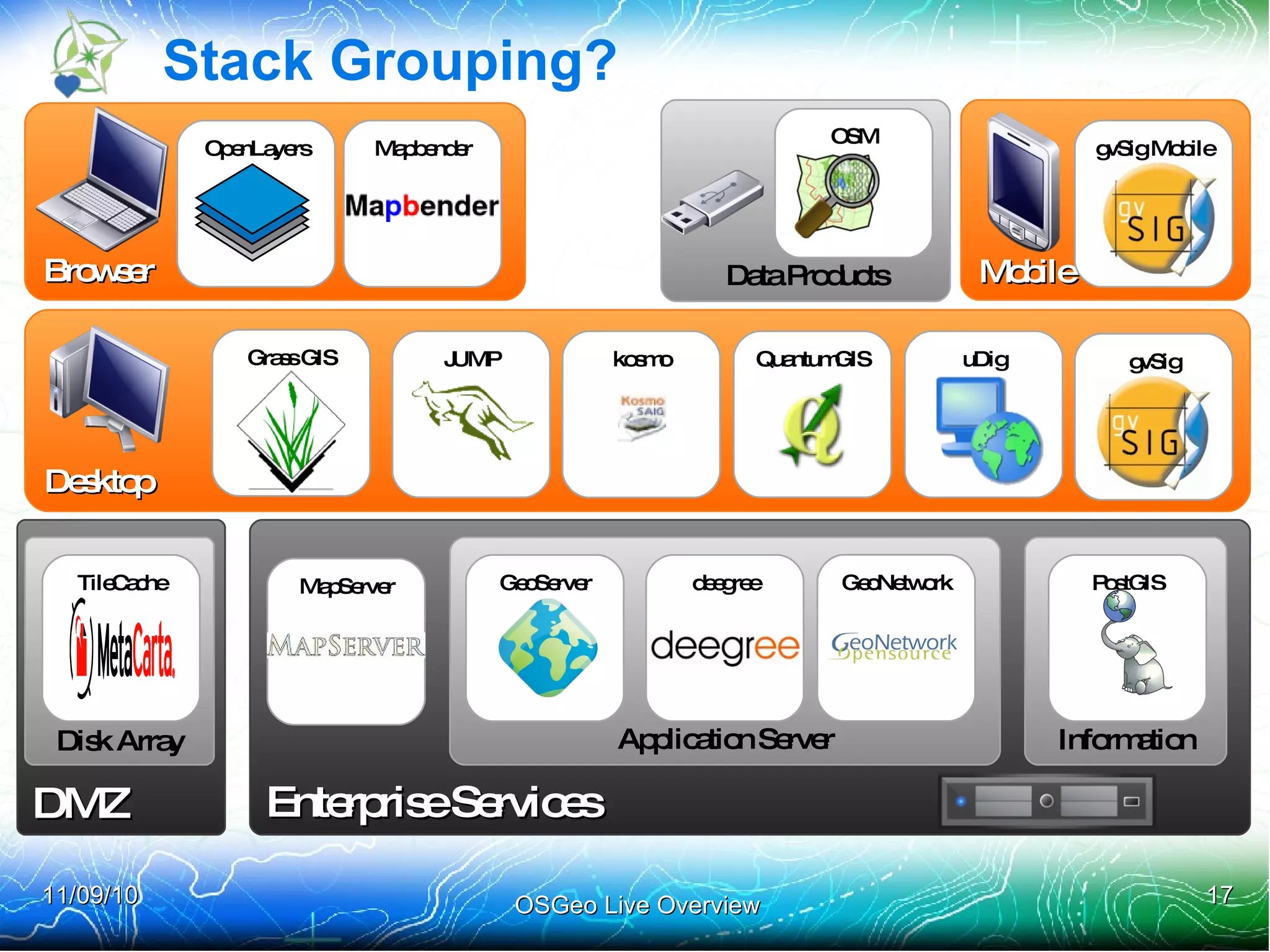
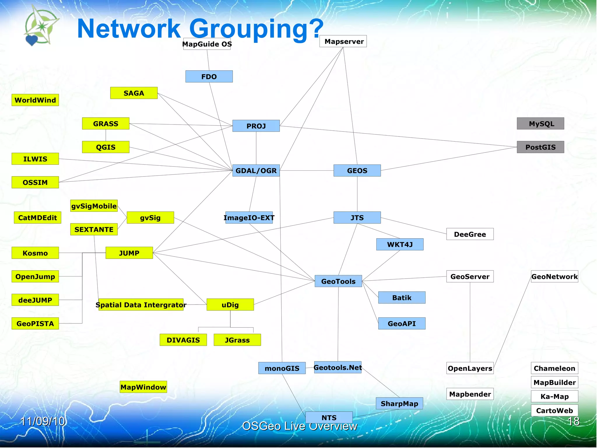
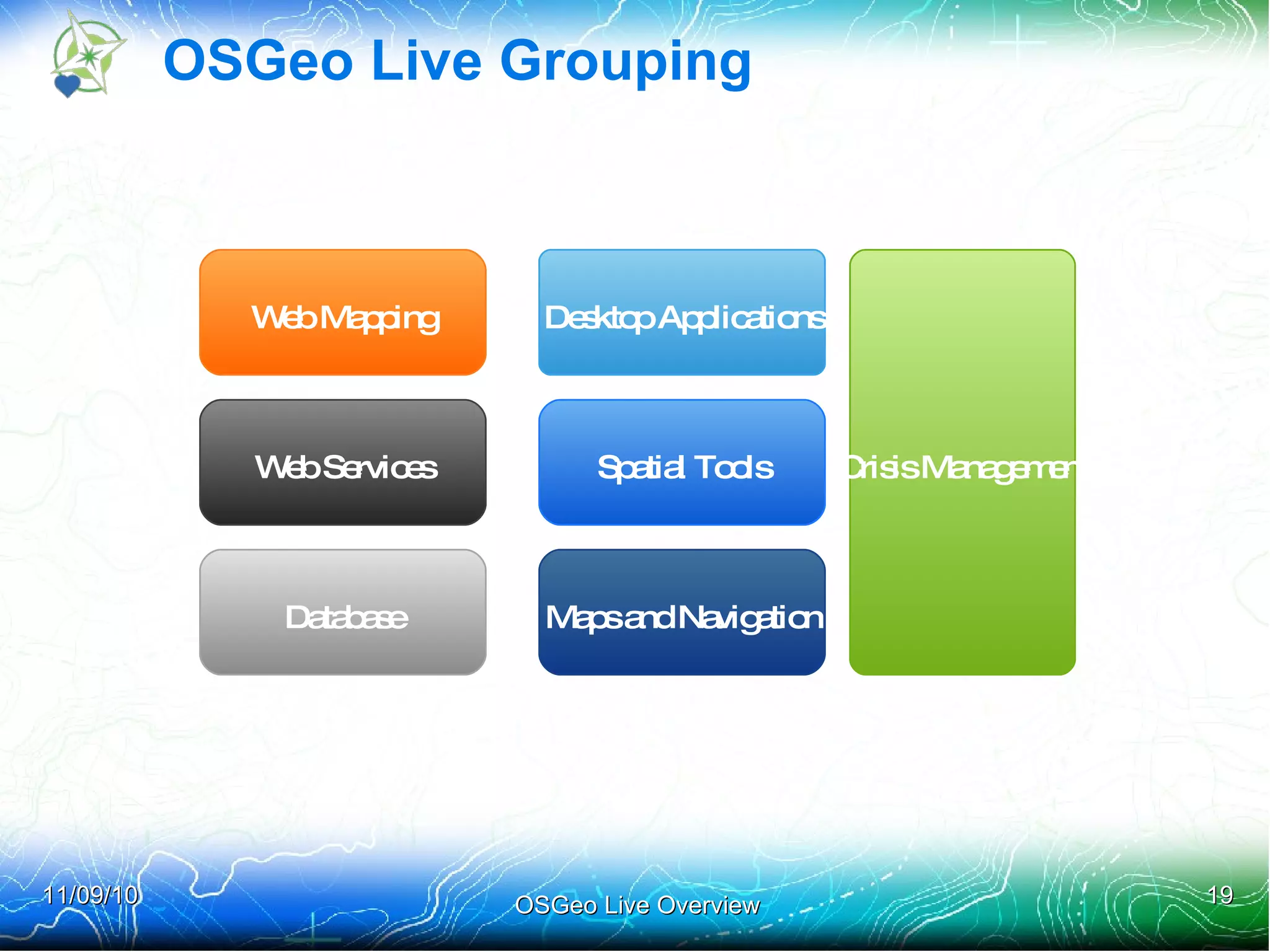
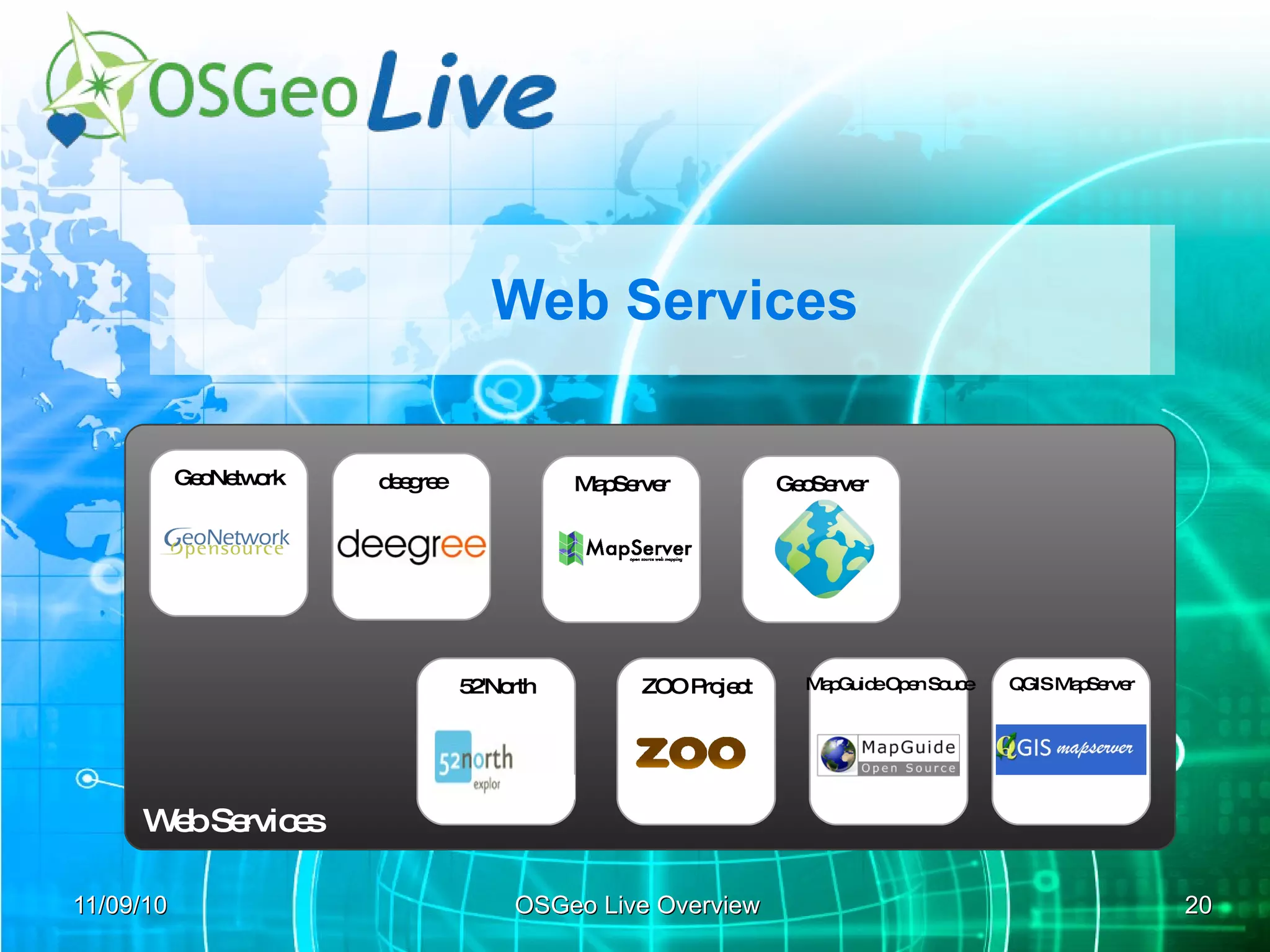
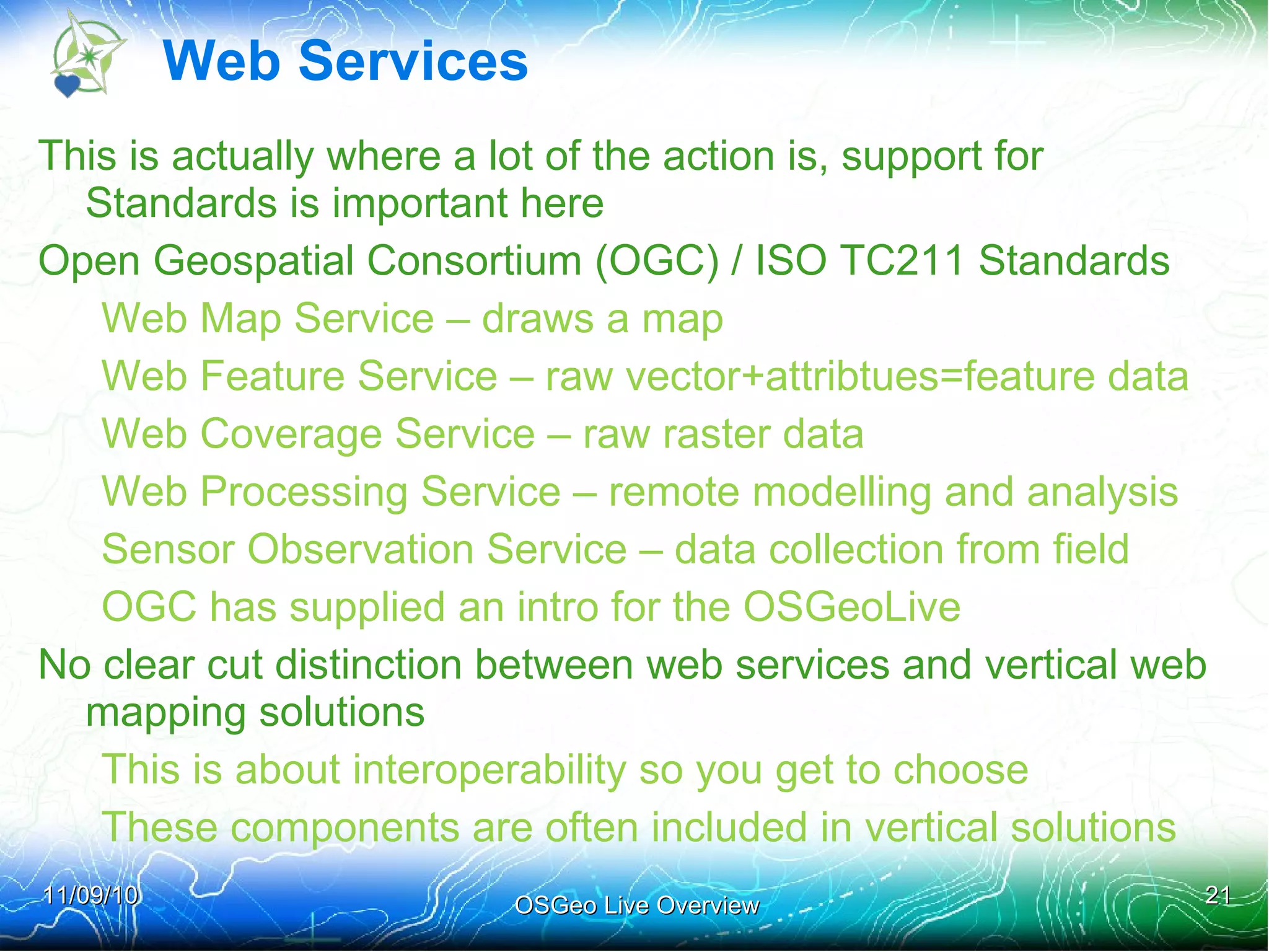
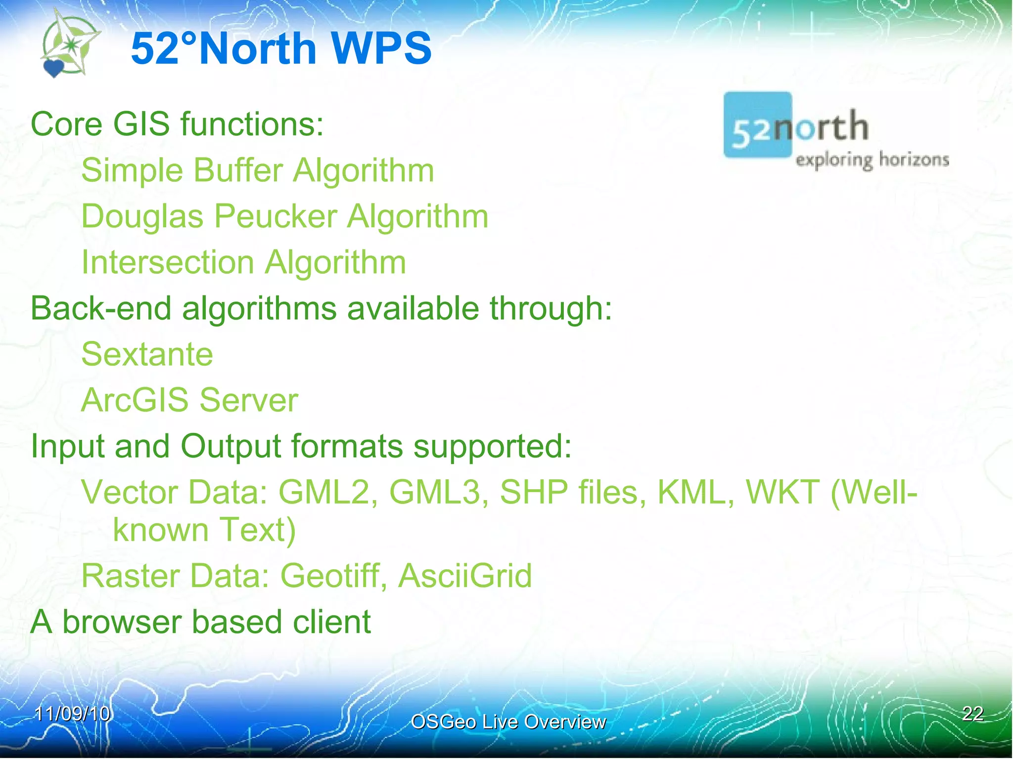
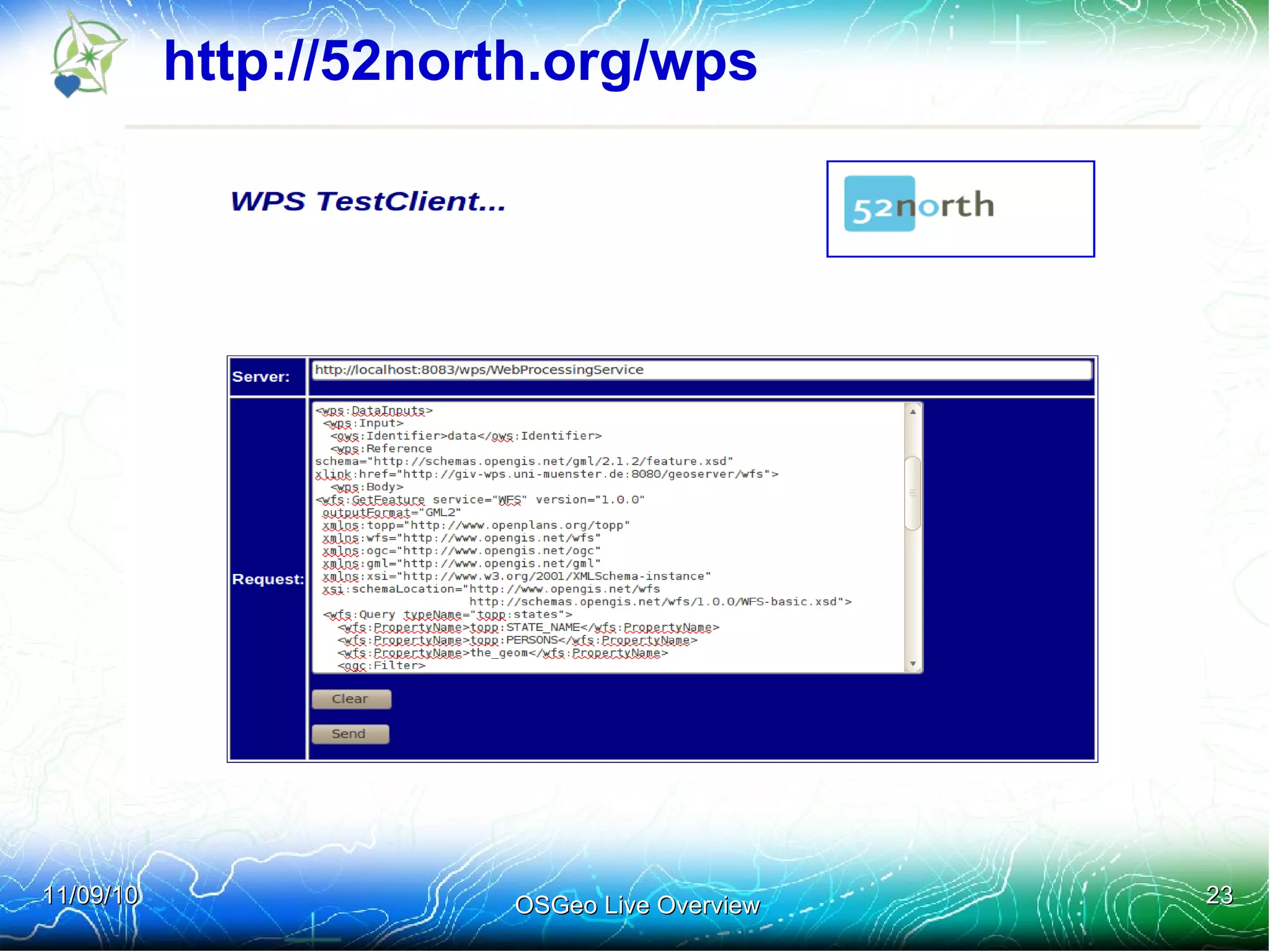

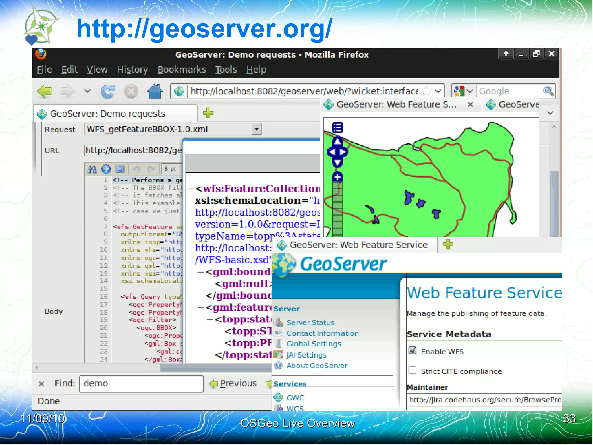
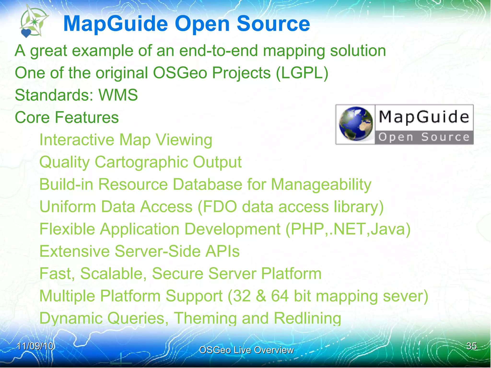
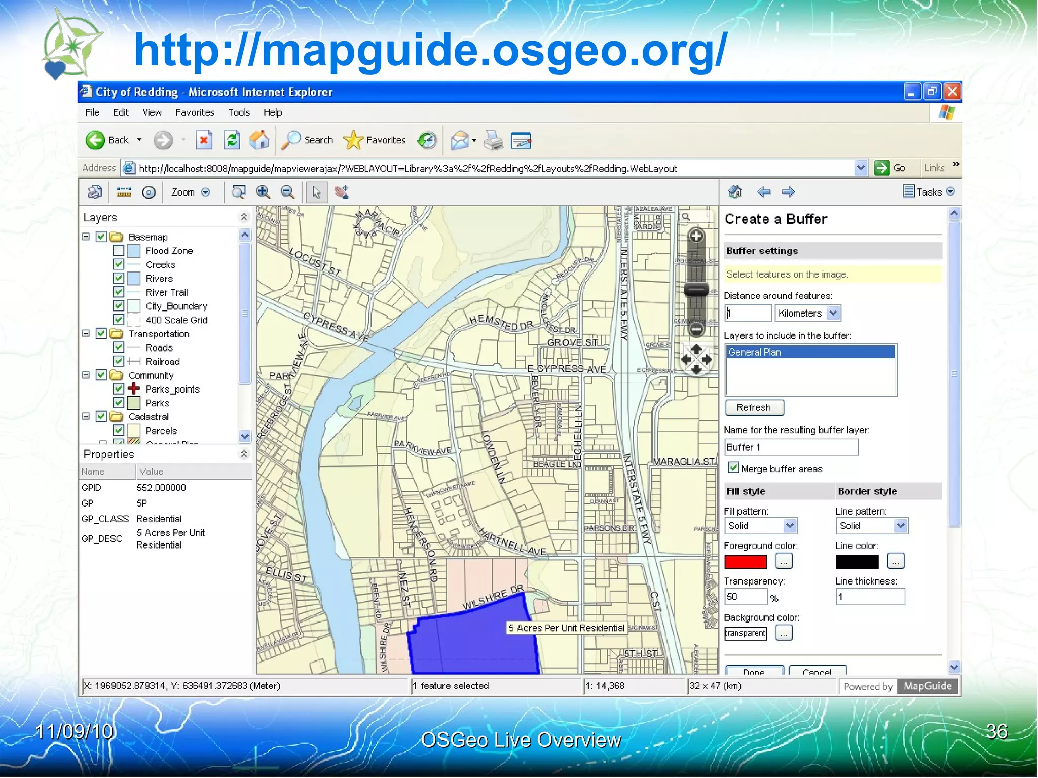


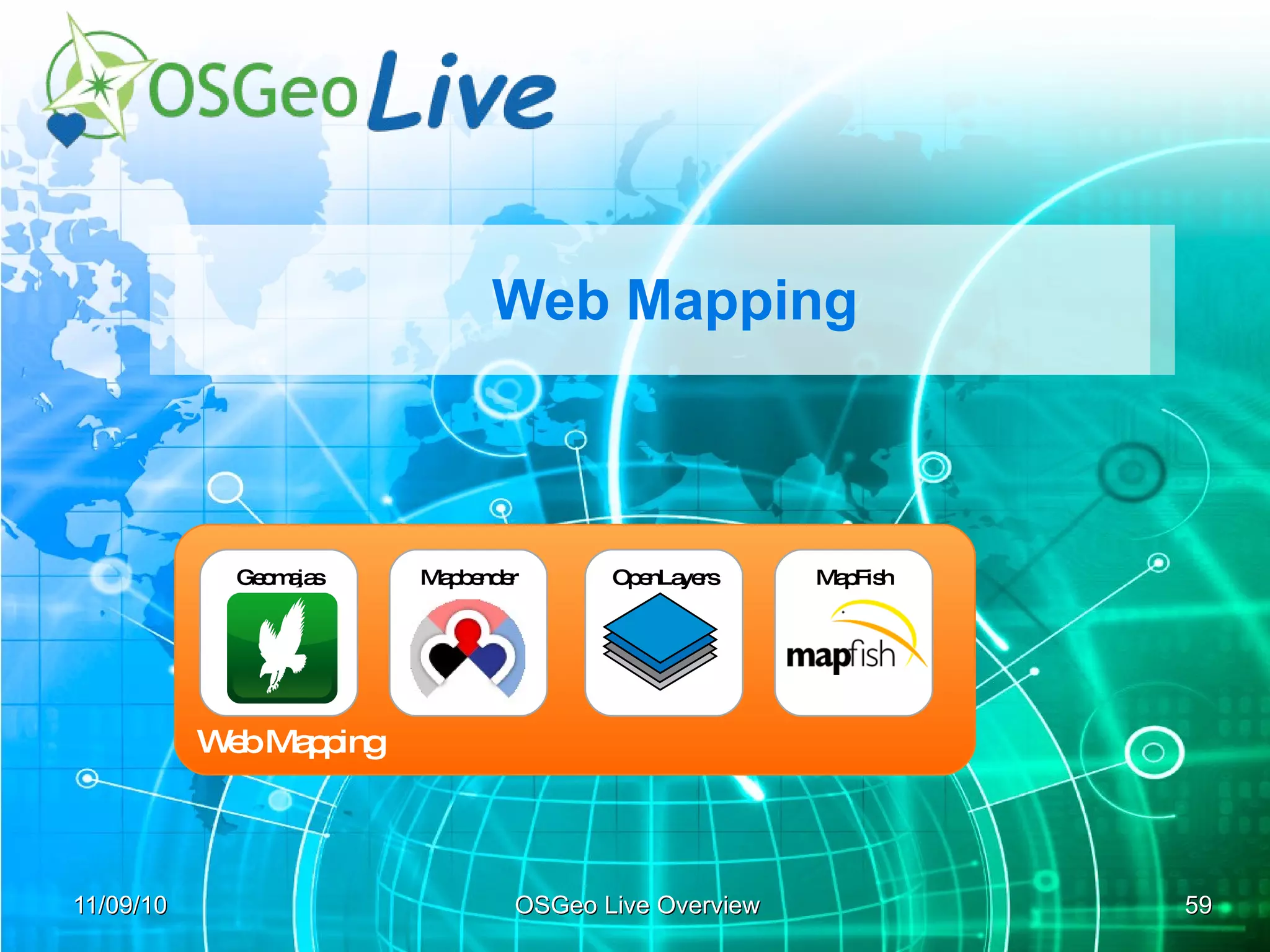


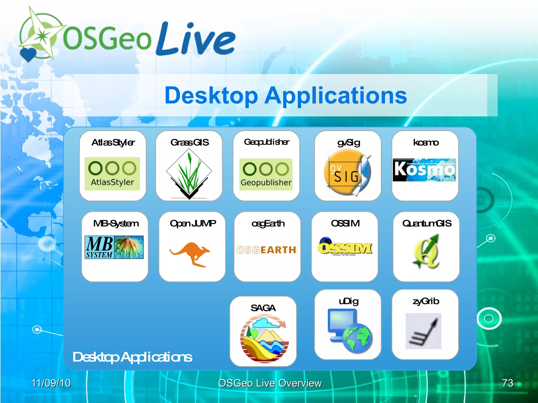


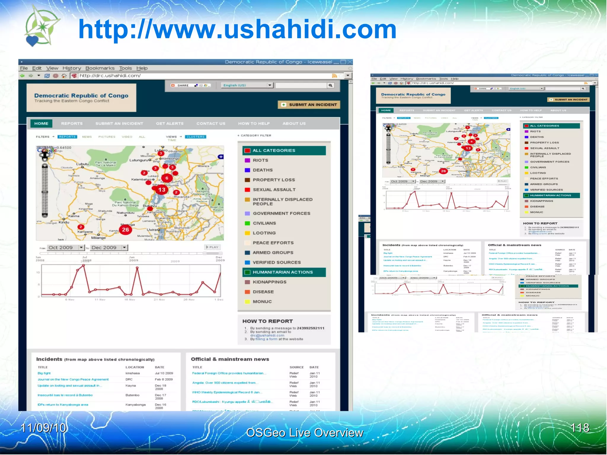
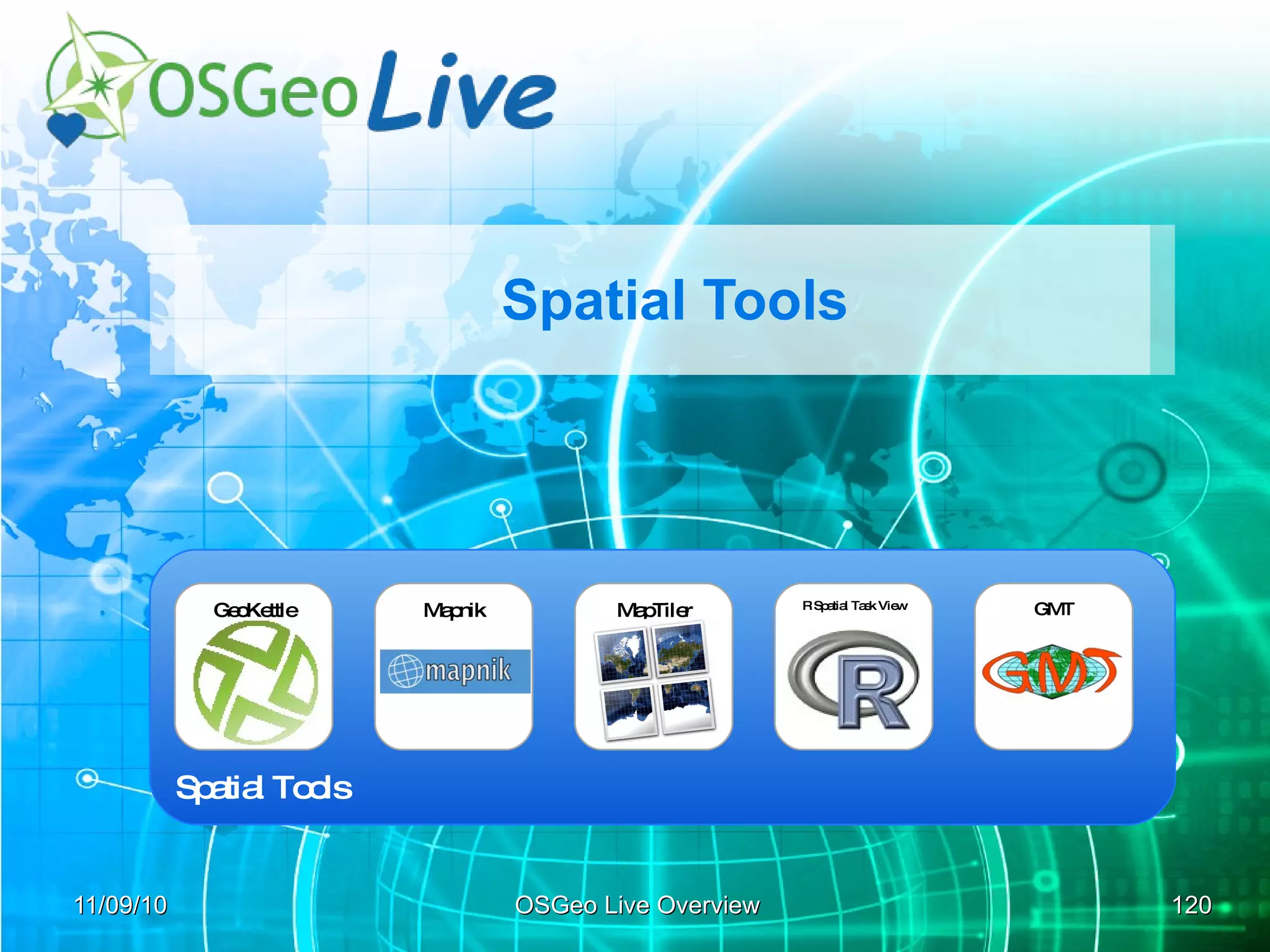


The document provides an overview of the OSGeo Live project, which features 43 open-source geospatial software projects presented in a 'lightning' format at the FOSS4G conference. It discusses the history of the project, its evolution through various versions since its inception, and the collaboration among developers and sponsors to promote geospatial tools and applications. Additionally, it highlights the importance of standards in web mapping services and the support for various geospatial functionalities offered by the projects included in OSGeo Live.