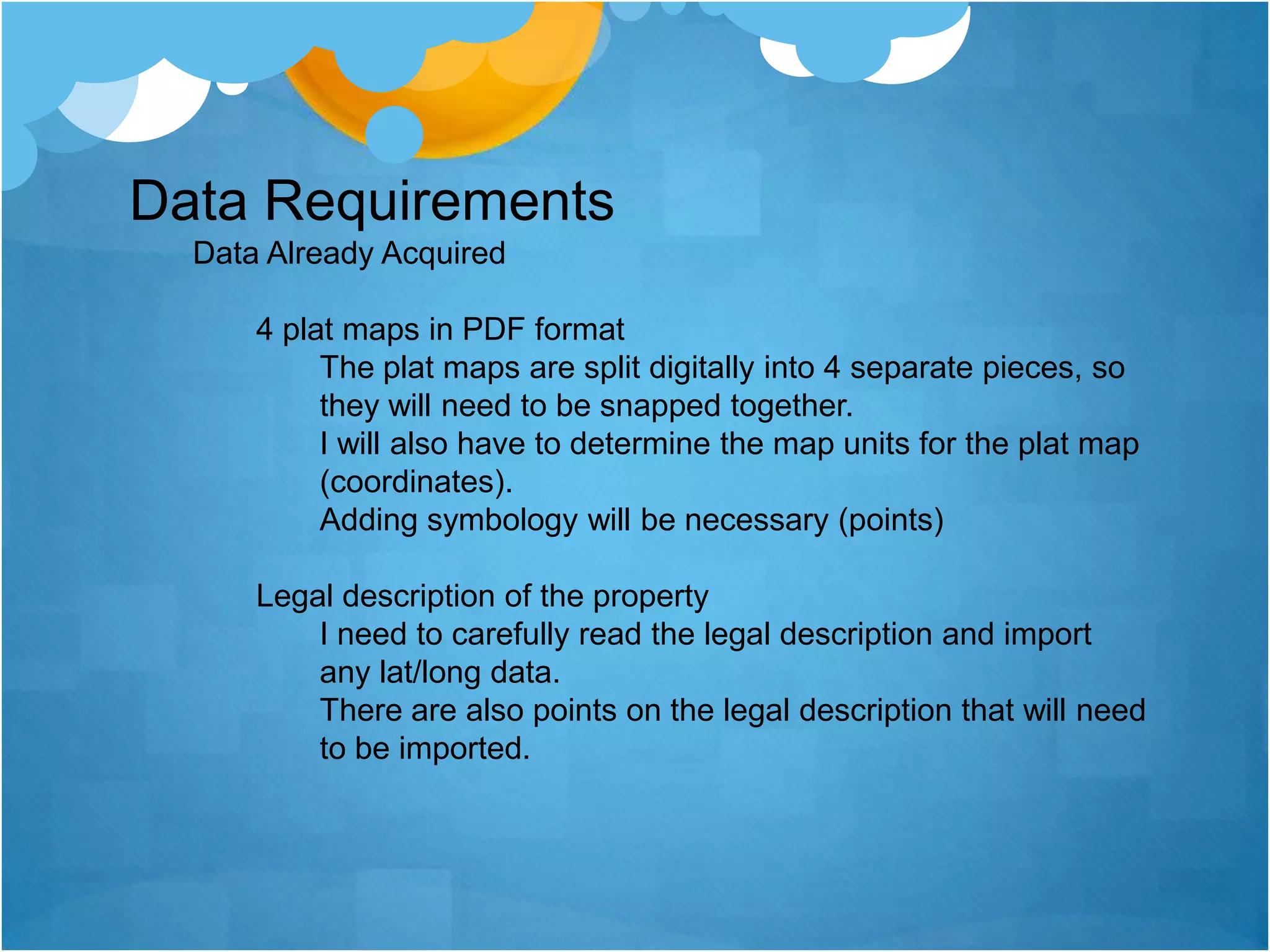
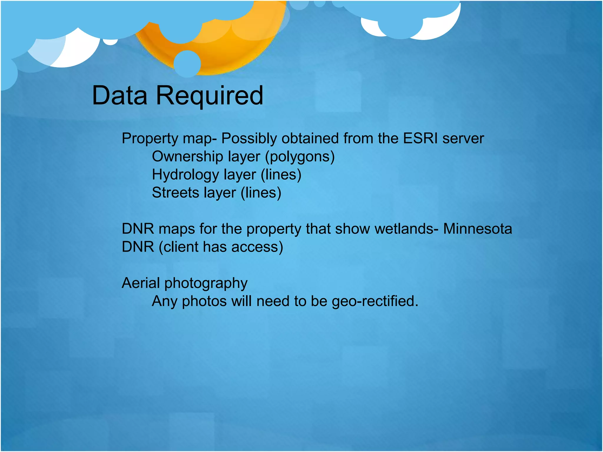
The client has requested a map showing the legal boundaries of their property in Lino Lakes, Minnesota. This will involve snapping together existing plat maps, interpreting the legal description, and conducting field work to GPS coordinate the property lines and attributes. Additional data layers will need to be incorporated to determine if any portions of the land contain a private bridge, wetlands, or a water channel. The final map is intended solely for the client's personal use.