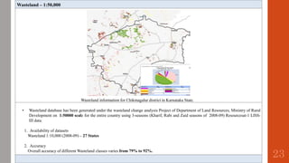
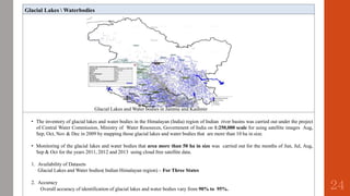
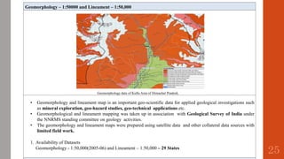
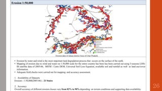
Downloaded 60 times
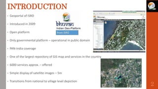

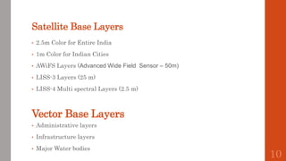
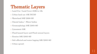


This document provides an overview of Bhuvan, the geoportal of ISRO. It introduces Bhuvan as an open platform offering over 6000 geospatial services including high resolution satellite imagery from 1-5m, thematic layers, and data downloads. The document describes some of the satellite imagery layers and thematic layers available through Bhuvan, including land use/land cover maps, wasteland maps, and layers on glacial lakes and water bodies. It also outlines some of Bhuvan's applications such as disaster management and integration with other government portals.