Downloaded 819 times


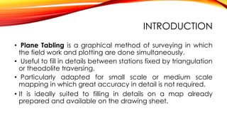
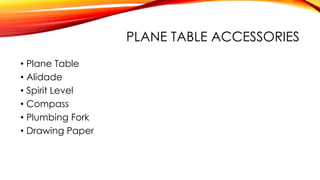
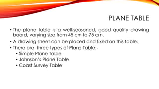


Plane table surveying involves simultaneously conducting fieldwork and plotting details on a drawing board called a plane table. Key accessories include an alidade for sighting, a spirit level and magnetic compass. Common methods are the radiation, intersection and traversing methods which involve measuring distances and angles to map features. Care is needed to accurately orient and center the plane table between stations. While suitable for small-scale mapping, plane table surveying is not intended for highly accurate work.


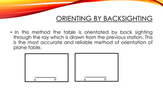
![Module-III SURVEYING-I [BTCVC304]](https://cdn.slidesharecdn.com/ss_thumbnails/module-iii-191020180049-thumbnail.jpg?width=640&height=640&fit=bounds)


