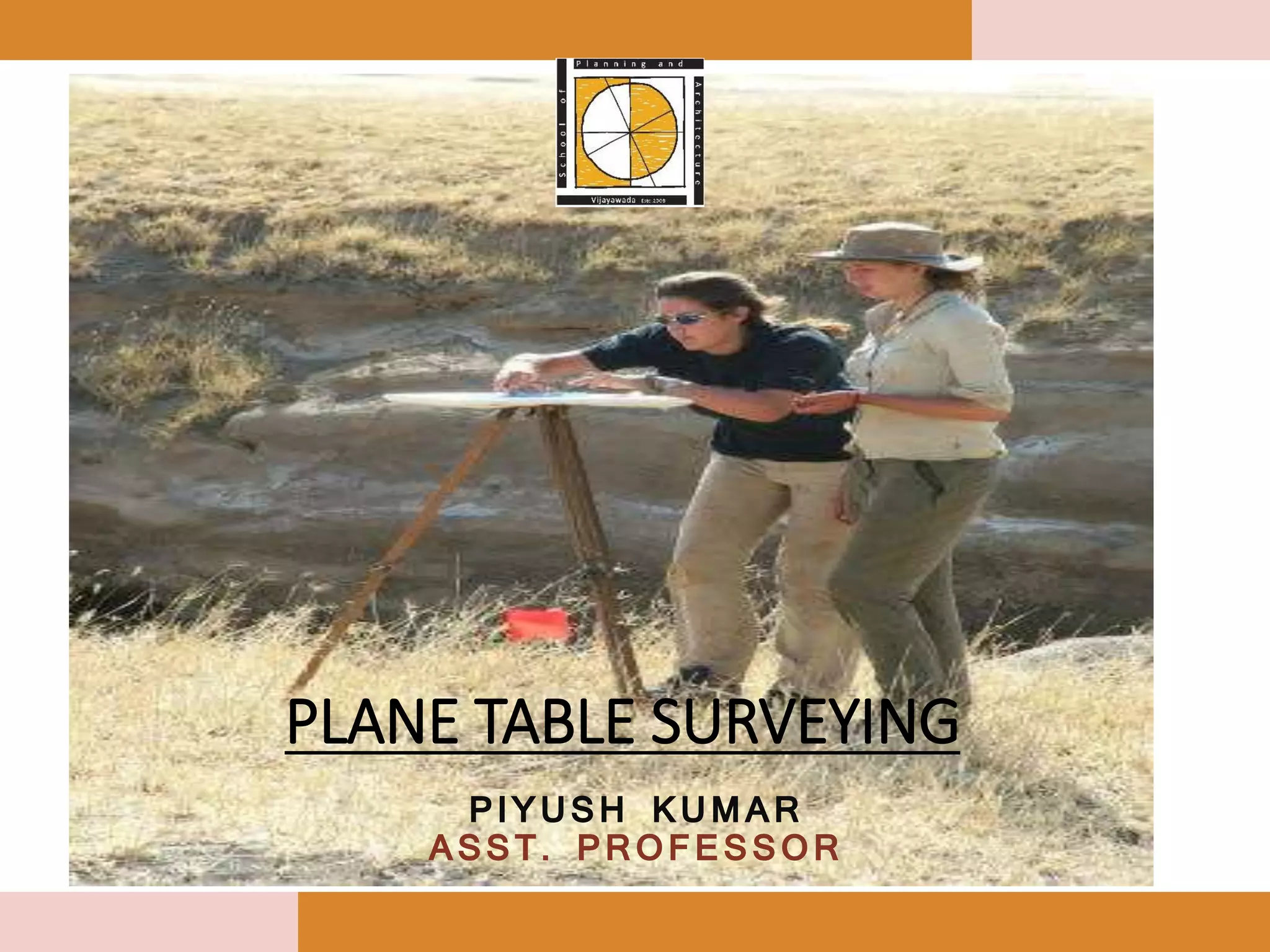
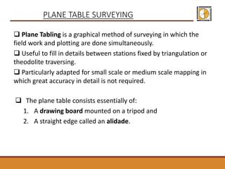
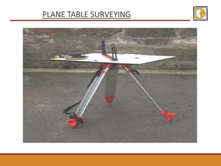
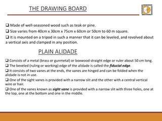
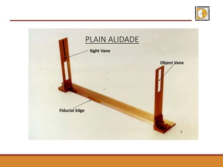
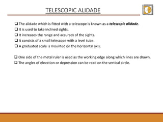
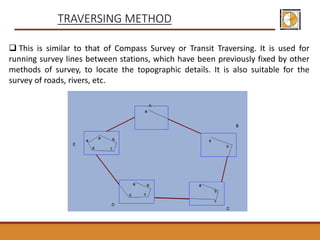
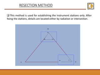
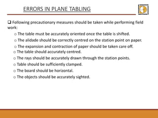
Plane table surveying is a graphical method that allows simultaneous fieldwork and plotting, particularly suited for small to medium scale mapping. It employs a drawing board mounted on a tripod and an alidade for accurate measurements, with various methods like radiation and intersection for locating details. While it offers several advantages such as speed and reduced costs, it also has drawbacks including impracticality in wet conditions and the challenges of carrying multiple accessories.


![Module-I SURVEYING-I [BTCVC304]](https://cdn.slidesharecdn.com/ss_thumbnails/module-i-191020180028-thumbnail.jpg?width=640&height=640&fit=bounds)


