Downloaded 925 times

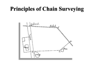


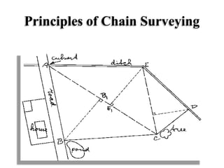
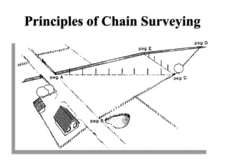


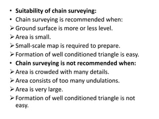


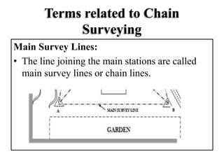

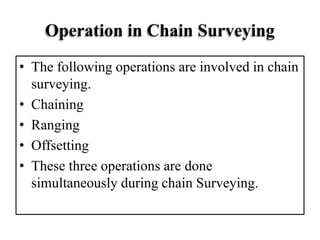


Chain surveying is a fundamental method of surveying that involves measuring linear distances on the field, primarily used for small areas to determine boundaries and locate features. The technique relies on triangulation, dividing the area into triangles for accurate measurement, and involves specific operations such as chaining, ranging, and offsetting. Conditions for its suitability include level ground and small-scale maps, while it is less effective in crowded or undulating areas.


![Module-I SURVEYING-I [BTCVC304]](https://cdn.slidesharecdn.com/ss_thumbnails/module-i-191020180028-thumbnail.jpg?width=640&height=640&fit=bounds)


