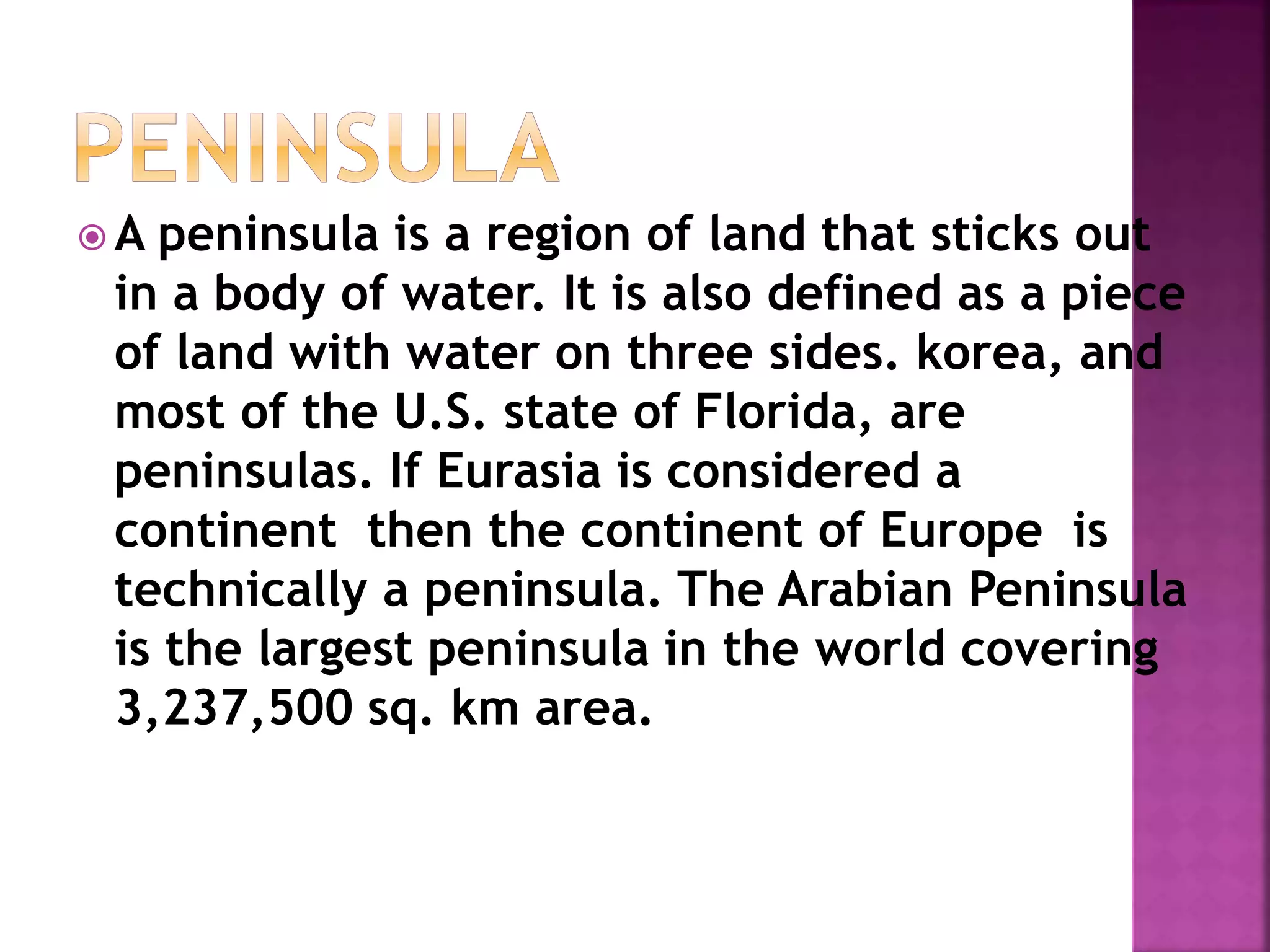
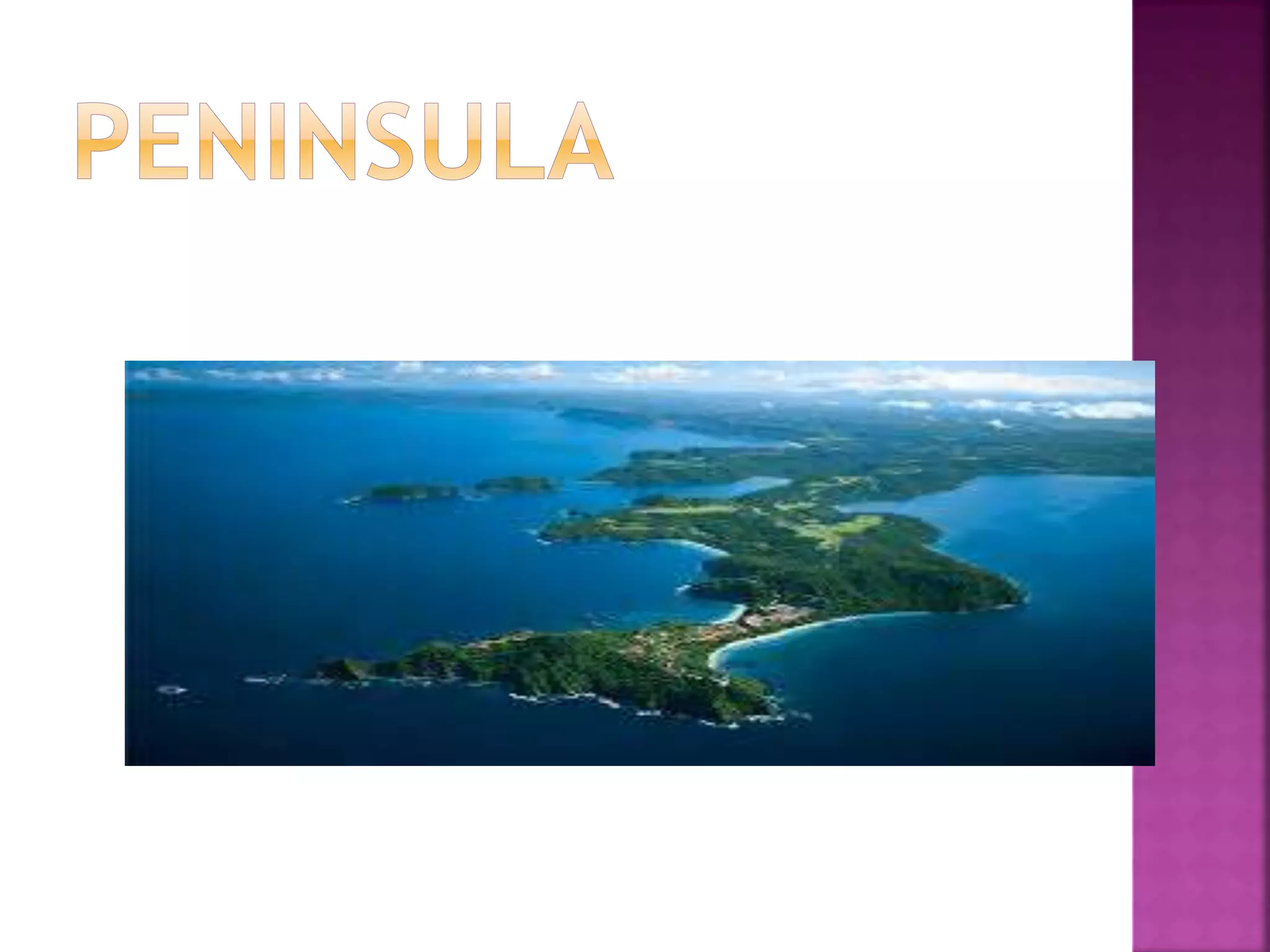
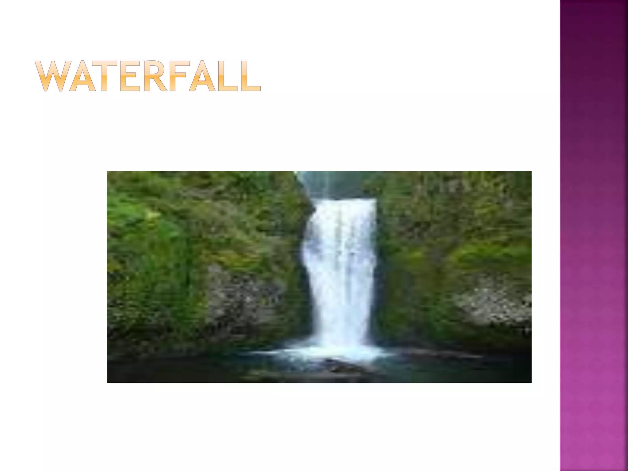
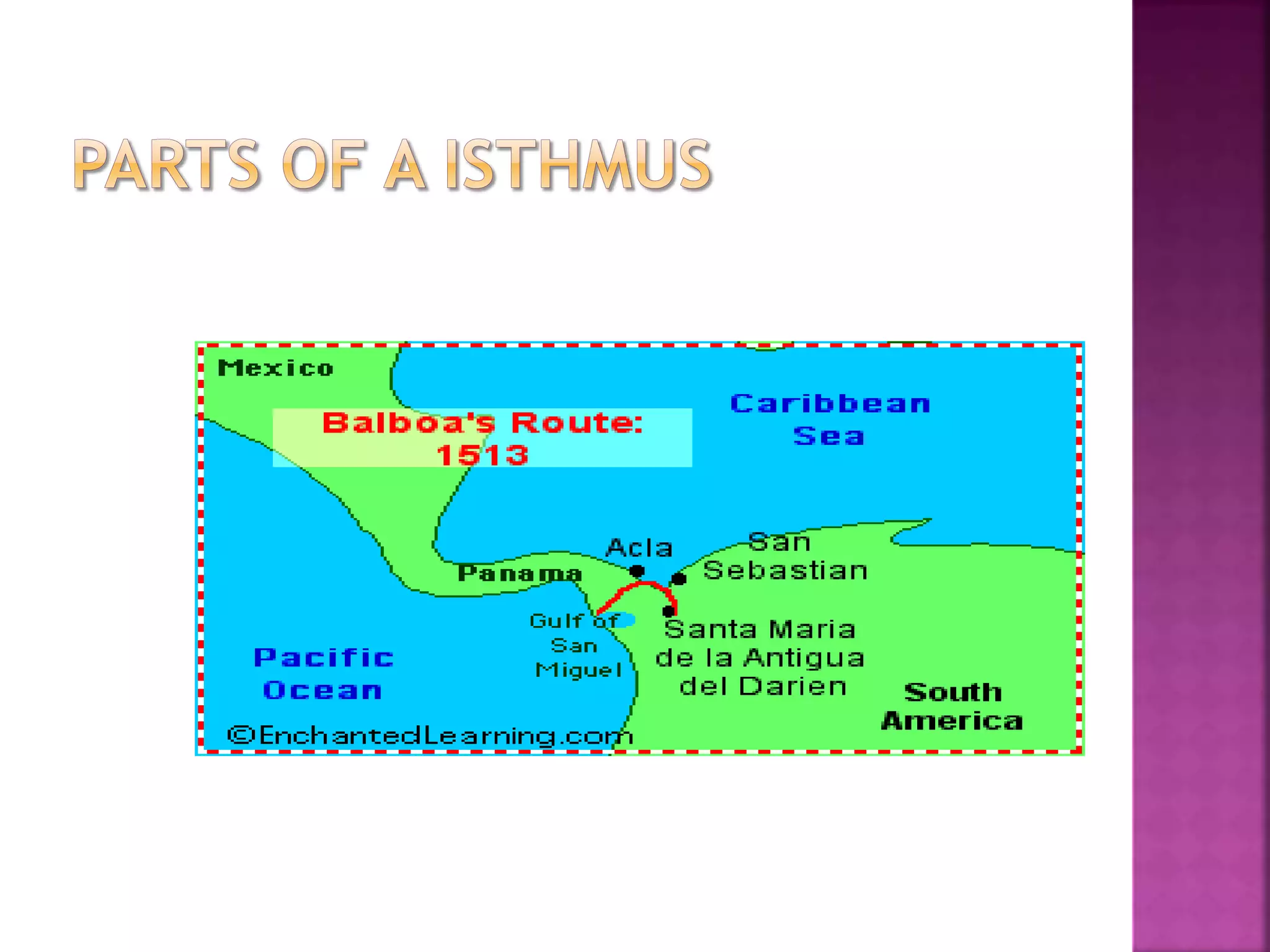
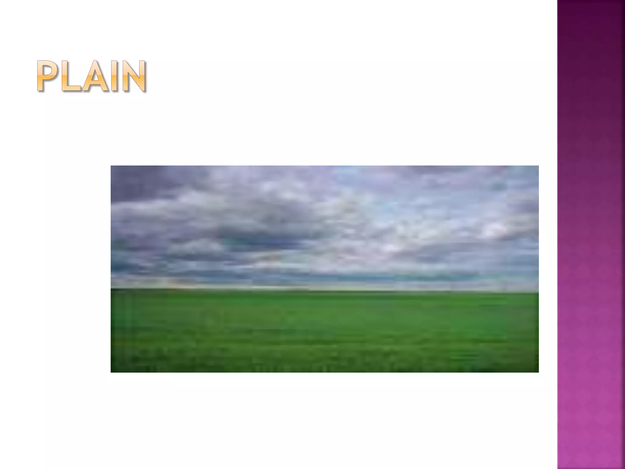
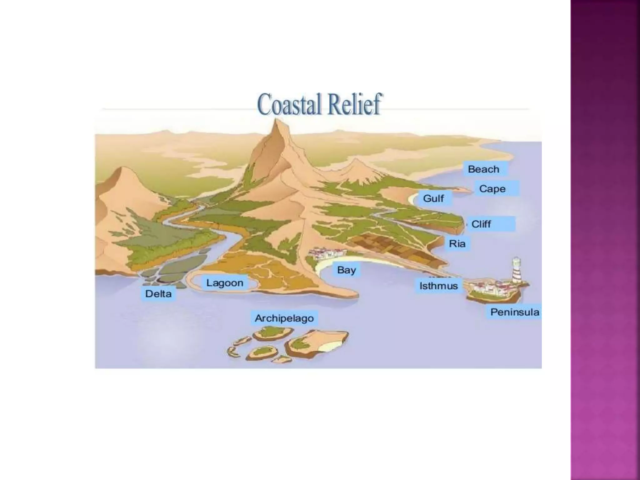
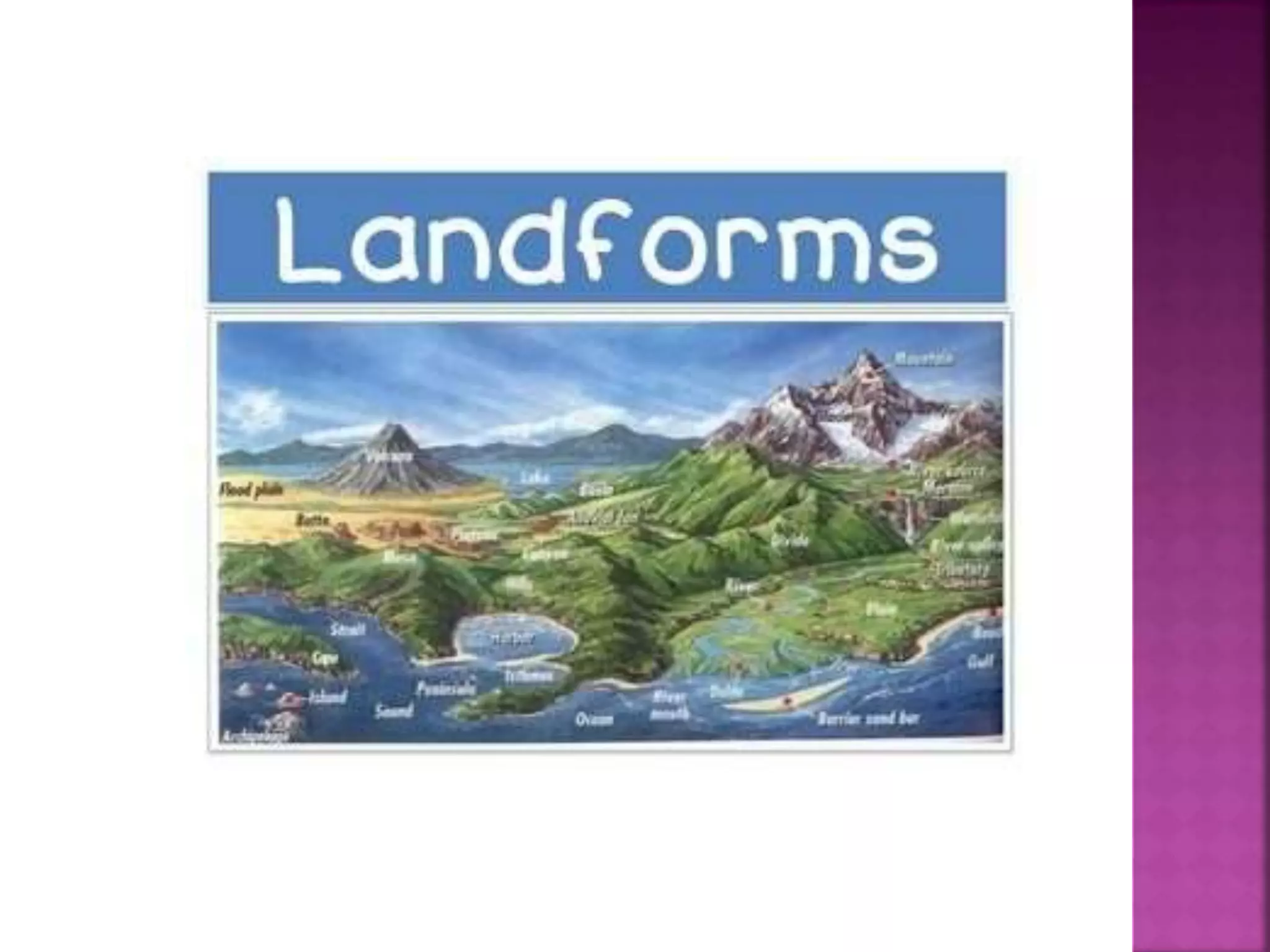
The document discusses several key landforms and geographic features. It defines islands as areas of land not connected to a continent and surrounded by water, noting there are two main types - continental and oceanic islands. It also discusses peninsulas as areas of land surrounded by water on three sides, and mentions examples like Florida and the Arabian Peninsula. Additionally, it provides definitions and descriptions of bays, waterfalls, volcanoes, isthmuses, mountains, plateaus, and plains - outlining their key characteristics and formation.


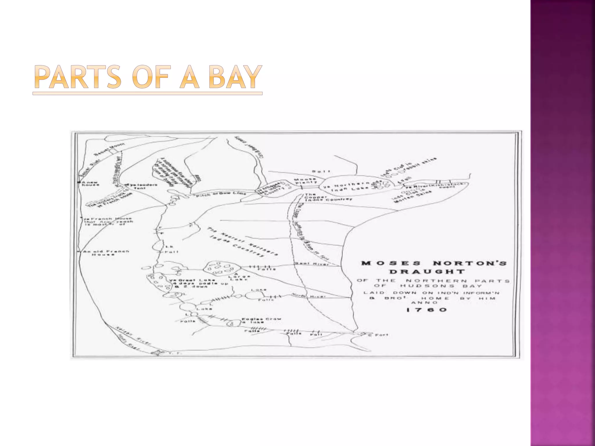
![J.A bay is a body of water connected to an ocean
or lake, formed by an indentation of the
shoreline.[1] A large bay may be called a gulf, a
sea, a sound, or a bight. A cove is a smaller circular
or oval coastal inlet with a narrow entrance; some
coves may be referred to as bays. A fjord is a
particularly steep bay shaped by glacial activity.
Bays can exist as the estuary of a river, as the
estuary of the Parramatta River in Australia. Bays
may be nested in each other; for example, James
Bay is an arm of Hudson Bay. Some large bays, such
as the Bay of Bengal and the Hudson Bay, have
varied marine geology.](https://image.slidesharecdn.com/science-160204152724/75/LAndforms-8-2048.jpg)


![Geo terms[1]](https://cdn.slidesharecdn.com/ss_thumbnails/geoterms1-100810230038-phpapp01-thumbnail.jpg?width=640&height=640&fit=bounds)


![Presentation[1].pptxrttuytyyutyutyuttyyuyyyy](https://cdn.slidesharecdn.com/ss_thumbnails/presentation1-240710071034-815815bf-thumbnail.jpg?width=640&height=640&fit=bounds)


