Downloaded 13 times
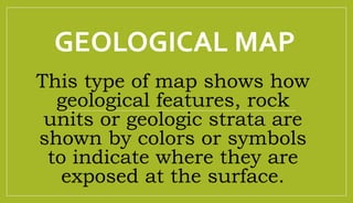

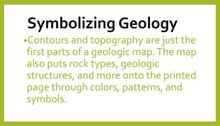
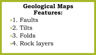

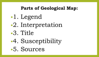
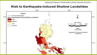
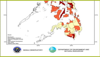
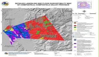
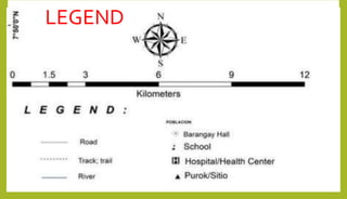
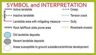
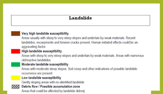
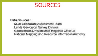
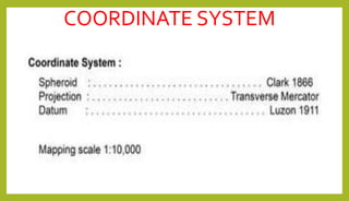
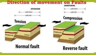
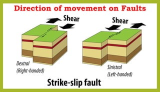
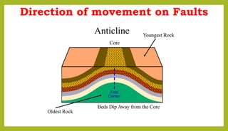
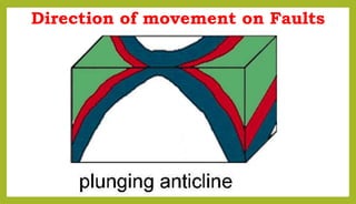
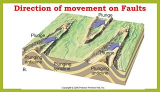

Geological maps show geological features and rock units using colors and symbols. They display contours, topography, faults, folds, rock layers, and more. Symbols include thick and thin lines, capitalized letters for rock units, colors, and dotted contact lines. Key parts of geological maps are the legend, title, interpretation, susceptibility, sources, coordinate system, and indications of fault movement direction.


![GEOLOGICAL HAZARDS [Autosaved].pptx](https://cdn.slidesharecdn.com/ss_thumbnails/geologicalhazardsautosaved-240128120931-9c982cee-thumbnail.jpg?width=640&height=640&fit=bounds)


![cescpptfinal-220424133321 [Autosaved].pptx](https://cdn.slidesharecdn.com/ss_thumbnails/cescpptfinal-220424133321autosaved-240319003407-97b0bf7b-thumbnail.jpg?width=640&height=640&fit=bounds)


