Downloaded 175 times
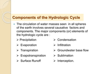
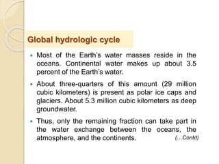
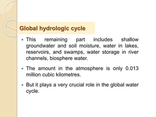


The document provides an overview of the hydrologic cycle. It begins with an introduction explaining that water circulates continuously between different spheres of the Earth. It then discusses the major components of the hydrologic cycle, including precipitation, evaporation, transpiration, runoff, infiltration, and others. Finally, it explains concepts like condensation and how precipitation forms from water vapor in the atmosphere. The overall document serves to describe the world's water circulation and the relationships between different elements of the hydrologic cycle.


