Downloaded 262 times

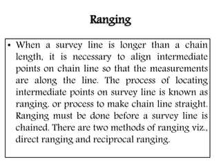
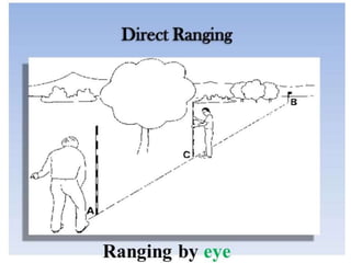
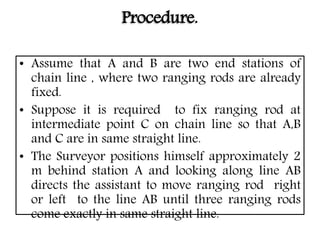
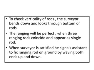
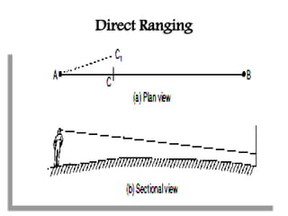
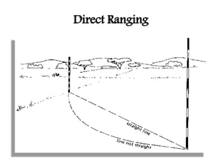
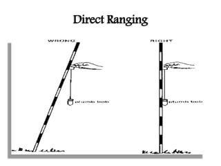
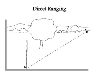
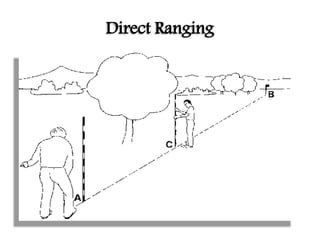
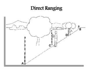
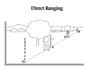
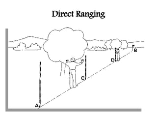
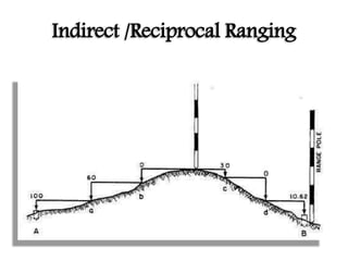
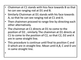
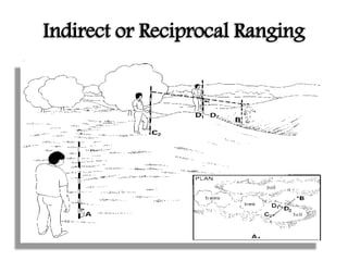
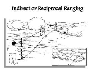
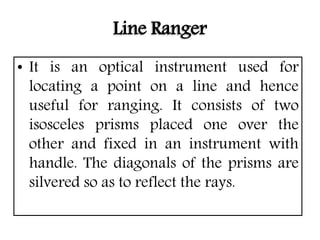
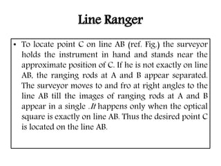
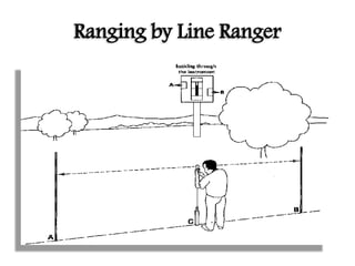
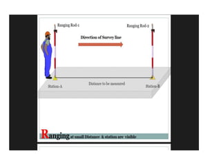
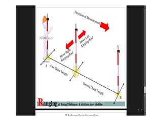
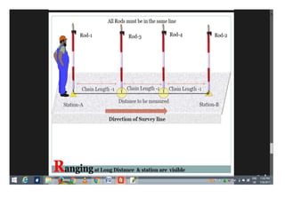
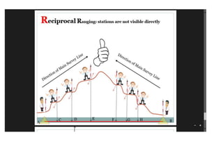

1) Ranging is the process of locating intermediate points along a survey line to ensure measurements are taken along a straight line. It must be done before chaining. 2) There are two methods of ranging: direct ranging uses observations from end stations to position intermediate rods in a straight line. Reciprocal ranging is used when end stations are not visible to each another. 3) A line ranger is an optical instrument that allows one person to position a point along a line by viewing the reflections of ranging rods in its prisms.


