Downloaded 651 times


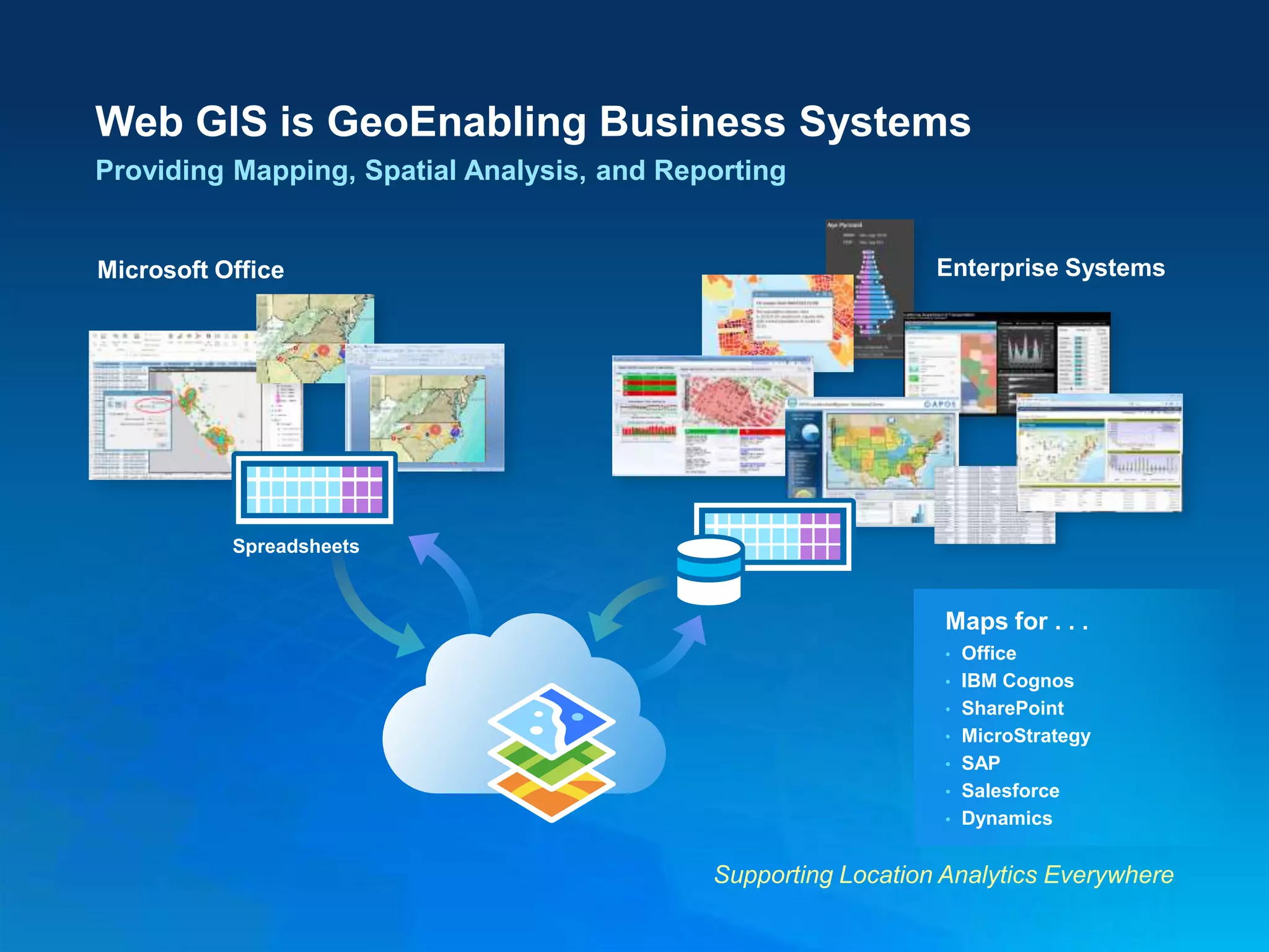


The document discusses the evolution and impact of web GIS in cartography and geospatial technologies, highlighting its ability to integrate various data sources and improve mapping accessibility. It emphasizes the significance of GIS in addressing global challenges like climate change, urbanization, and resource management through enhanced visualization and analytics. Furthermore, it underscores the collaborative potential of web GIS in connecting organizations and communities, facilitating better decision-making and resource sharing.