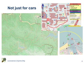
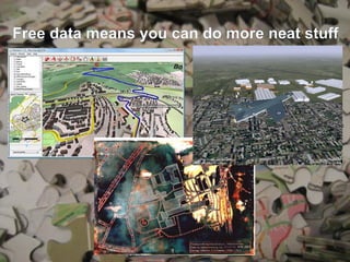
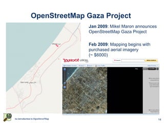
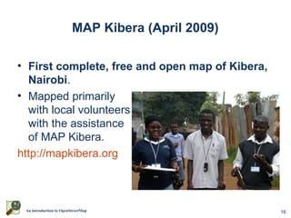
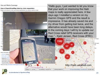
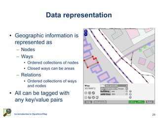
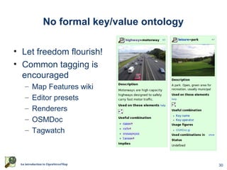
This document introduces OpenStreetMap, a free and editable map of the world. It describes how OSM data is collected and mapped through tracing aerial imagery, field notes, problem reports, and social mapping events. The data is represented as nodes, ways, and relations tagged with key-value pairs. OSM has been used for humanitarian mapping projects in Gaza and Haiti following natural disasters. It aims to provide more up-to-date maps than proprietary alternatives through its global network of volunteer mappers.