Download as PDF, PPTX
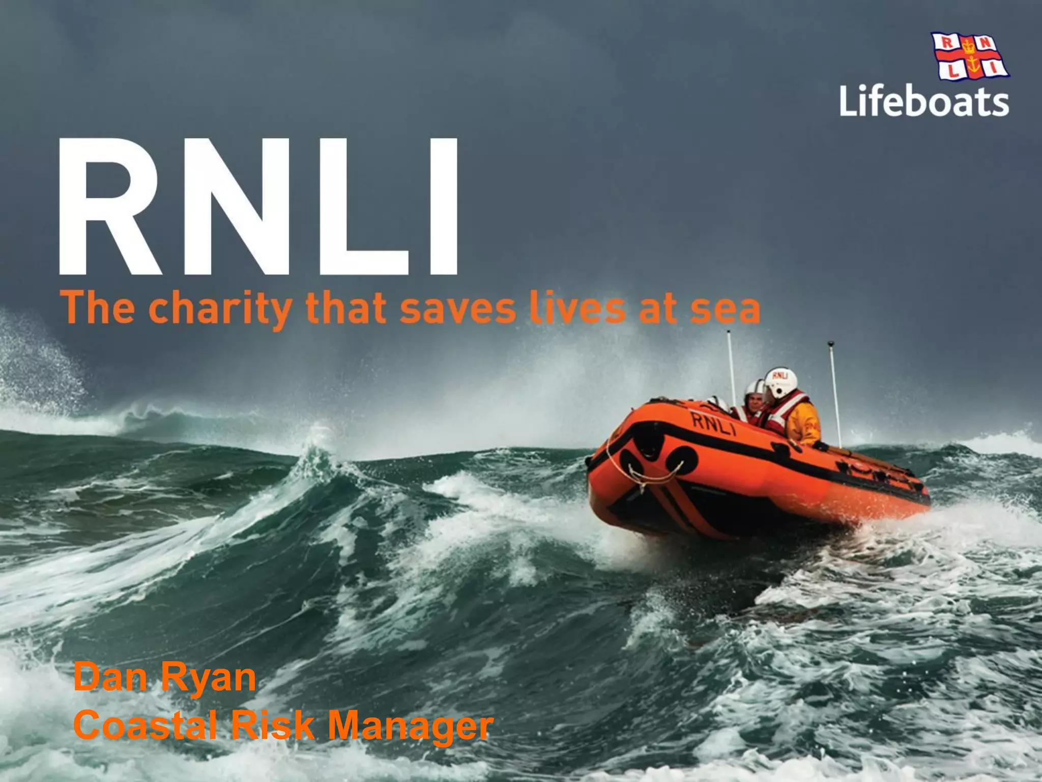
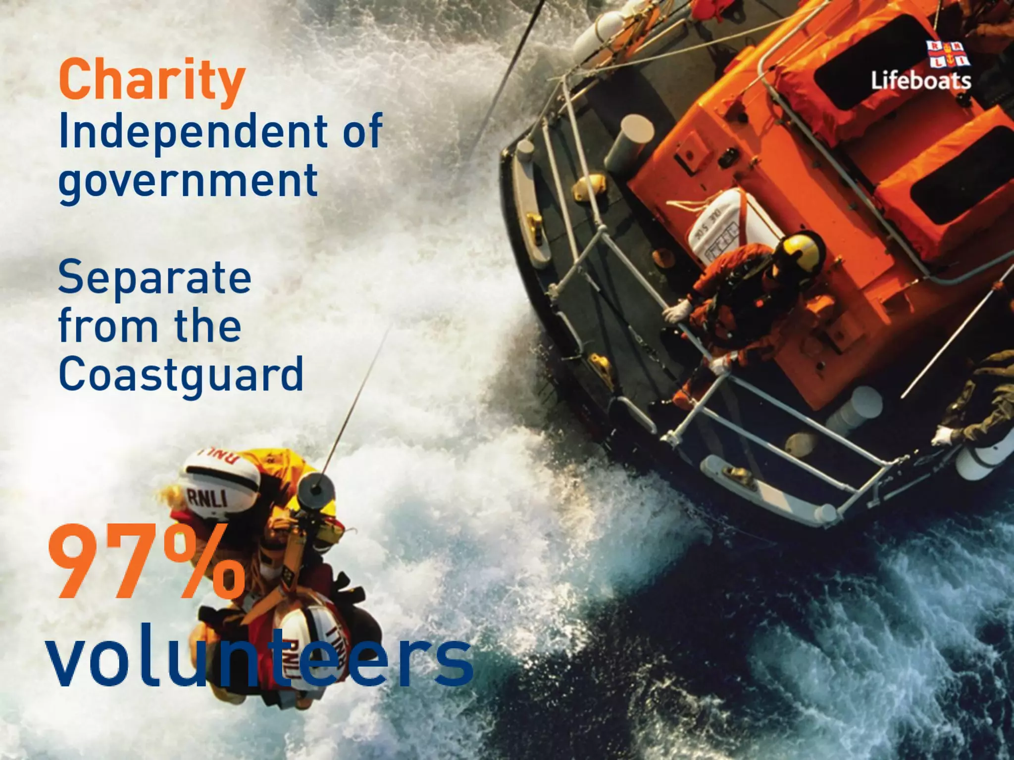
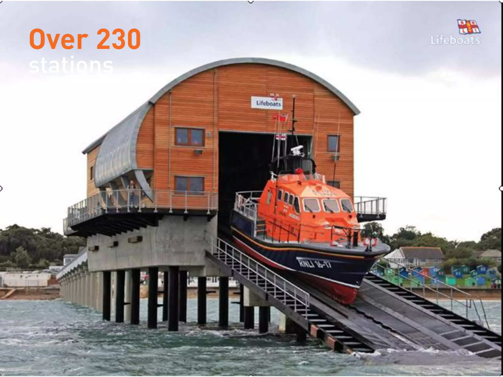
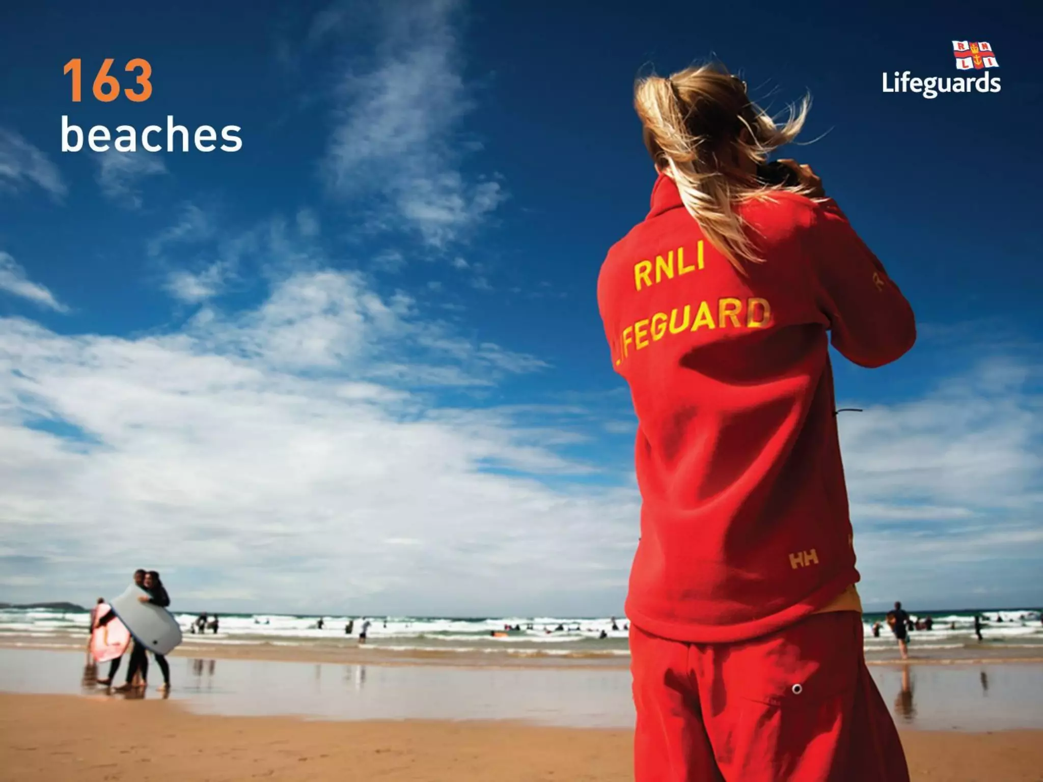
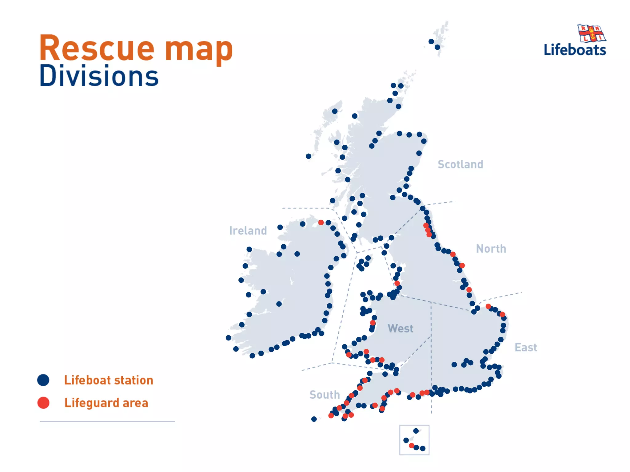
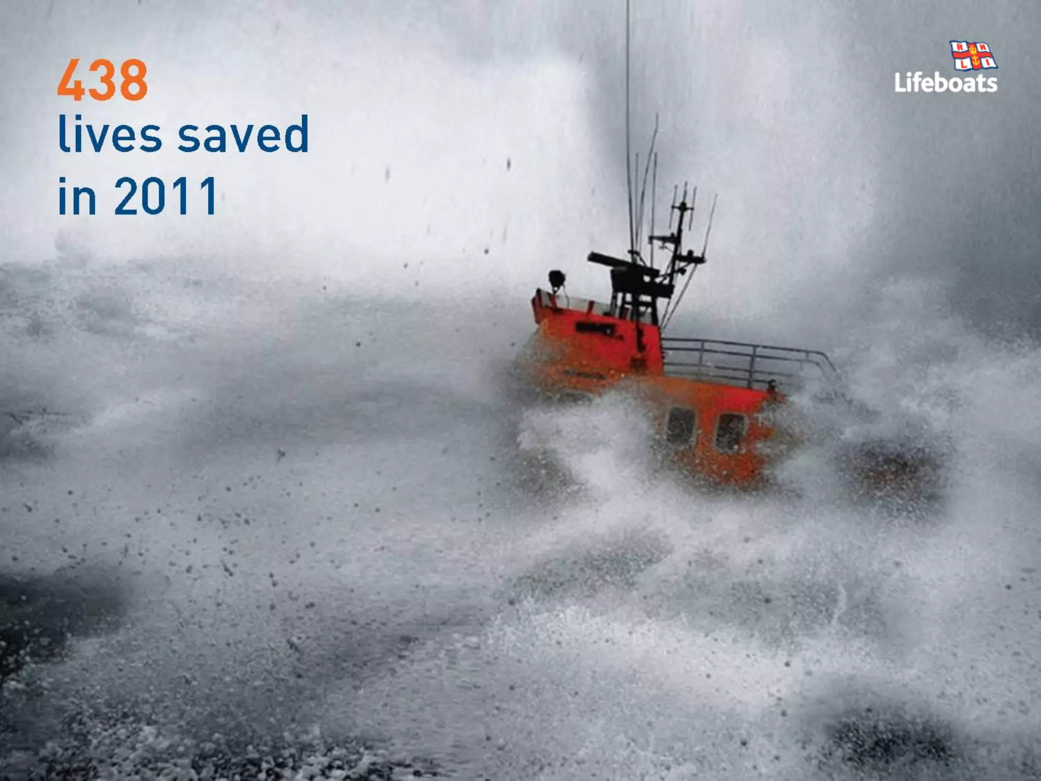
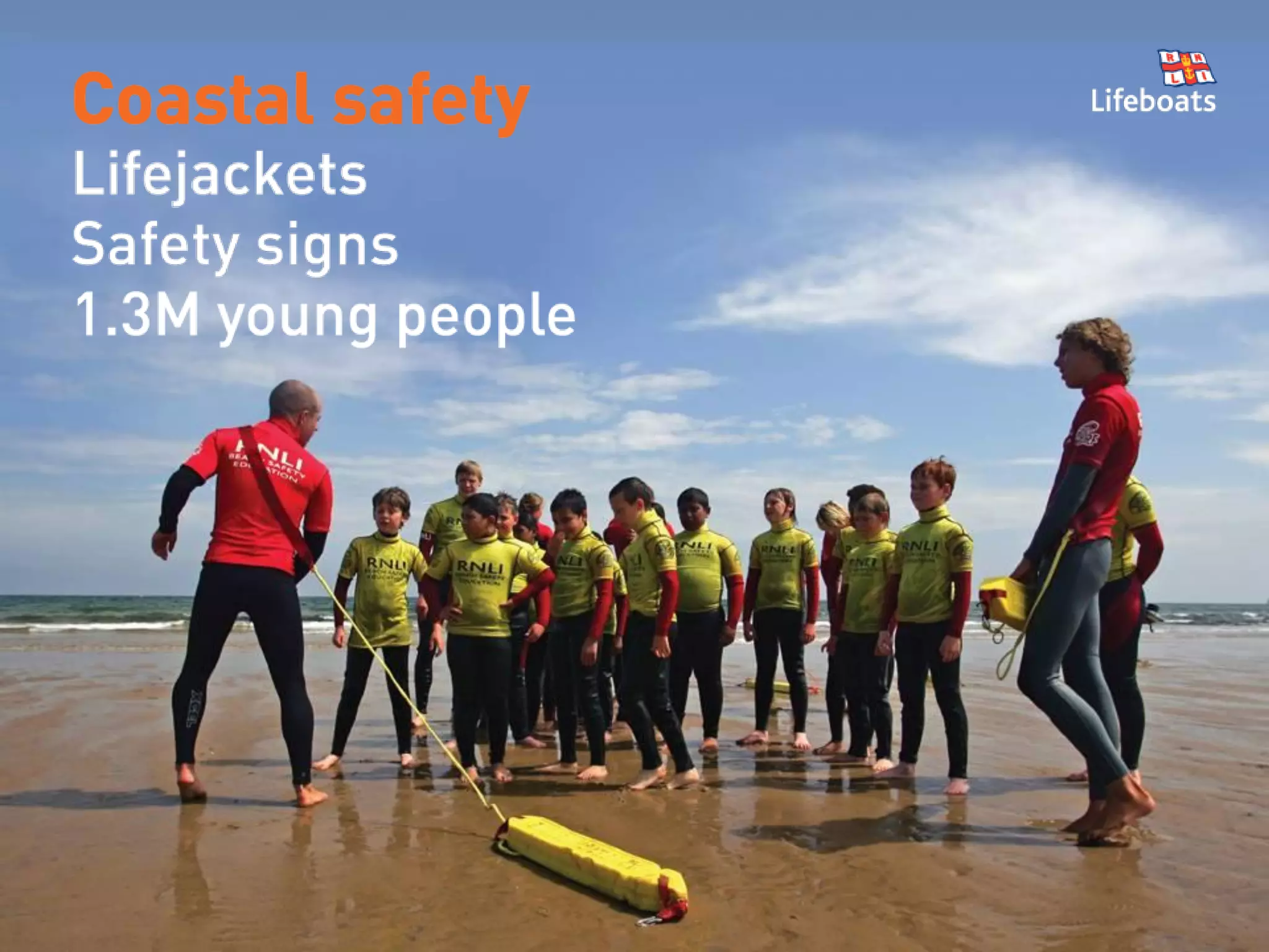
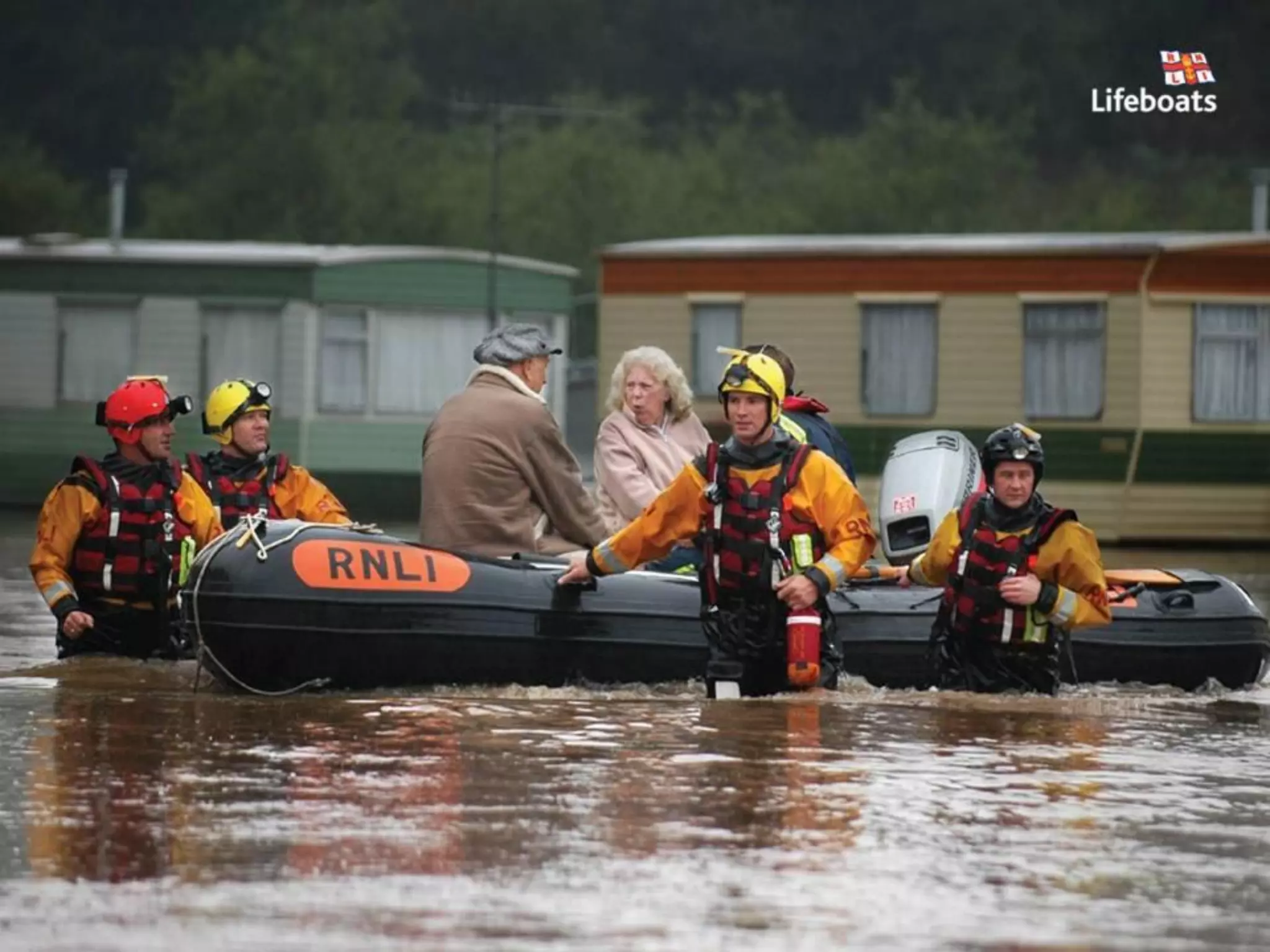
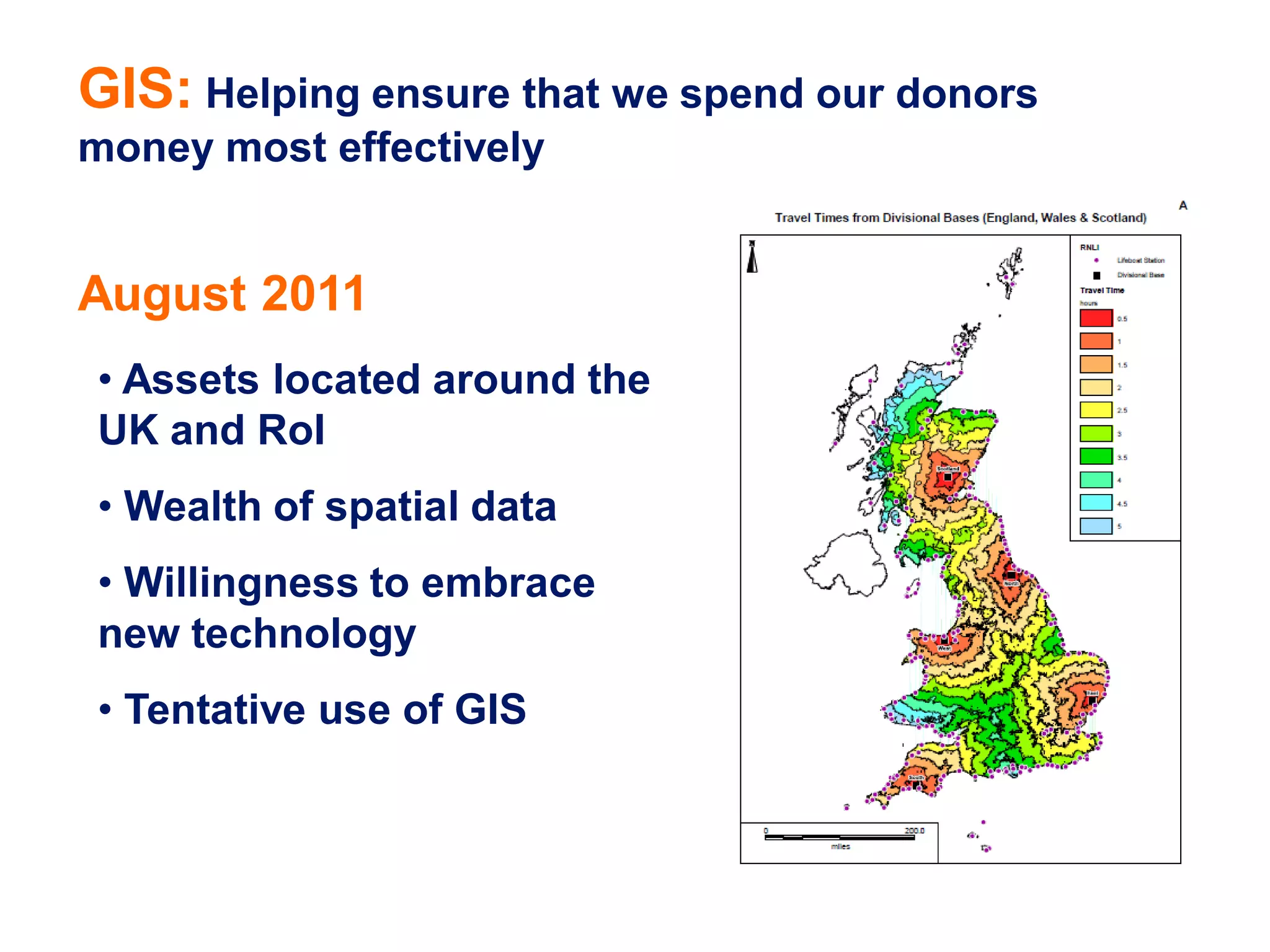
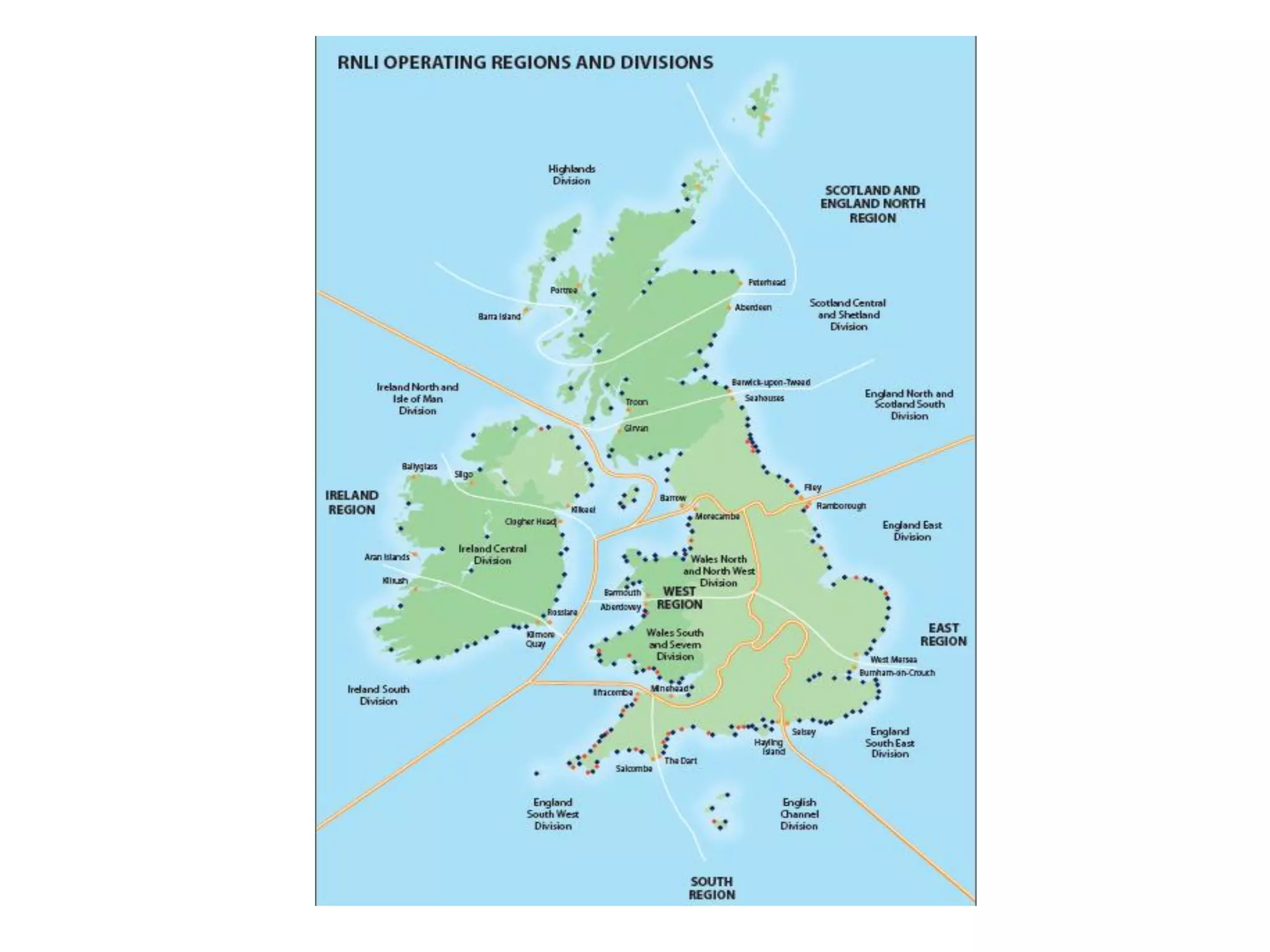
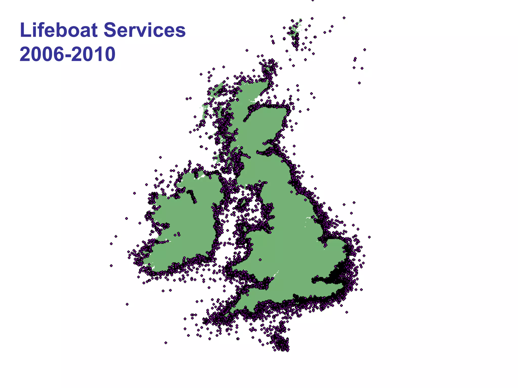
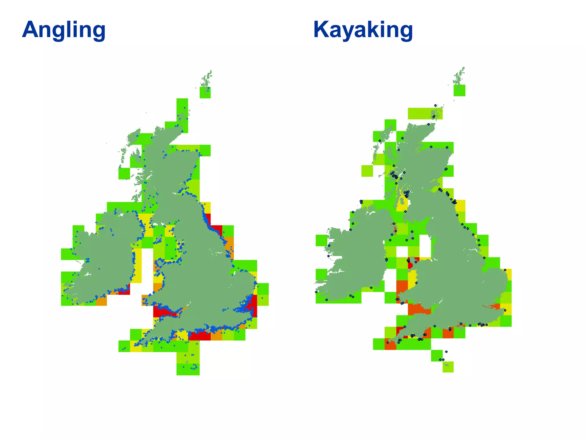
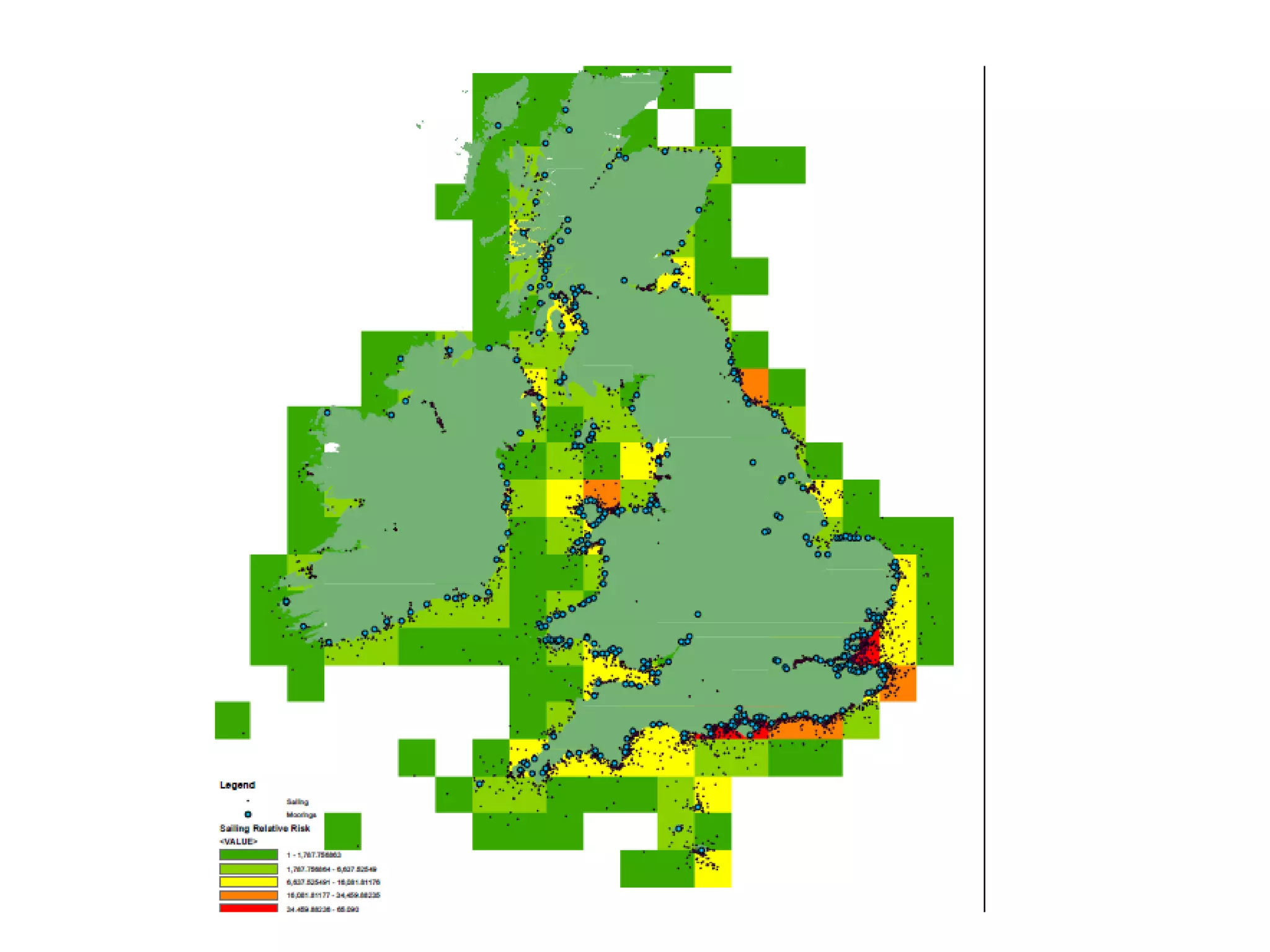
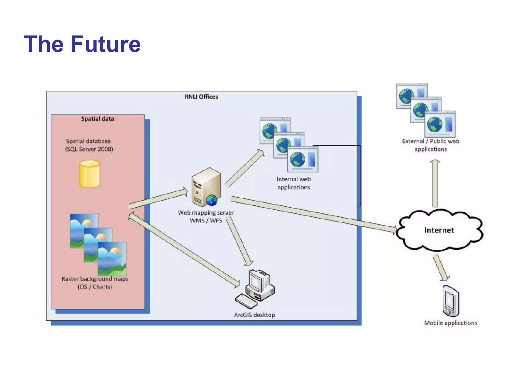

Dan Ryan is a coastal risk manager who gave a presentation on using GIS (geographic information systems) to help a charity spend donor money most effectively. The charity has assets around the UK and Ireland and a wealth of spatial data, and is willing to embrace new technology like GIS. Currently the charity uses GIS tentatively but the presentation discusses using it more in the future to aid decision making for activities like lifeboat services, angling and kayaking programs.


![Coded Agents – with UiPath SDK + LangGraph [Virtual Hands-on Workshop]](https://cdn.slidesharecdn.com/ss_thumbnails/codedagentsdeck-251215155422-5497c599-thumbnail.jpg?width=640&height=640&fit=bounds)


