Download as PDF, PPTX
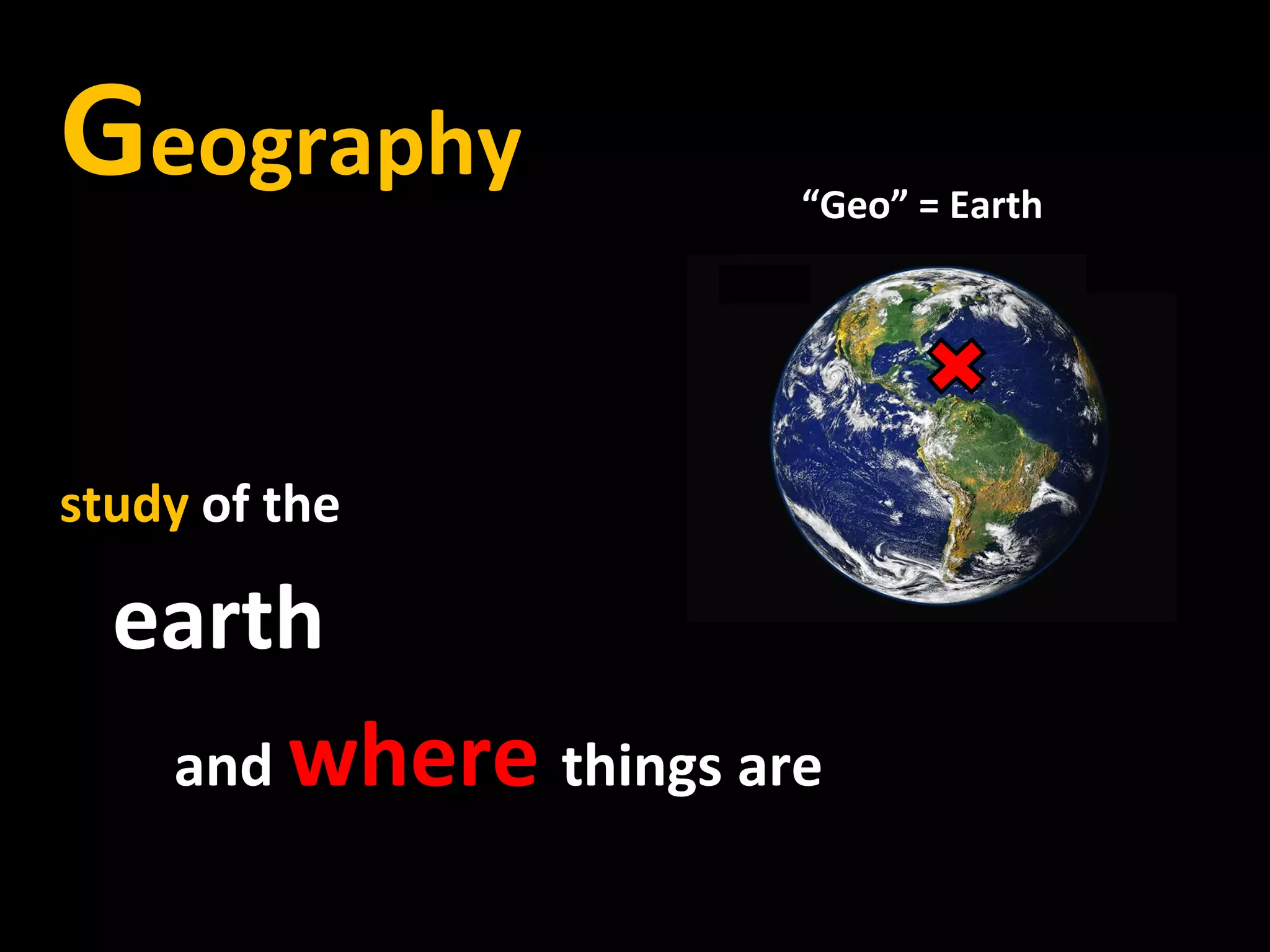
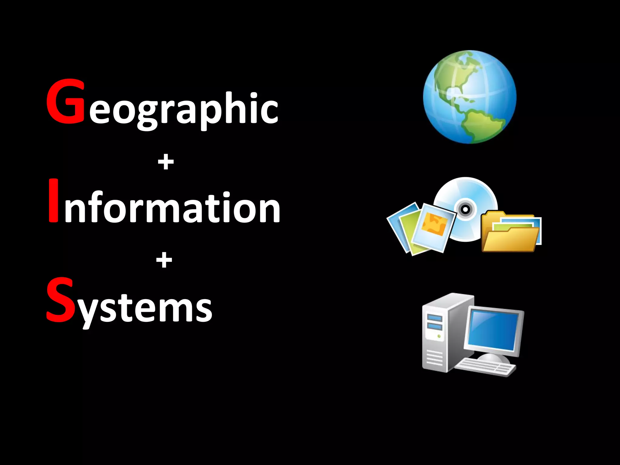
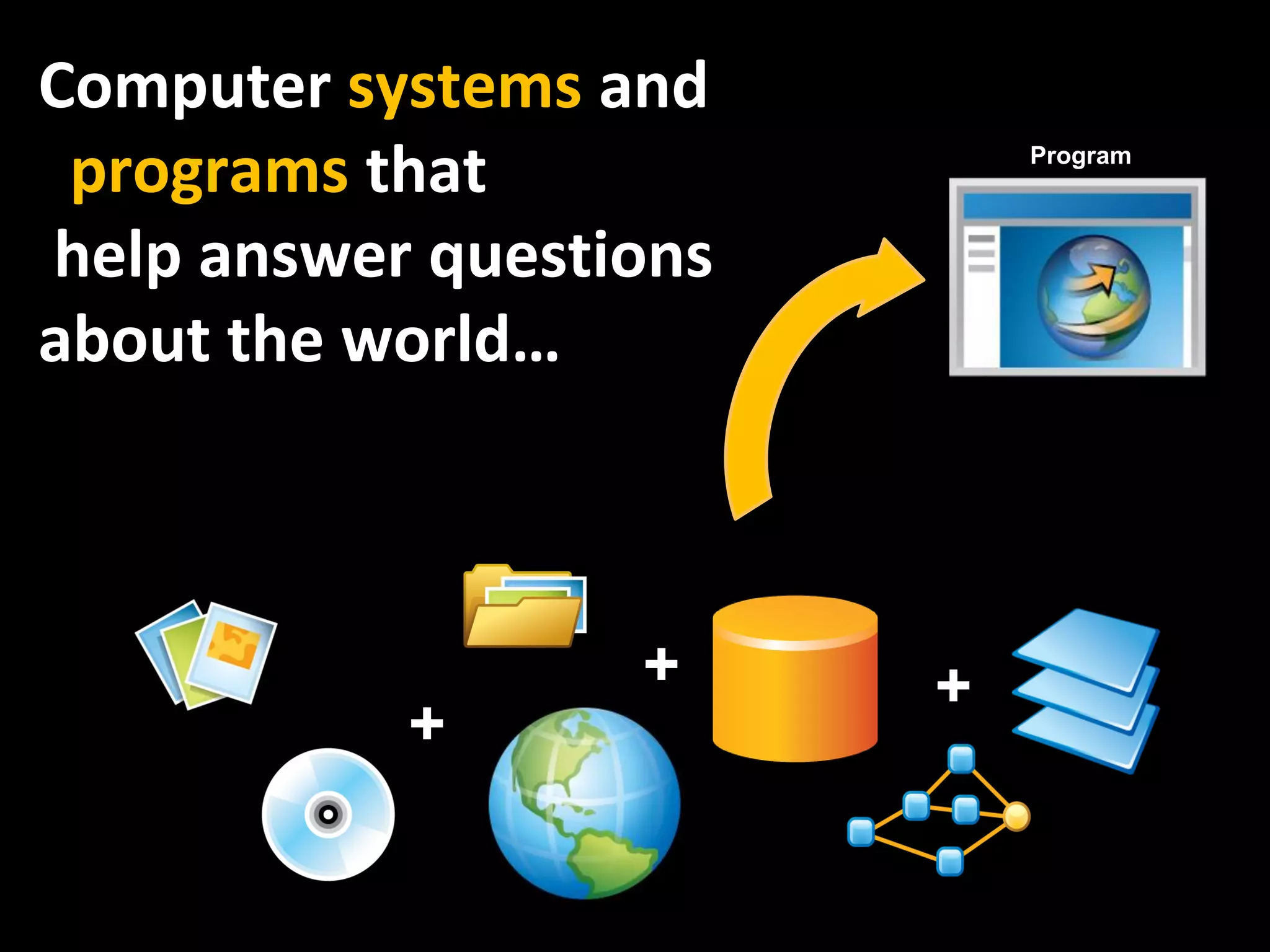
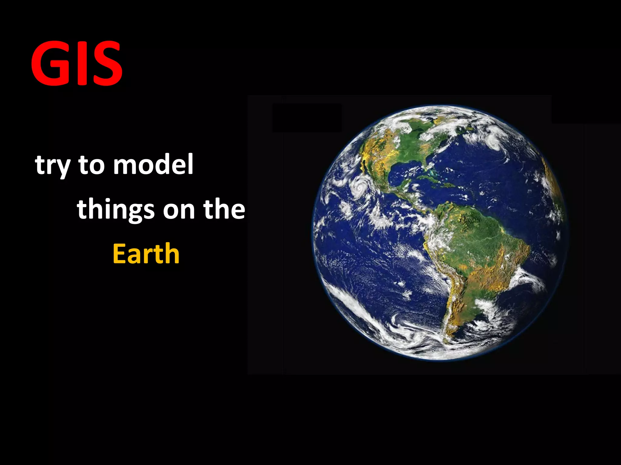
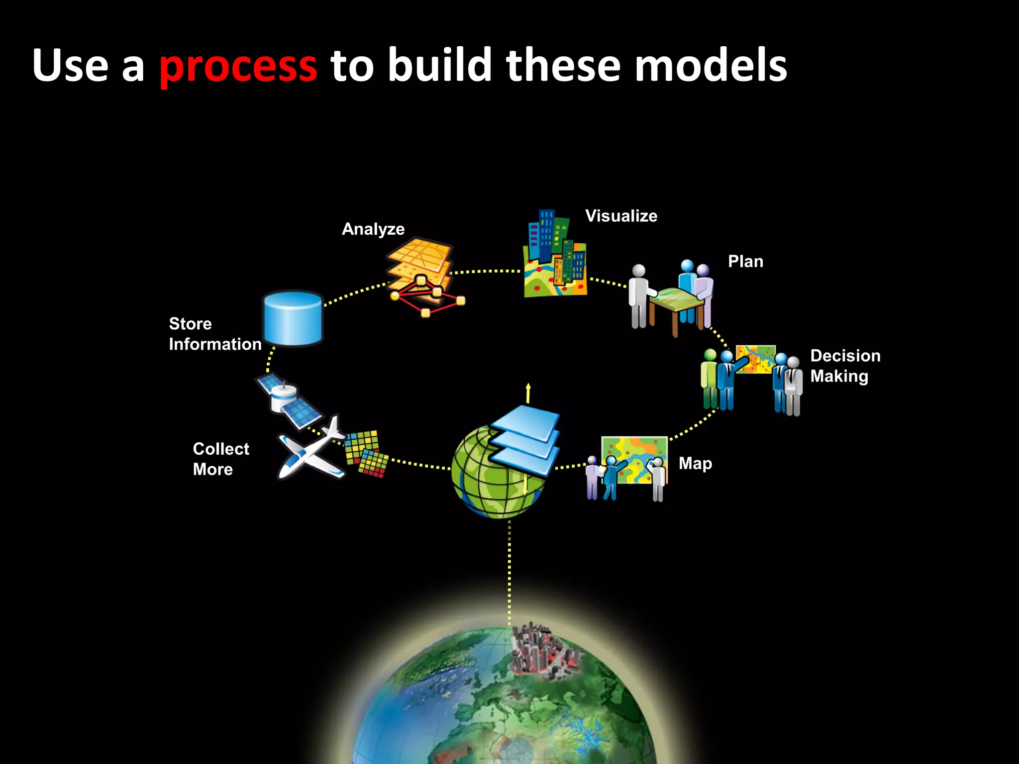
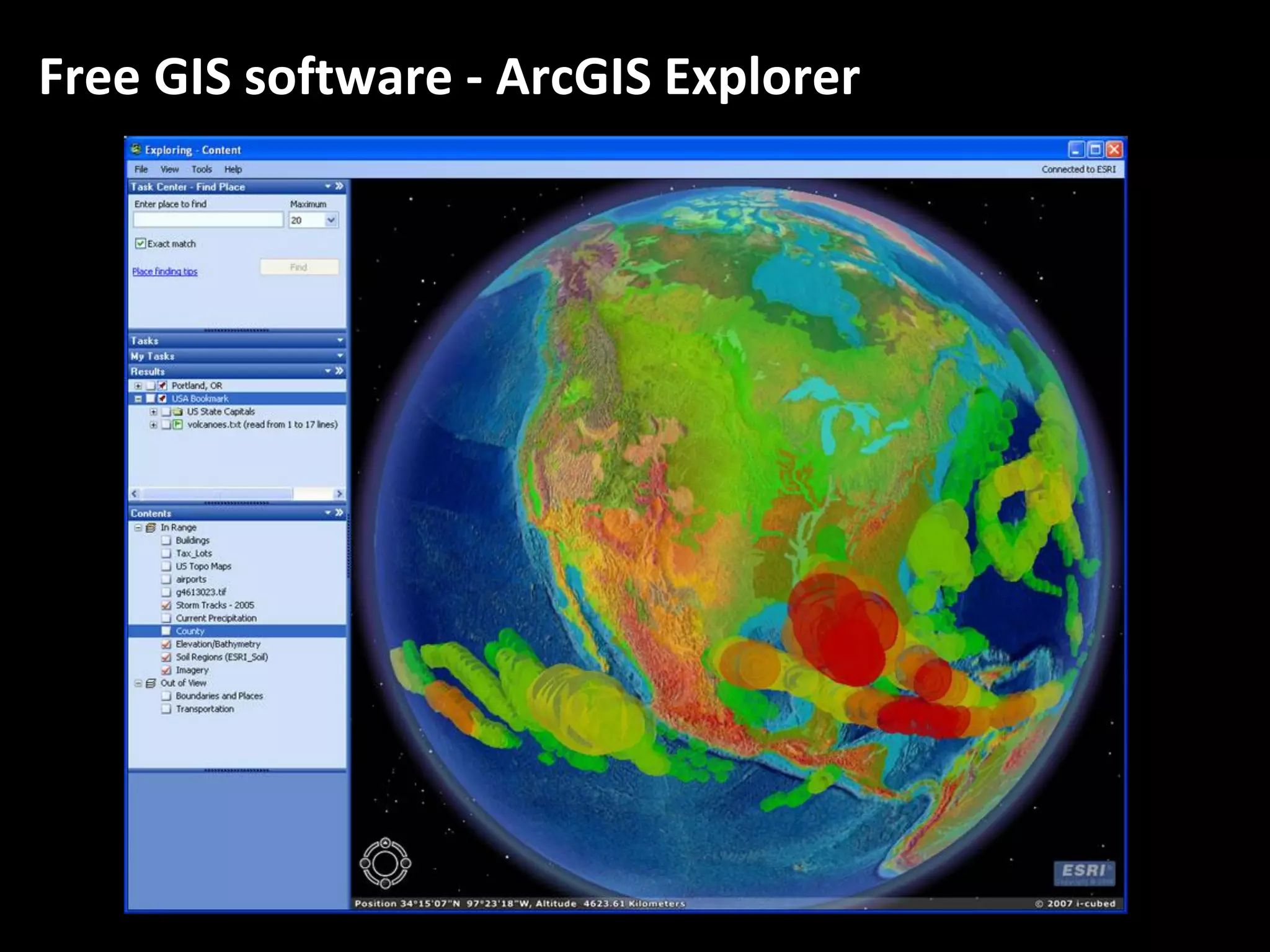
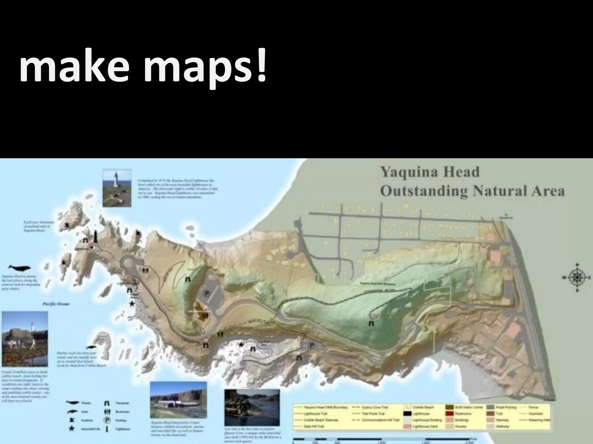

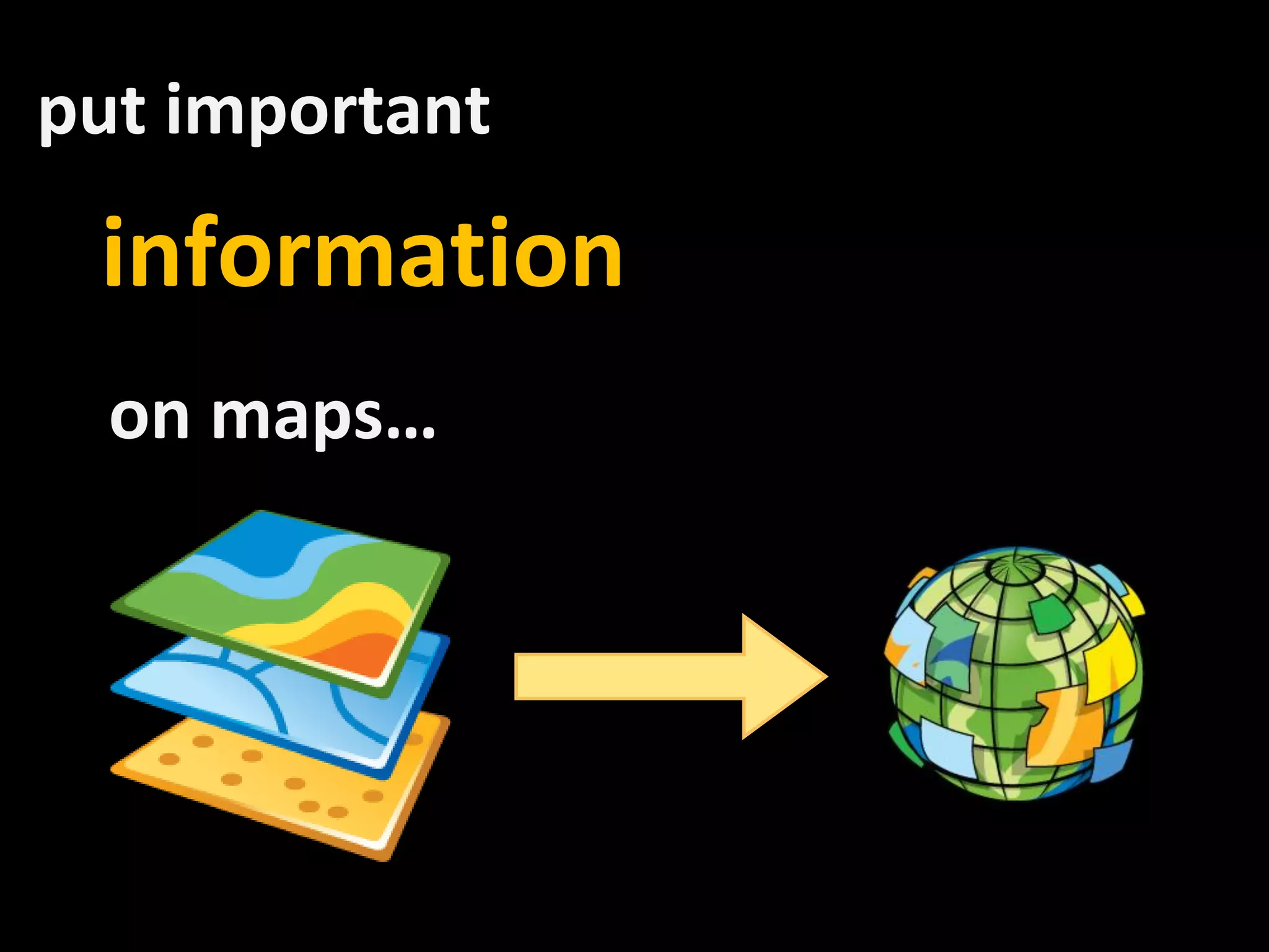
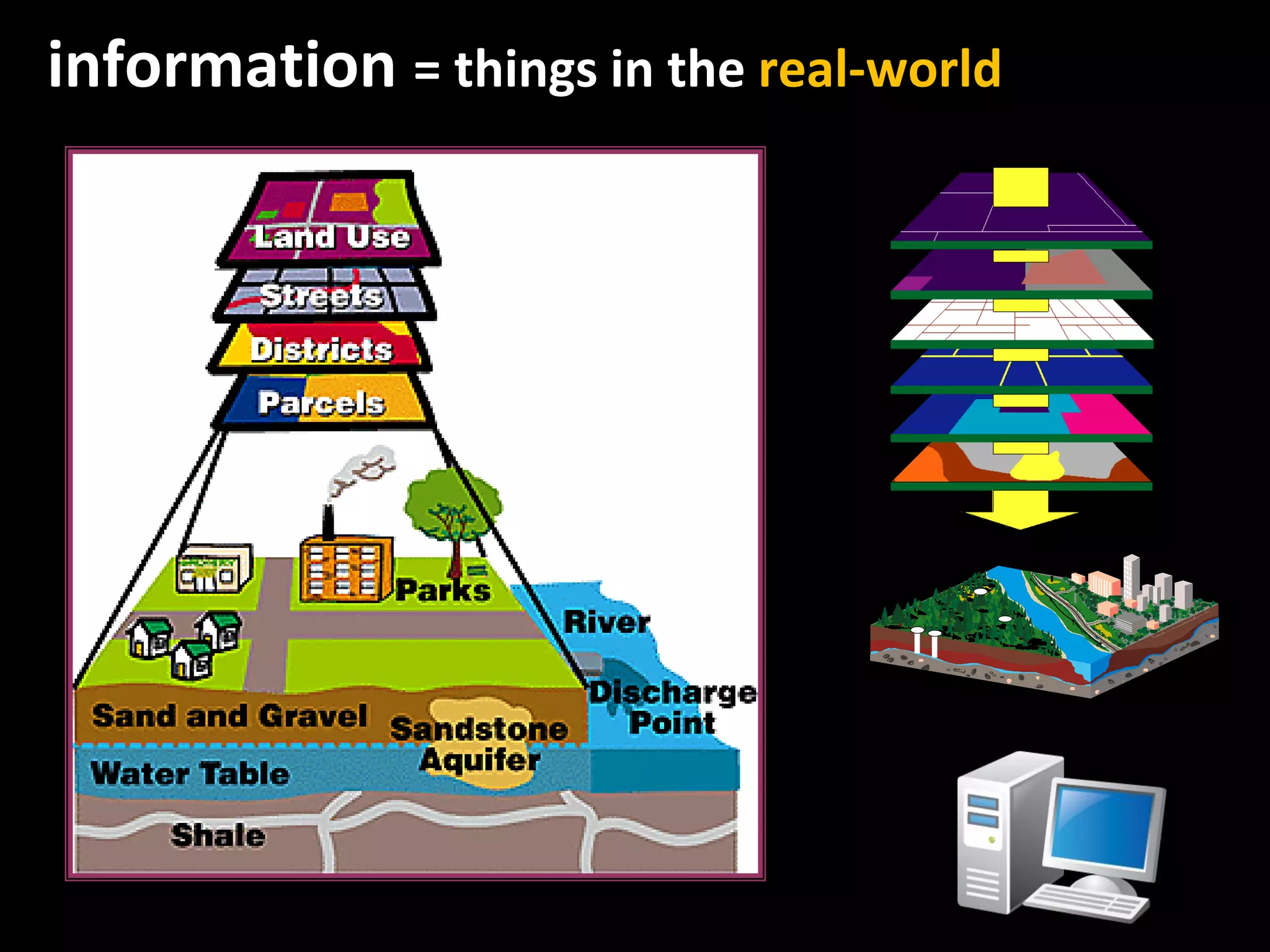
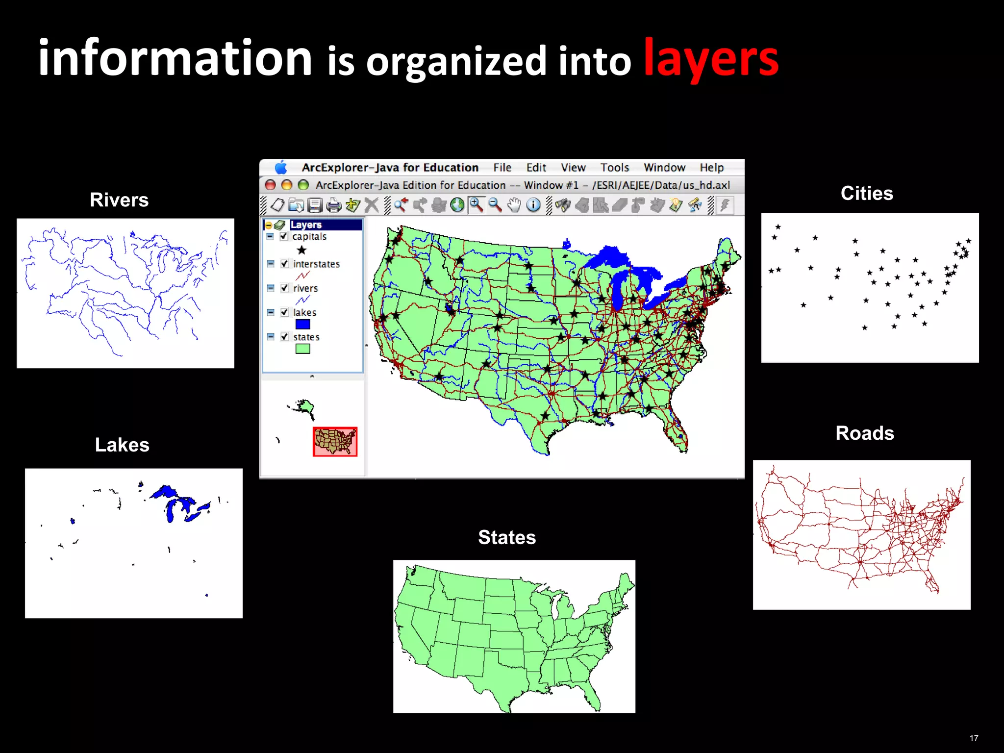
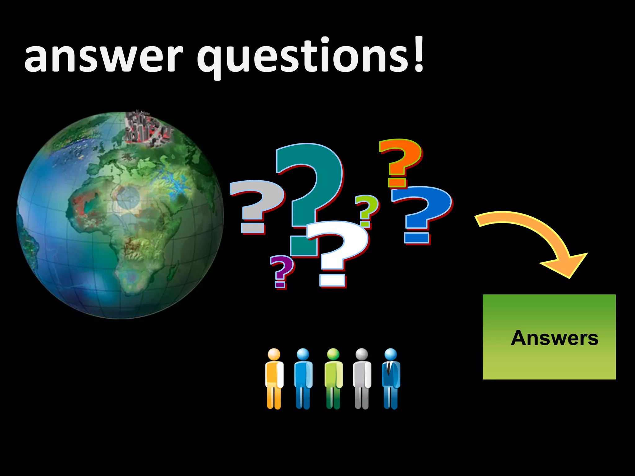
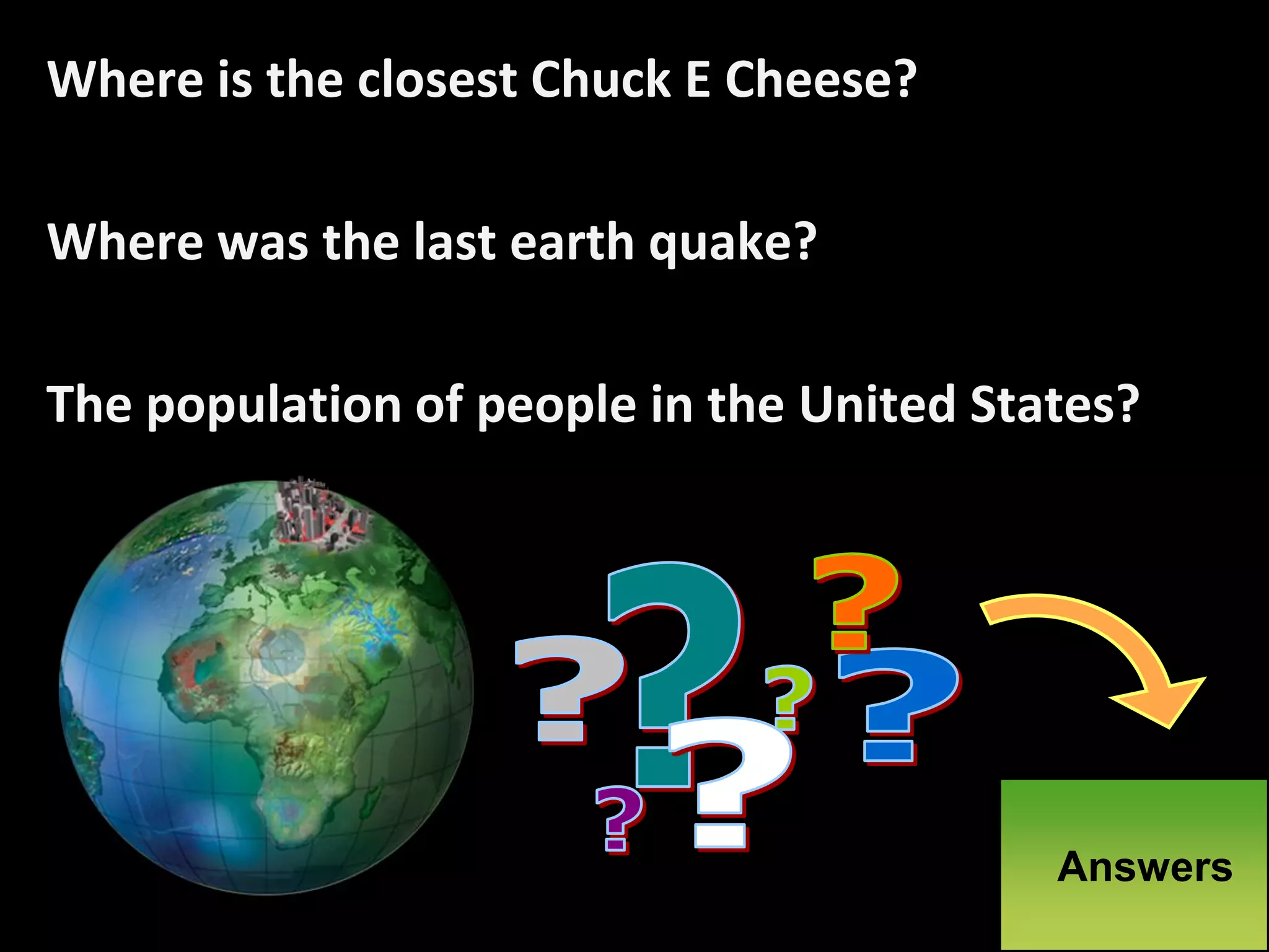

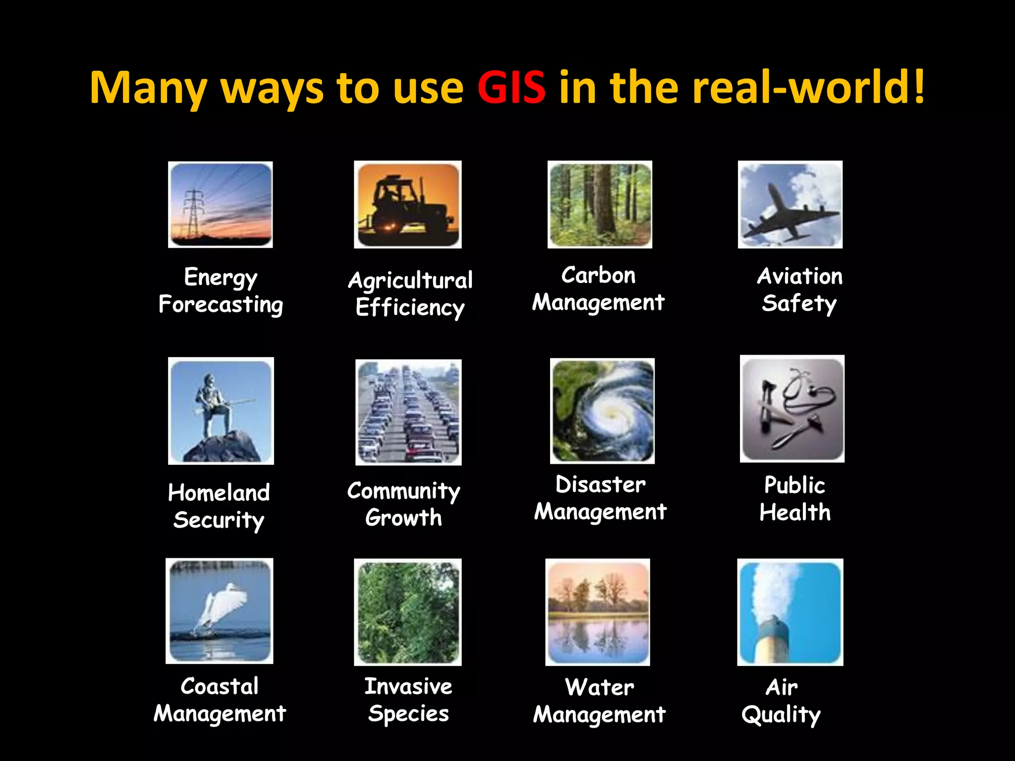

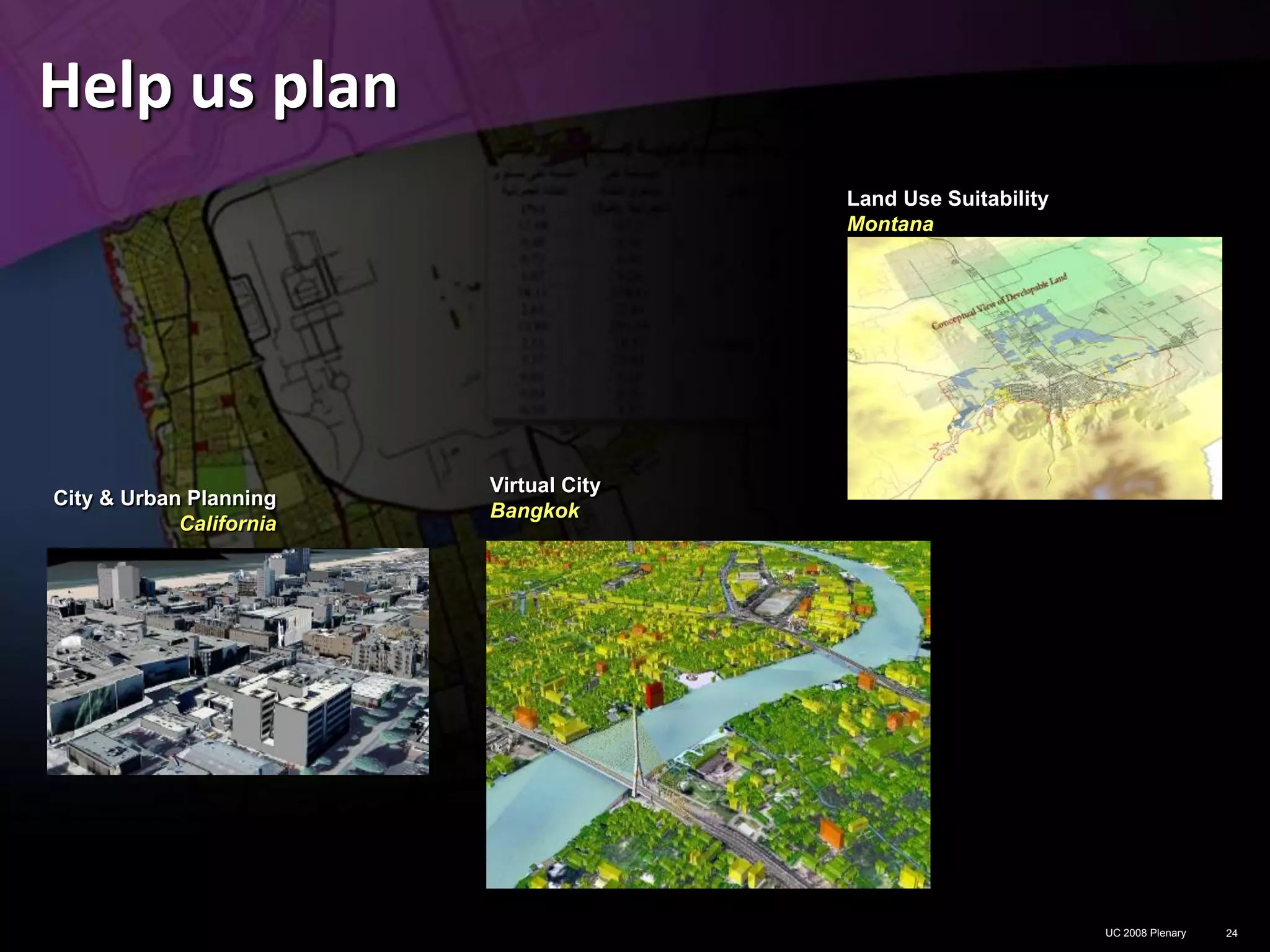
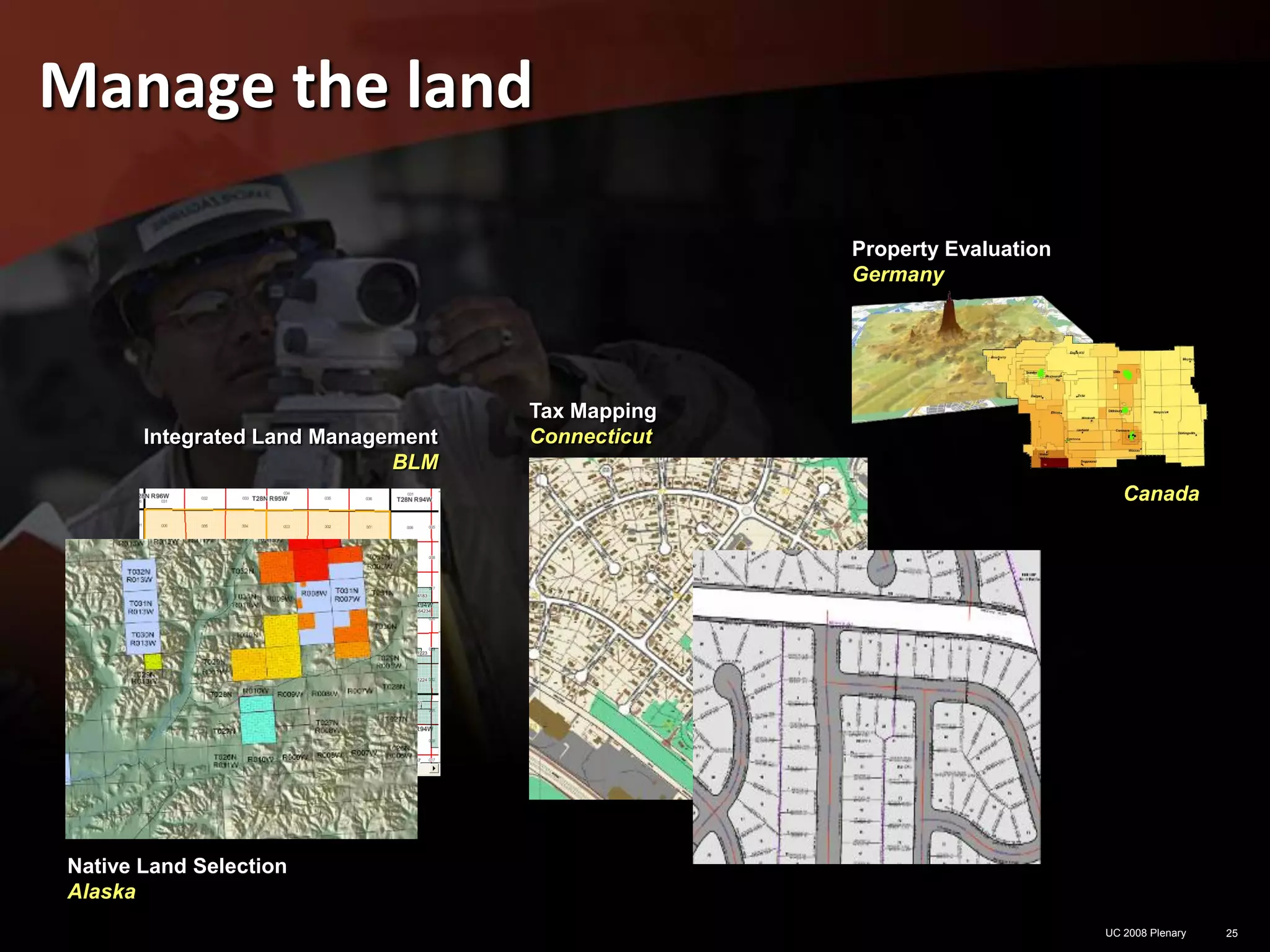
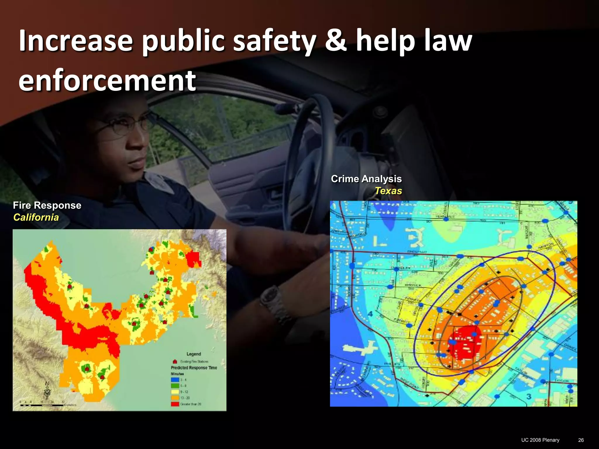
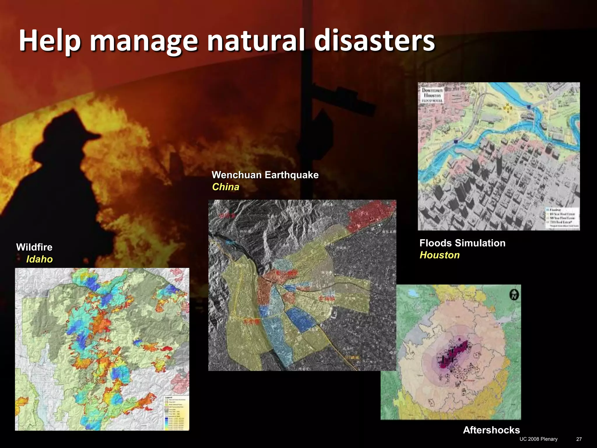
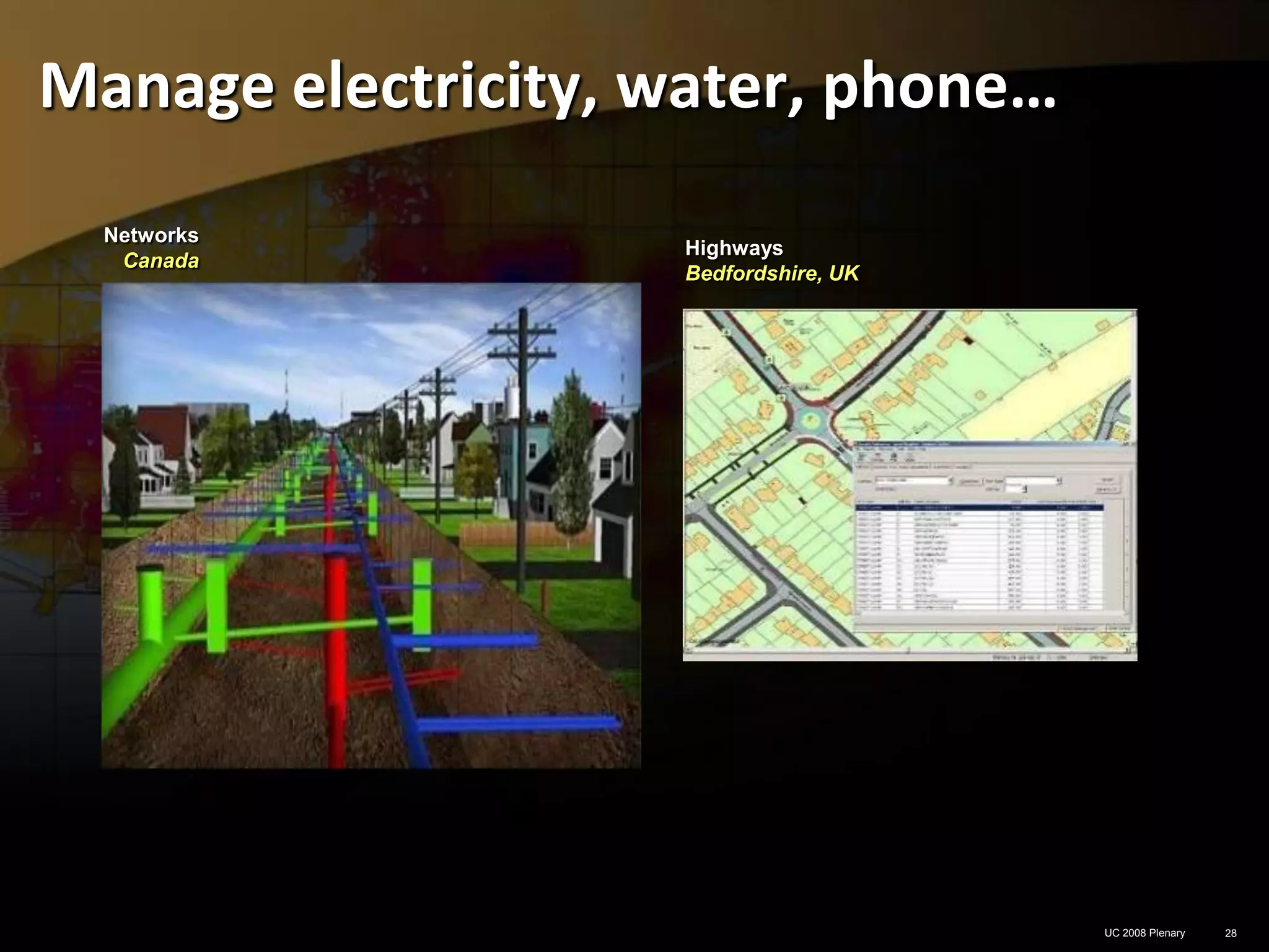
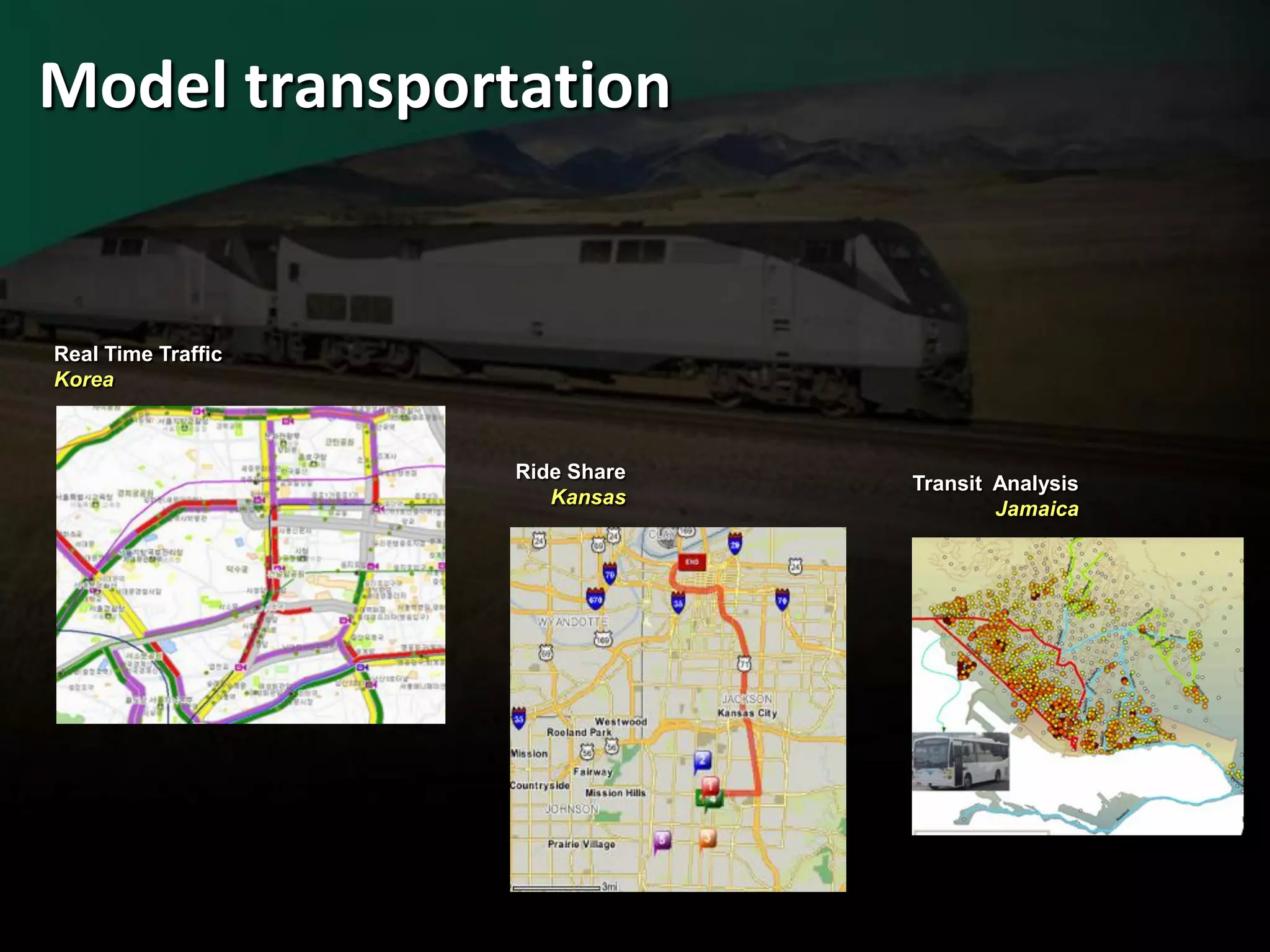
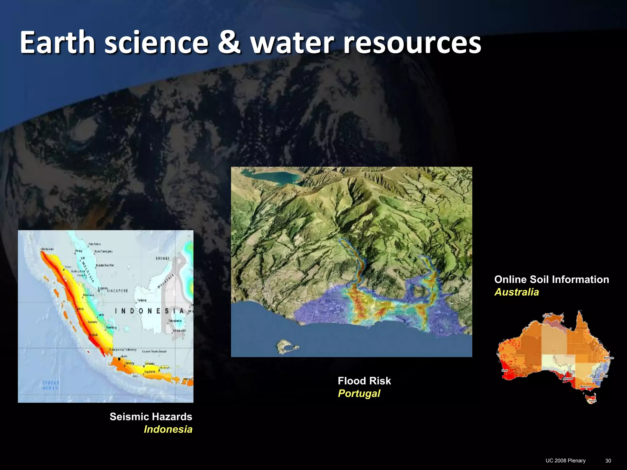
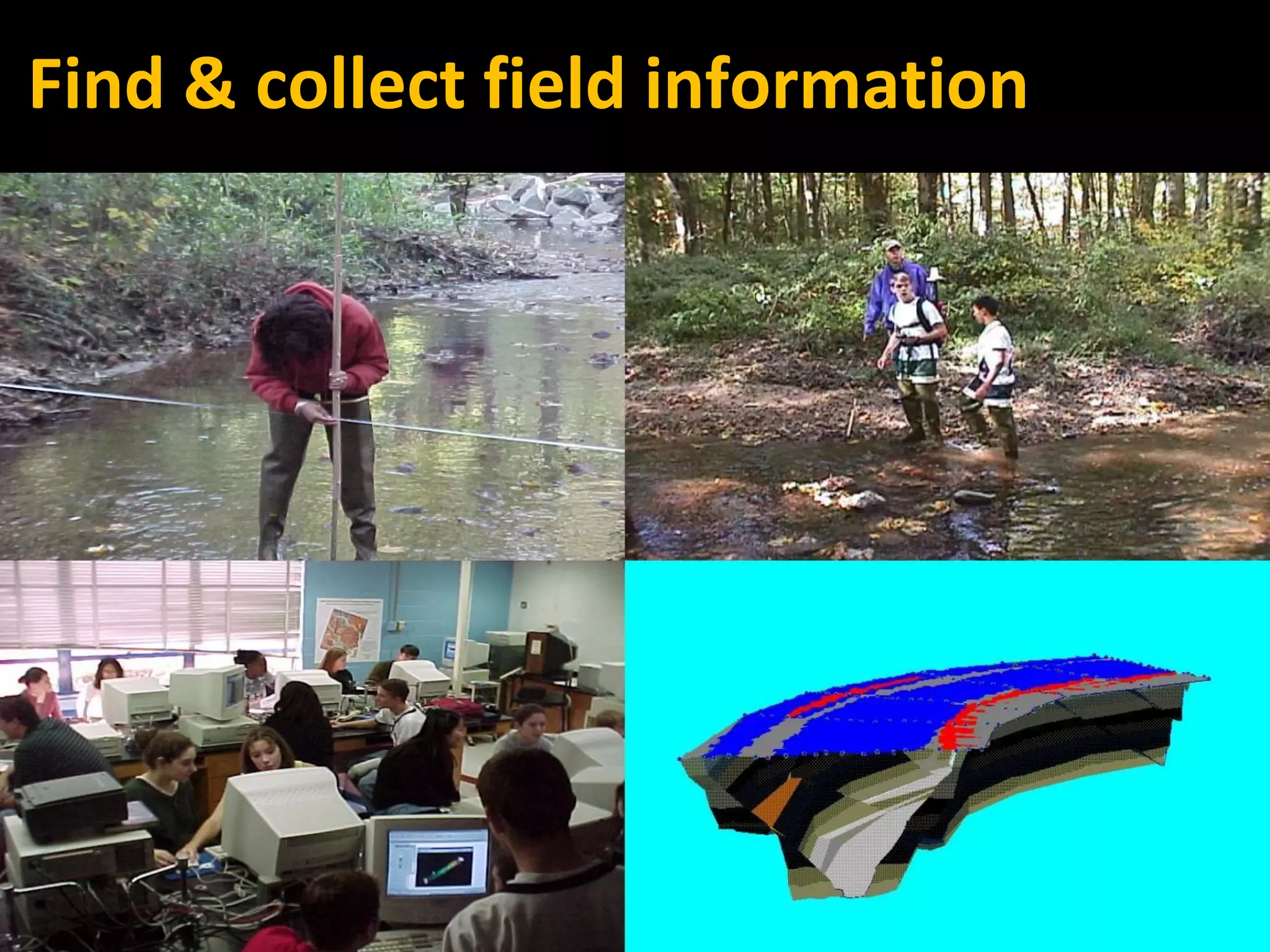

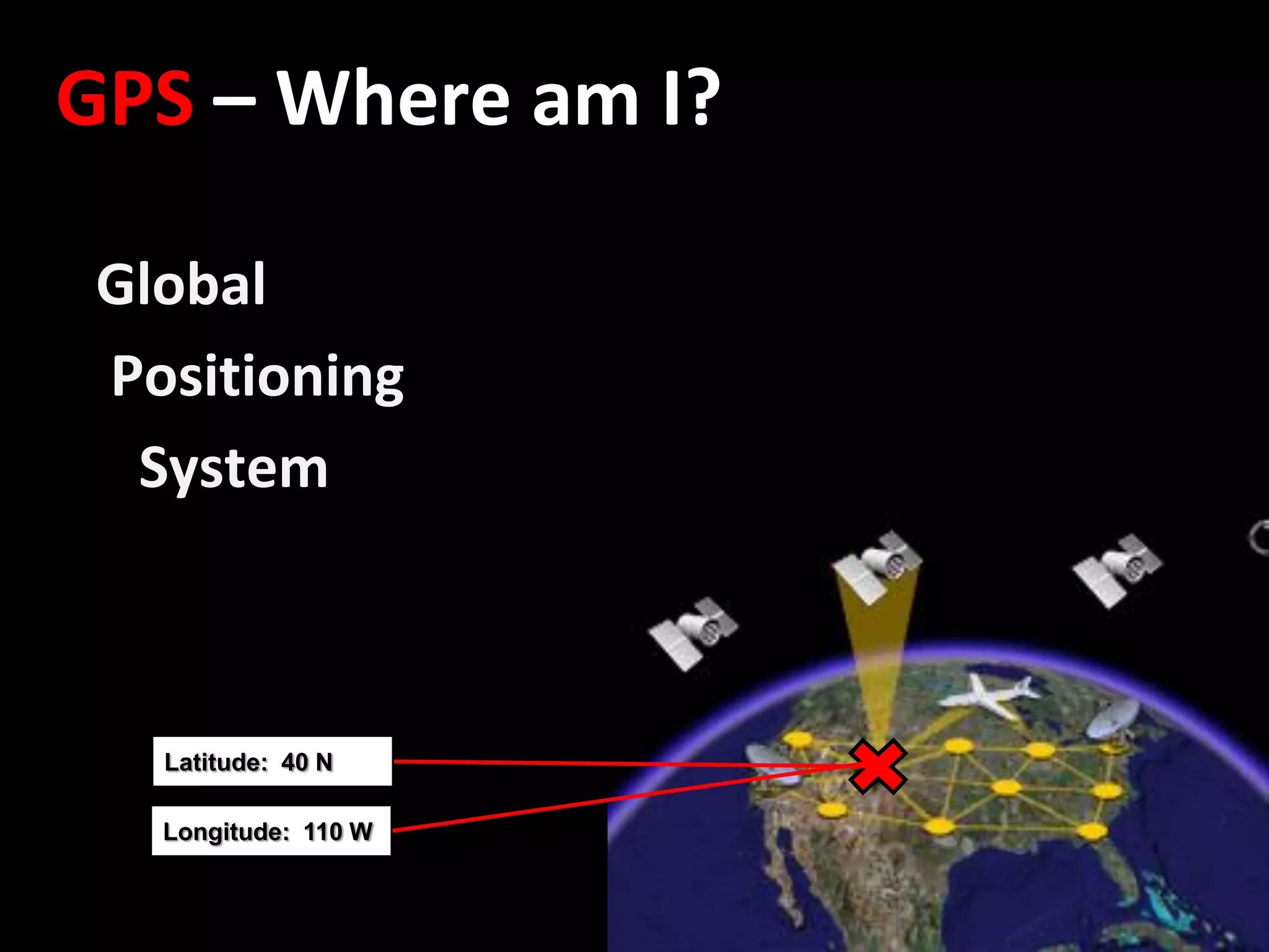
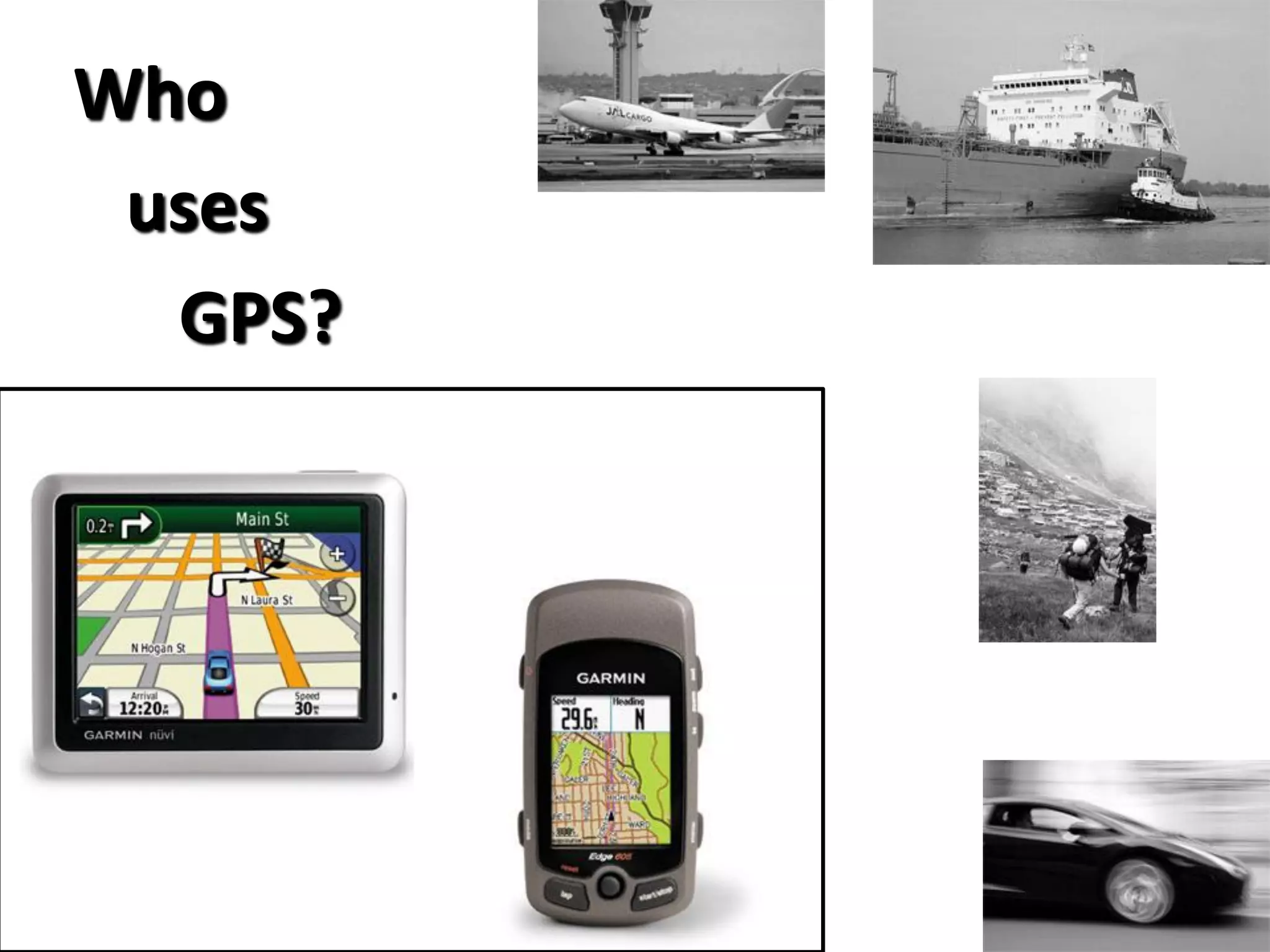

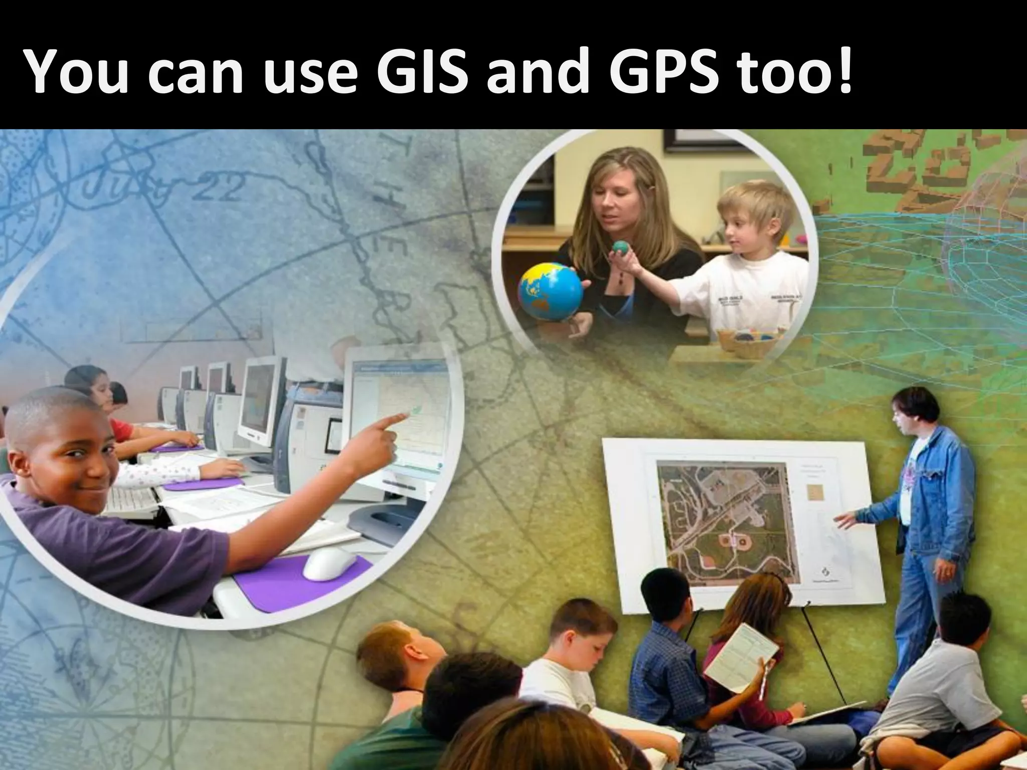
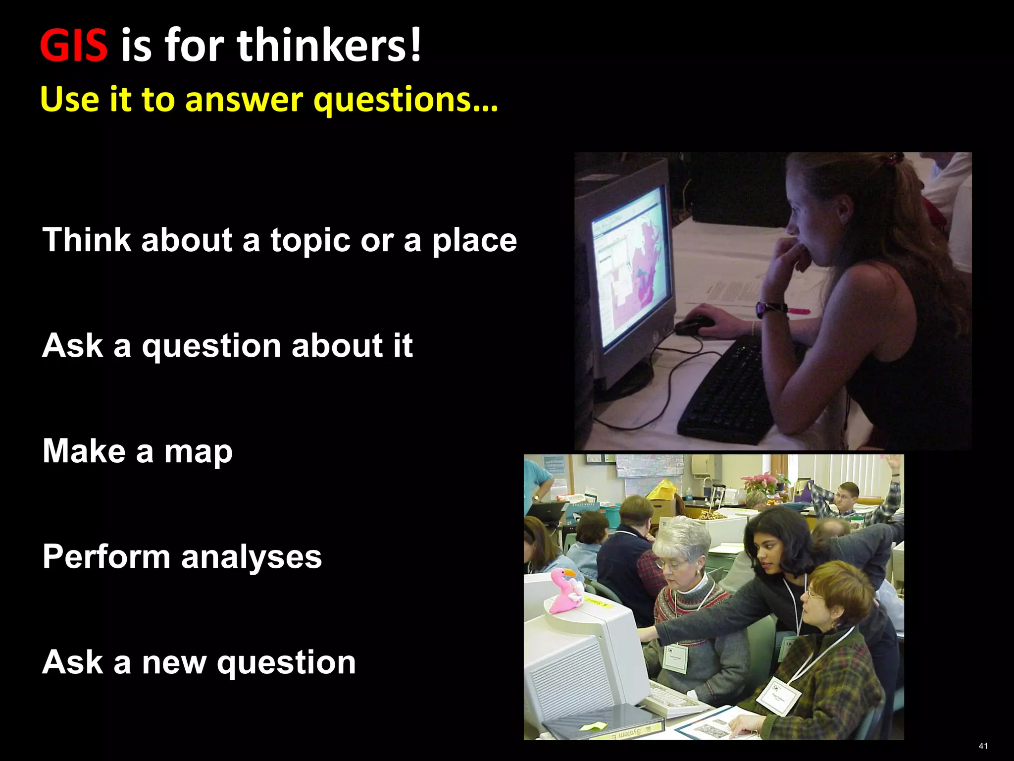
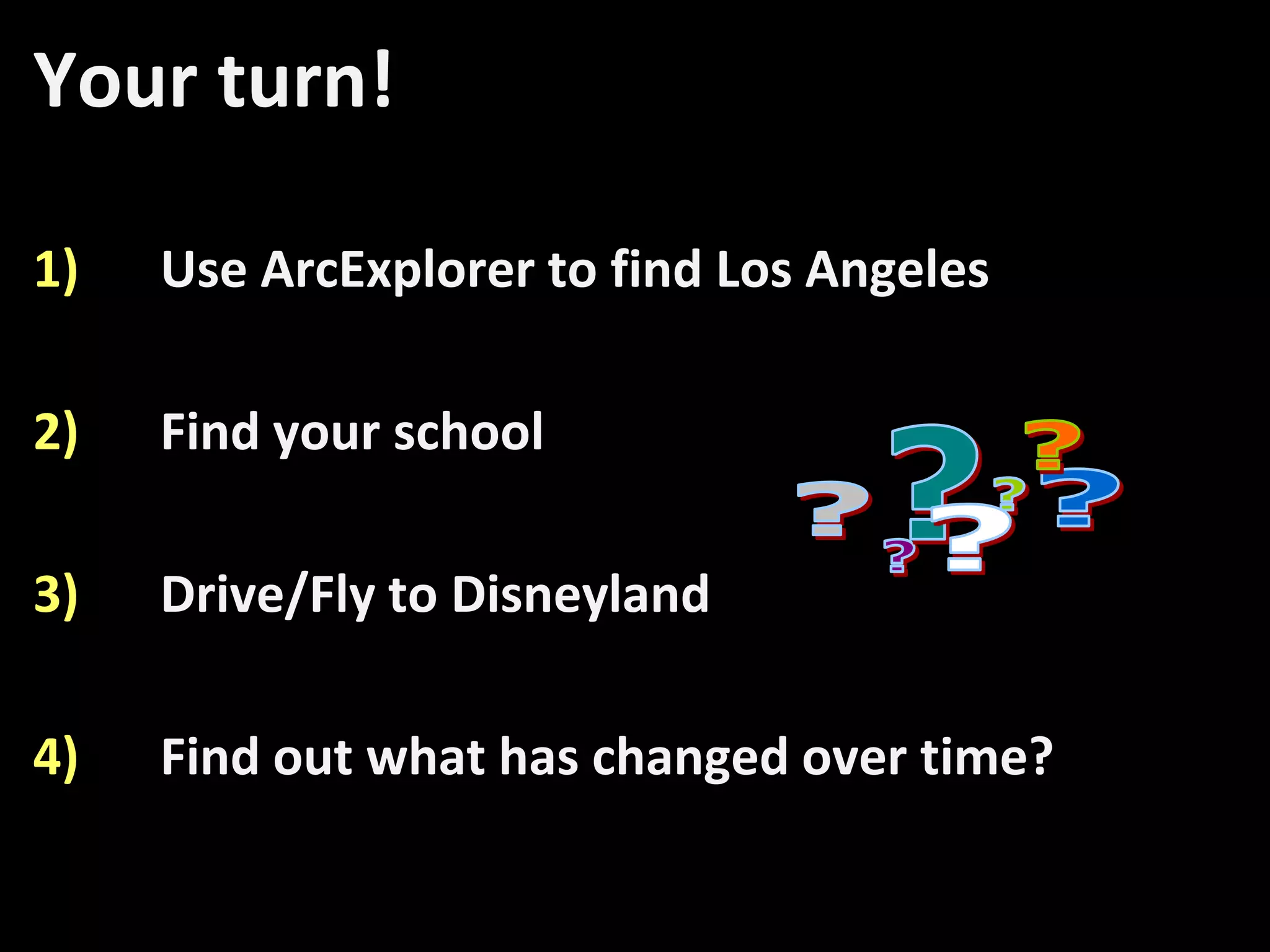
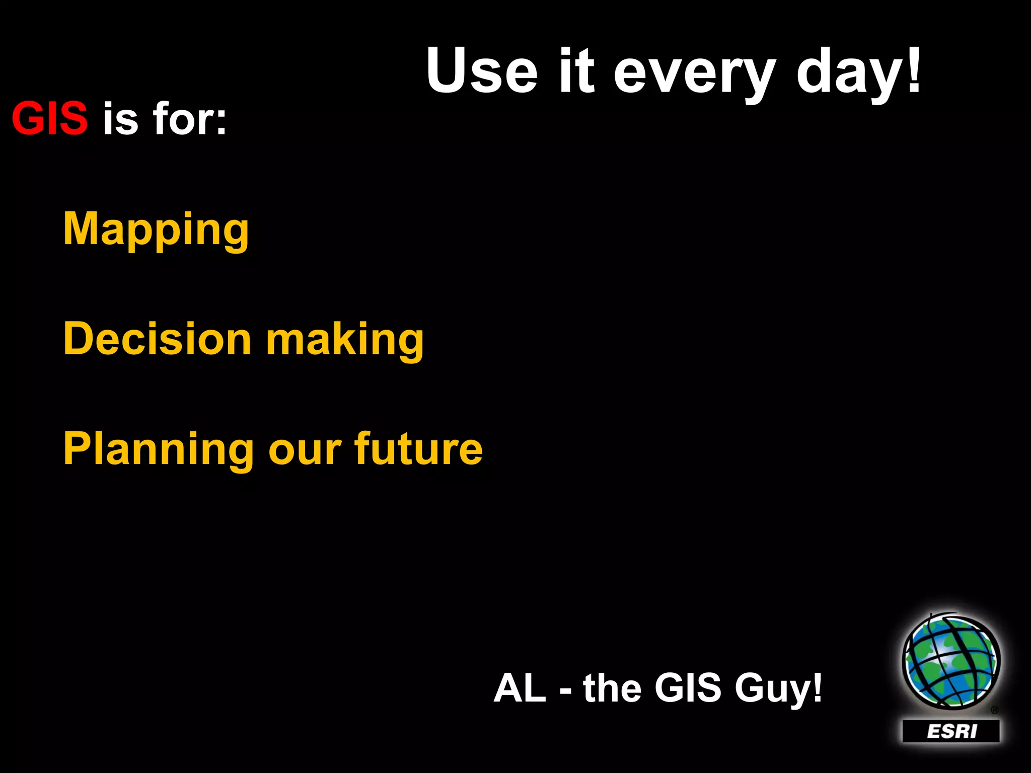

The document provides an introduction to Geographic Information Systems (GIS), explaining its role in modeling and analyzing geographical data to answer questions about the Earth's features. It outlines various applications of GIS, including map creation, land use planning, disaster management, and public safety. The text also encourages engagement with GIS technology for personal use, such as GPS functionality and geocaching.