Download to read offline
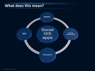


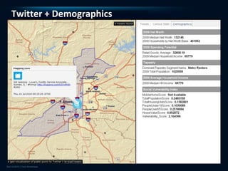
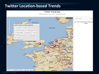
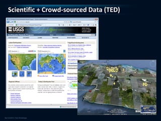

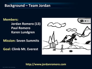


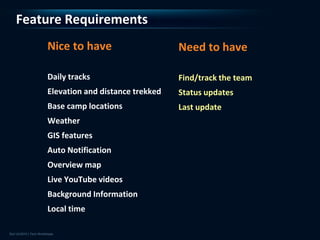


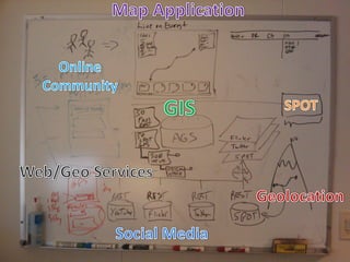


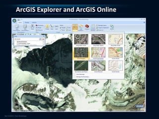

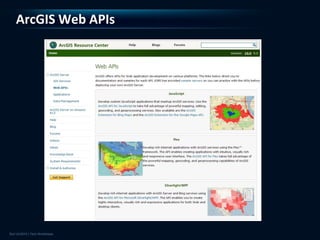


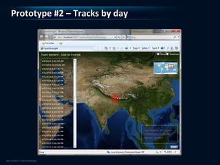

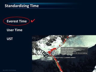


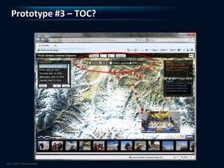


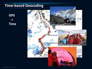


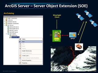

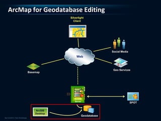
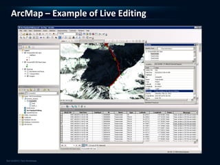


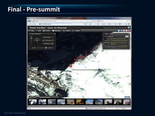
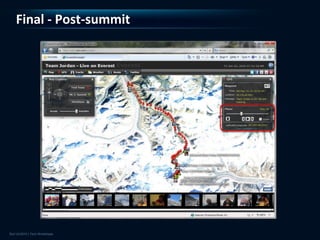


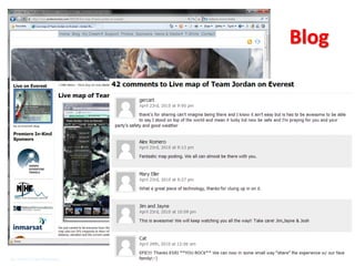
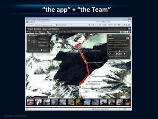


This document describes the development of a real-time GIS and social media application called "Live on Everest" that tracked the climbing expedition of Jordan Romero up Mount Everest. It discusses how the ArcGIS platform was used to integrate geolocation data from SPOT GPS, social media updates, and photos/videos to create a map-based experience for followers. Key aspects included designing prototypes, implementing services, and handling challenges of the remote environment and limited connectivity to successfully share the climbers' experience in real-time.