Downloaded 594 times

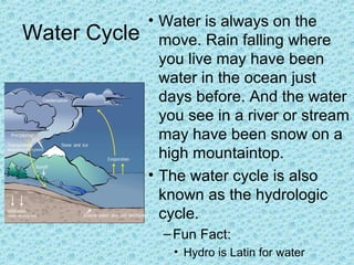


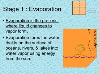

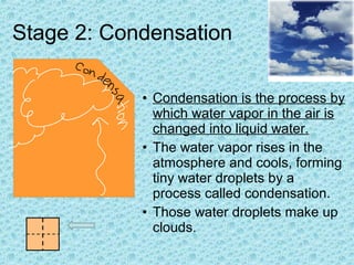


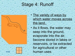
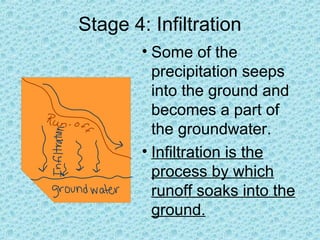
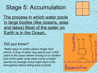
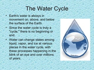
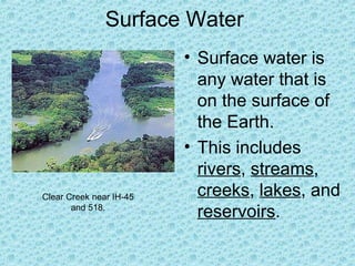
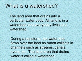
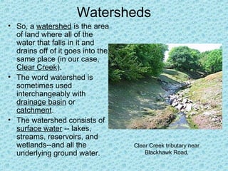


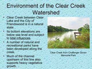


The document provides information about the water cycle and groundwater. It explains that water is constantly moving through different stages of the water cycle, including evaporation, condensation, precipitation, and runoff. Some key points made are that water can exist in liquid, solid and gas forms; the water cycle involves water evaporating from oceans and transpiring from plants, condensing to form clouds, and precipitating as rain or snow; and runoff can infiltrate underground and become groundwater stored in aquifers. The document also gives a detailed explanation of the Clear Creek watershed near Houston, describing the environment, flooding risks, and tributaries that drain into the creek.