Download as PDF, PPTX

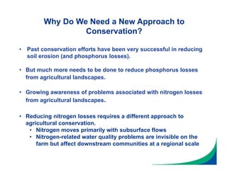
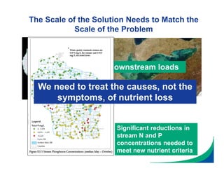
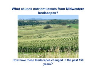
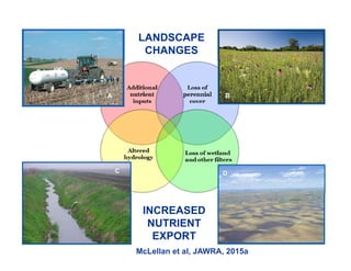
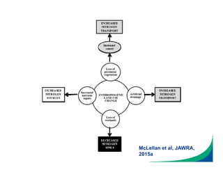
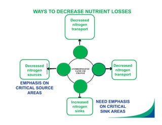
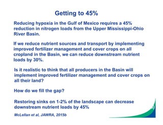
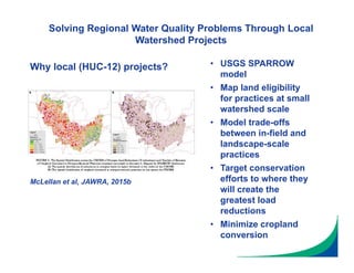
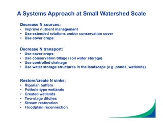
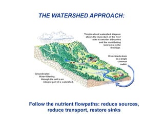
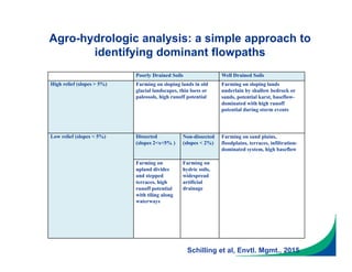
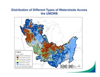
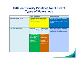
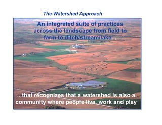
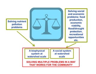
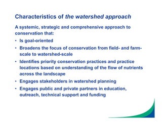


This document outlines an innovative watershed approach to reducing nutrient losses from agricultural landscapes. The key points are: 1) Past conservation efforts have successfully reduced soil erosion but more is needed to reduce nutrients like nitrogen and phosphorus. The scale of the problem requires solutions at the watershed scale rather than just the farm scale. 2) By understanding how landscapes have changed and nutrient flowpaths, critical source areas and sink areas can be identified. Restoring sinks on just 1-2% of the landscape can decrease downstream loads by 45%. 3) The watershed approach follows nutrient flowpaths and prioritizes practices to reduce sources, transport, and restore sinks. These may include improved fertilizer management, cover crops