Download as PDF, PPTX
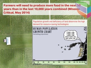
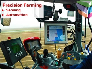
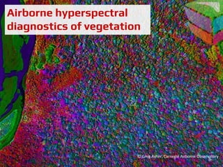

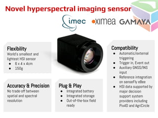
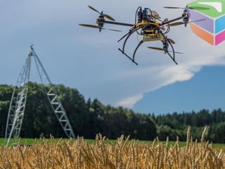
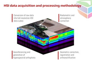
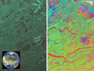
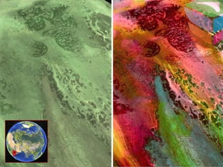
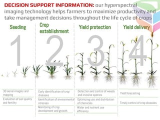
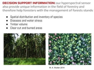
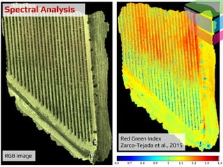
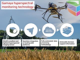


This document summarizes a hyperspectral camera and its applications for precision agriculture. It describes the camera as the world's smallest and lightest hyperspectral imaging sensor. The camera provides high resolution spectral and spatial data to help farmers monitor crop health and development, identify issues like diseases or nutrient deficiencies, optimize resource use, and forecast yields. It also helps foresters with tasks like species identification and inventory, detecting diseases or water stress, estimating timber volume, and mapping clear-cut or burned areas. The document outlines the camera's data acquisition and processing methodology, as well as examples of vegetation indices and applications for precision agriculture and forestry management.


