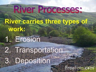
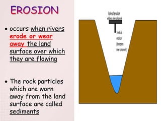
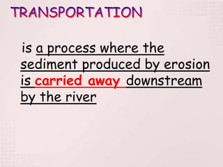
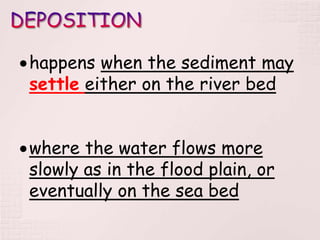
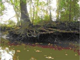
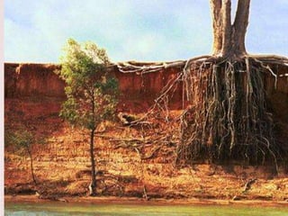
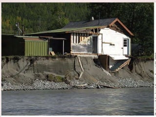
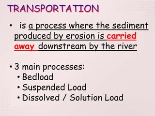
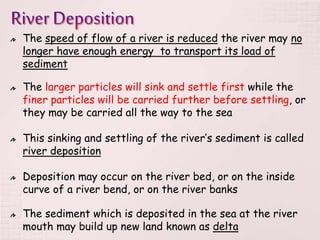
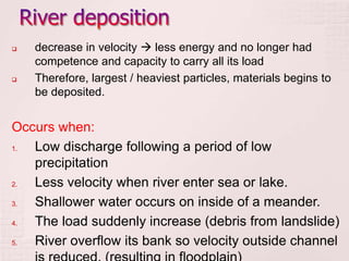
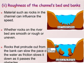
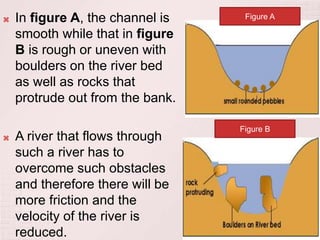
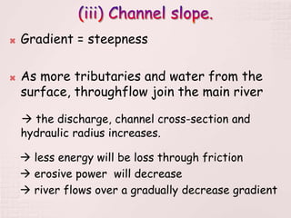
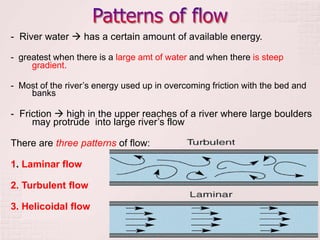
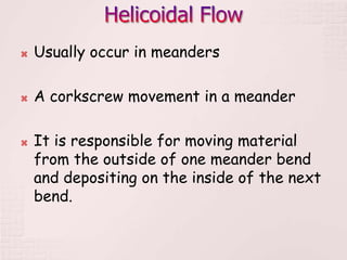
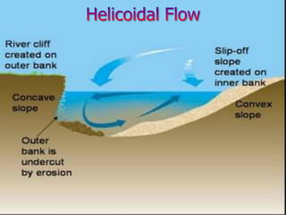
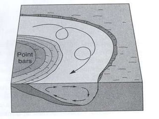
1. Rivers carry out three main processes - erosion, transportation, and deposition. Erosion occurs as rivers wear away land, transportation is the movement of eroded sediments downstream, and deposition happens when sediments settle out of the river.
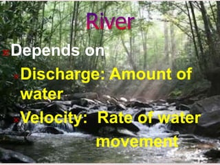
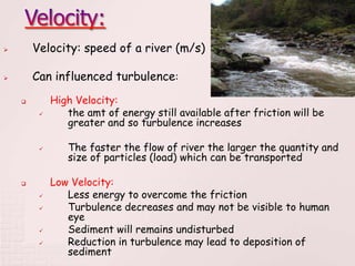
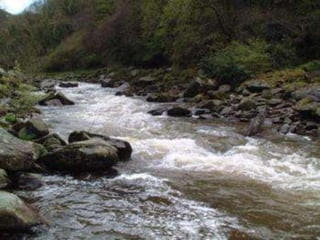
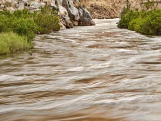
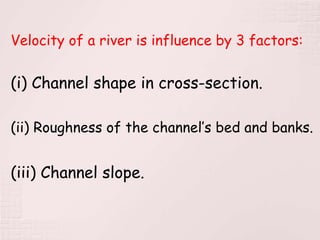
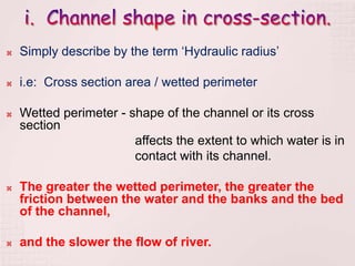
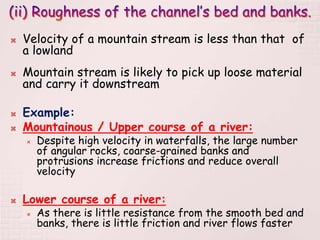
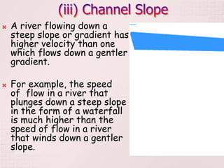
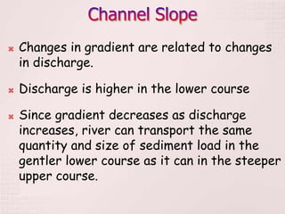
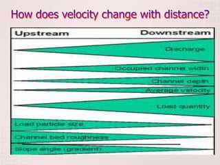
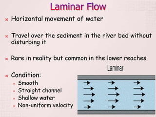
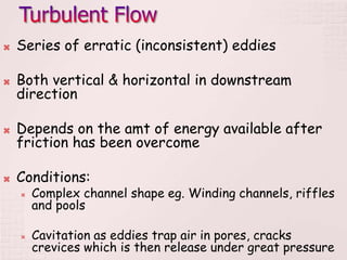
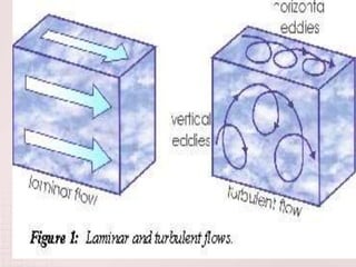
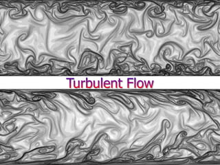
2. The speed of a river's flow is determined by factors like discharge, channel shape, roughness, slope, and gradient. Faster flows lead to turbulent patterns that can transport larger sediments, while slower flows result in deposition of sediments.
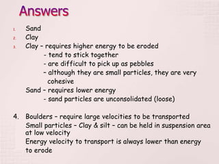
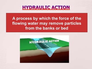
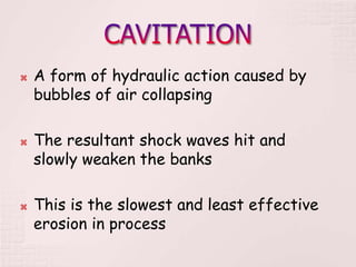
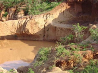
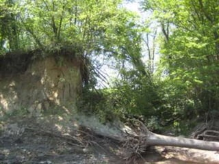
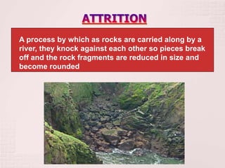
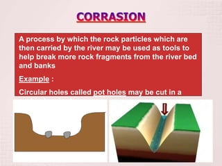
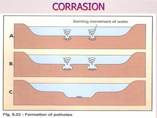
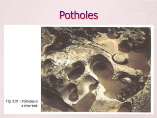
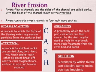
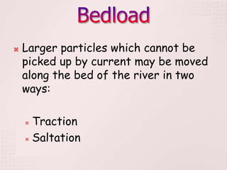
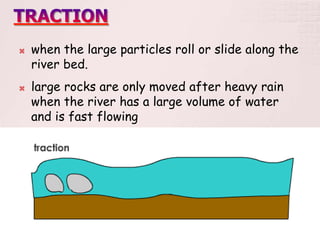
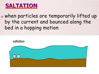
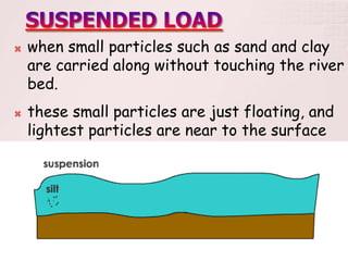
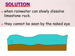
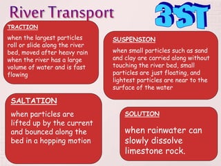
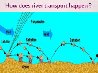
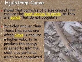
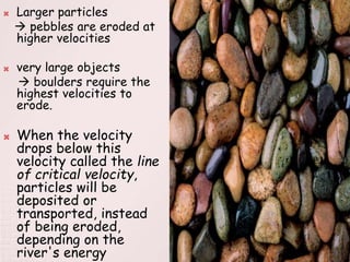
3. Rivers erode their channels through hydraulic action, corrasion, attrition, and solution. Sediments are transported in different ways depending on their size - through traction, saltation, or suspension. When flow speeds decrease,


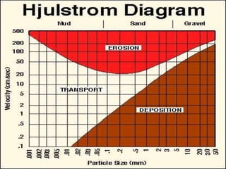
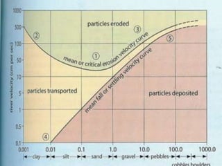

![1. Name the type of sediment that requires the lowest
velocity to be eroded. [1]
2. Name the type of sediment that is likely to be
transported at all velocities. [1]
3. Describe and explain the relationship between
water velocity and the erosion of clay
and sand particles. [4]
4. Explain the variation in water velocity that is
required to transport and to deposit
sediments of different particle diameter. [4]](https://image.slidesharecdn.com/riverchannelprocesses-120201061014-phpapp02/85/River-channel-processes-66-320.jpg)