
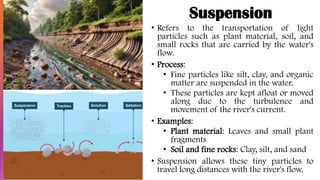
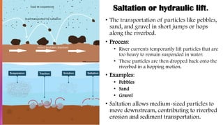
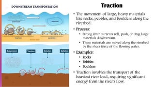
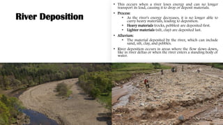

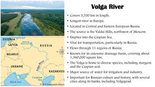
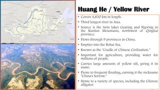
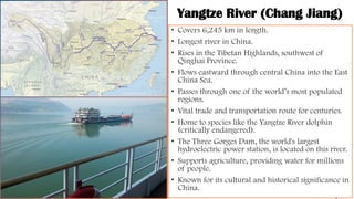
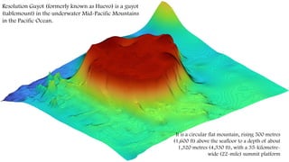
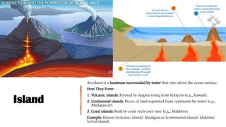
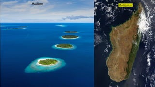
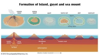
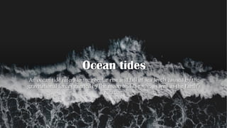
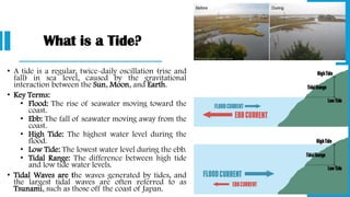
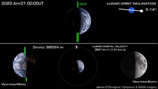
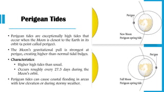
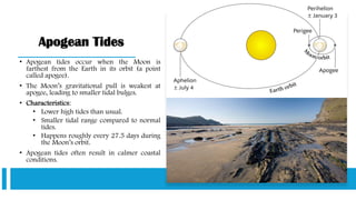
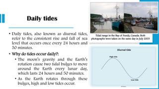
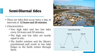
![Comparison of low tide and high tide at Chausey archipelago
[Wiki] (Saint Malo, France); tidal range of over 14 meters.](https://image.slidesharecdn.com/unit9globaldrainagesystems-250411105602-43ad1df3/85/Rivers-Lakes-and-Oceans-A-Comprehensive-Geographic-Study-297-320.jpg)


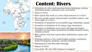
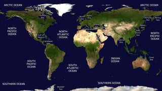
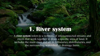
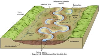
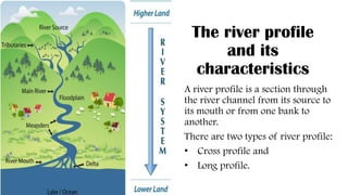
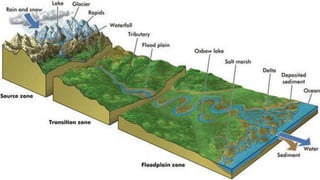
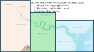
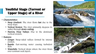
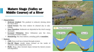
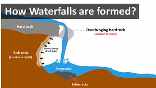
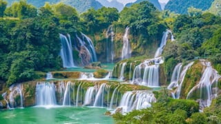
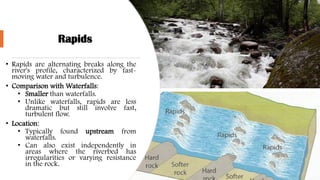
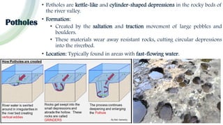
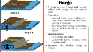
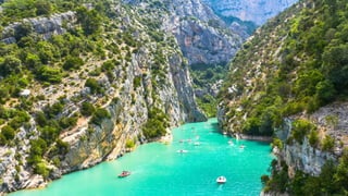
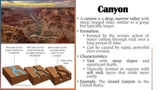
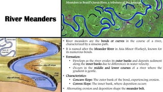
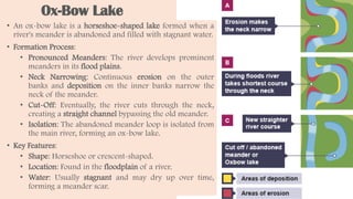
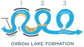
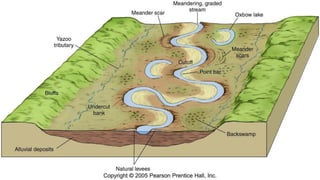
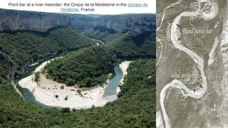
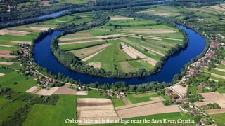
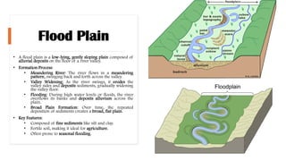
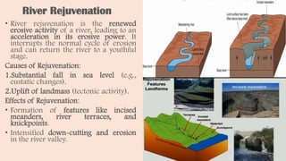
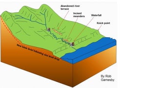
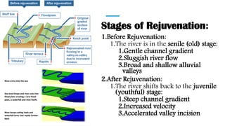
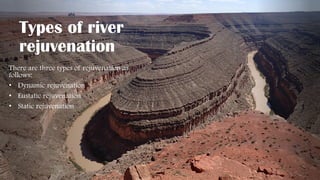
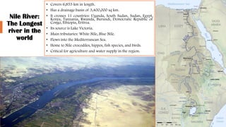
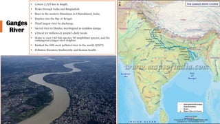
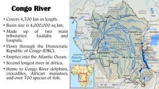
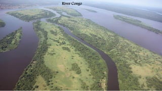
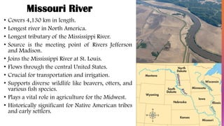
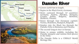
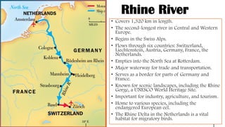
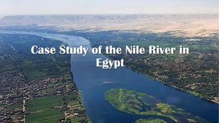
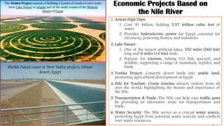
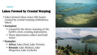
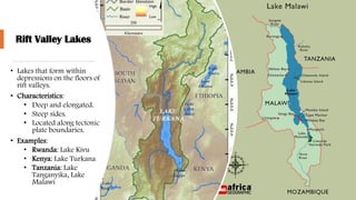
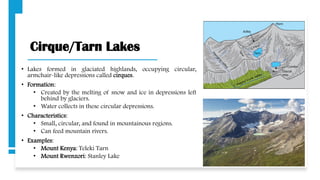
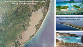
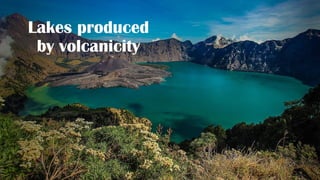
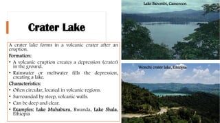
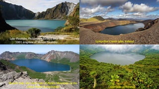
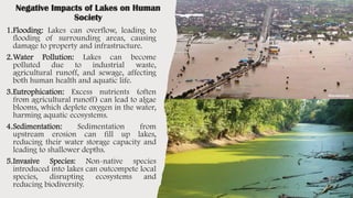
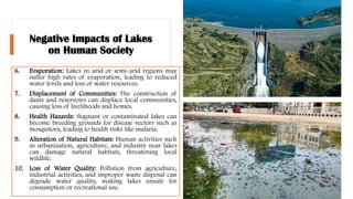
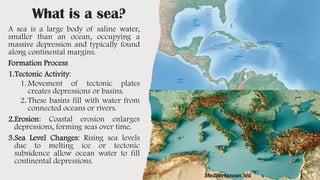
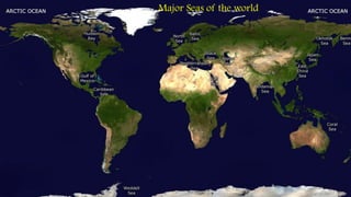
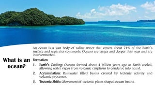
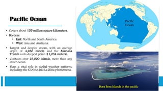
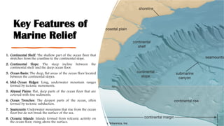
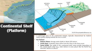
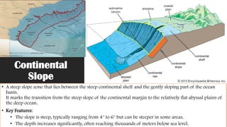
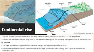
This presentation provides a comprehensive overview of the hydrosphere, focusing on rivers, lakes, seas, and oceans. It begins by exploring the definition and key terms related to rivers, types of rivers, river systems, and their profiles. It examines the formation of various landforms during different stages of a river’s life — from waterfalls and rapids to meanders, ox-bow lakes, and deltas. Concepts like river capture, rejuvenation, and global drainage patterns are also explained. The section on lakes covers their types, modes of formation, and impacts on human and natural systems. Finally, the presentation addresses the global distribution and importance of seas and oceans, marine relief, ocean currents, tides, and the need for protection of water bodies. Case studies such as the River Nile, the Amazon, the Ganges, and the Great Barrier Reef are included to enrich understanding with real-world examples.


