Downloaded 88 times

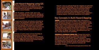
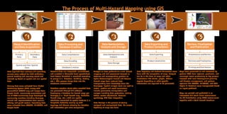
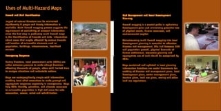
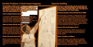
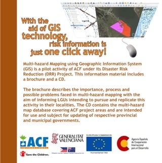

The document describes a community-based disaster risk reduction project in the Bicol Region of the Philippines that conducted multi-hazard mapping using geographic information systems (GIS). The mapping integrated spatial data on hazards like typhoons, landslides, floods, and earthquakes with local community knowledge to produce hazard maps for pilot communities. Challenges of the mapping process included ensuring accurate and up-to-date base maps, accounting for changes over time, building local capacity, and providing necessary hardware and software. The maps aimed to support emergency response, risk management, and local development planning by identifying hazards, vulnerabilities, and priority risk areas.


