Downloaded 2,462 times
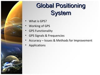
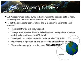
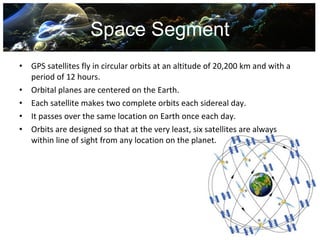


The document provides an overview of the Global Positioning System (GPS). It describes how GPS works using trilateration based on signal timing from multiple satellites. It discusses the space, control, and user segments. It also covers GPS signals, frequencies, accuracy issues, and methods to improve accuracy such as augmentation systems. Applications of GPS are outlined for civilian, military, and other uses.


!["GPS" Global Positioning System [PDF]](https://cdn.slidesharecdn.com/ss_thumbnails/globalpositioningsystemgpsmainpdf-101105164539-phpapp01-thumbnail.jpg?width=640&height=640&fit=bounds)


![GPS[Global Positioning System]](https://cdn.slidesharecdn.com/ss_thumbnails/globalpositioningsystem-130707095218-phpapp02-thumbnail.jpg?width=640&height=640&fit=bounds)


