Download to read offline
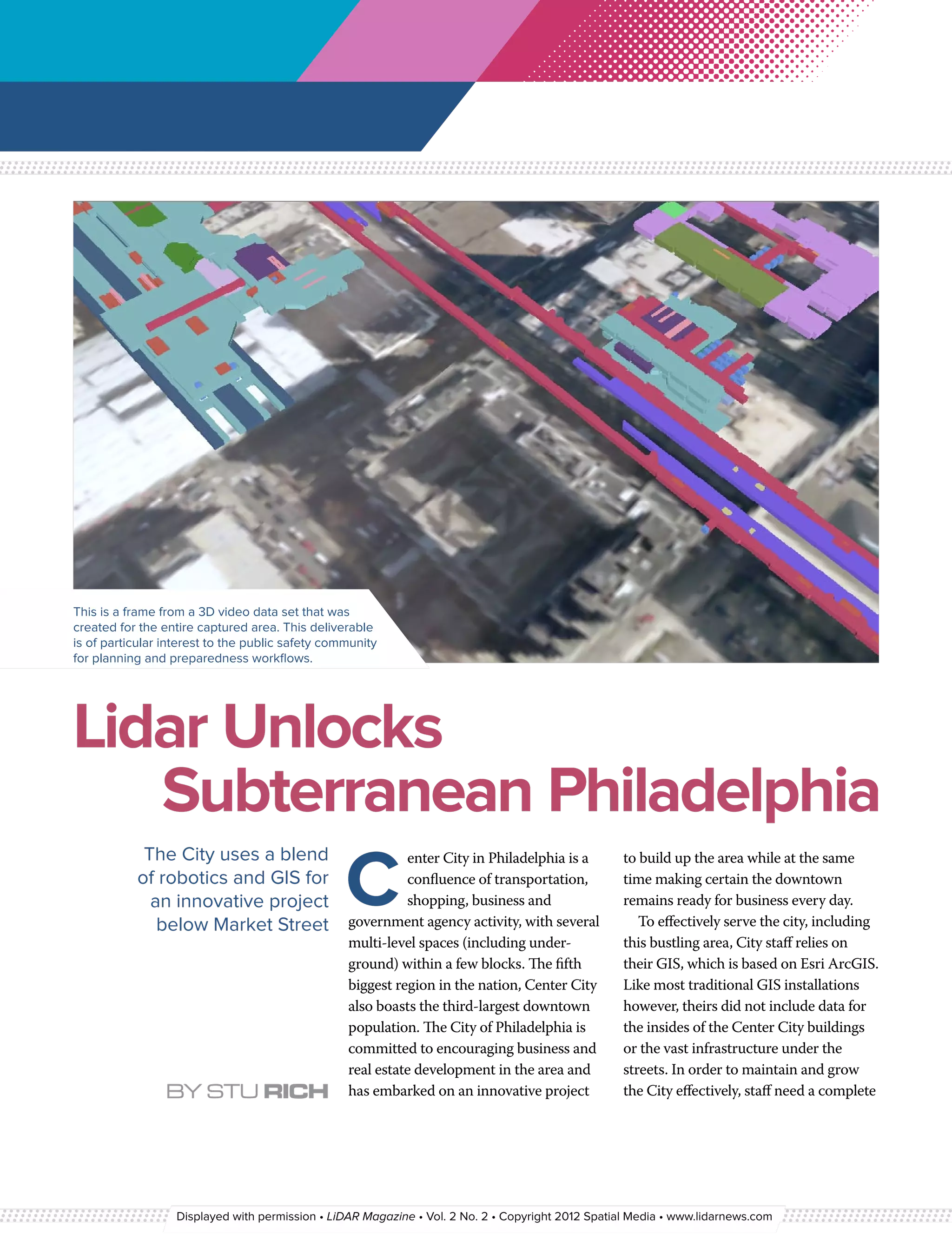
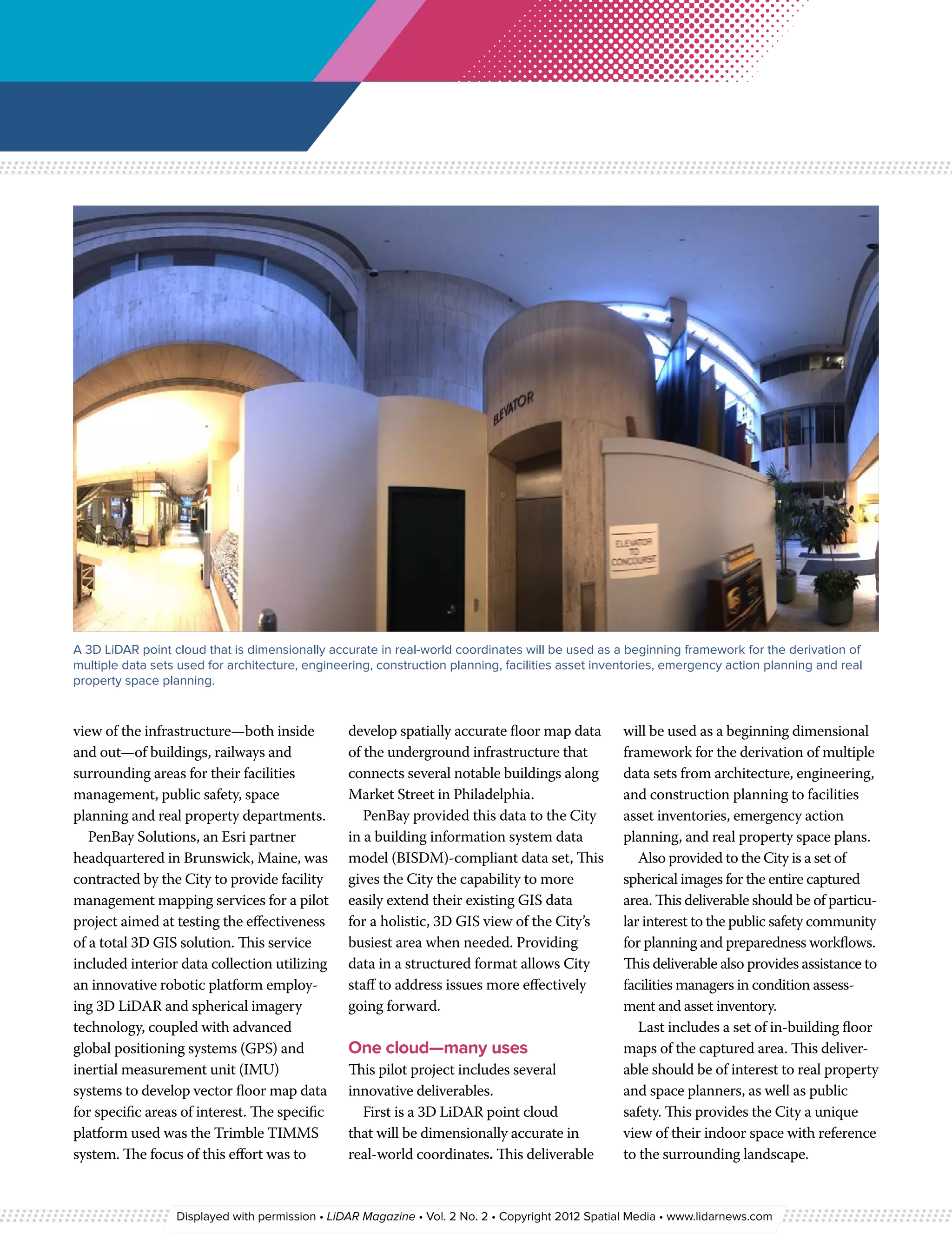
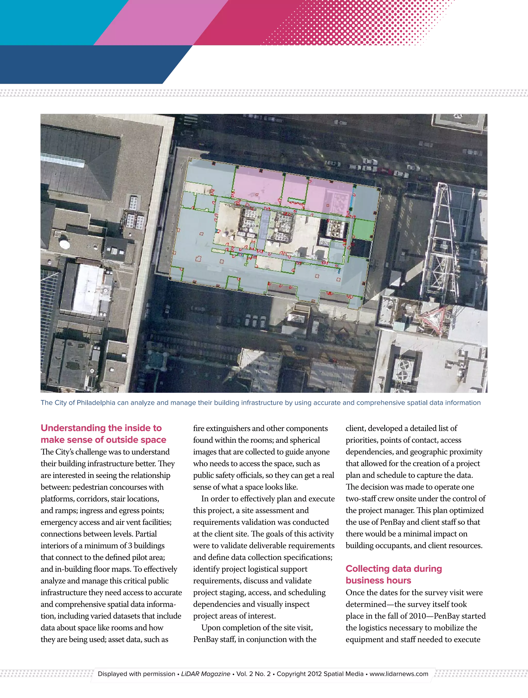


The document discusses a 3D video data set created for public safety planning in Philadelphia, utilizing lidar technology to map subsurface infrastructure and building interiors accurately. This initiative aims to improve emergency preparedness and facilities management by providing comprehensive spatial data and 3D representations of the city. The project includes various deliverables, such as dimensional floor maps and geodatabase integration, to support decision-making for urban development and safety operations.


