Download as PDF, PPTX


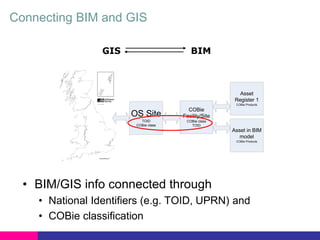
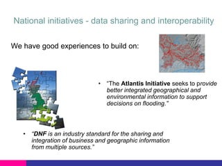
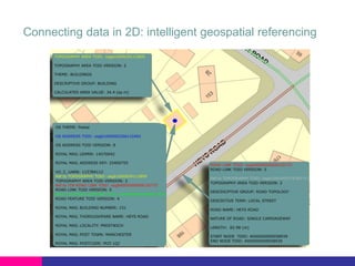
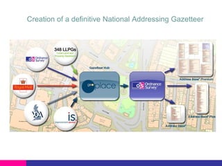
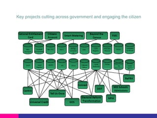
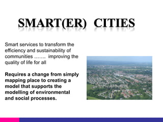

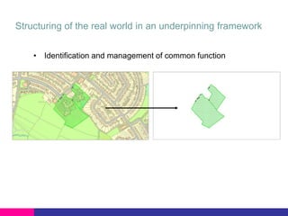
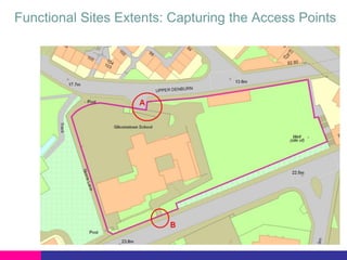
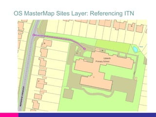
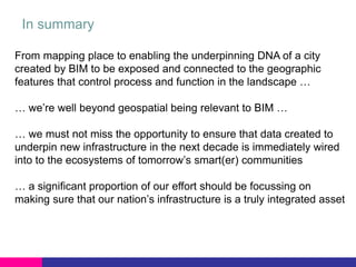


The document discusses the integration of geospatial data with Building Information Modeling (BIM) to enhance infrastructure planning and management in the face of climate change and population growth. It emphasizes the importance of authoritative and consistent data for modeling processes, advocating for a shift from basic mapping to actionable modeling that informs community sustainability and efficiency. The integration aims to leverage spatial analysis for improved decision-making regarding urban development and resource management.


