Download to read offline

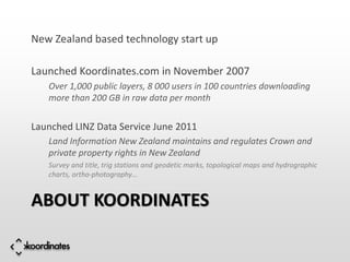

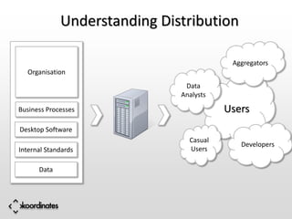

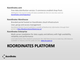


The document discusses Koordinates, a New Zealand-based startup that launched in 2007 to provide a platform for storing, discovering, and distributing geodata online. Koordinates allows over 1,000 public layers and 8,000 users across 100 countries to access over 200 GB of geospatial data monthly. It also manages the New Zealand Land Information data service, making government geospatial data available to the public. Koordinates offers free and commercial tools for organizations and developers to host, share, and access mapped information and datasets.