Download as PDF, PPTX
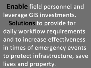
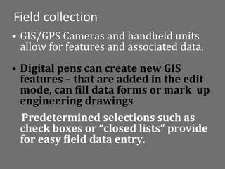
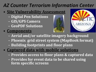
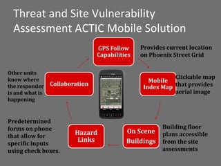
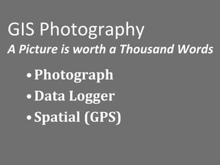
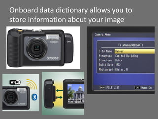
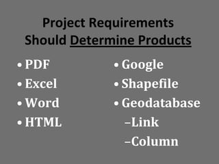
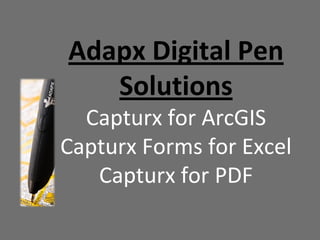
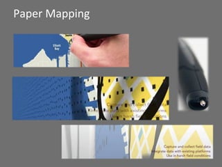
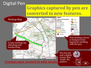
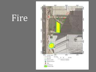
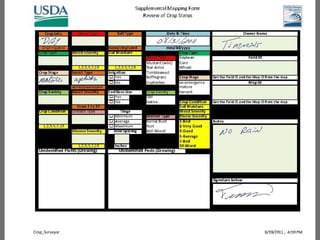
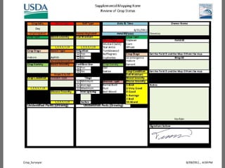
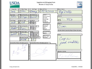
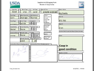
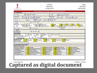
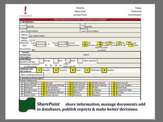
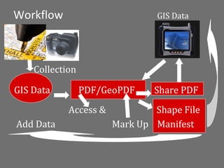

Mobile GIS solutions that are easy to use and inexpensive can enable field personnel to access and input geospatial data, eliminating technology barriers. These solutions allow for field data capture, review capabilities, and interactive comments. They provide intra-agency and inter-agency coordination to support workflow requirements and understanding of roles. Examples include using digital pens and GPS-enabled cameras on Android devices to create and collect geospatial features and forms for vulnerability assessments. The captured data can then be shared to facilitate collaboration and situational awareness.


