Downloaded 11 times
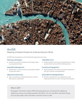
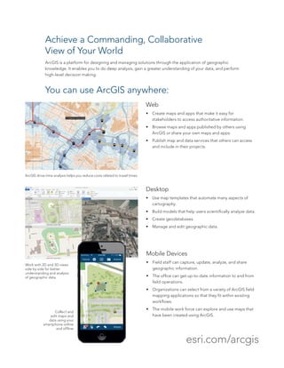
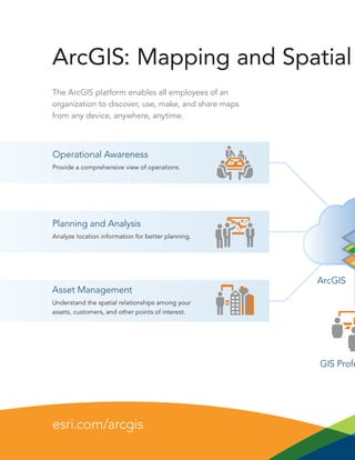
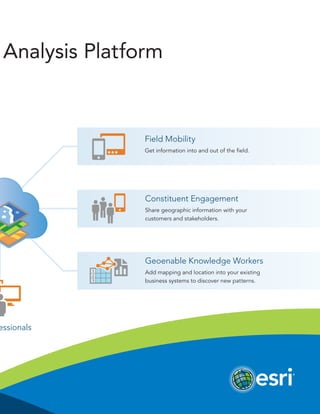
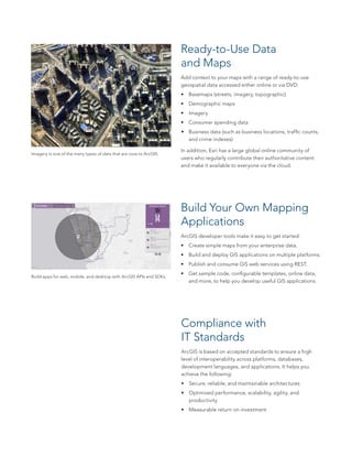


ArcGIS is a geographic information system (GIS) platform that allows users to visualize, analyze, and understand data to reveal relationships, patterns, and trends. The platform can be used on mobile devices, desktops, and the web to create and share maps and apps. It includes tools for planning, data management, field work, and engagement. ArcGIS also provides basemaps, imagery, and other reference data, as well as tools for application development, maintenance support, training, and professional services.


![Getting Started with Apache Spark: Big Data Made Simple [Free Meetup]](https://cdn.slidesharecdn.com/ss_thumbnails/apachesparkgettingstarted-260203175547-8361bcc3-thumbnail.jpg?width=640&height=640&fit=bounds)


