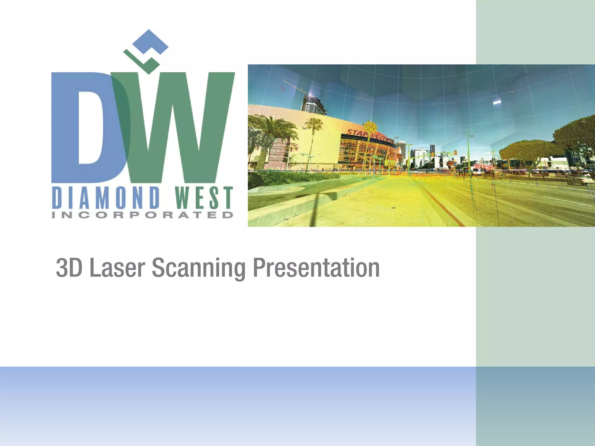
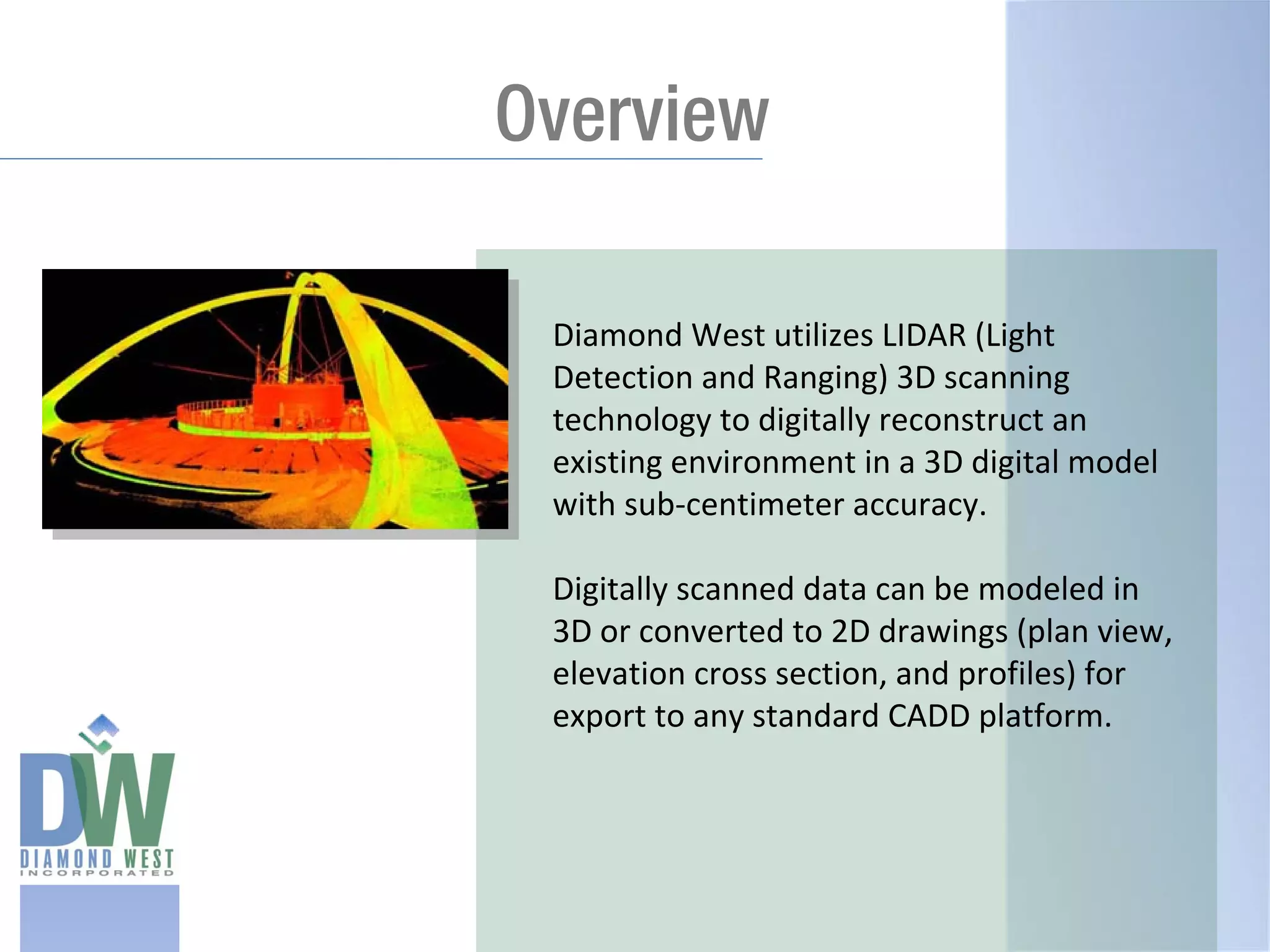
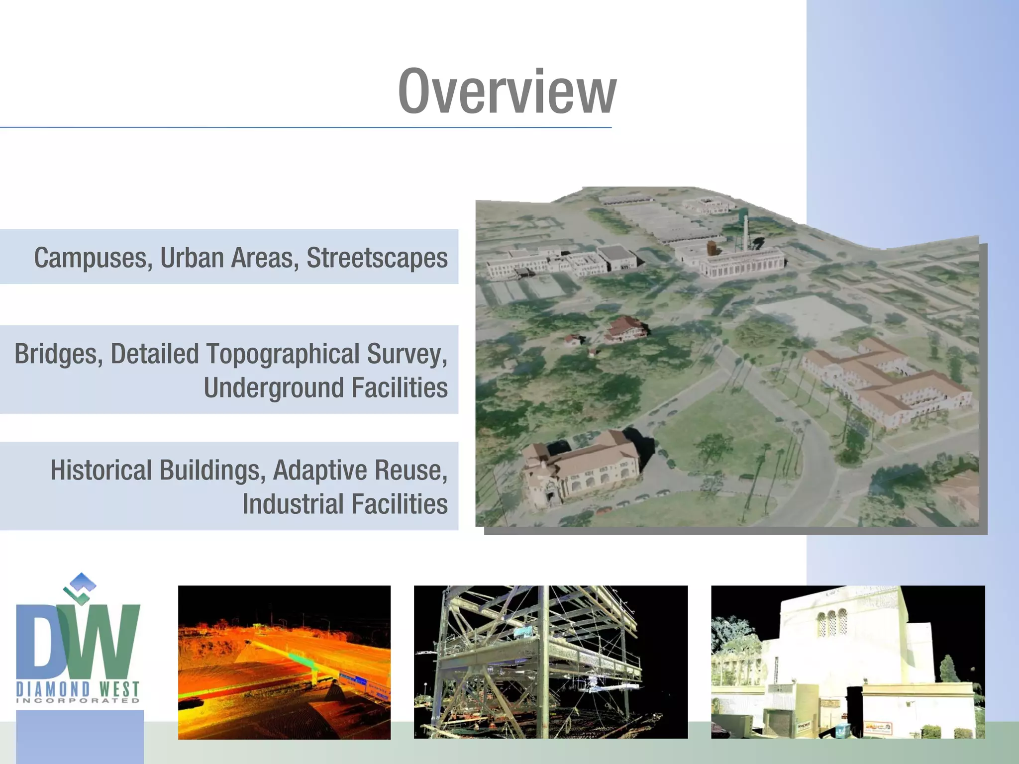
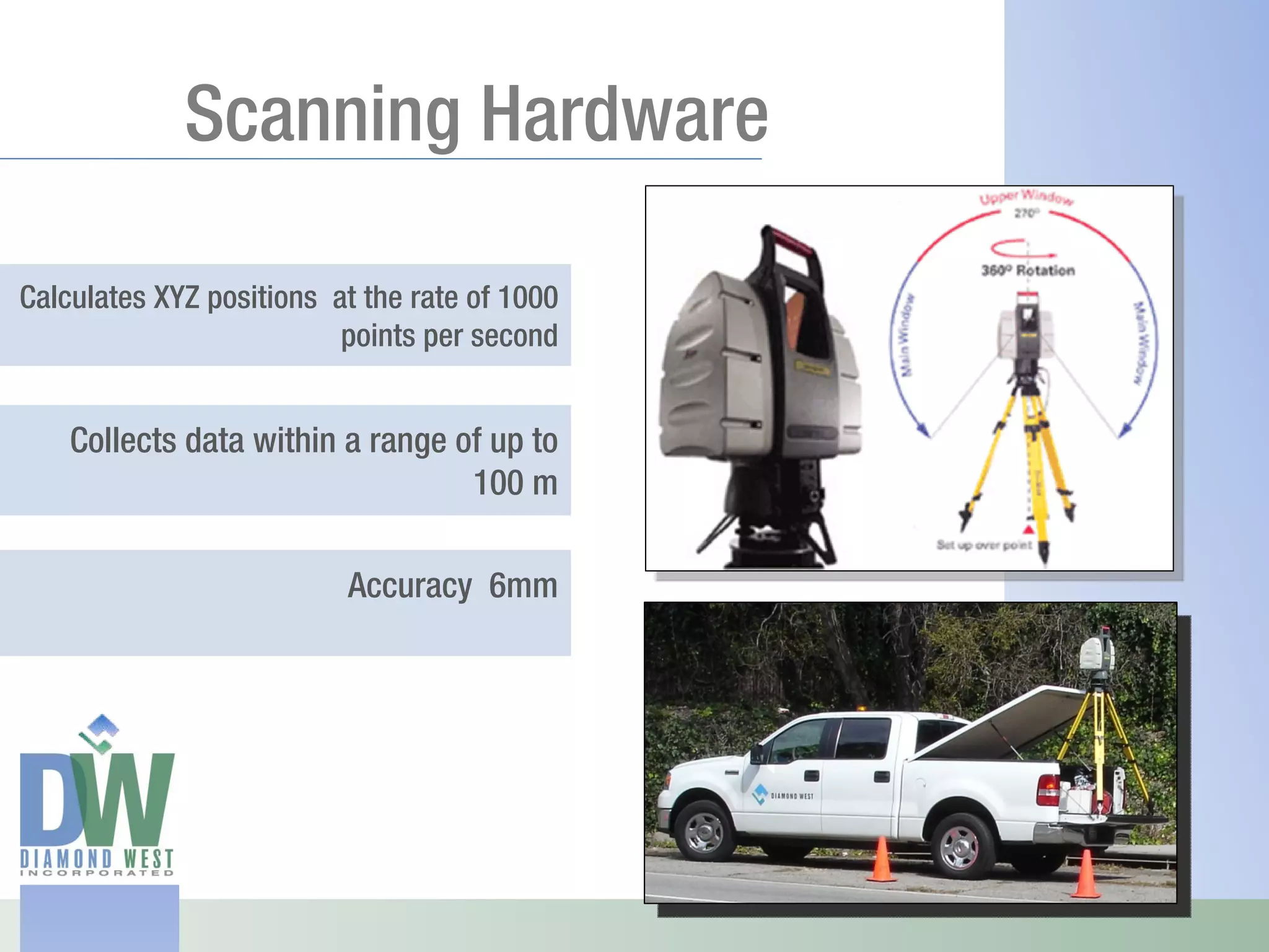
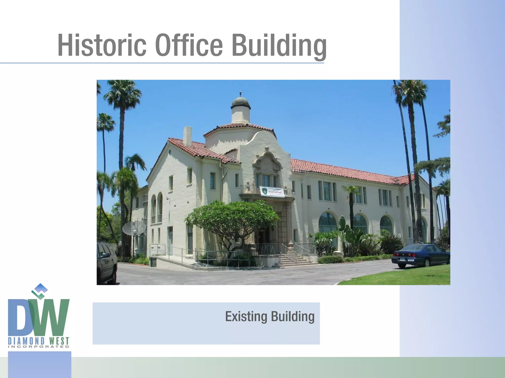
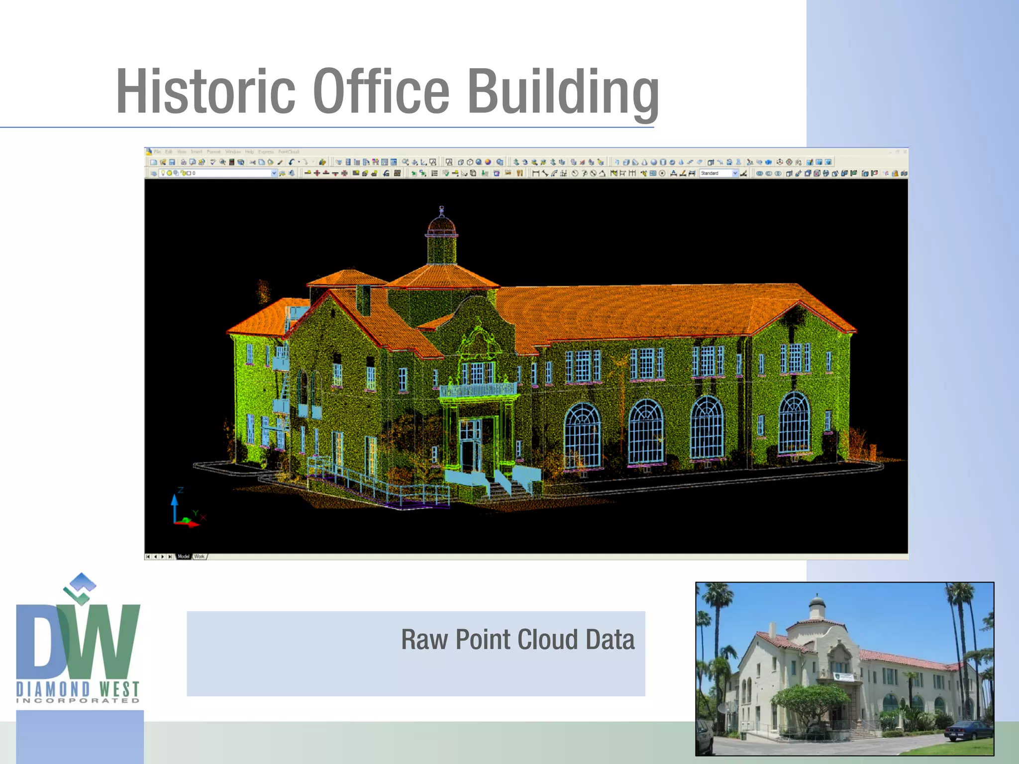
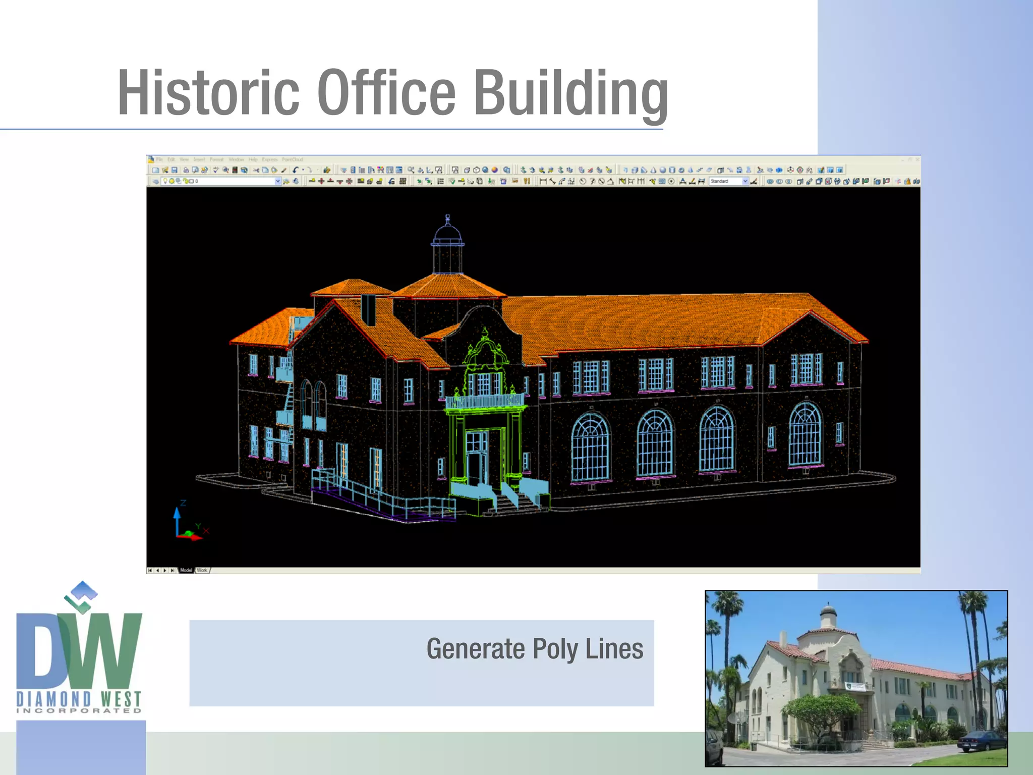
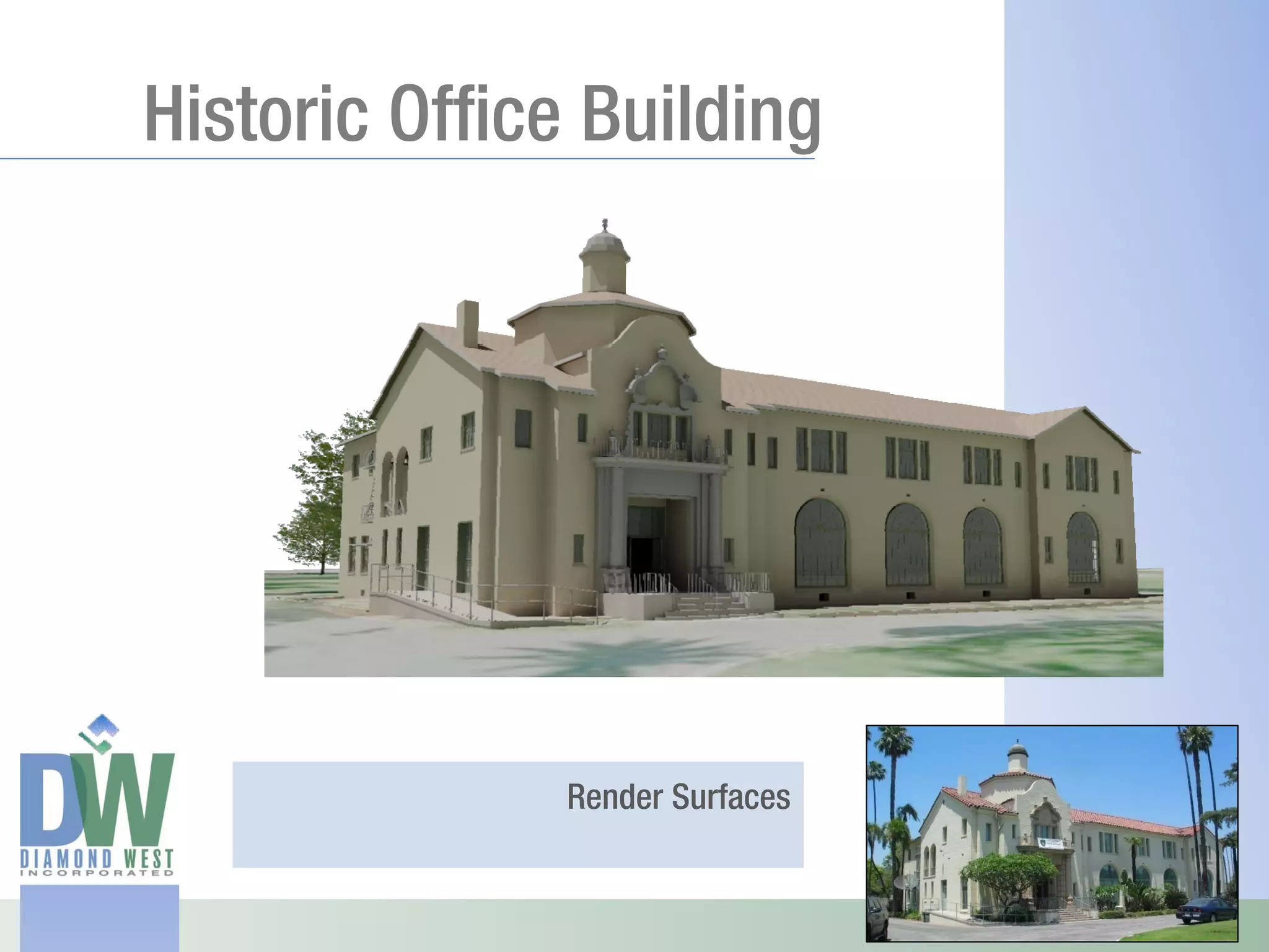
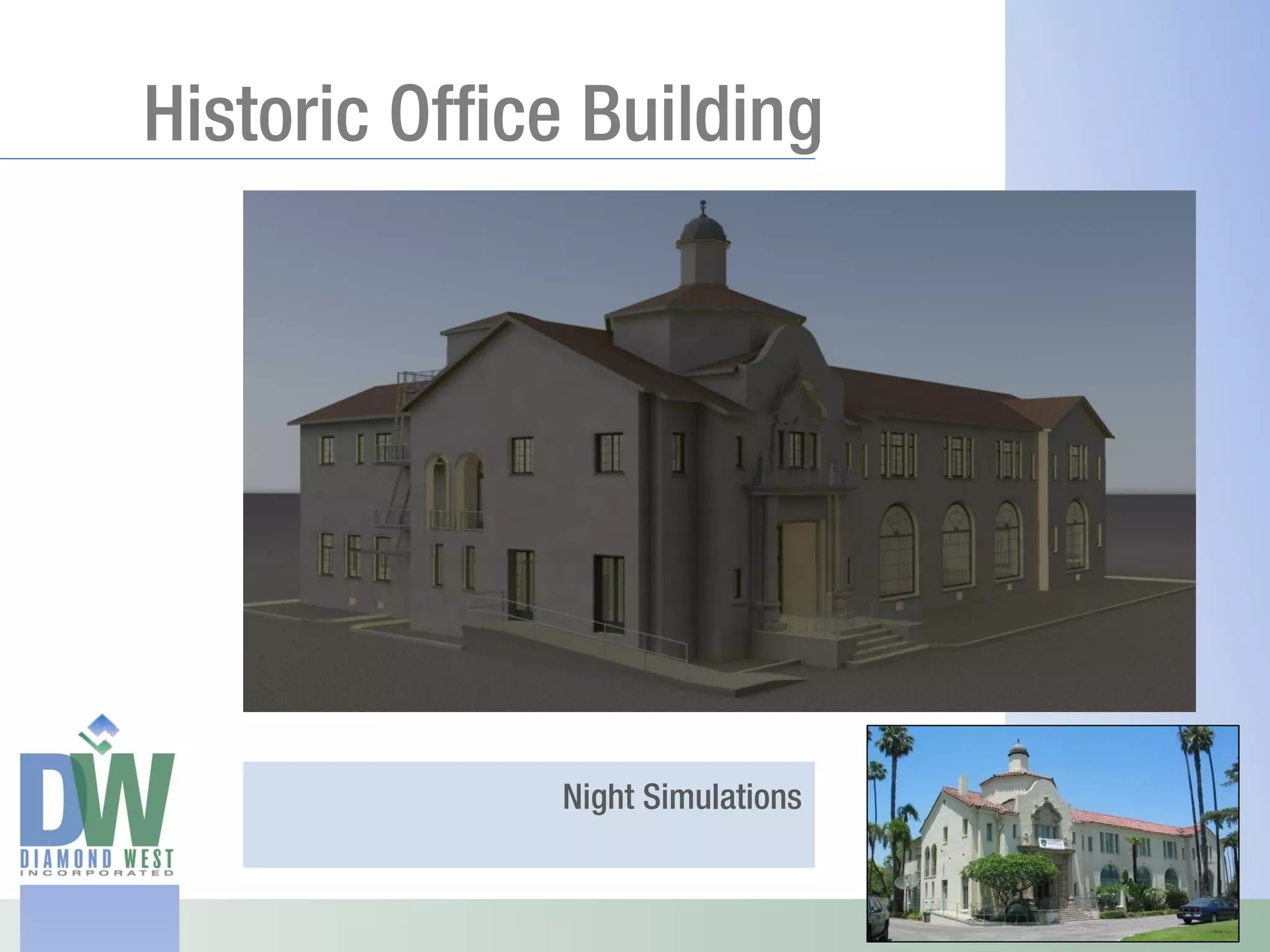
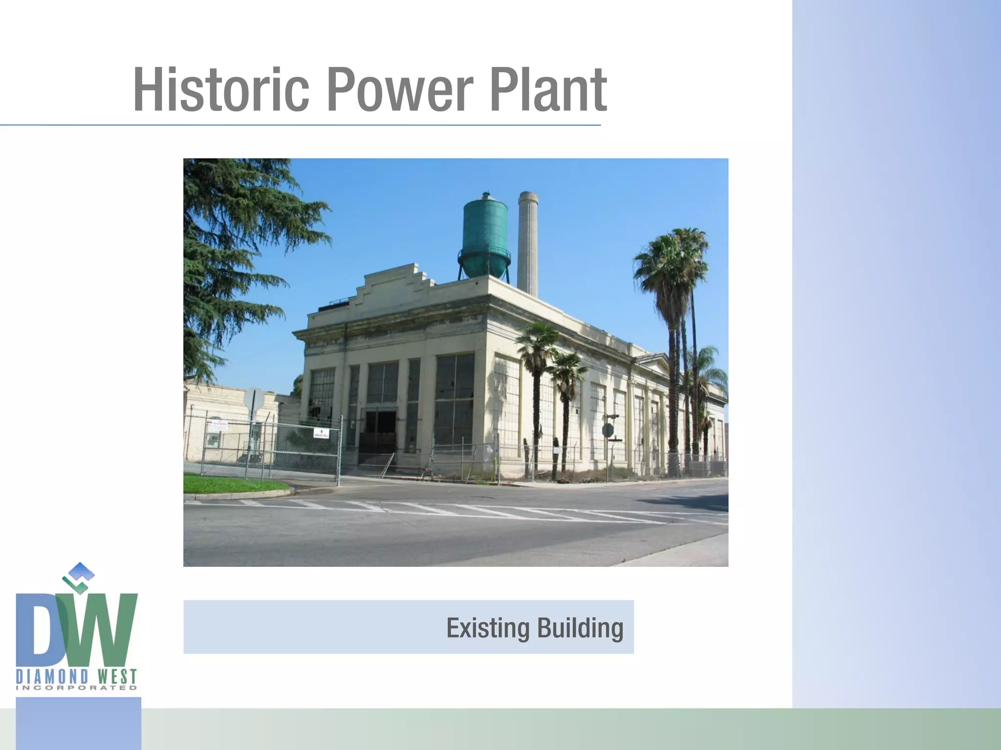
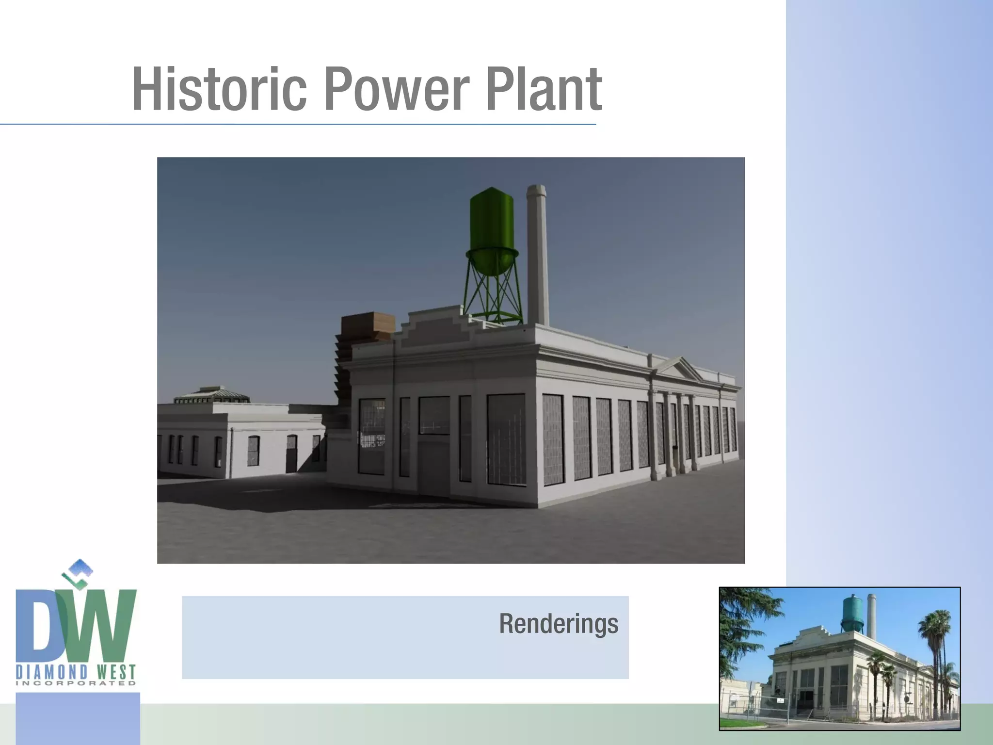
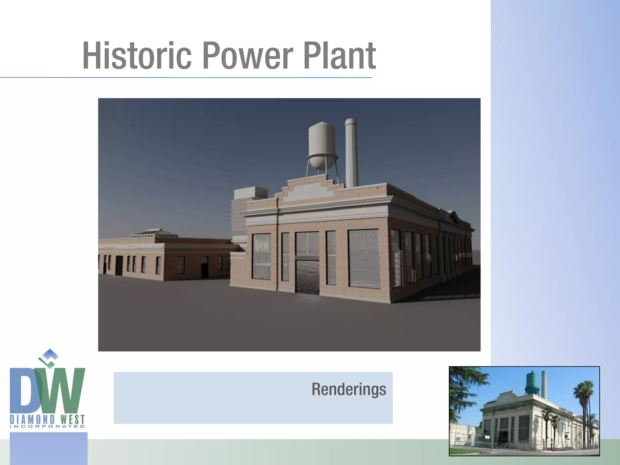
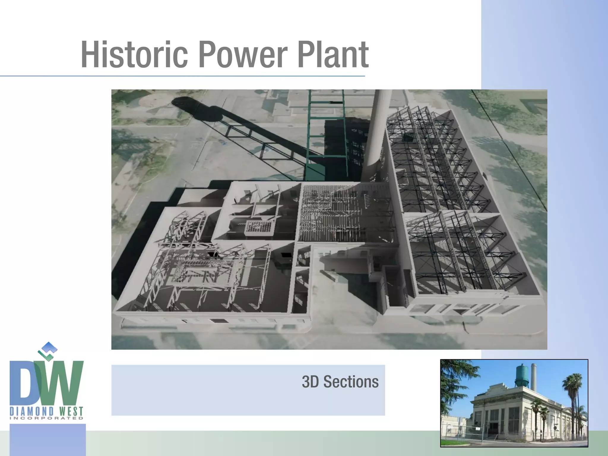
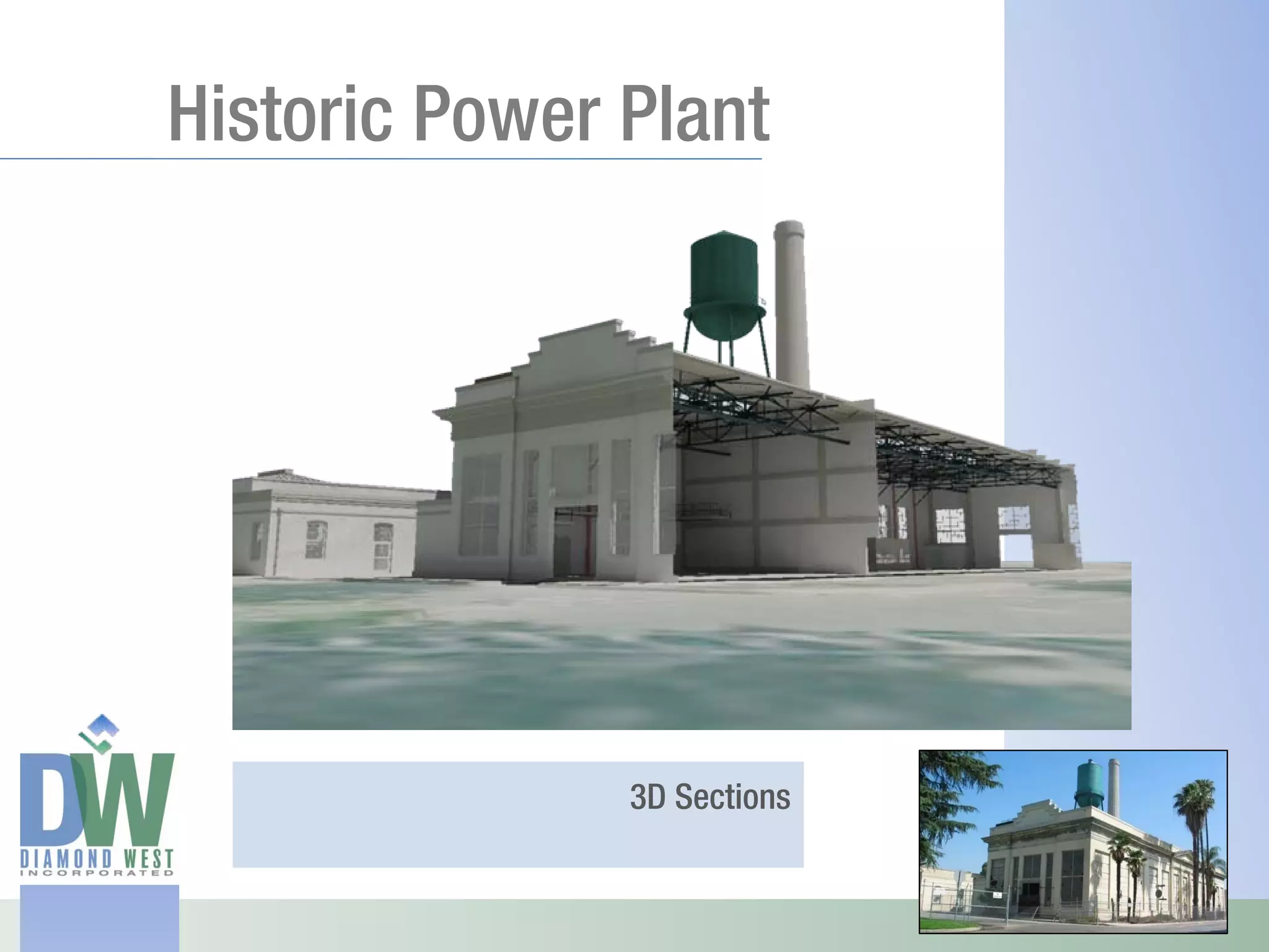
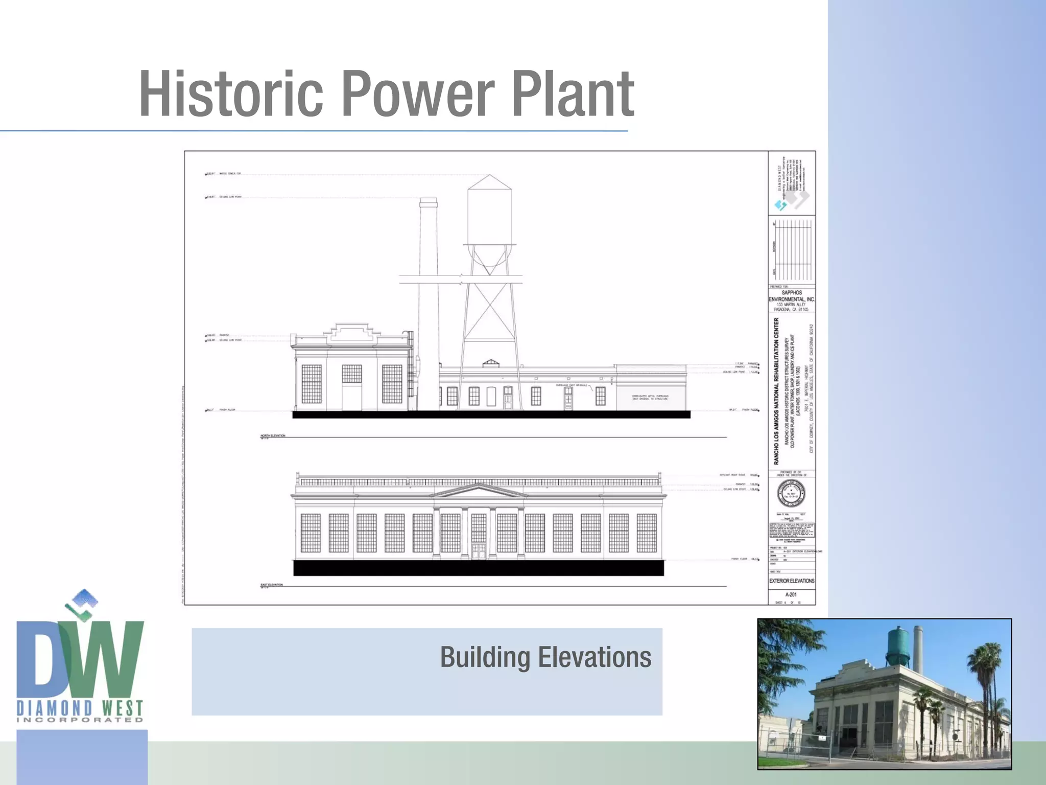
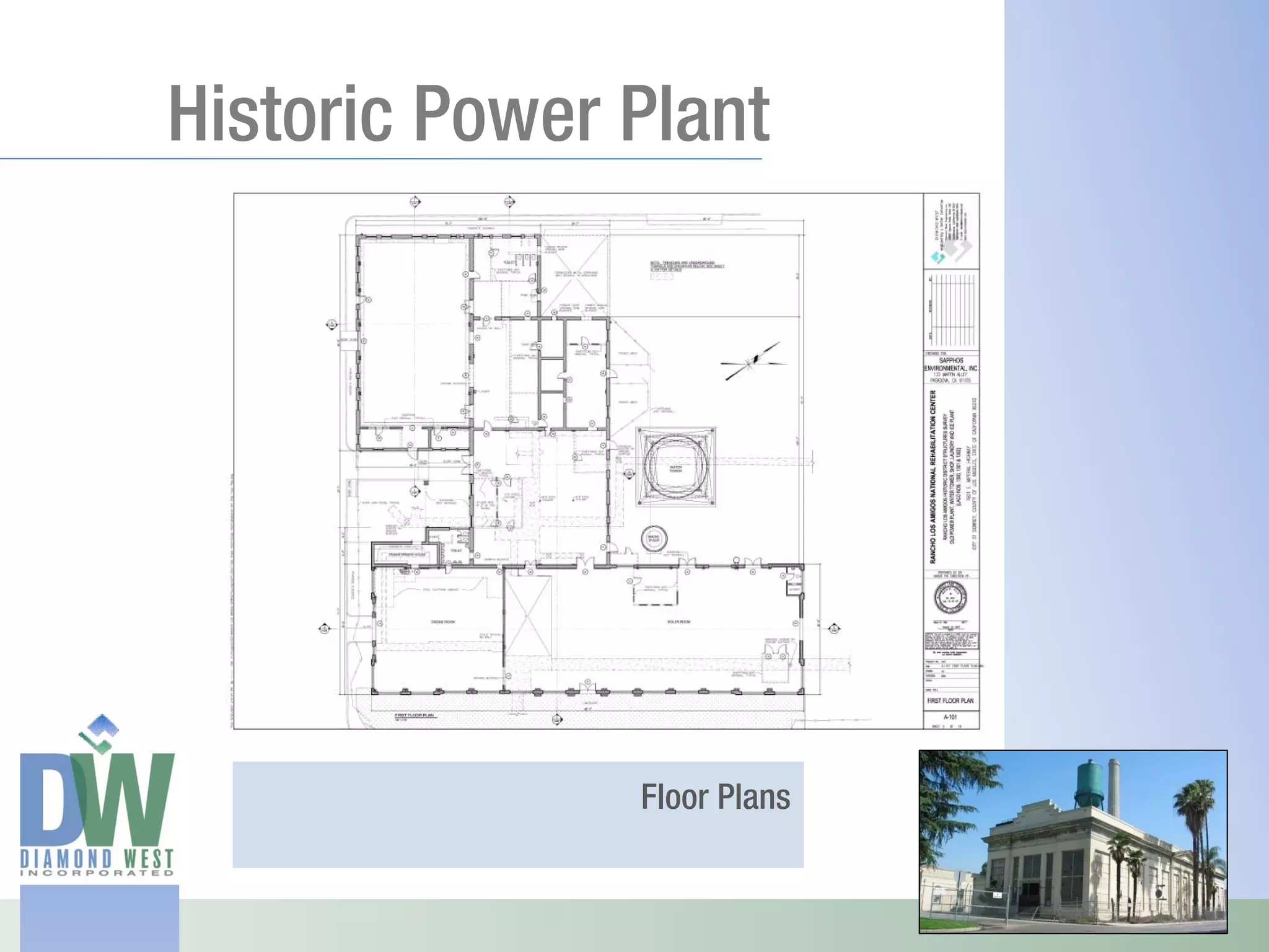
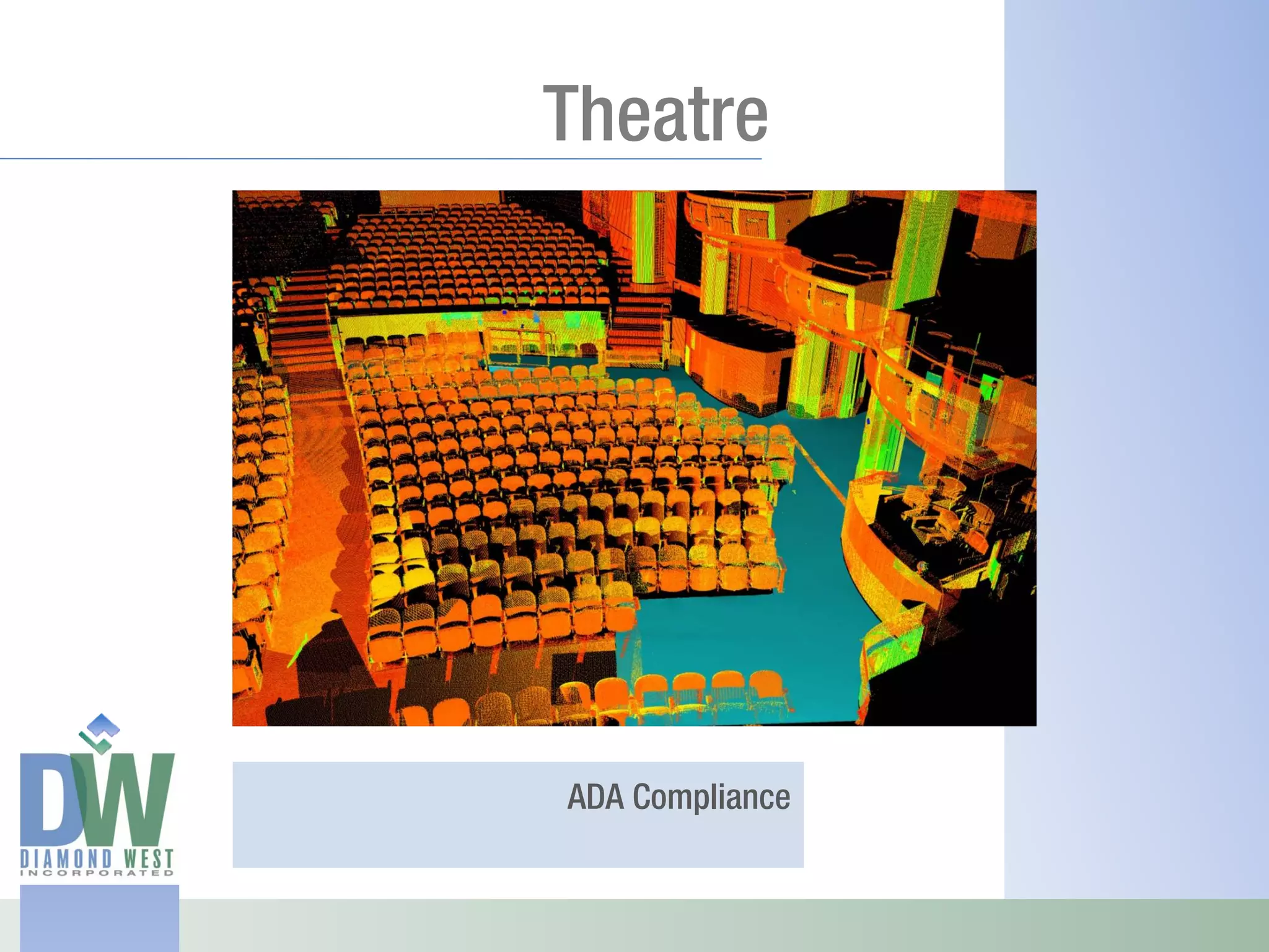
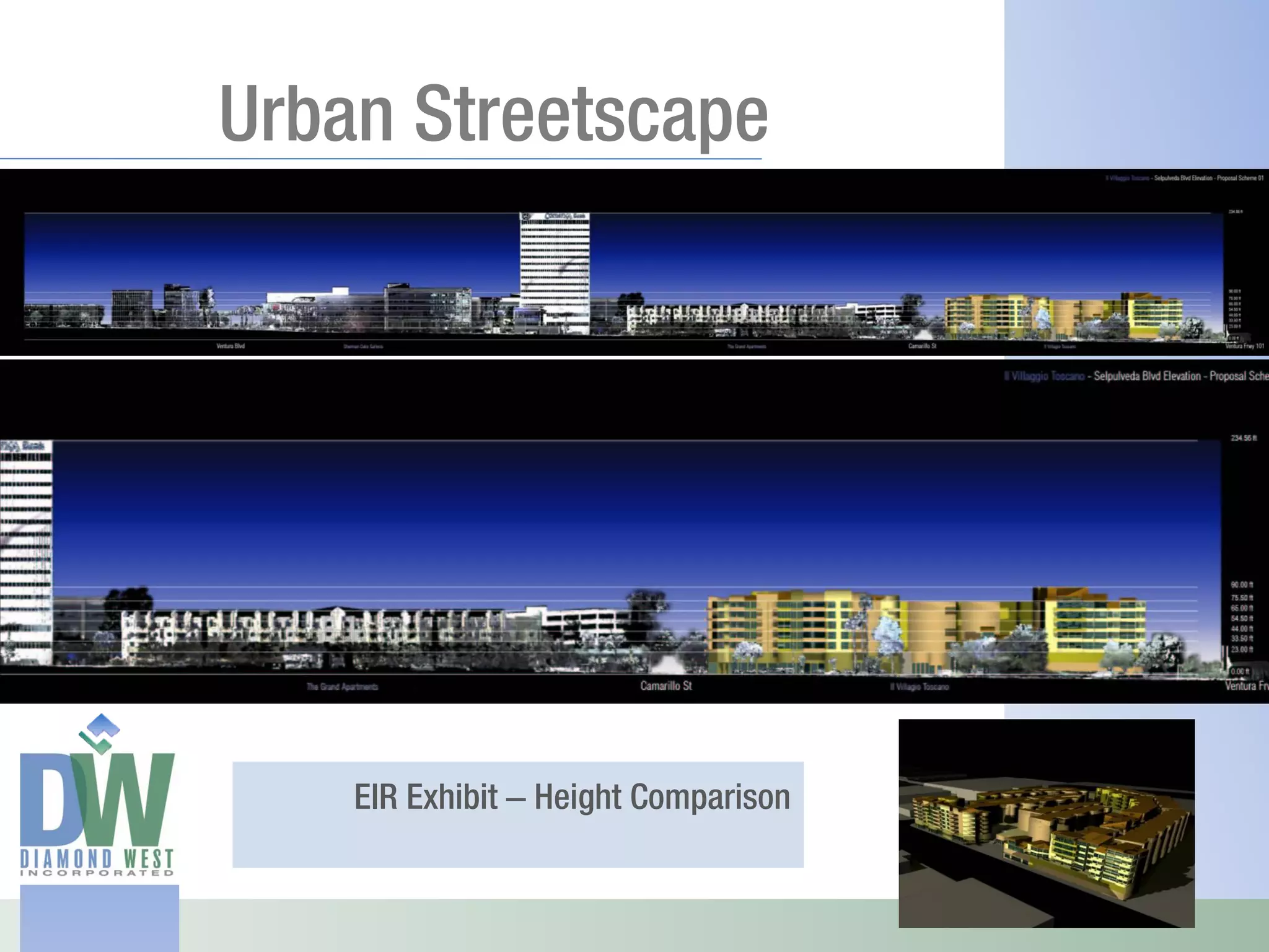
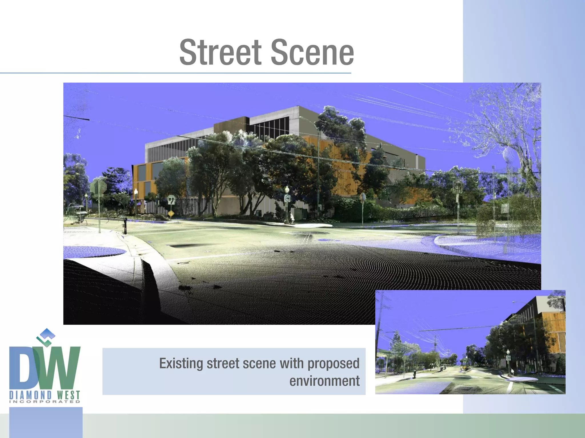
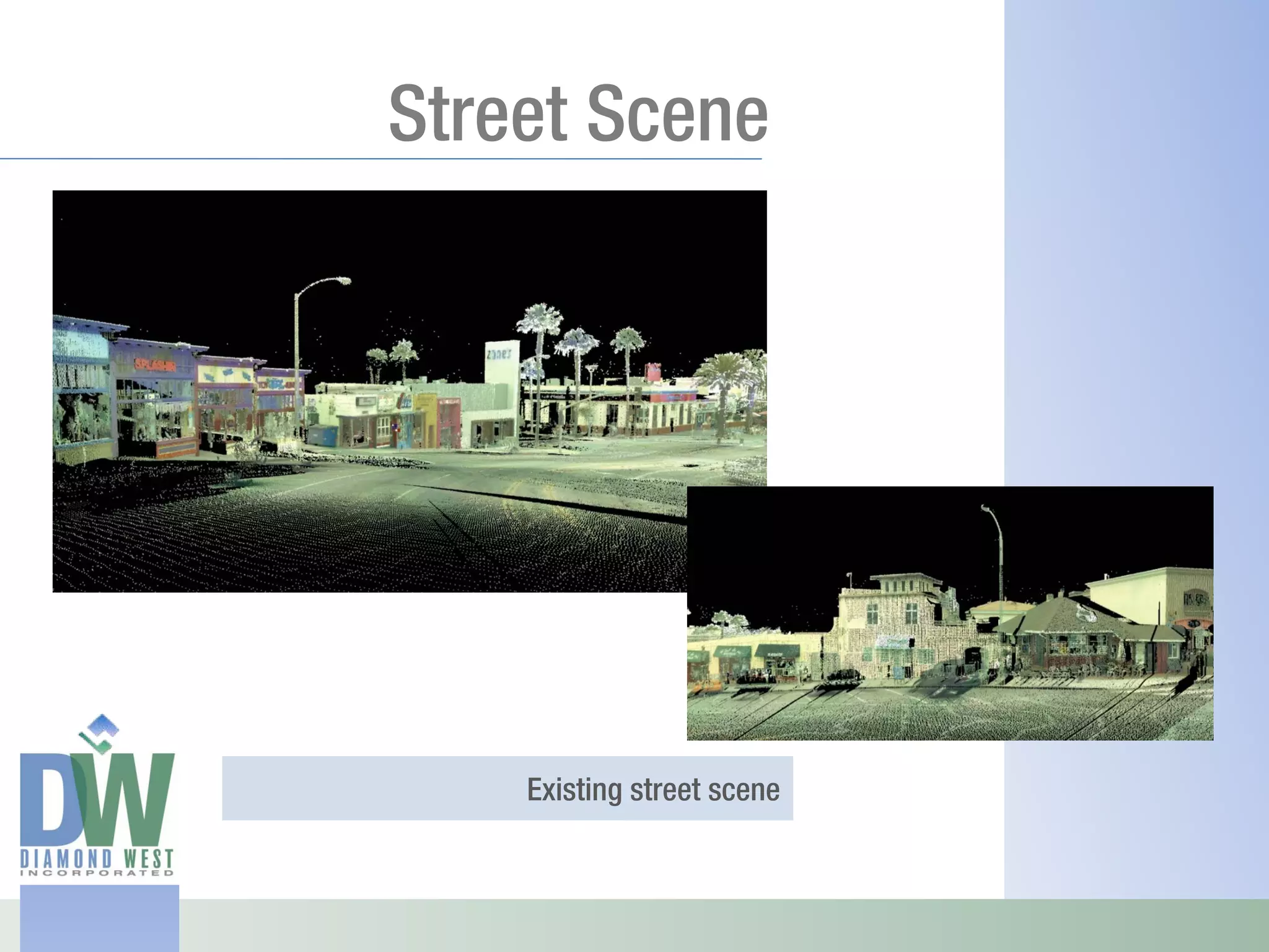
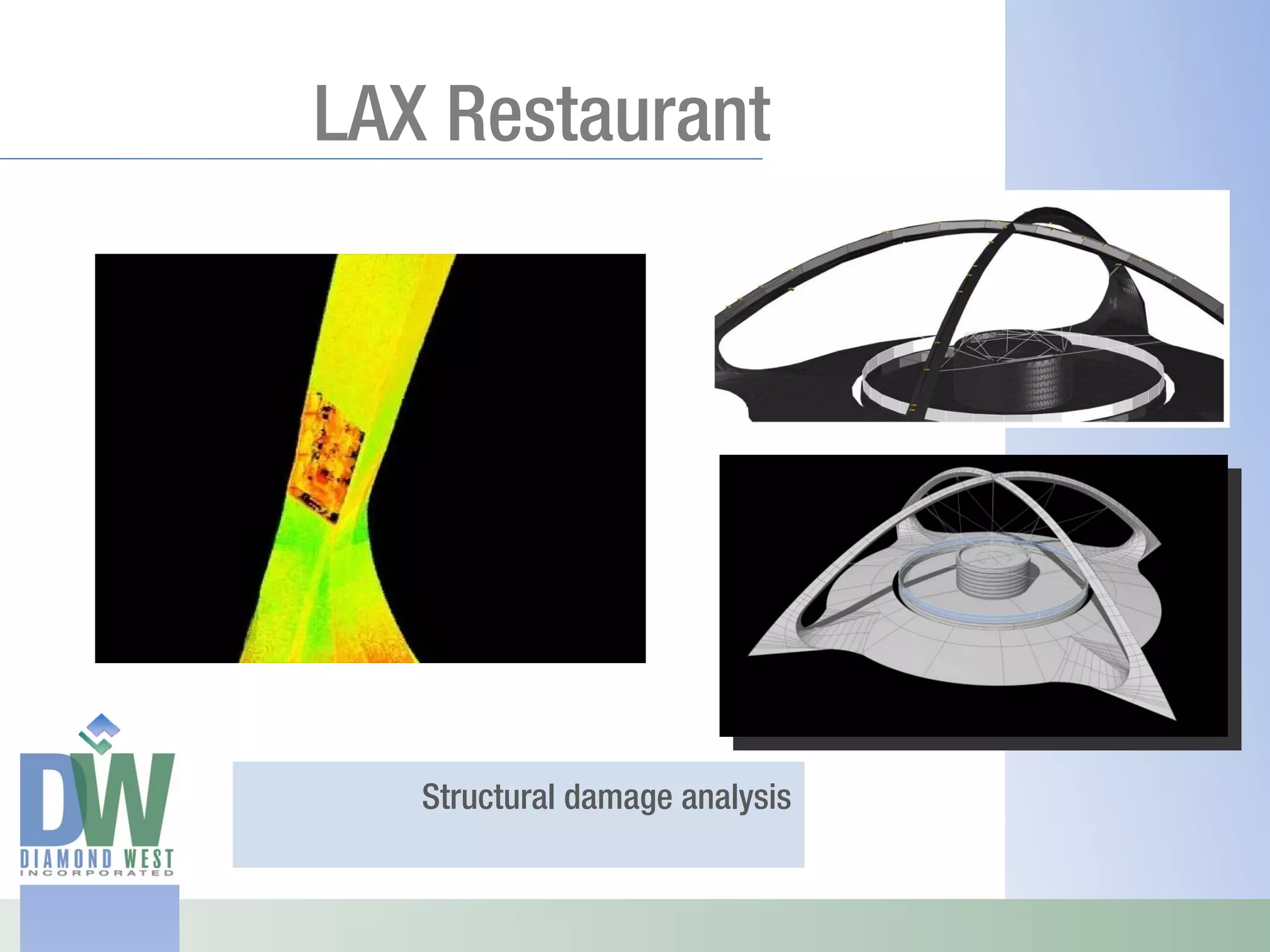
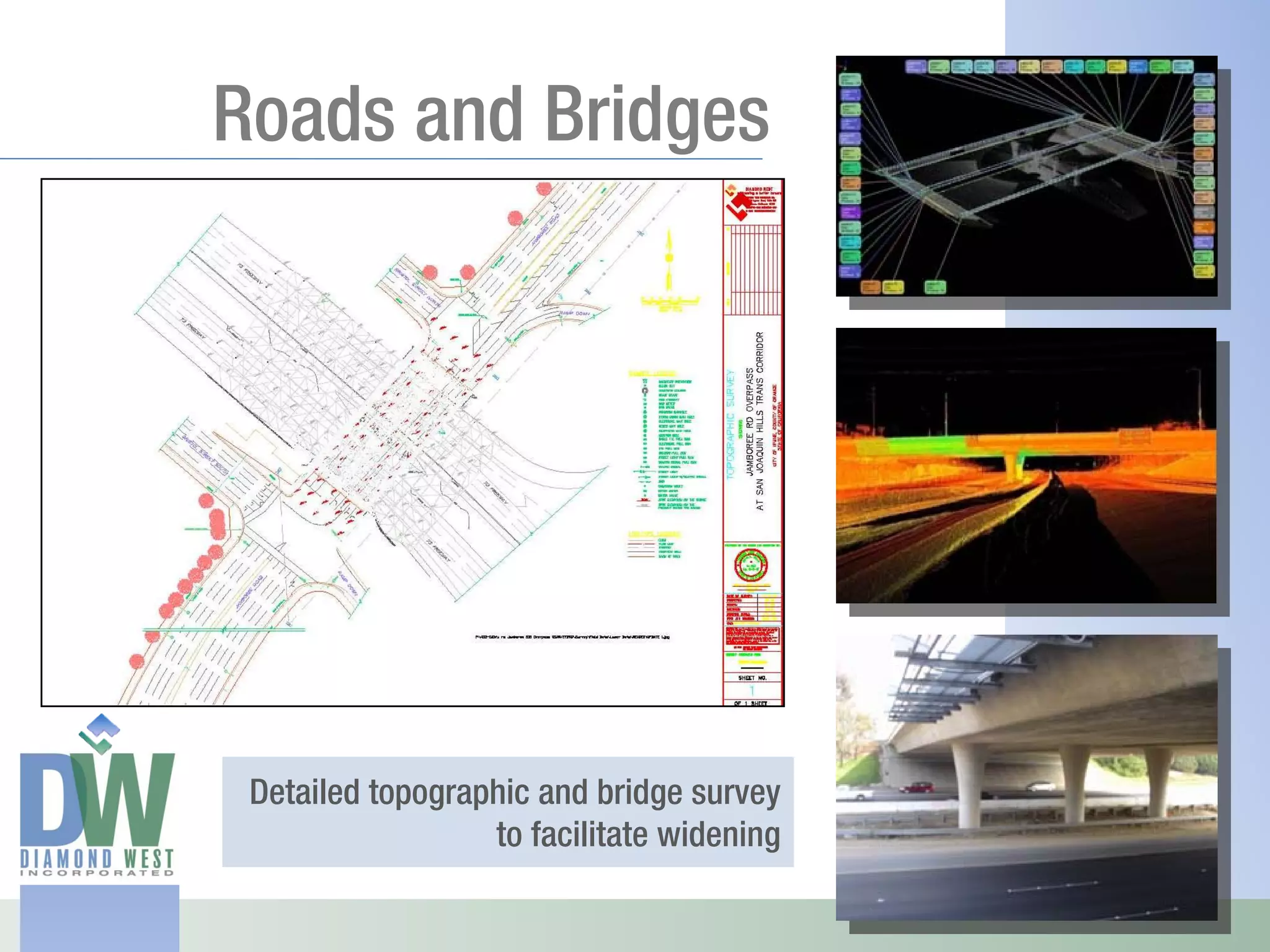
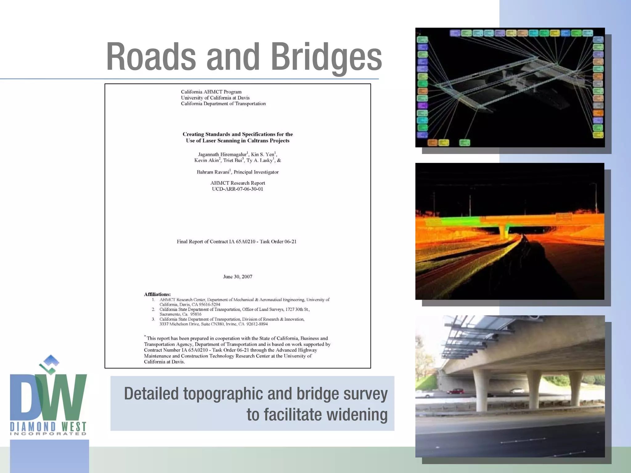
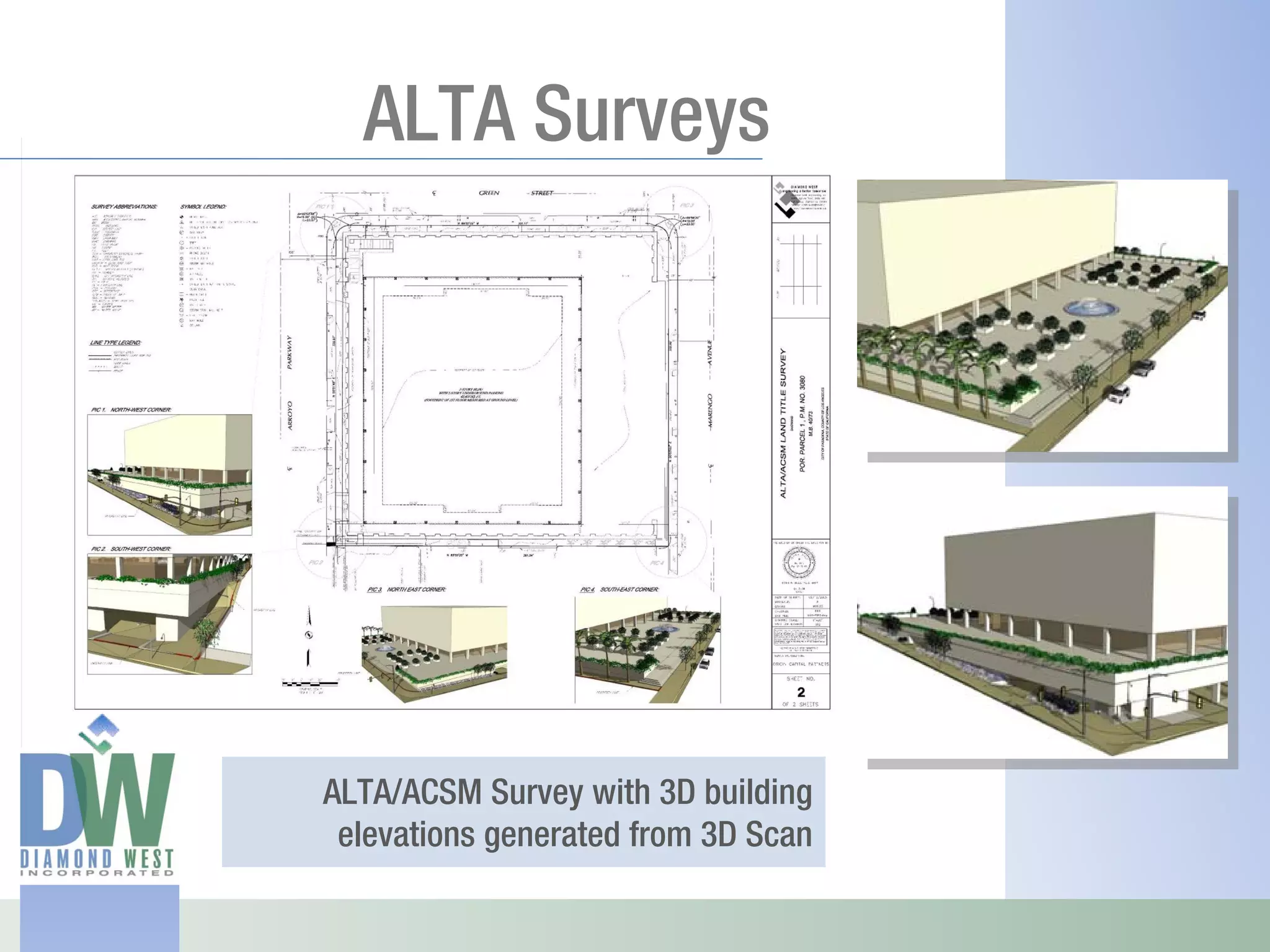
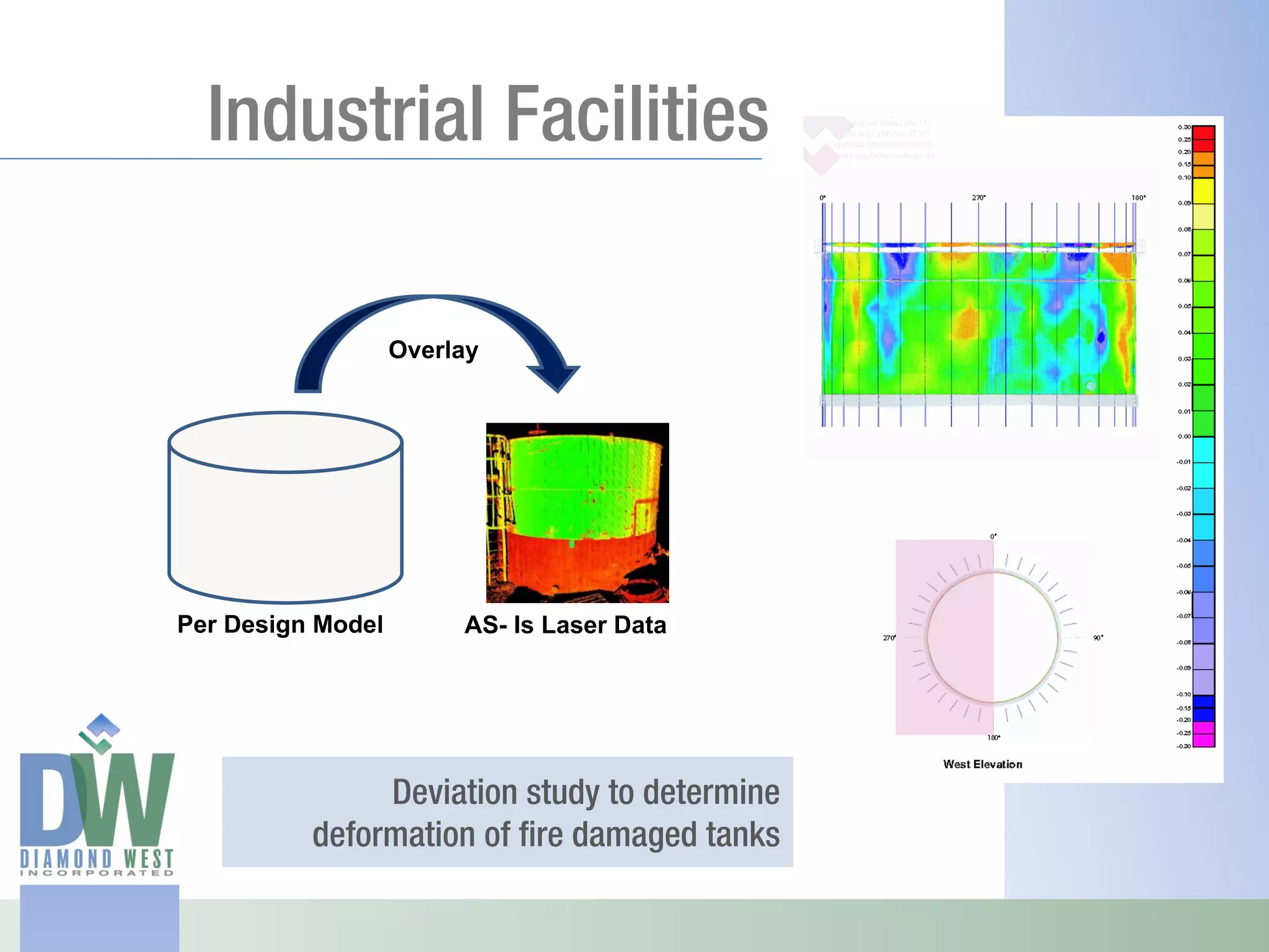
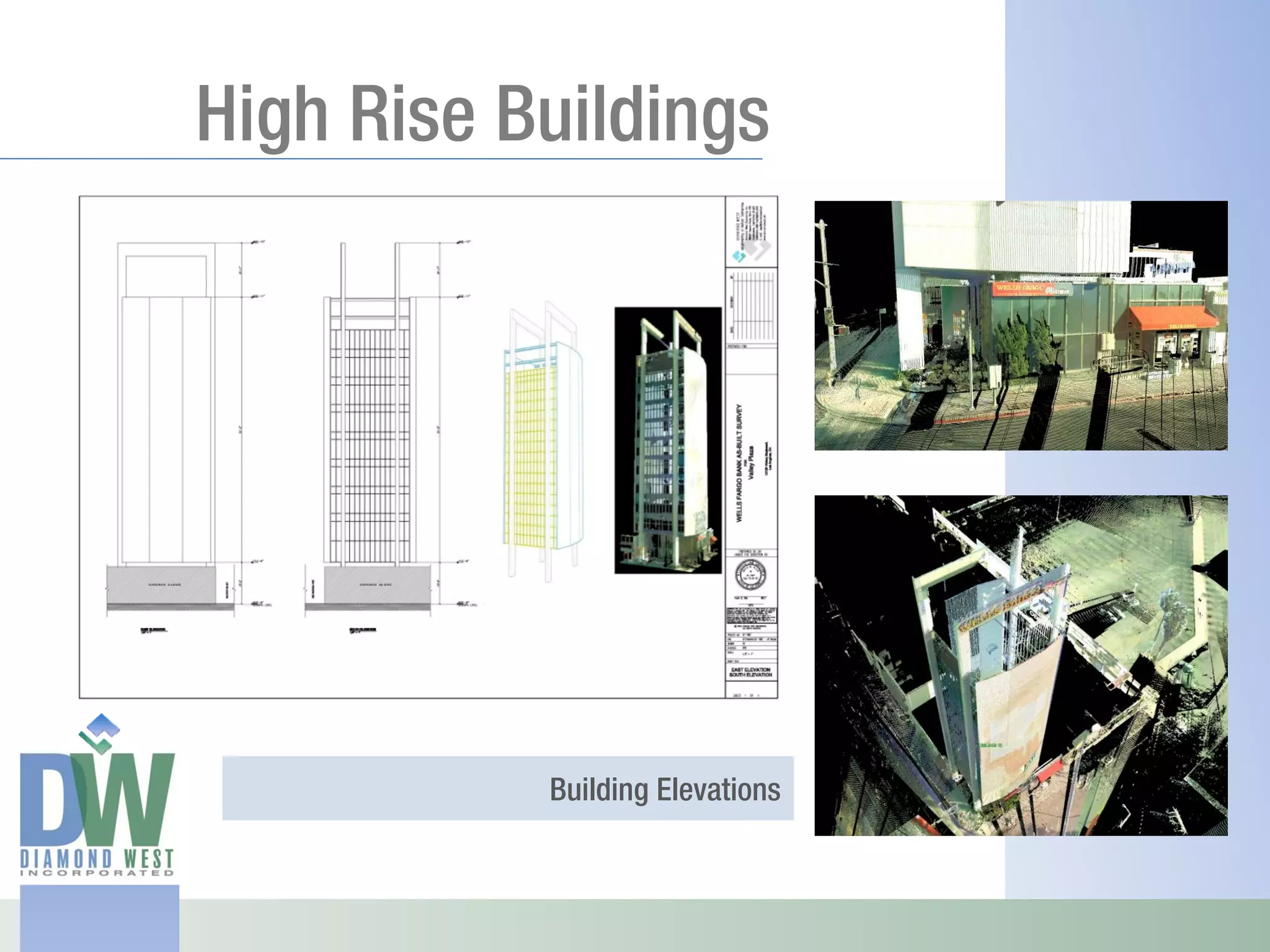
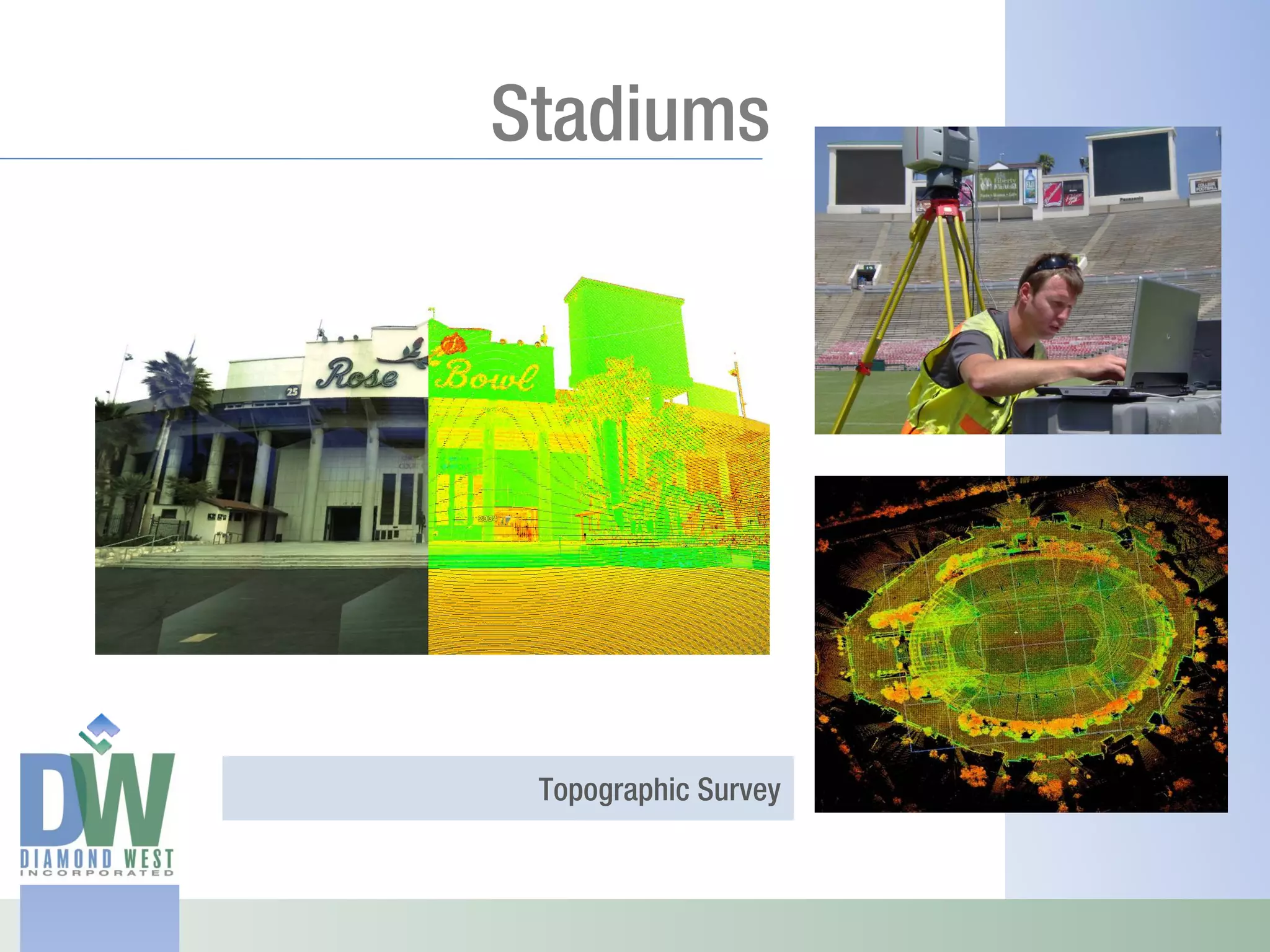
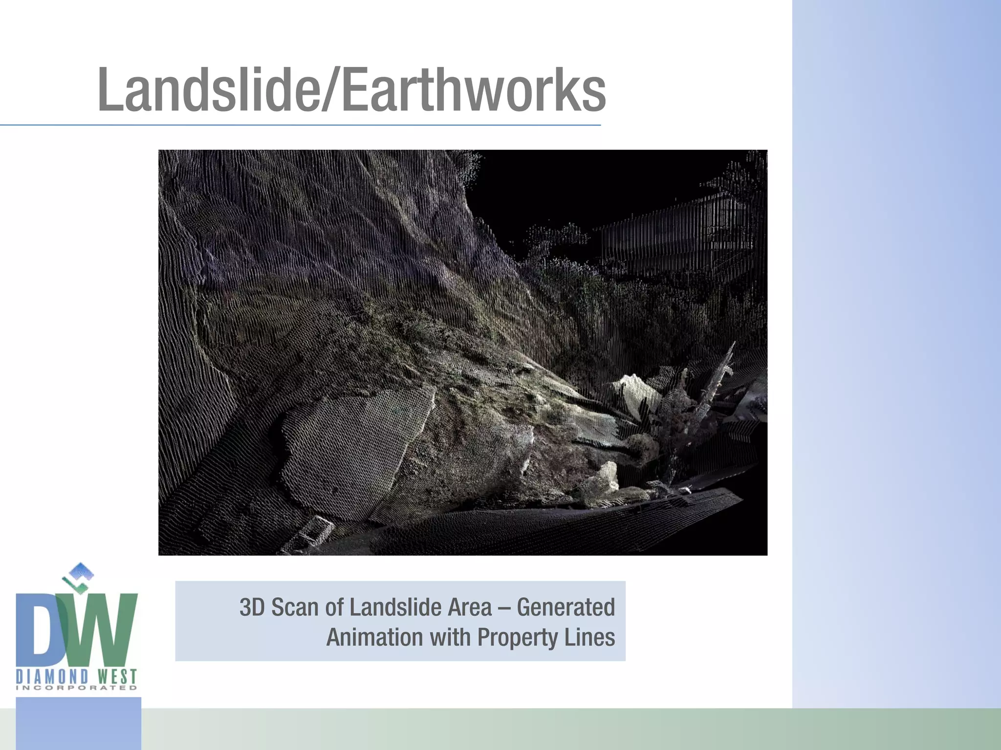
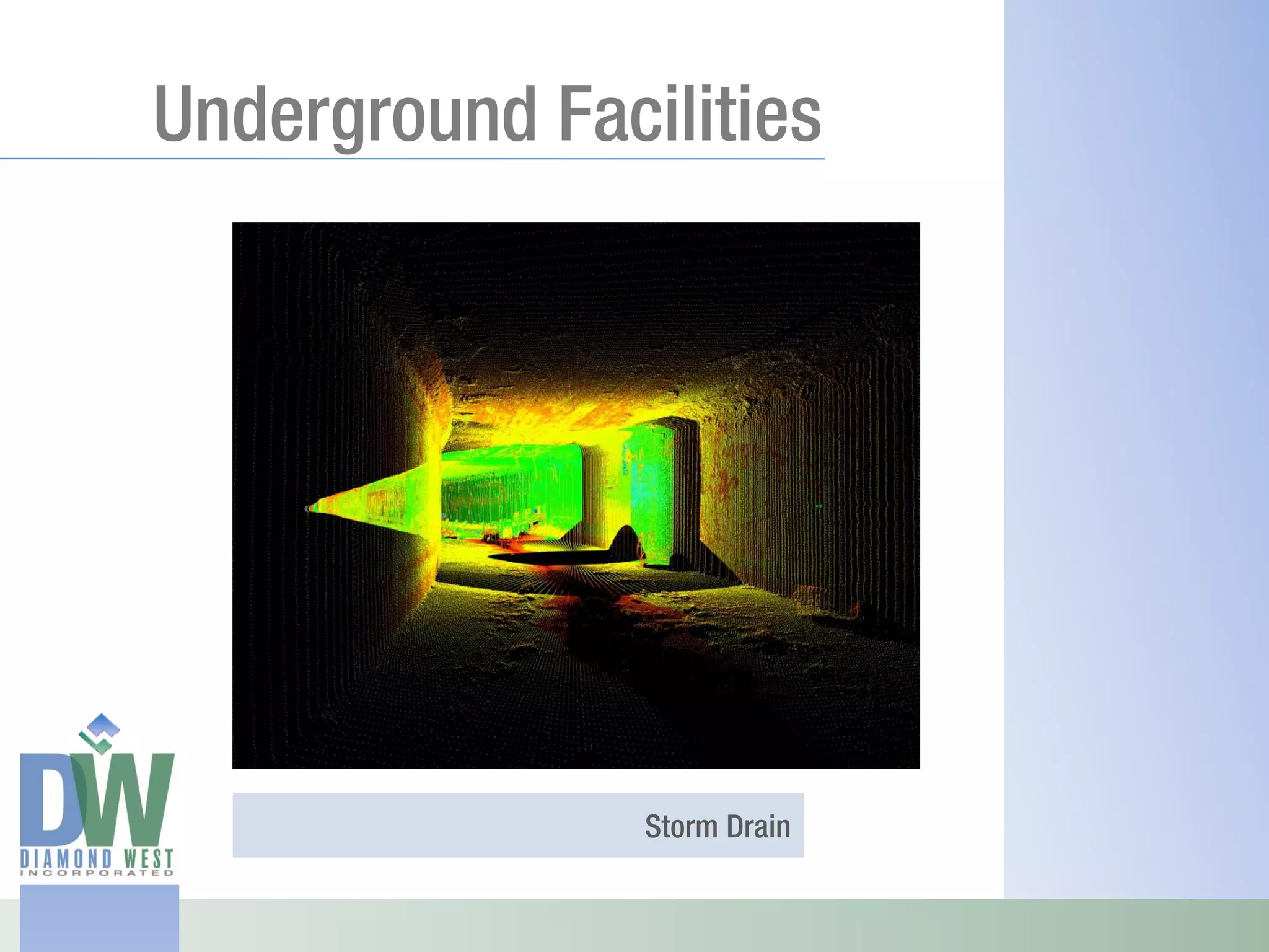
3D Laser Scanning Presentation
Overview

 Diamond West utilizes LIDAR (Light 
 Detection and Ranging) 3D scanning 
 technology to digitally reconstruct an 
 existing environment in a 3D digital model 
 with sub‐centimeter accuracy. 

 Digitally scanned data can be modeled in 
 3D or converted to 2D drawings (plan view, 
 elevation cross section, and profiles) for 
 export to any standard CADD platform.
Overview

 Campuses, Urban Areas, Streetscapes


Bridges, Detailed Topographical Survey,
                  Underground Facilities

   Historical Buildings, Adaptive Reuse,
                      Industrial Facilities
Scanning Hardware

Calculates XYZ positions at the rate of 1000
                          points per second


    Collects data within a range of up to
                                  100 m

                          Accuracy 6mm
Historic Office Building


              Existing Building
Historic Office Building


            Raw Point Cloud Data
Historic Office Building


             Generate Poly Lines
Historic Office Building


              Render Surfaces
Historic Office Building


              Night Simulations
Historic Power Plant


             Existing Building
Historic Power Plant


               Renderings
Historic Power Plant


               Renderings
Historic Power Plant


               3D Sections
Historic Power Plant


               3D Sections
Historic Power Plant


            Building Elevations
Historic Power Plant


               Floor Plans
Theatre


ADA Compliance
Urban Streetscape


    EIR Exhibit – Height Comparison
Street Scene


Existing street scene with proposed
                       environment
Street Scene


    Existing street scene
LAX Restaurant


   Structural damage analysis
Roads and Bridges


 Detailed topographic and bridge survey
                  to facilitate widening
Roads and Bridges


 Detailed topographic and bridge survey
                  to facilitate widening
ALTA Surveys


ALTA/ACSM Survey with 3D building
 elevations generated from 3D Scan
Industrial Facilities

                   Overlay


Per Design Model        AS- Is Laser Data


               Deviation study to determine
          deformation of fire damaged tanks
High Rise Buildings


           Building Elevations
Stadiums


 Topographic Survey
Landslide/Earthworks


     3D Scan of Landslide Area – Generated
             Animation with Property Lines
Underground Facilities


                Storm Drain

Diamond West 3D Laser Scanning Presentation