Downloaded 125 times


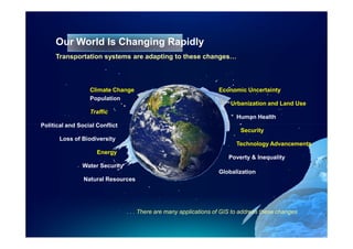
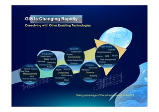
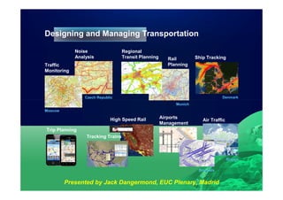
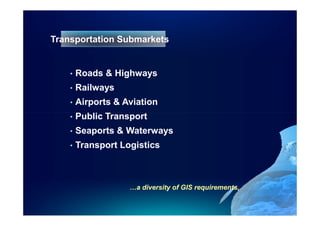
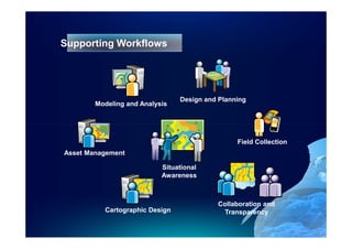
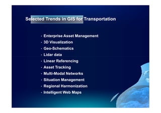
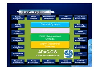
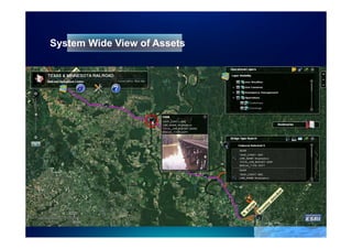
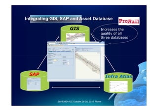
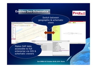
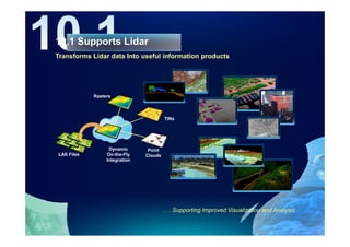
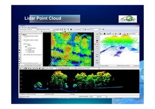
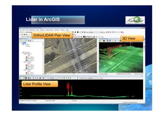
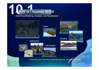
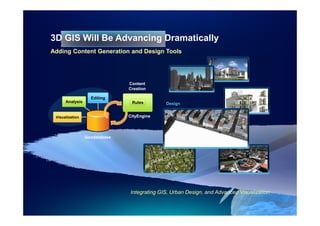
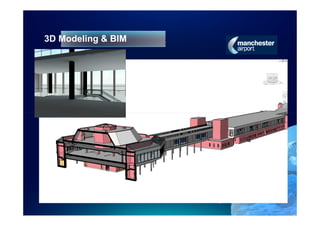
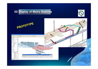

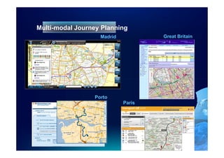
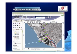

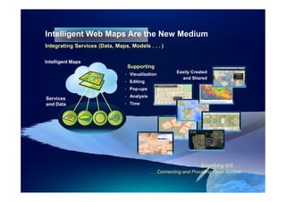
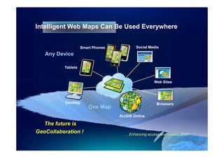
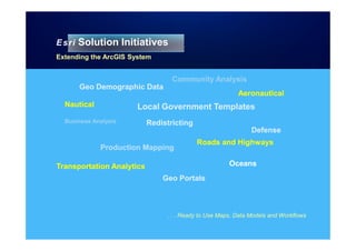
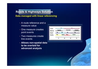
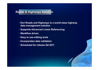
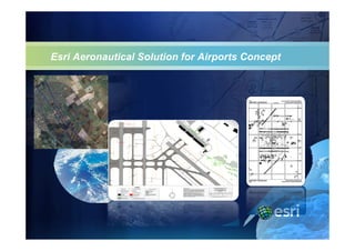


This document discusses trends in geographic information systems (GIS) for transportation. It notes that transportation systems are adapting to changes like climate change, urbanization, and new technologies. GIS is also changing with advancements in web services, mobile access, cloud computing, and more. The document outlines various applications of GIS for transportation planning, asset management, field data collection, and more. It highlights trends in GIS for transportation including asset management, 3D visualization, lidar data, and intelligent web maps.


![Openingsfeest 2005 presentation geo bips [compatibility mode]](https://cdn.slidesharecdn.com/ss_thumbnails/openingsfeest2005presentationgeobipscompatibilitymode-100416082204-phpapp01-thumbnail.jpg?width=640&height=640&fit=bounds)


![Getting Started with Apache Spark: Big Data Made Simple [Free Meetup]](https://cdn.slidesharecdn.com/ss_thumbnails/apachesparkgettingstarted-260203175547-8361bcc3-thumbnail.jpg?width=640&height=640&fit=bounds)


