Download to read offline

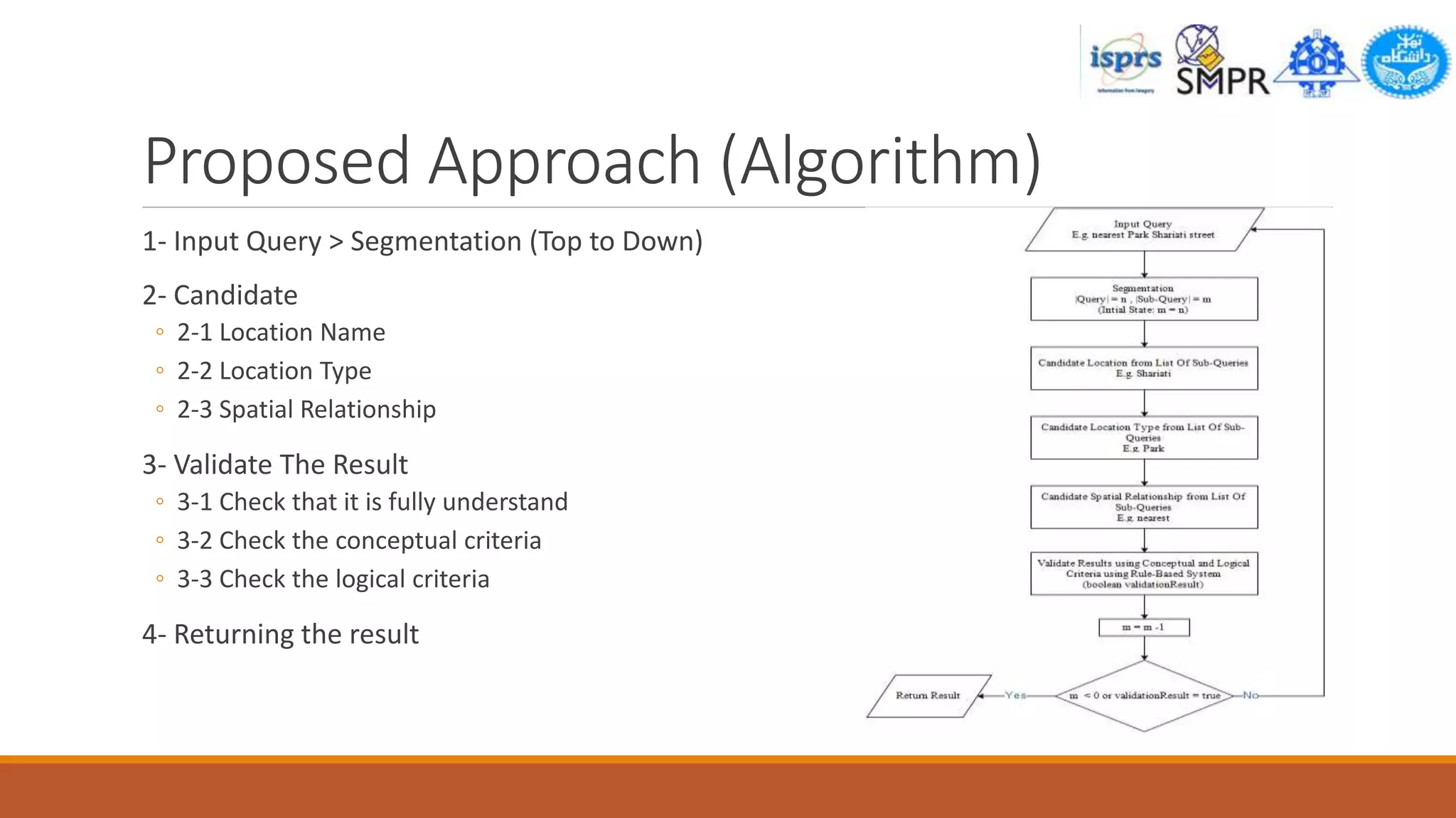
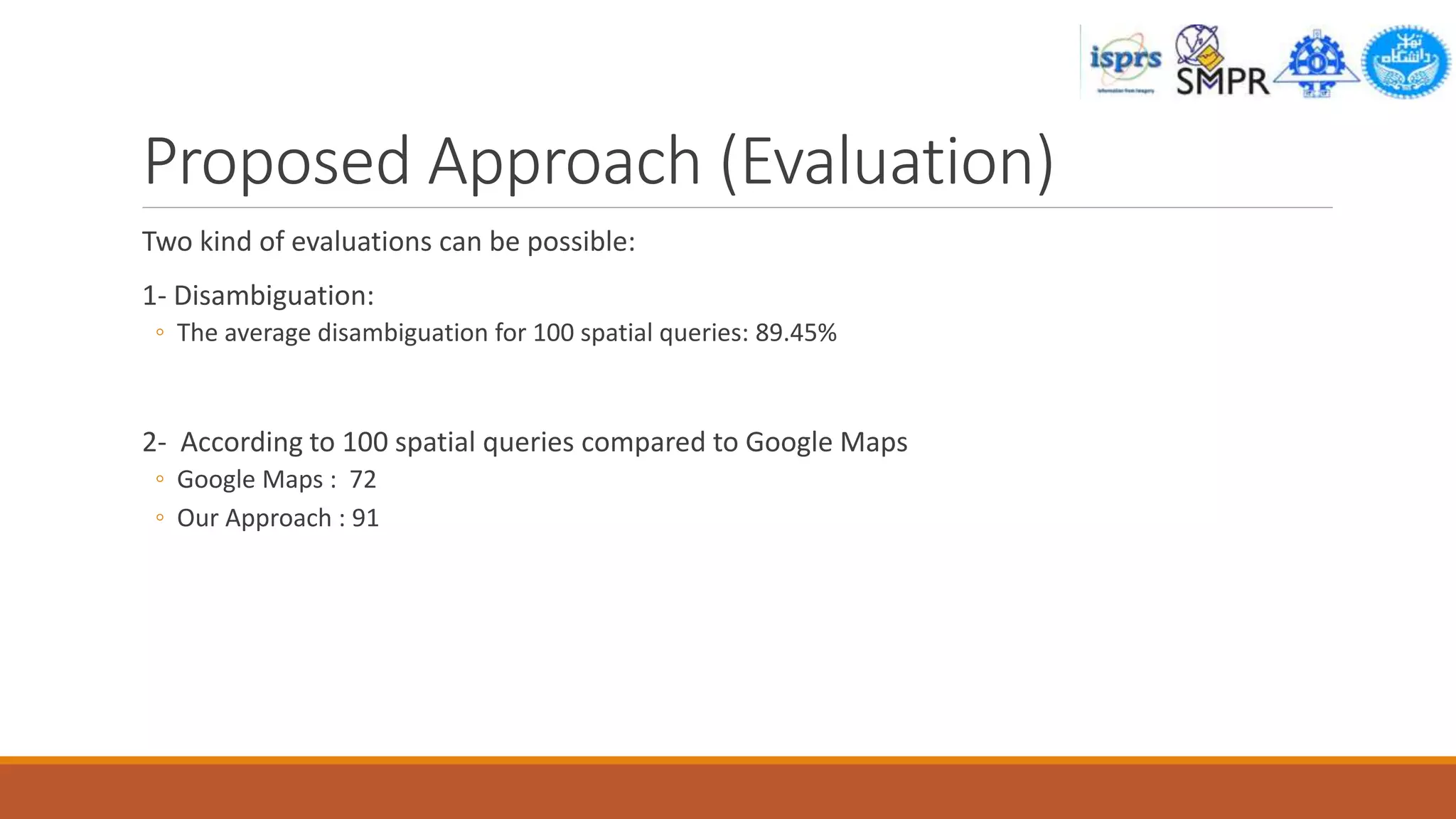
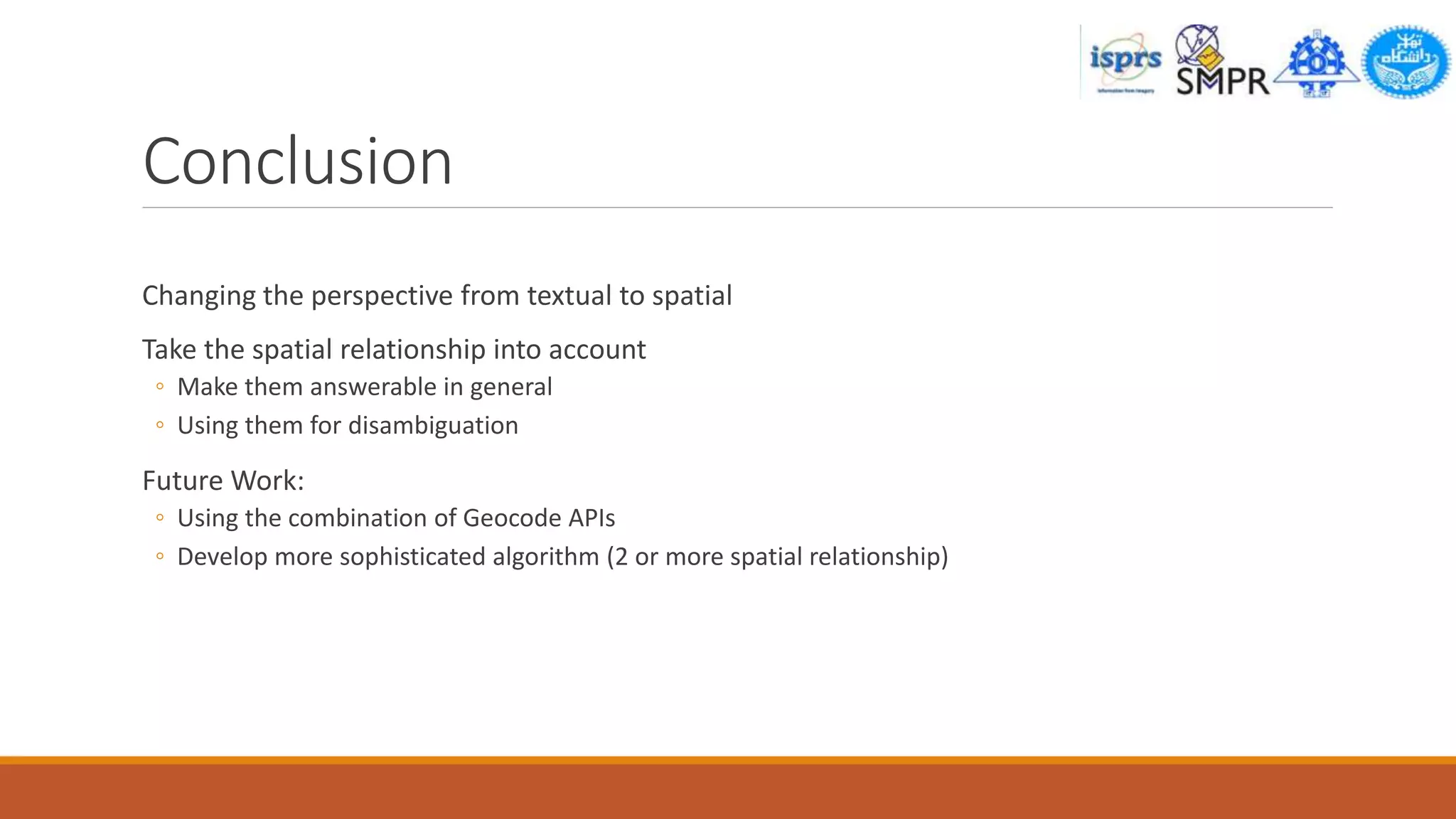


This document summarizes a research paper on spatial queries, entity recognition, and disambiguation. It begins with an introduction on the history of search engines and the rise of spatial search engines. It then discusses related work on query processing, entity recognition, and disambiguation. The document outlines the author's proposed approach, which uses natural language processing to recognize locations, types of locations, and spatial relationships in queries. It evaluates the approach based on disambiguation accuracy and comparison to Google Maps results. In conclusion, it discusses how the approach changes the perspective to spatial queries and allows disambiguation, with potential for future work combining geocoding APIs and handling multiple relationships.