Downloaded 818 times
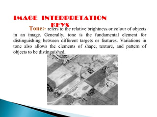
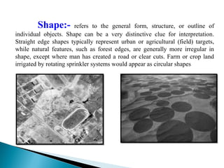
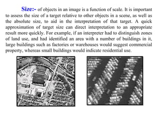
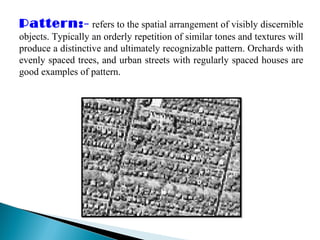
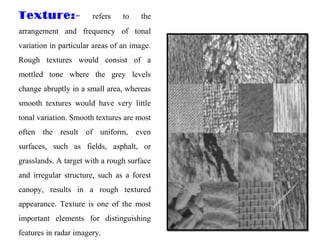
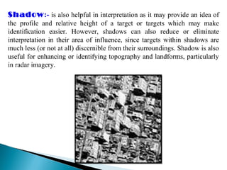
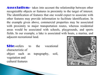
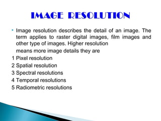
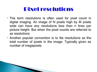
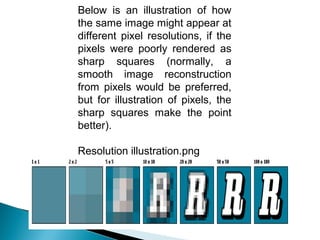
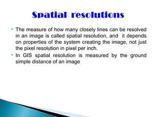

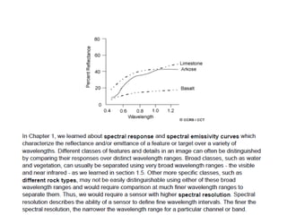


Image interpretation keys and resolutions are essential for remote sensing. There are several keys that aid visual interpretation including tone, size, shape, texture, pattern, location, association, shadow and site. Higher image resolution means more discernible details, with pixel resolution referring to image size in pixels and spatial resolution depending on ground sample distance. Other types of resolutions include spectral, temporal, and radiometric resolutions which influence how finely differences can be distinguished.


