Downloaded 391 times


![Image Representation or Interpretation
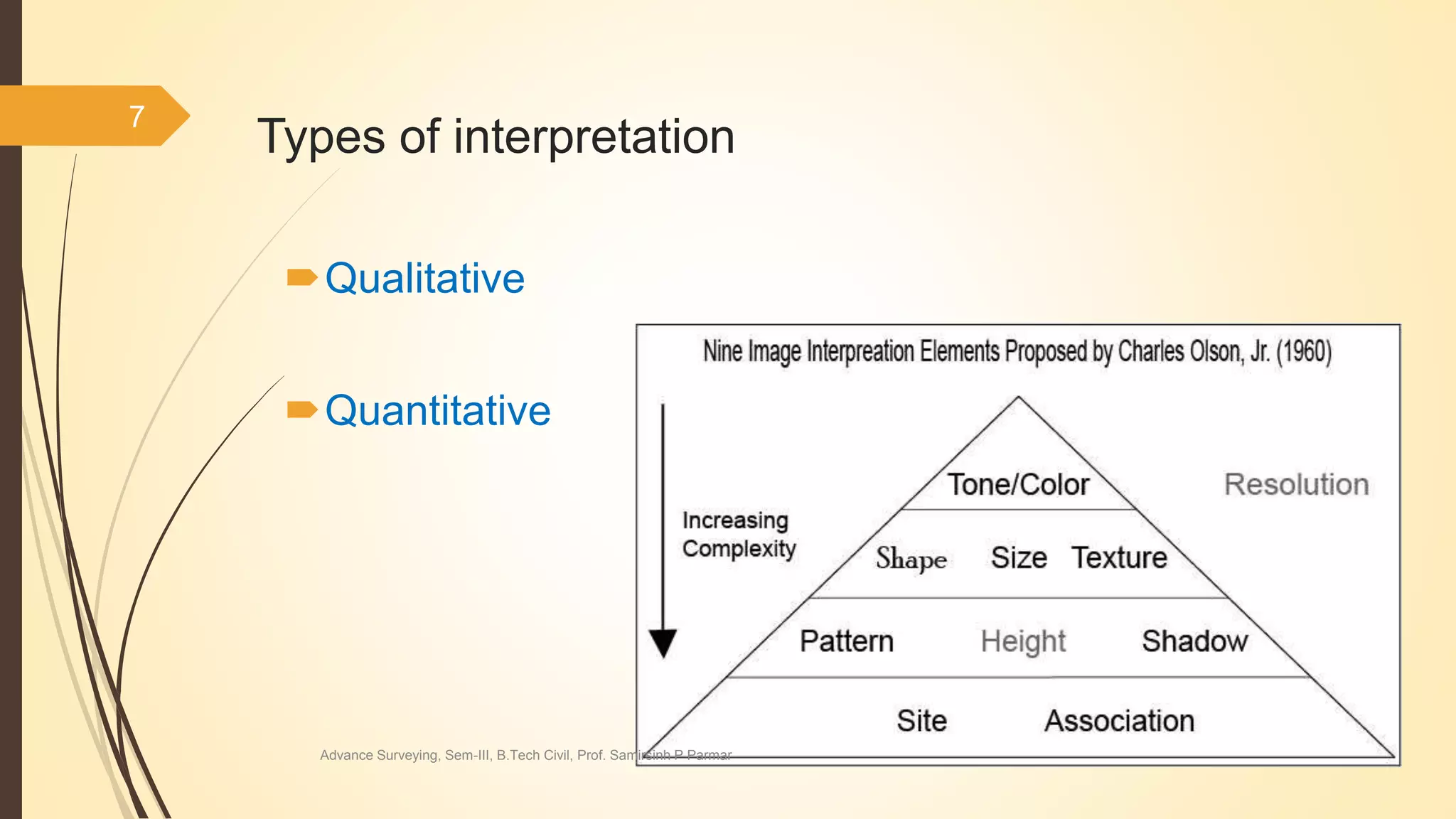
For facilitating mental process [ procedures] we use some mental representations
say rules for knowledge formation in particular domain.
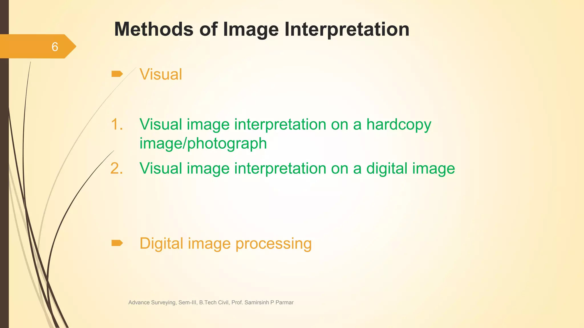
So, what can be the mental representations :
= Logical propositions, Thoughts, Percepts,
Rules, Concepts, Idea, Impressions,
Schemas
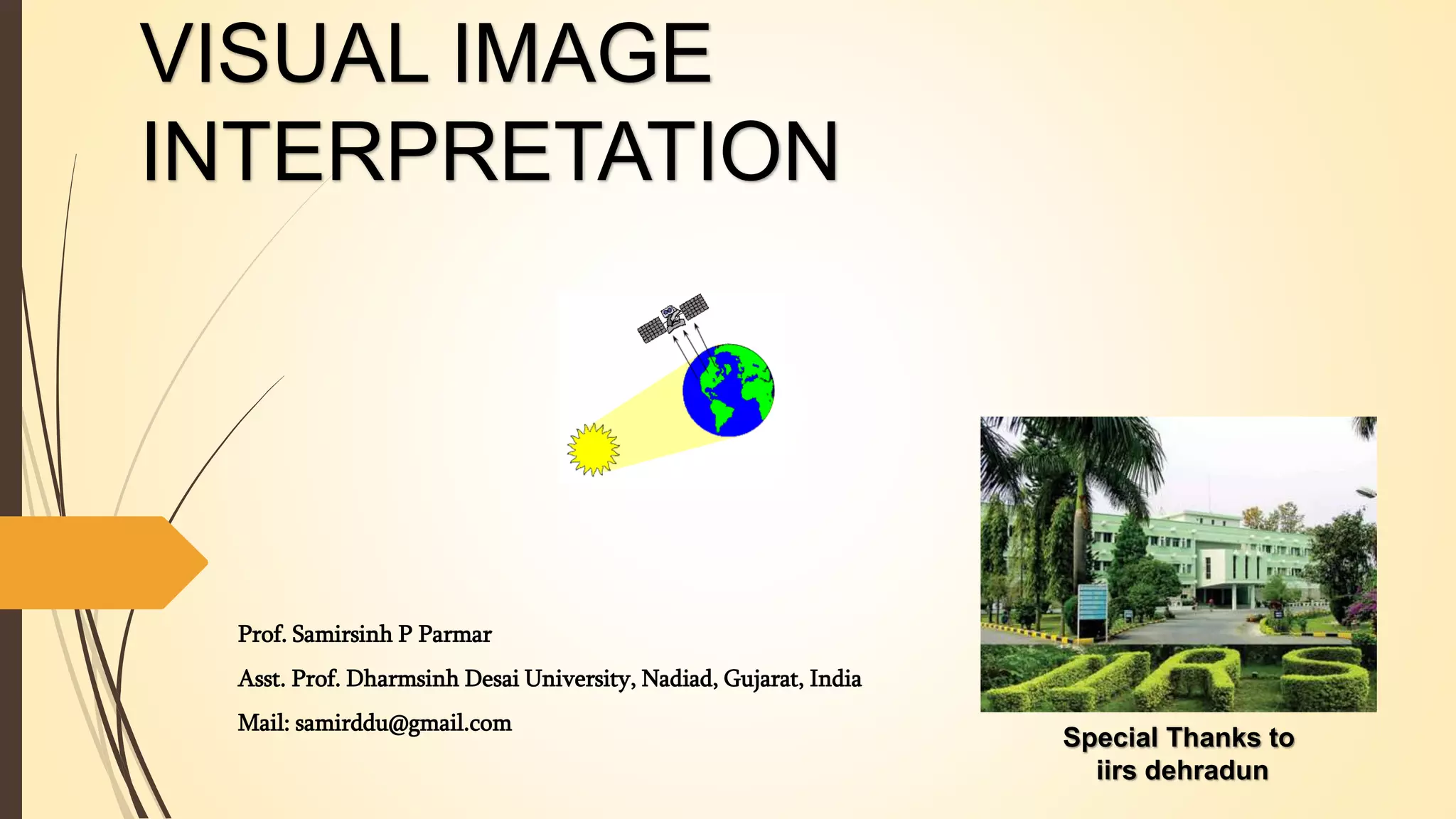
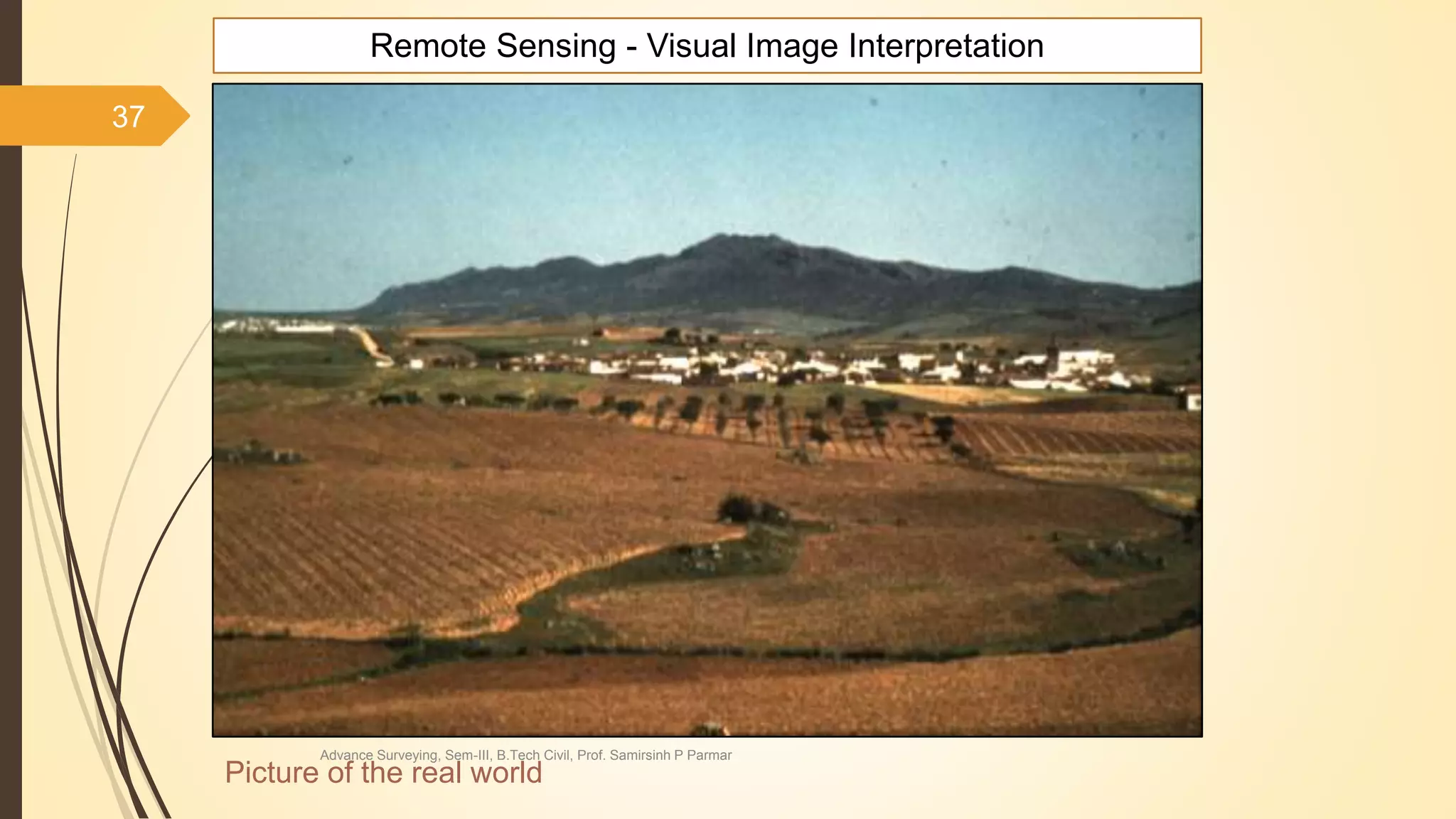
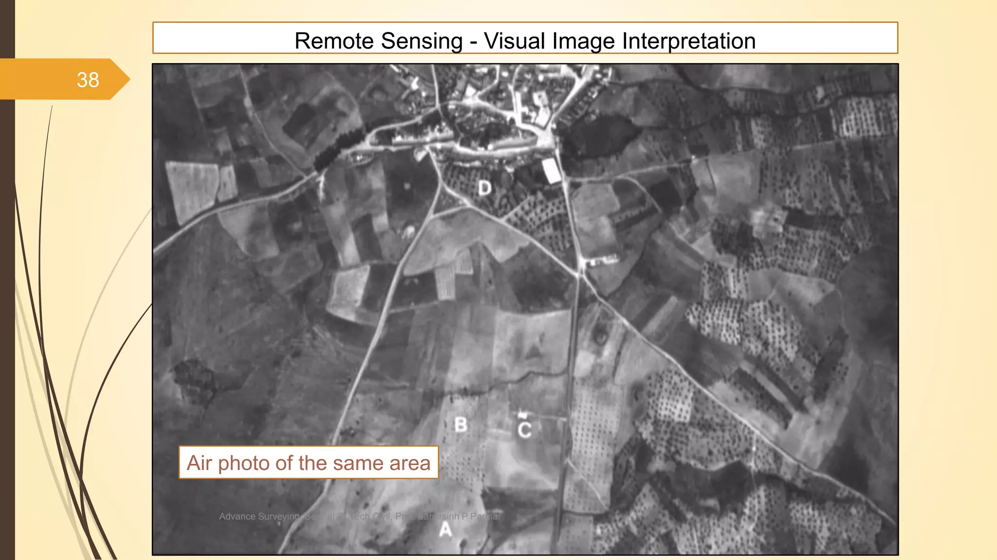
80 Remote Sensing Visual Image Interpretation
Advance Surveying, Sem-III, B.Tech Civil, Prof. Samirsinh P Parmar](https://image.slidesharecdn.com/visualimageinterpretation-220906022426-fbac14e4/75/VISUAL-IMAGE-INTERPRETATION-pptx-80-2048.jpg)


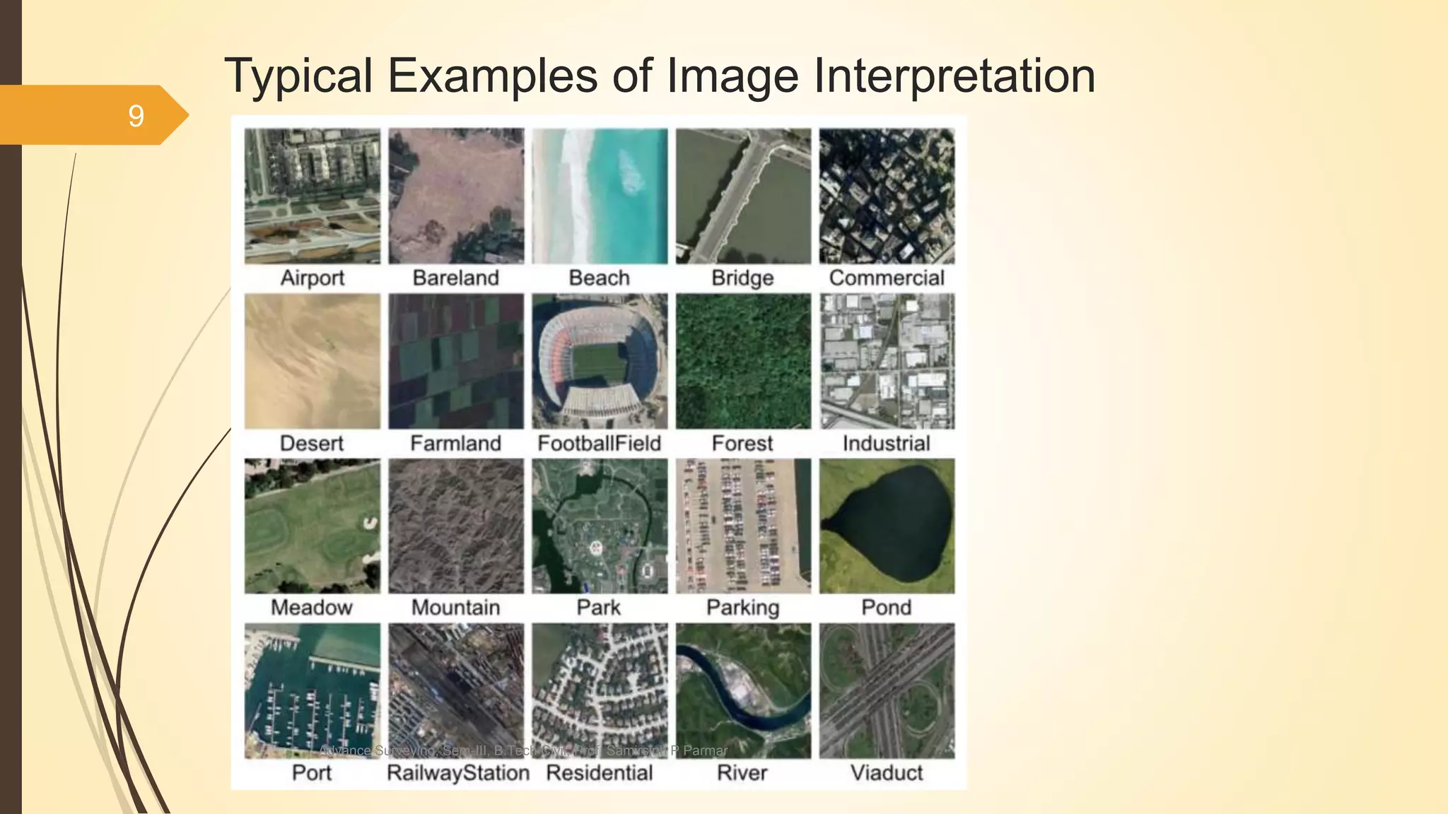
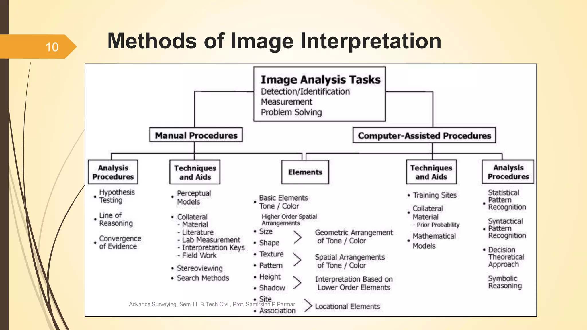
The document provides a comprehensive overview of visual image interpretation, highlighting its significance in examining images to identify objects and their characteristics. It discusses various methods and techniques of image interpretation, including visual and digital processing, and outlines the factors that affect the interpretability of images. Additionally, it details the intrinsic and extrinsic elements involved in interpreting images, emphasizing the role of both the interpreter's expertise and the technology used.


