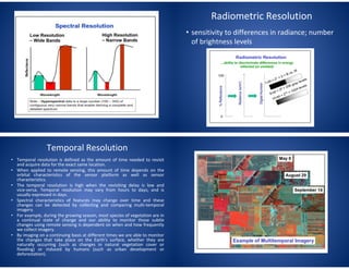
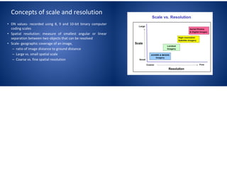
This document discusses concepts of scale and resolution in geography. It defines scale as the relationship between distances on a map and distances on the ground. Spatial scale involves grain, the size of pixels, and extent, the size of the study area. Resolution refers to the smallest detectable feature and depends on pixel size and the sensor's instantaneous field of view. The document outlines different types of resolution including spatial, spectral, radiometric, and temporal resolution.