The document provides an overview of the Global Positioning System (GPS), detailing its components, working principles, applications, advantages, and disadvantages. Managed by the U.S. Air Force, GPS utilizes a constellation of satellites to provide precise location and time information. Despite certain limitations, GPS is highlighted as an advanced and essential navigation system with diverse applications in various sectors.
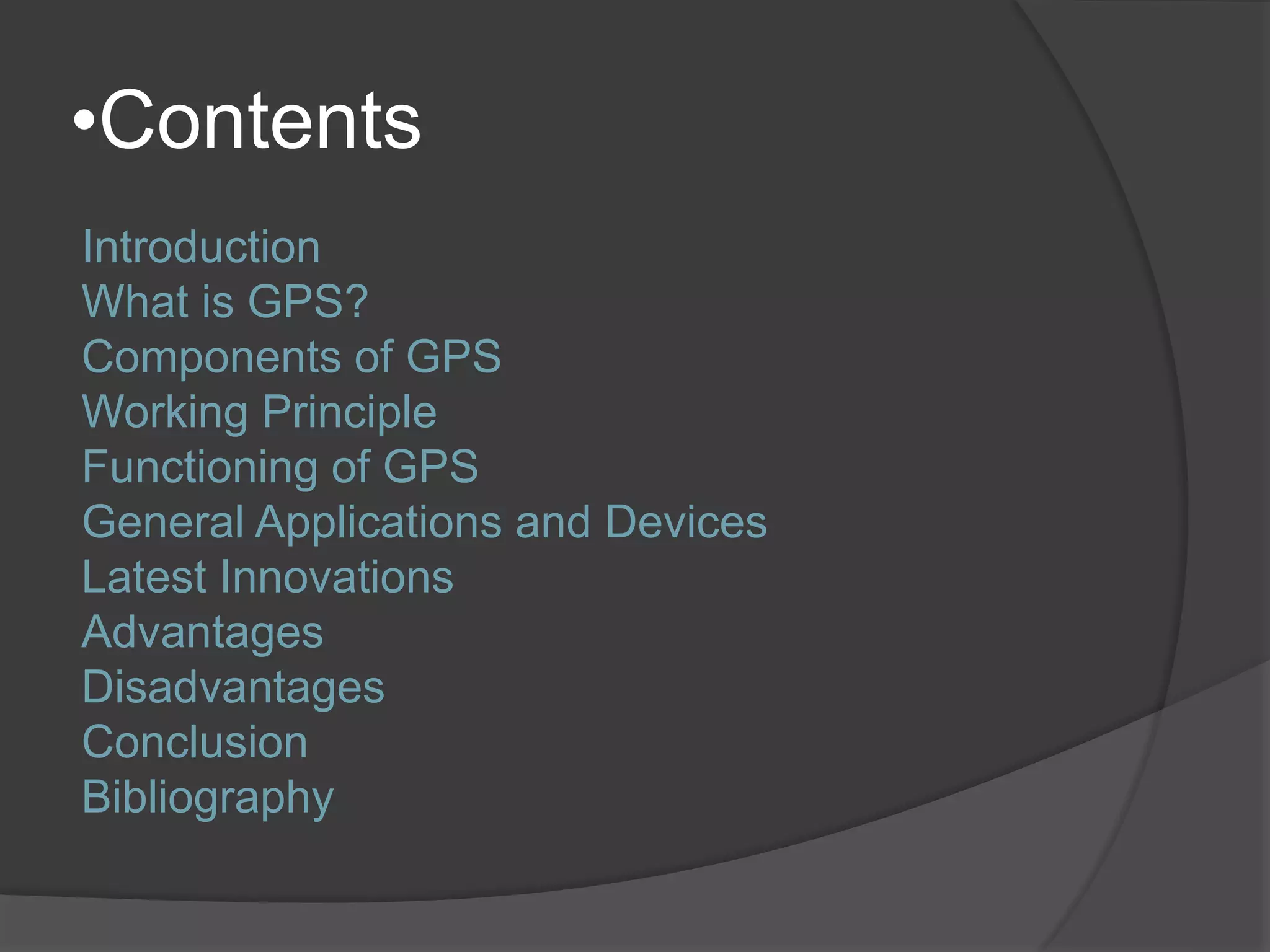
Outline of contents including Introduction, GPS definition, components, working, applications, innovations, advantages, disadvantages, conclusion, and bibliography.
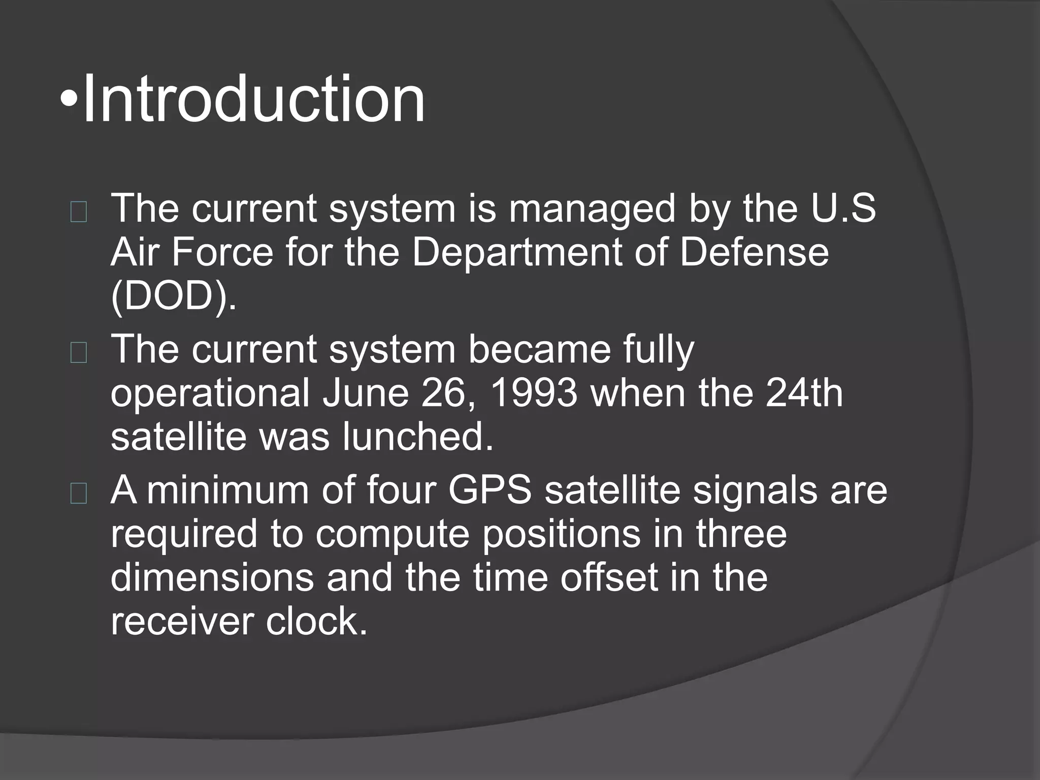
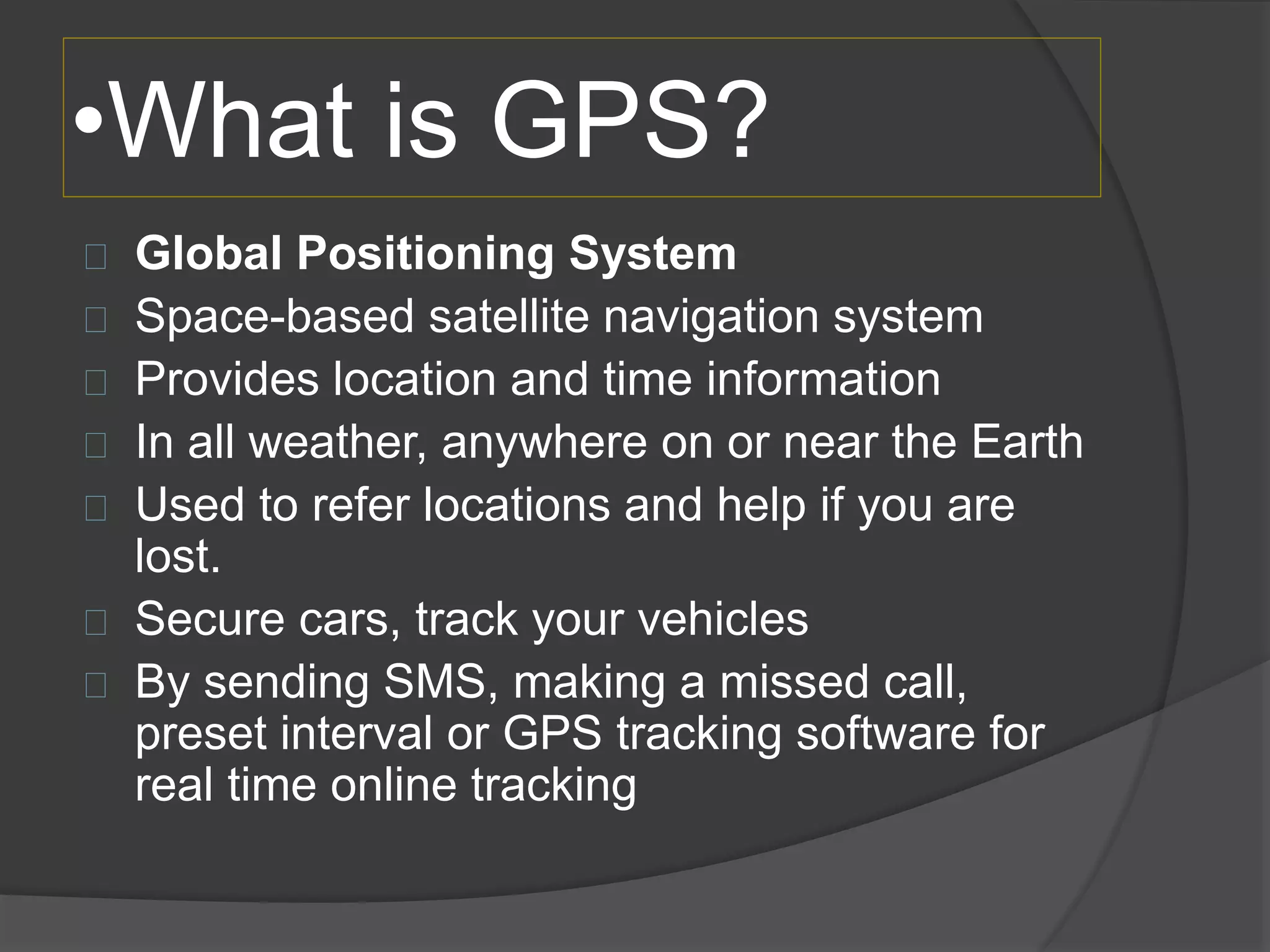
GPS managed by U.S. Air Force; operational since 1993; provides location and time in any weather to secure vehicles.
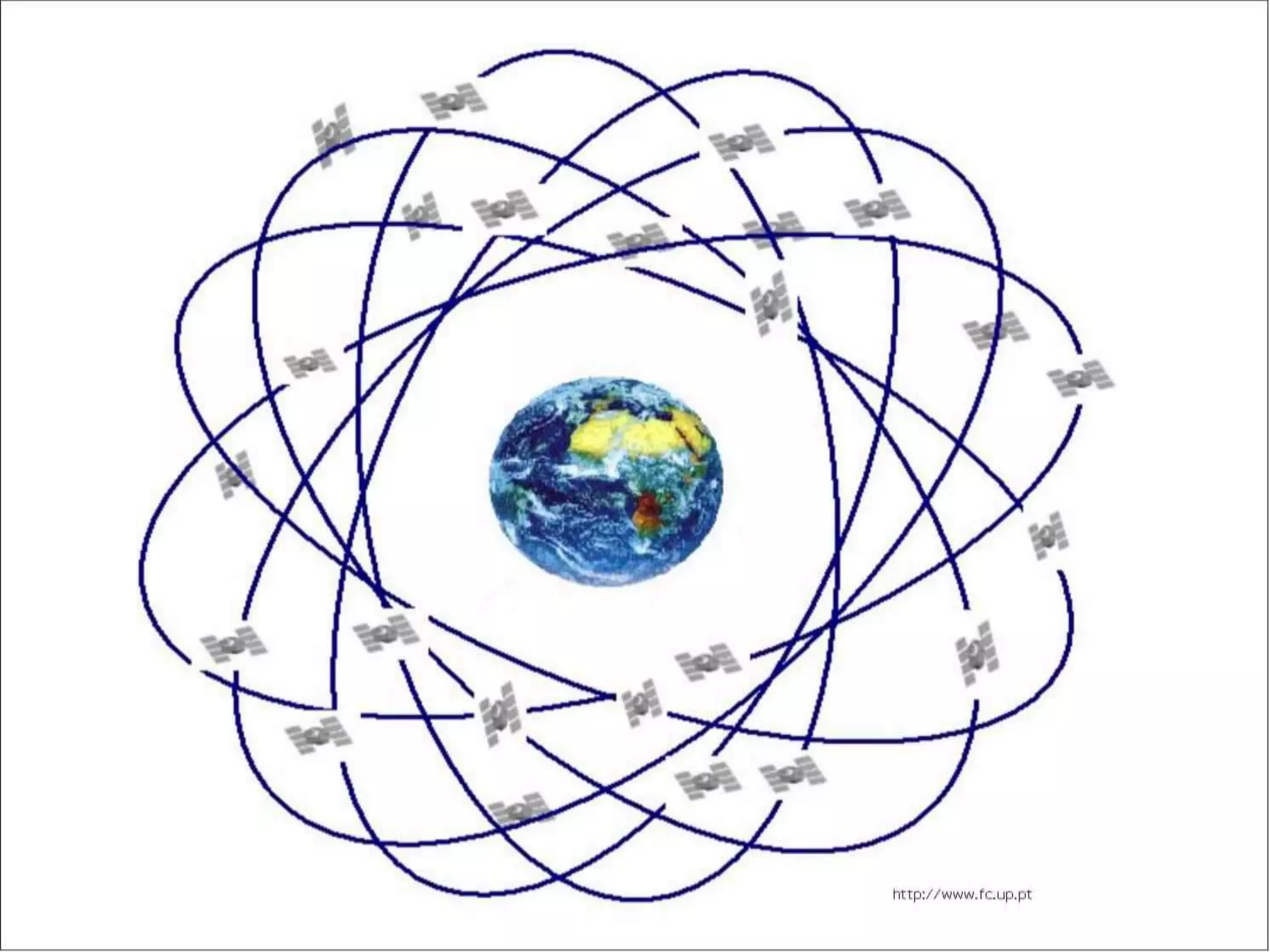
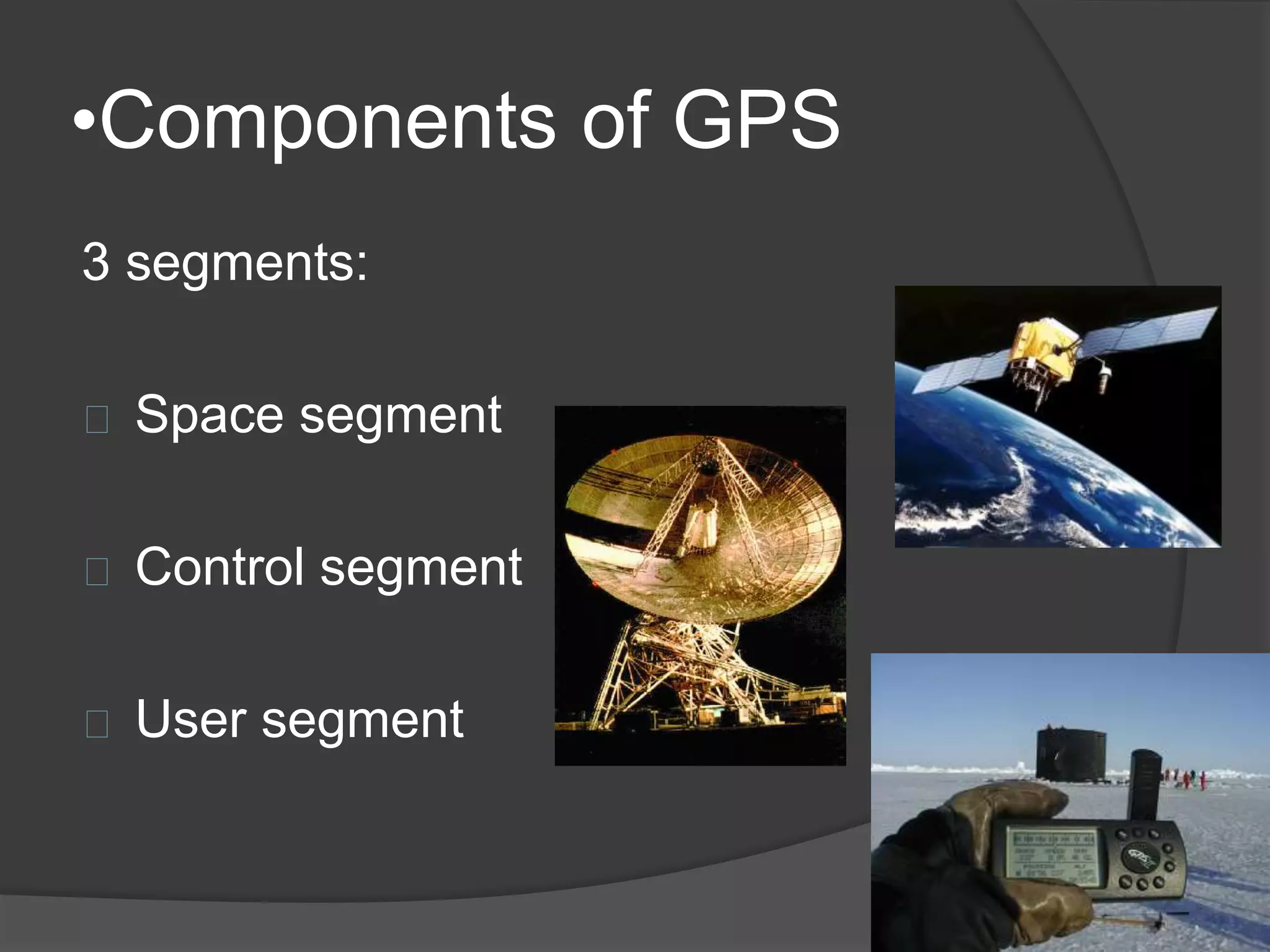
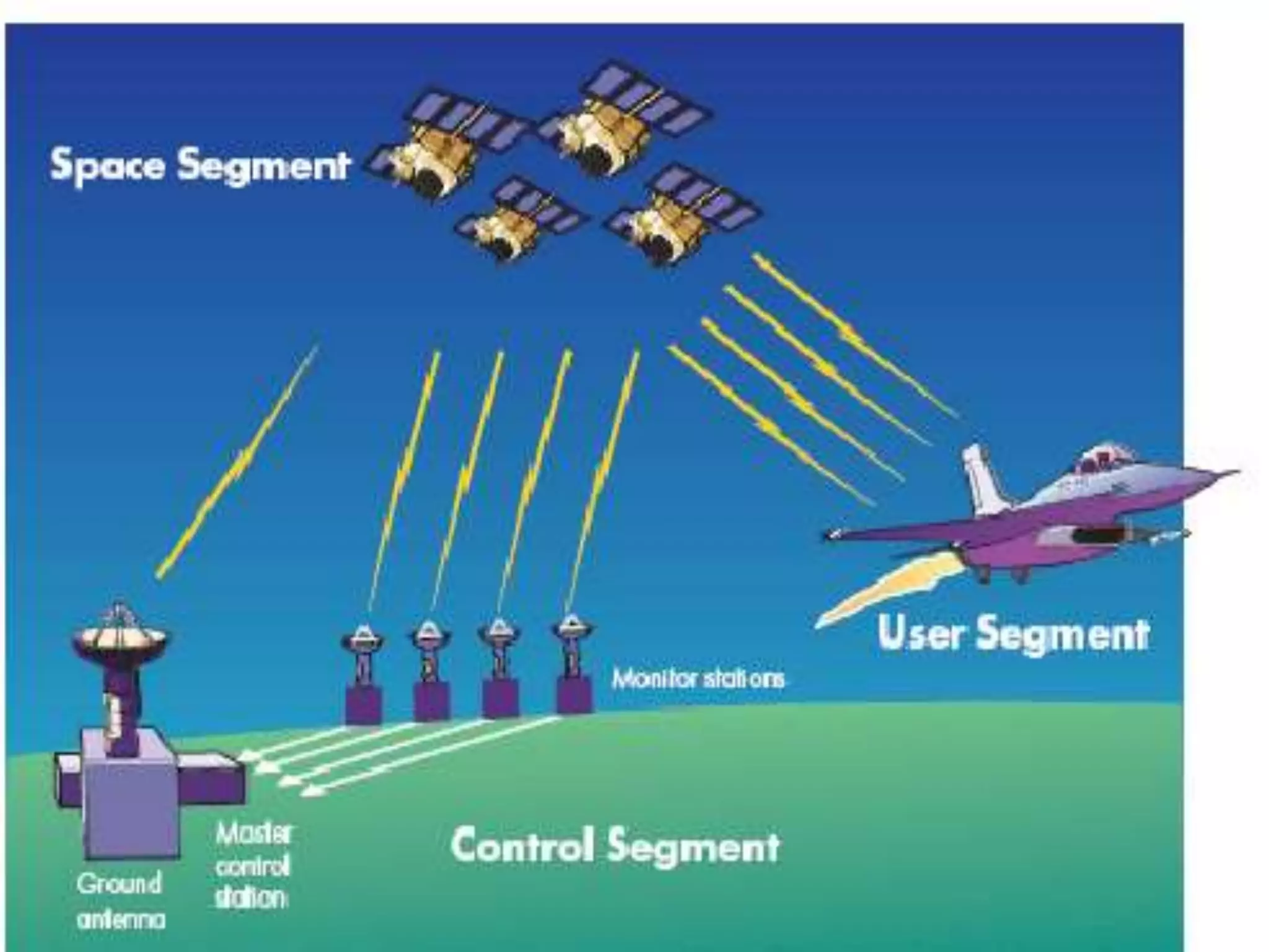
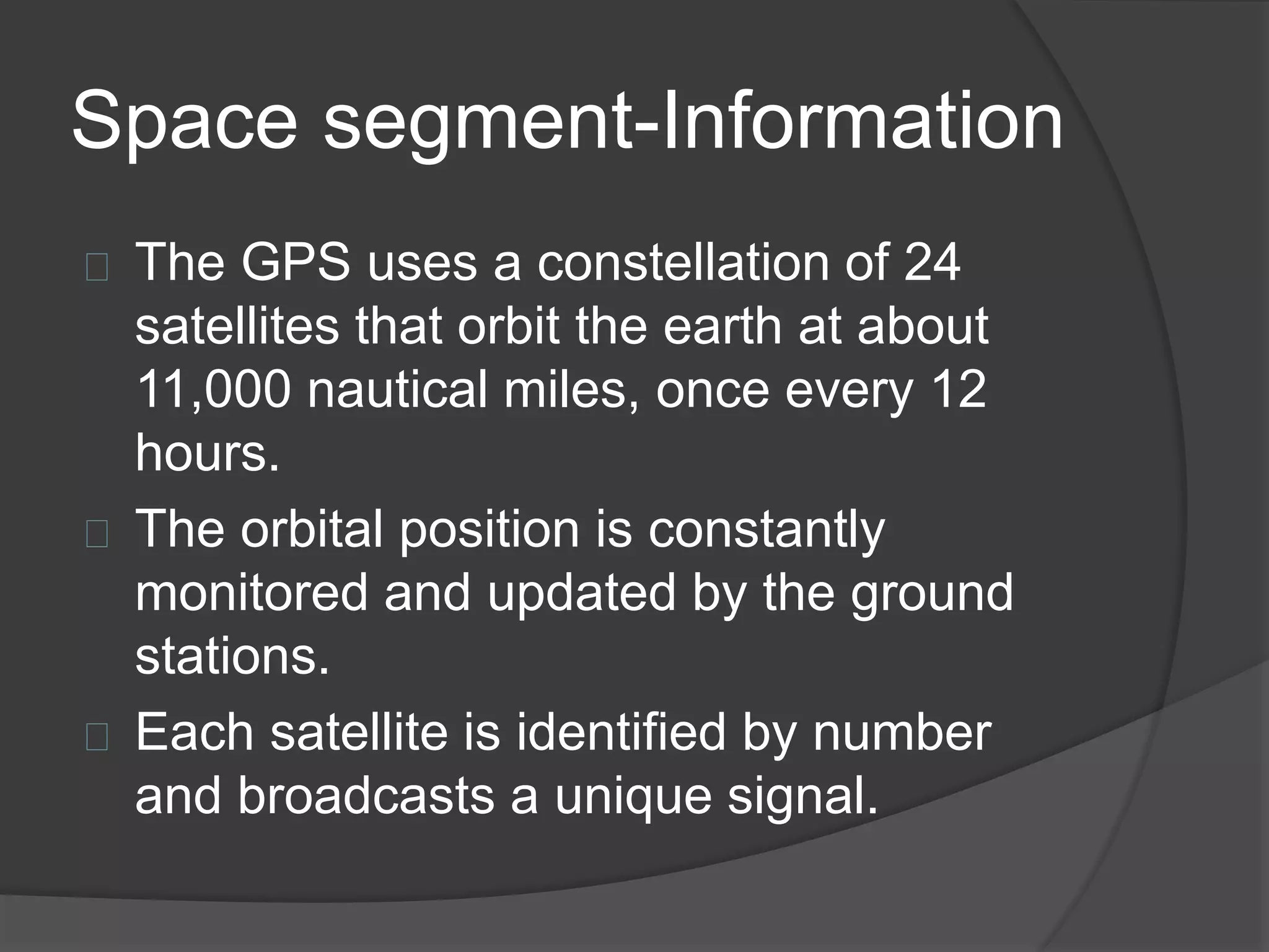
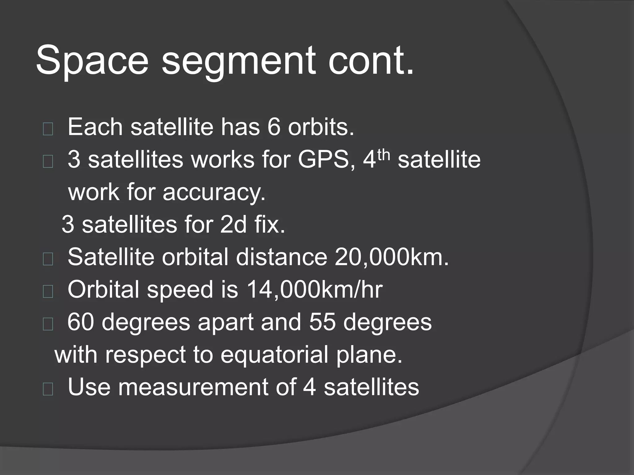
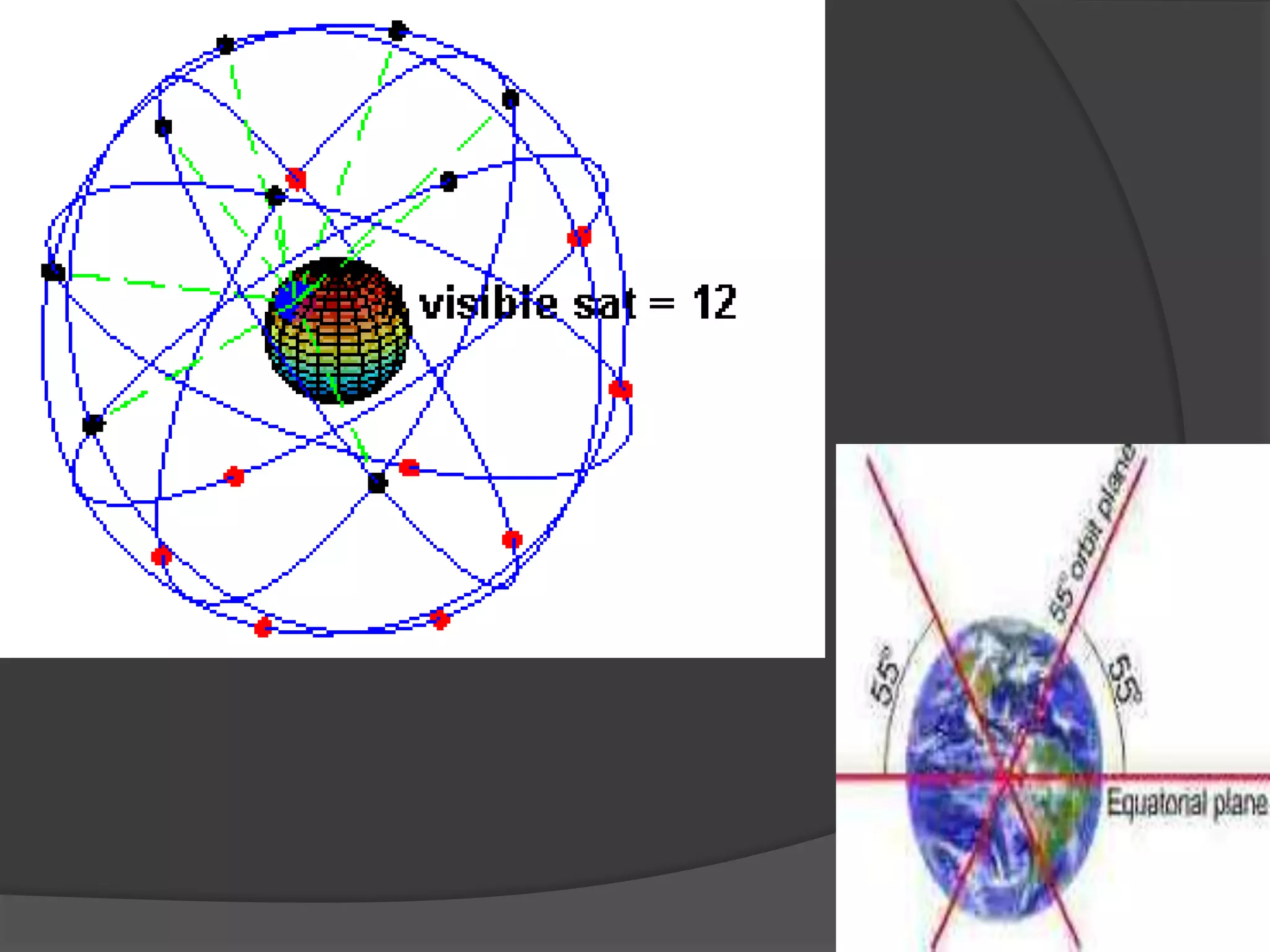
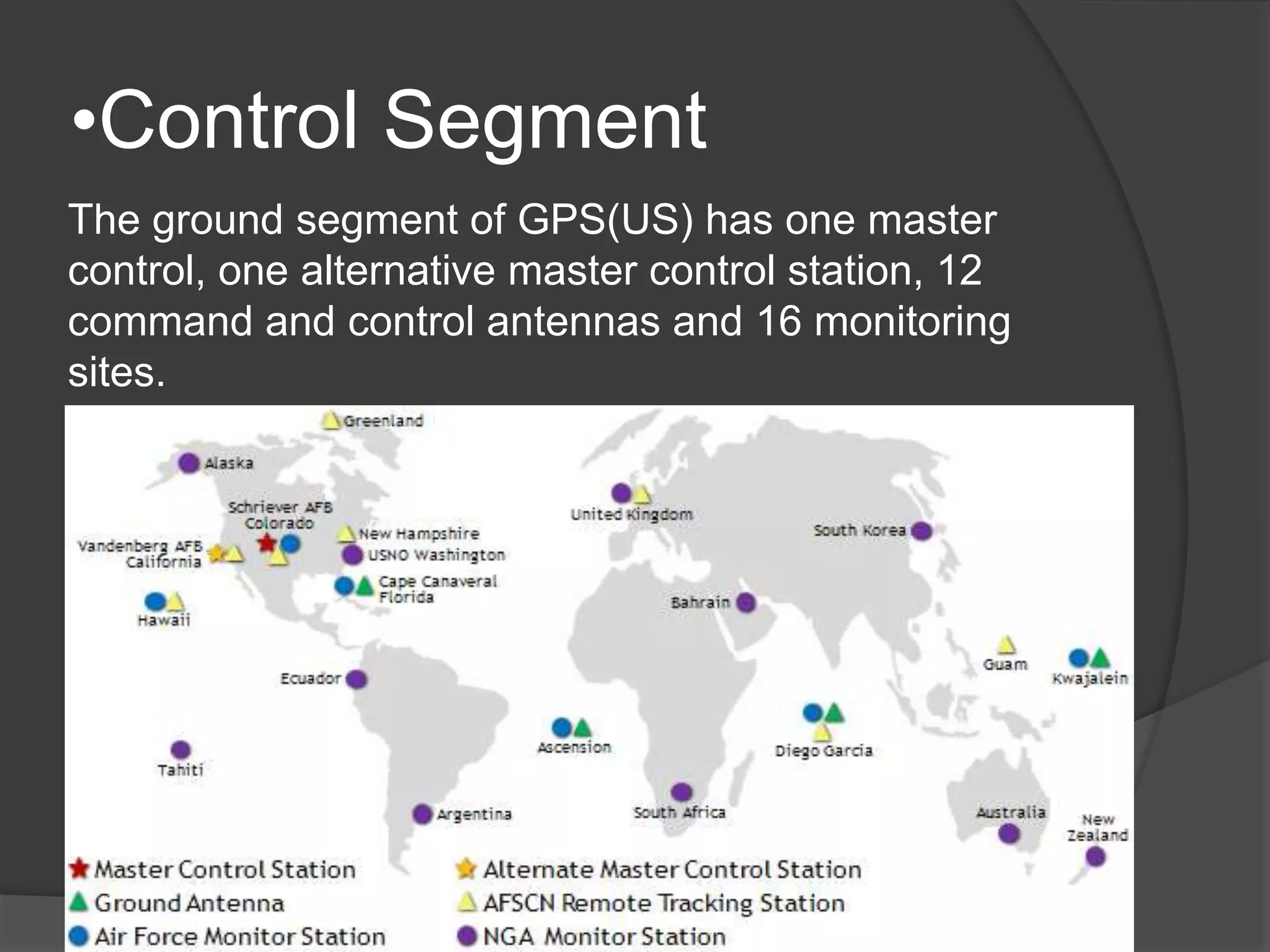
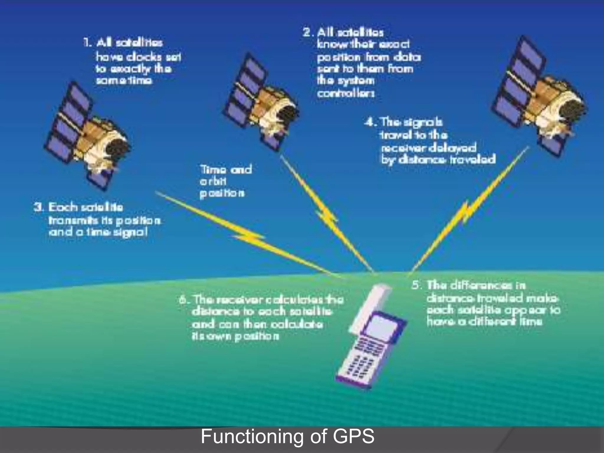
Three GPS segments: Space (24 satellites), Control (ground stations), and User segment (receivers processing signals for location).
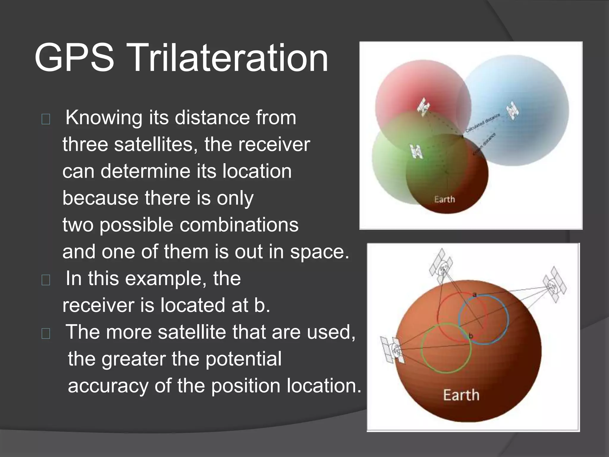
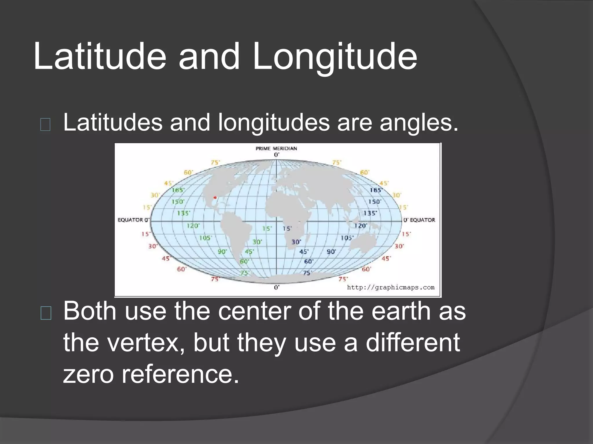
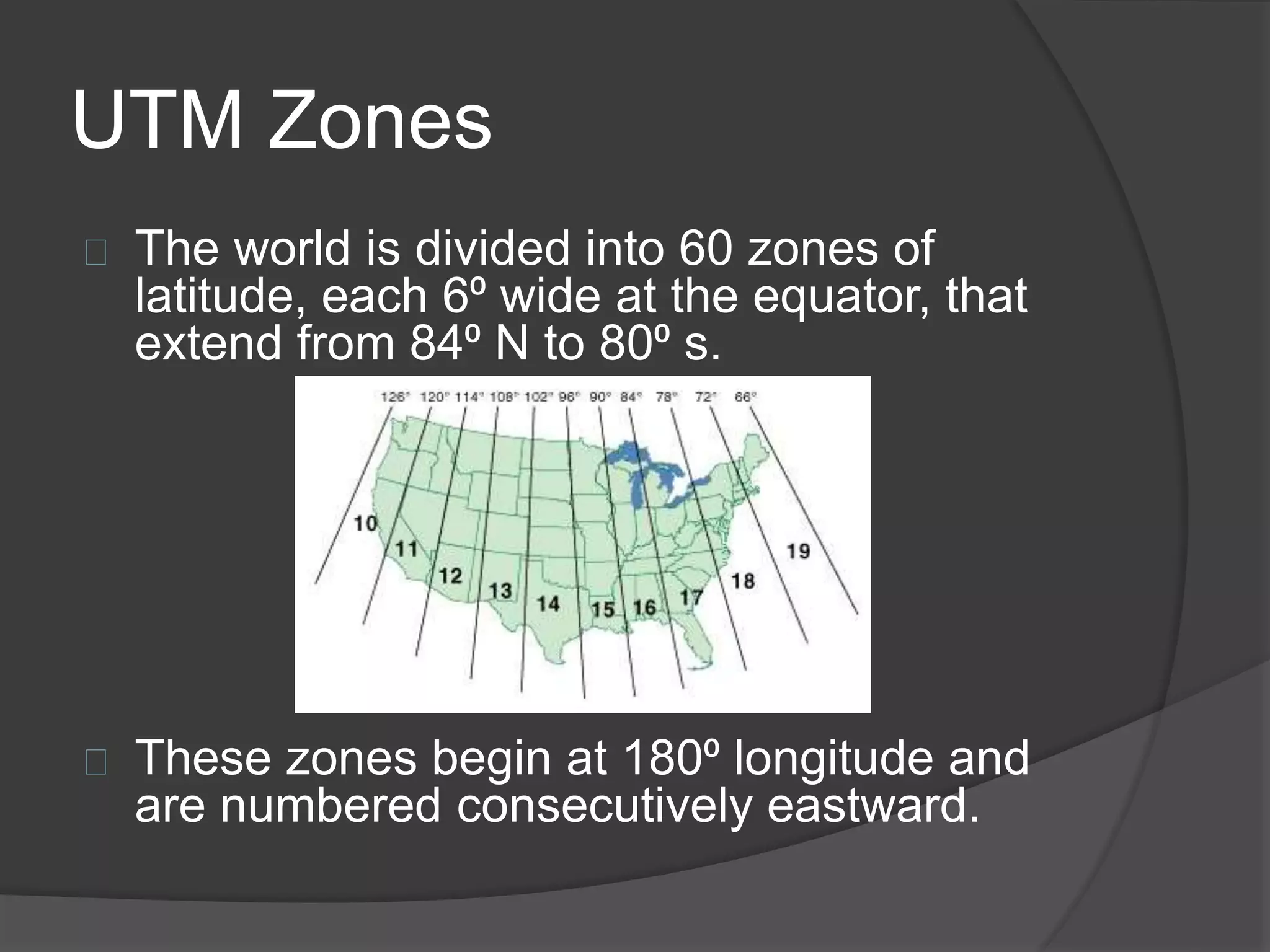
GPS consists of receiver and location components; uses trilateration to determine position in latitude/longitude and UTM.
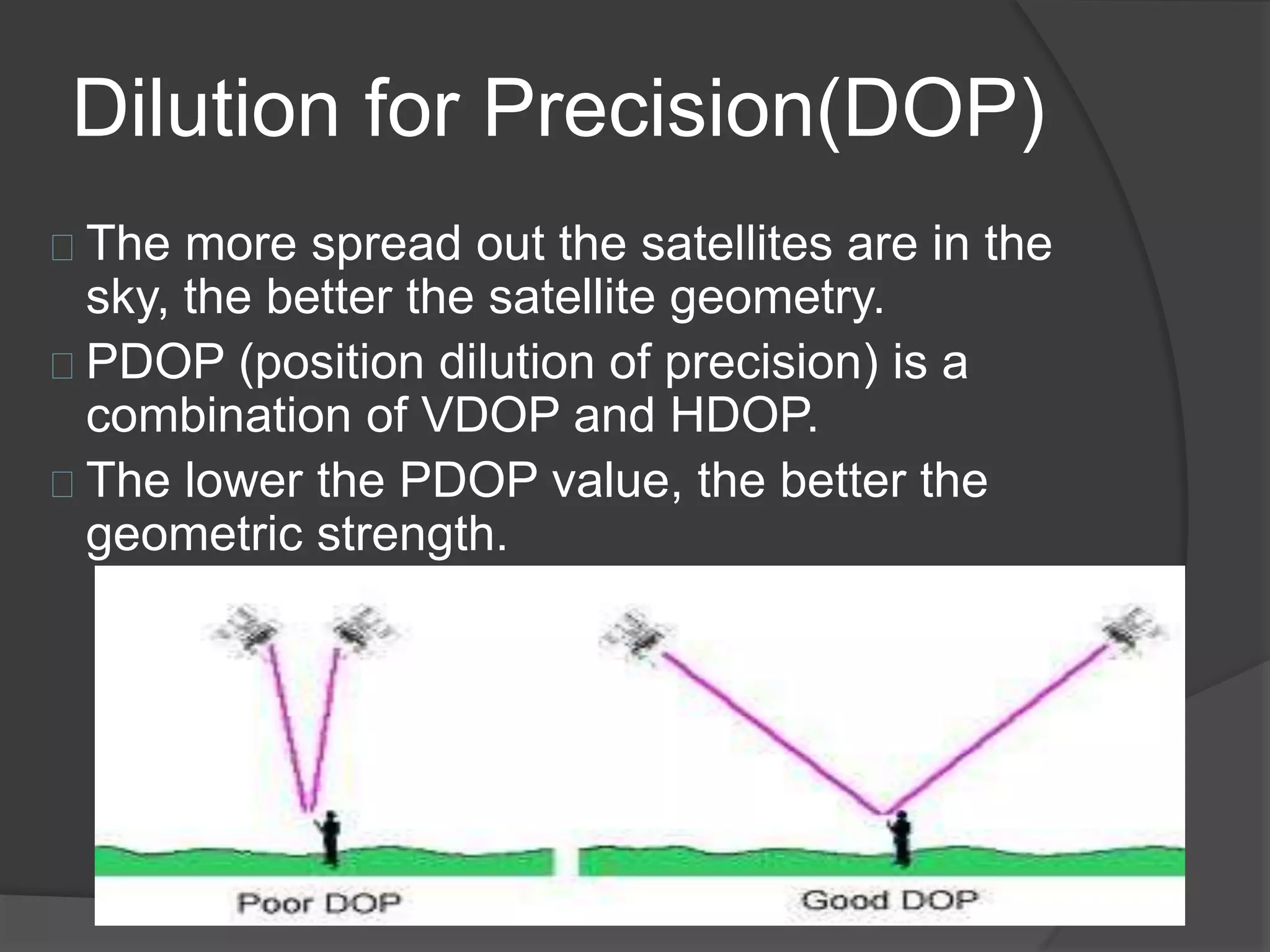
Dilution of Precision (DOP) affecting accuracy; better satellite geometry improves position accuracy.
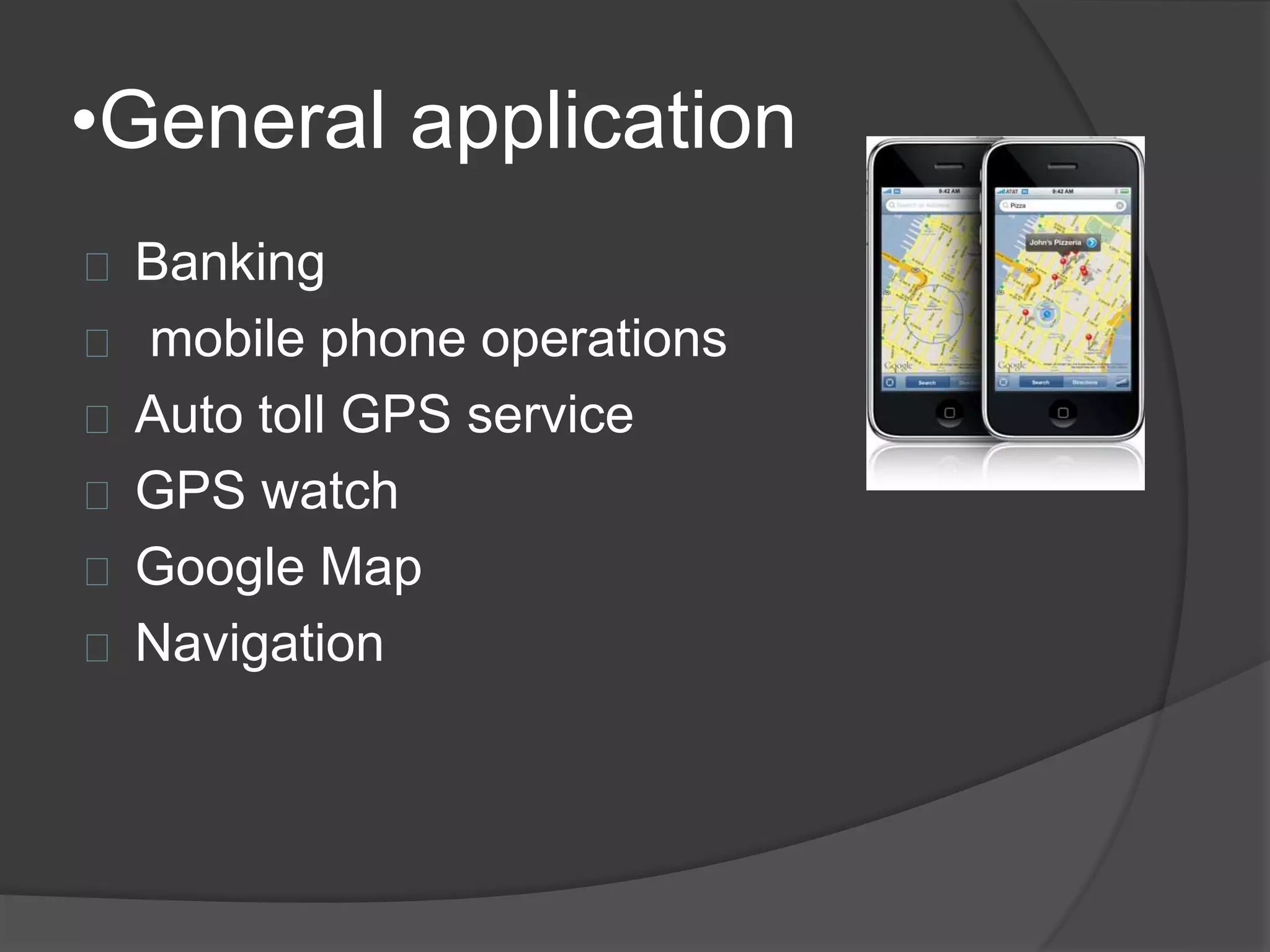
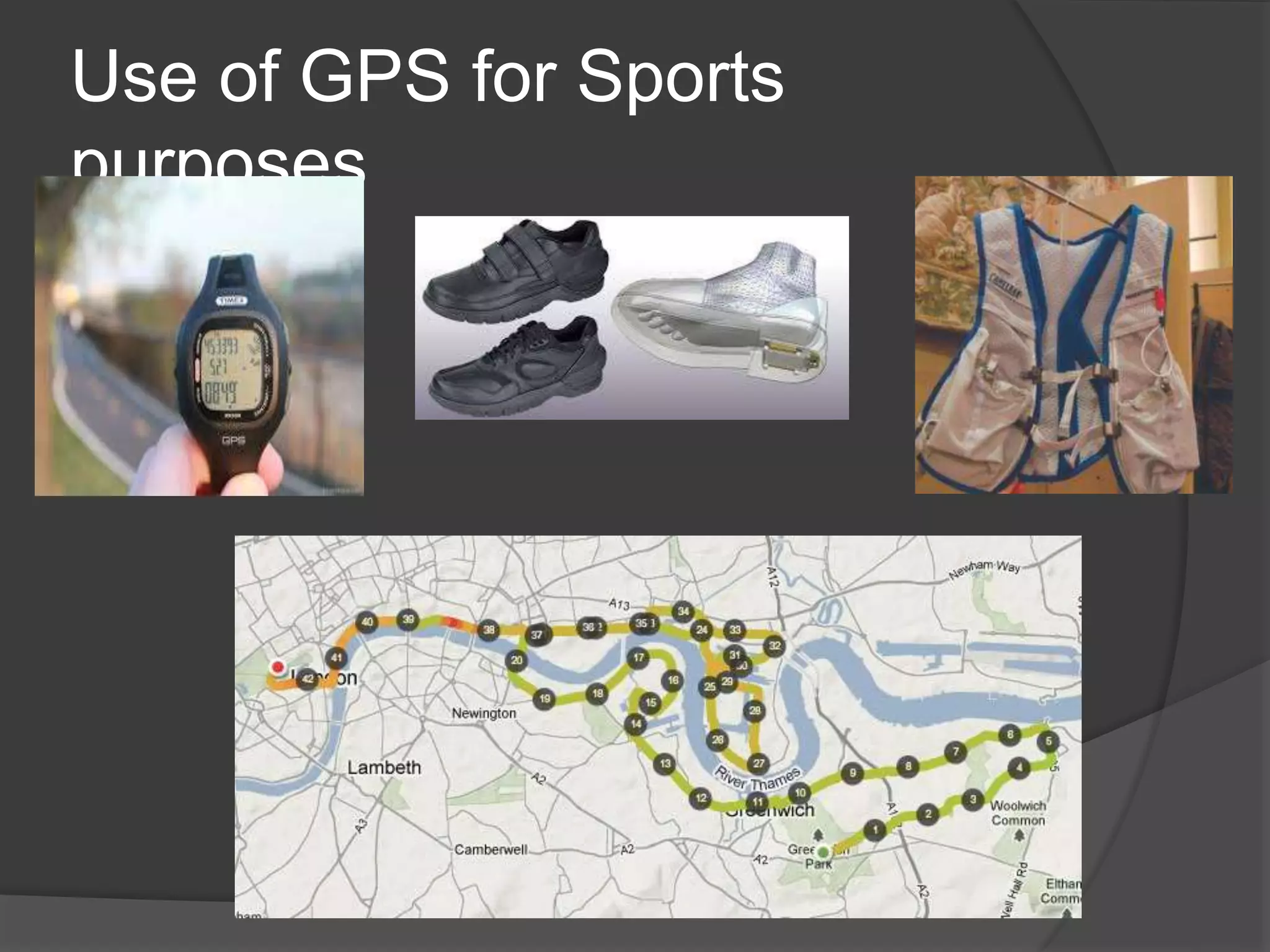
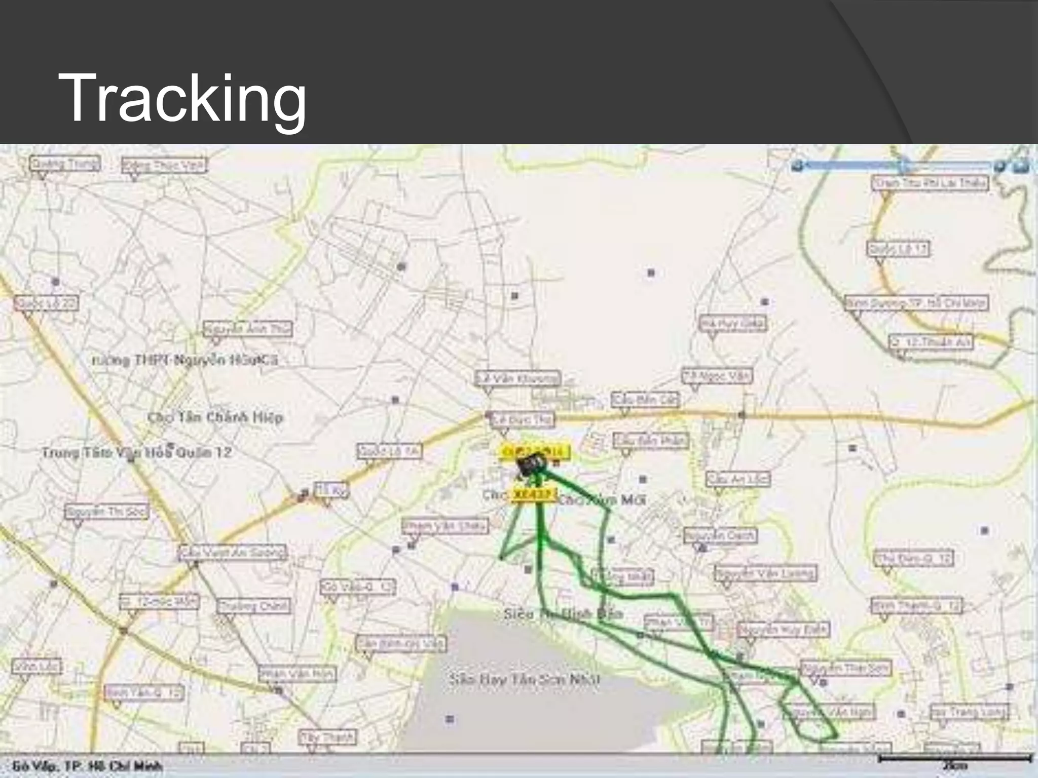
Various applications in banking, navigation, vehicle tracking ('bread crumbing'), route guidance, and real-time tracking.
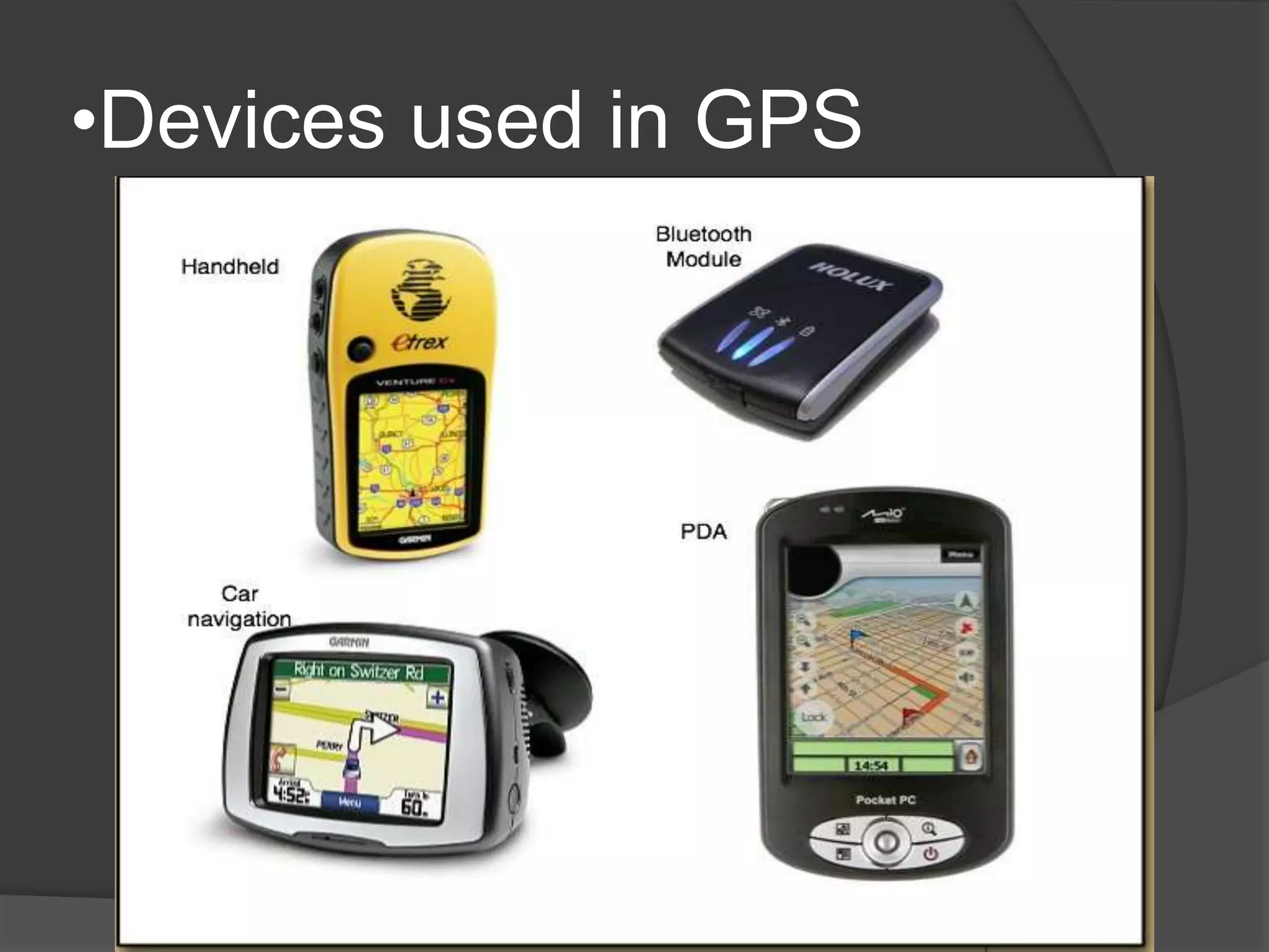
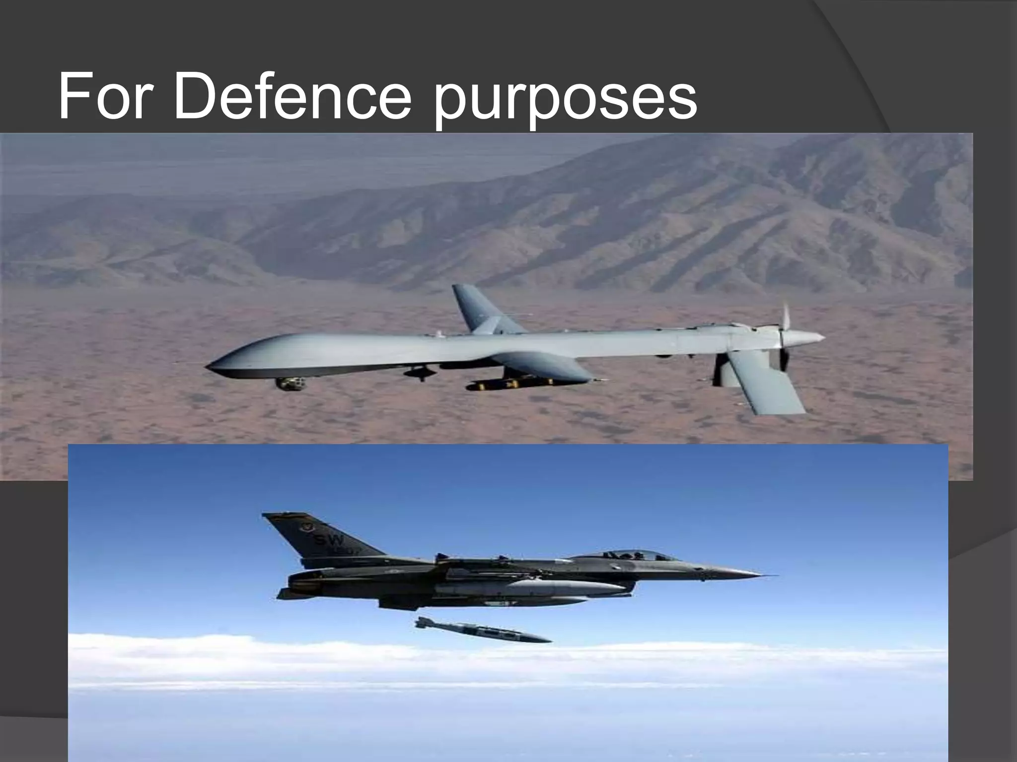
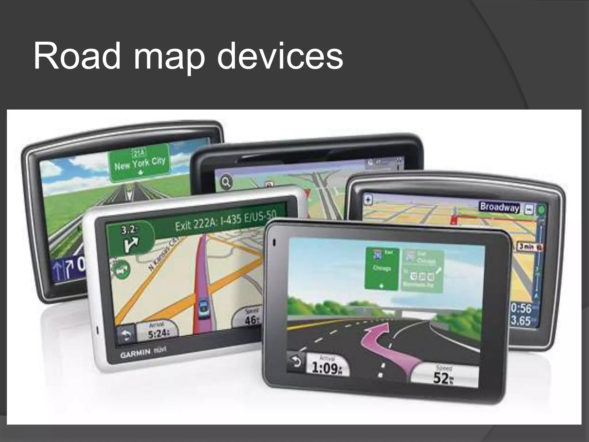
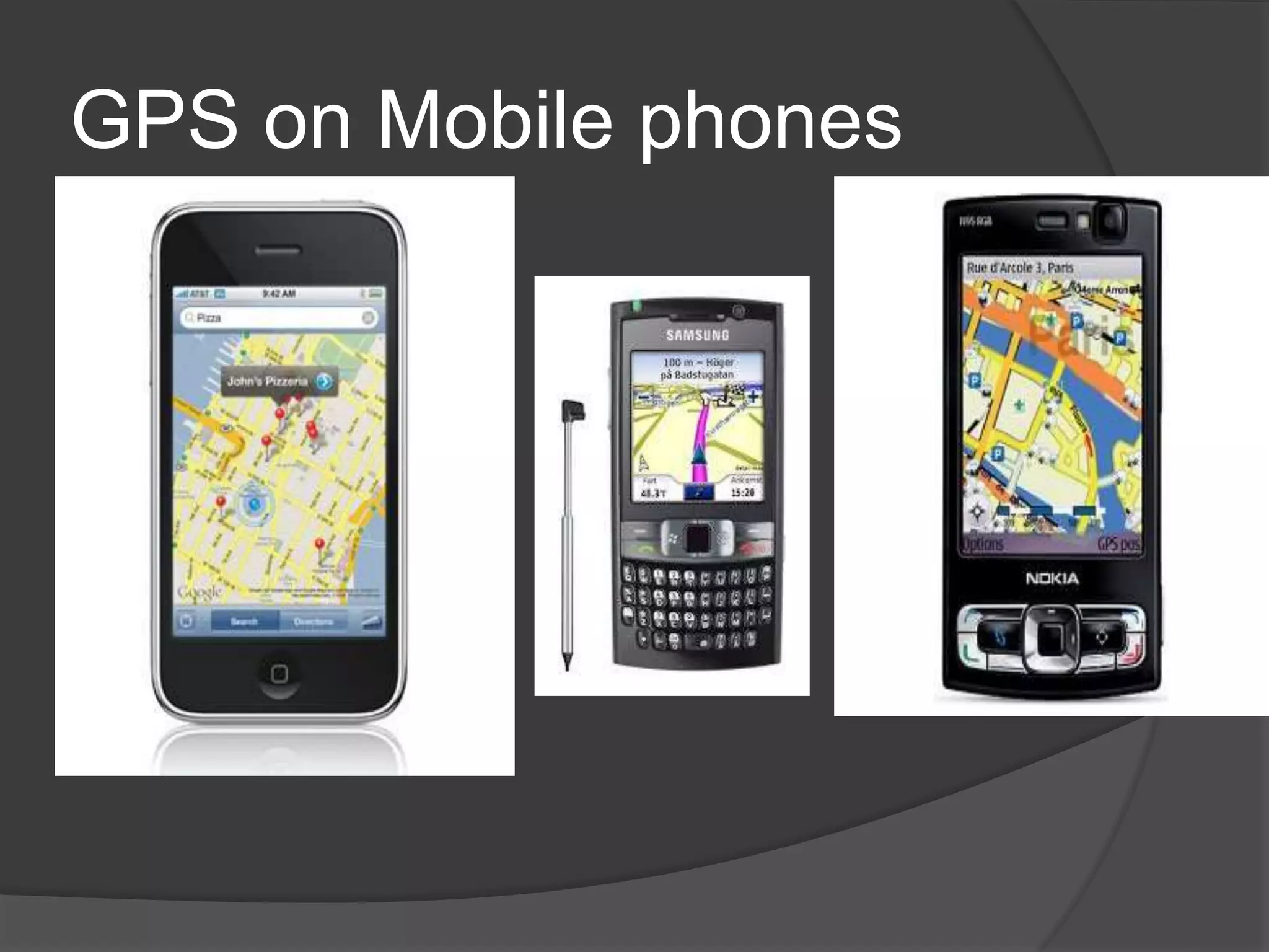
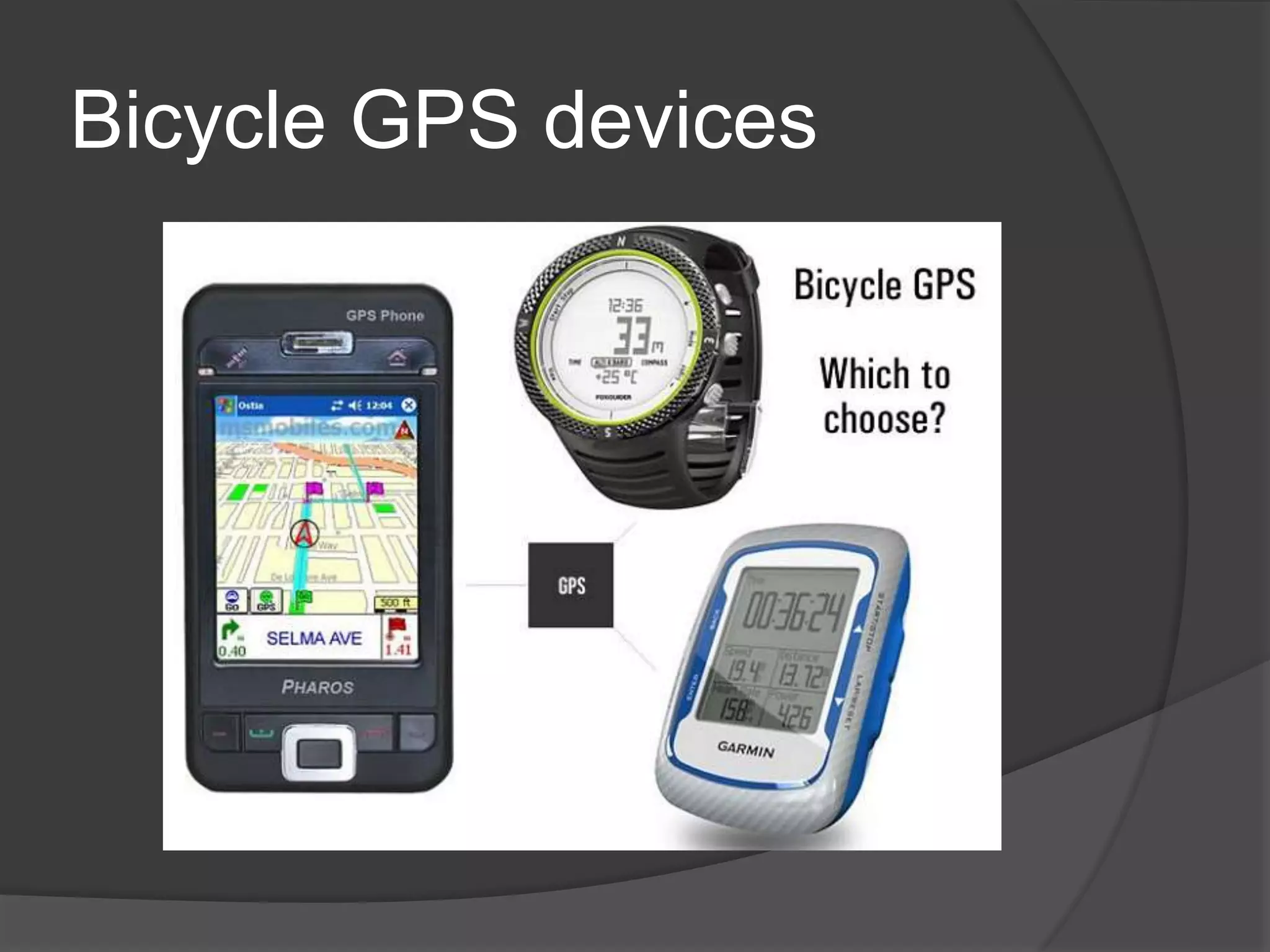
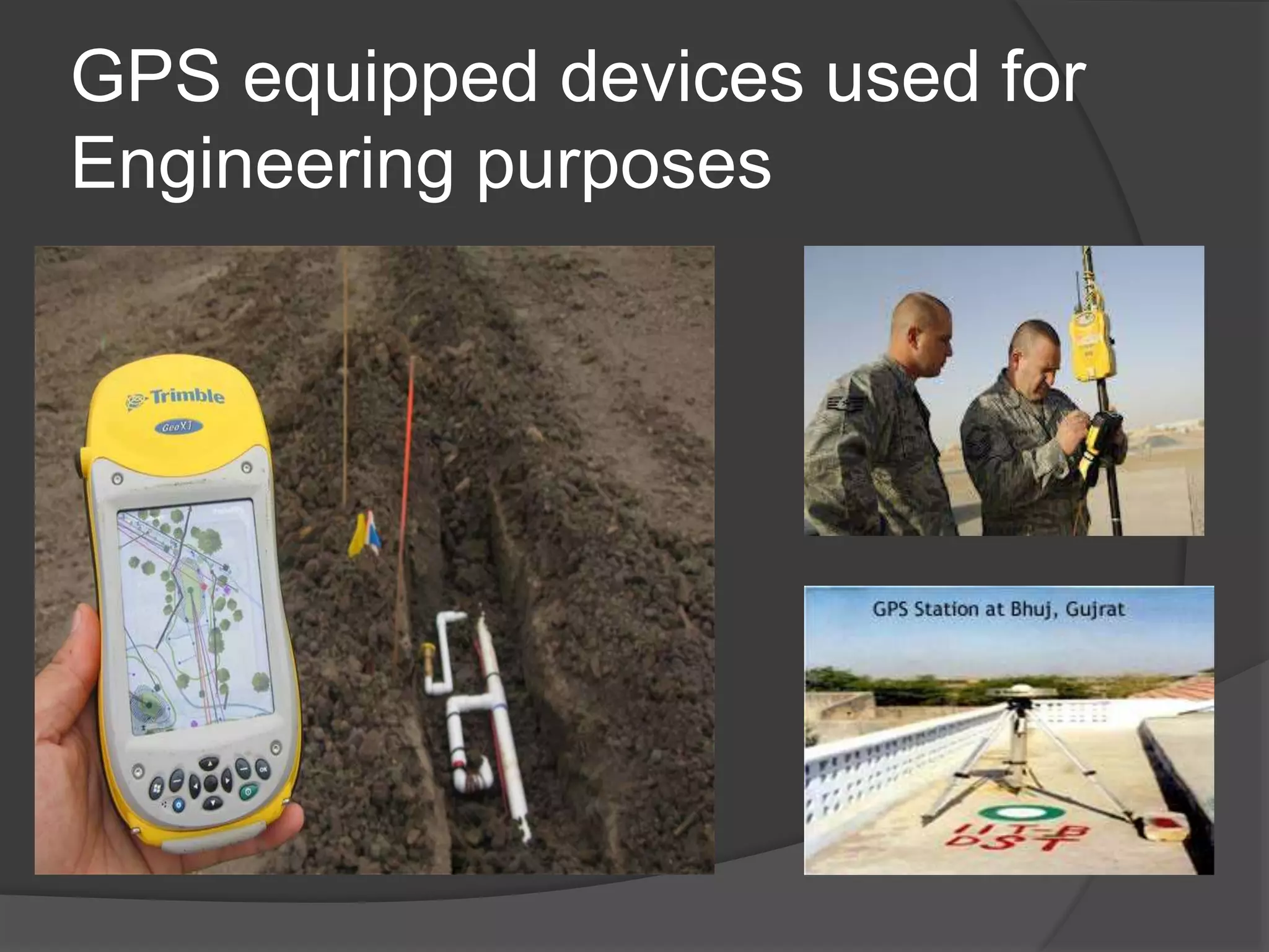
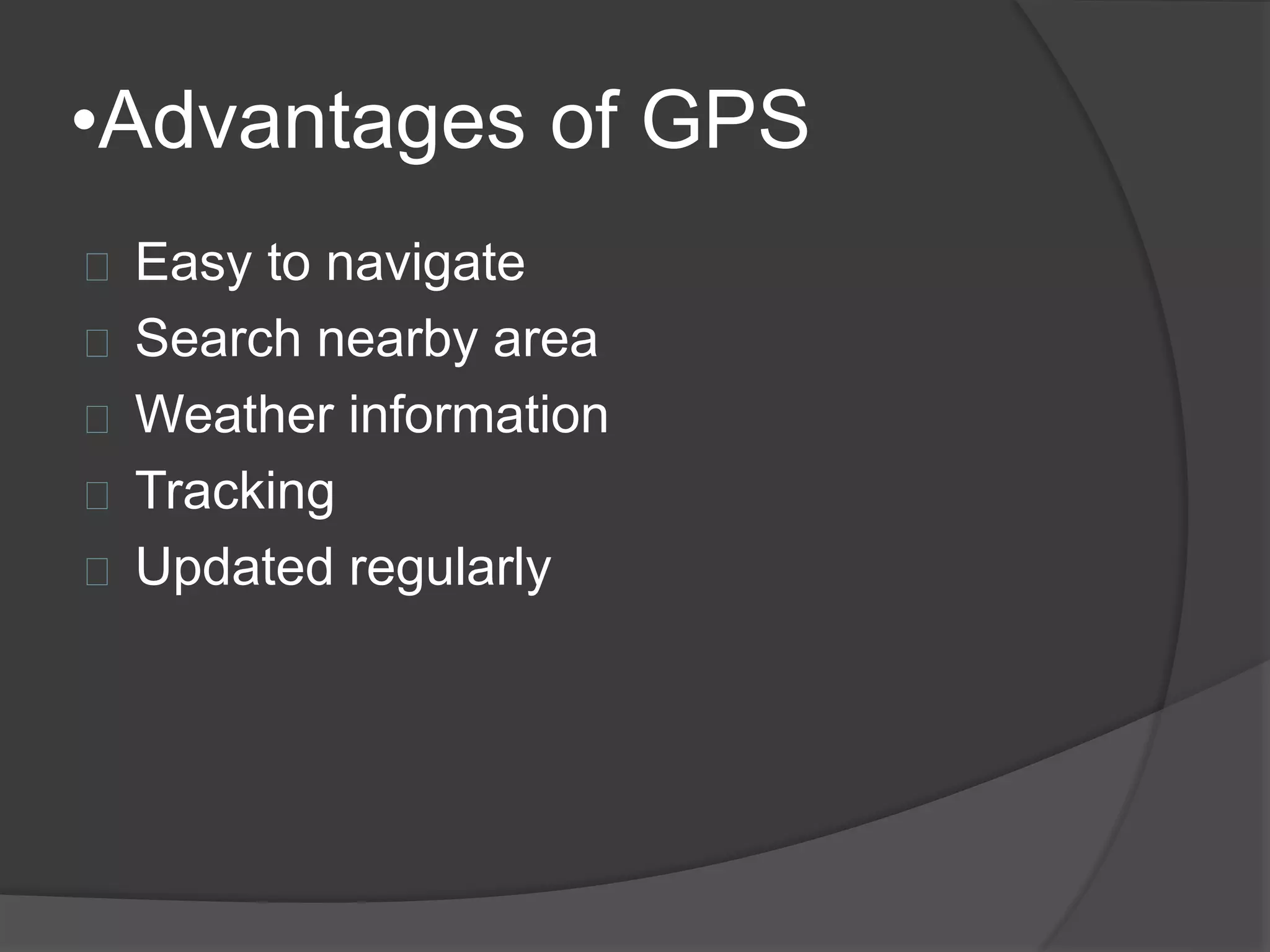
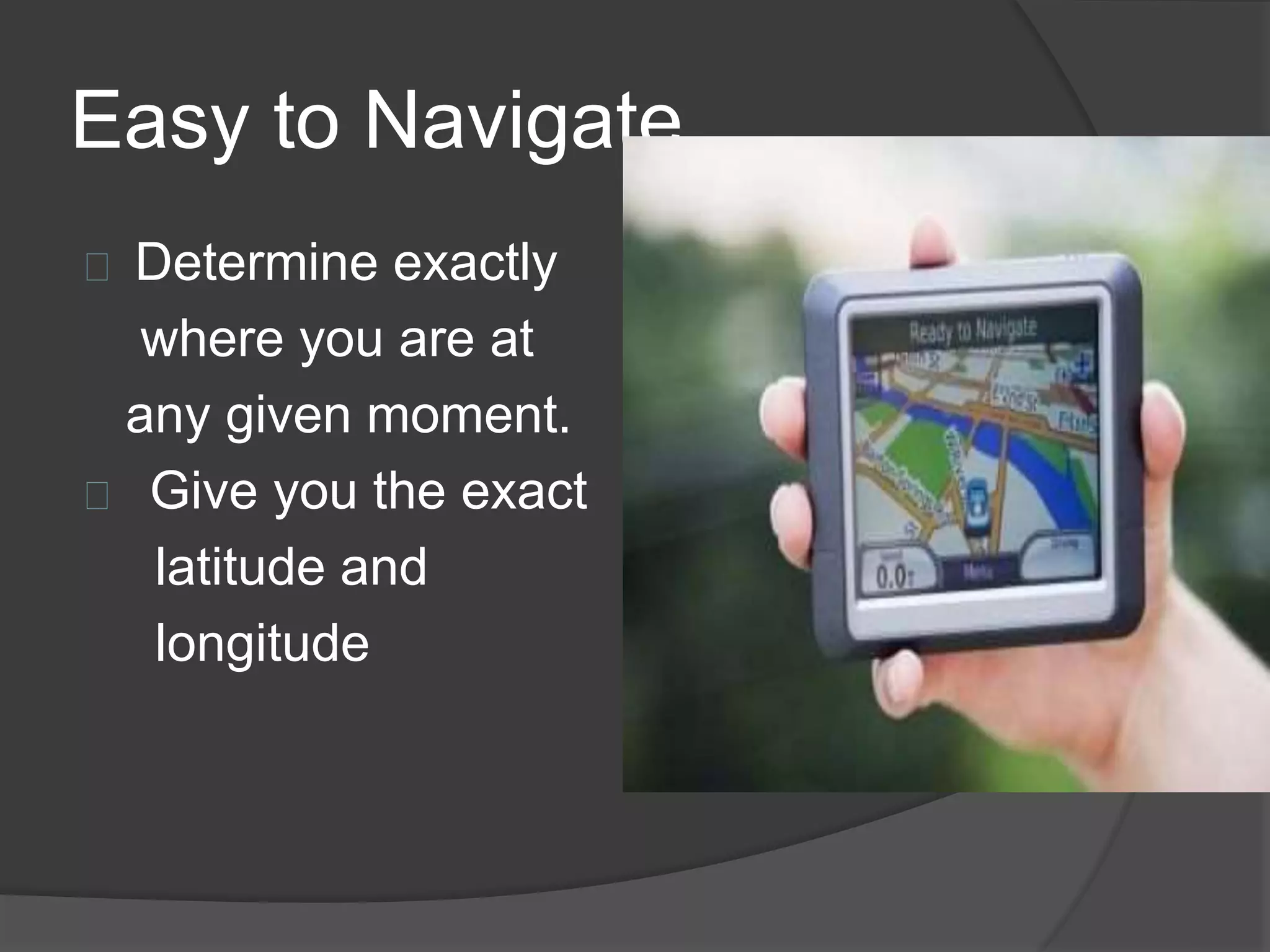
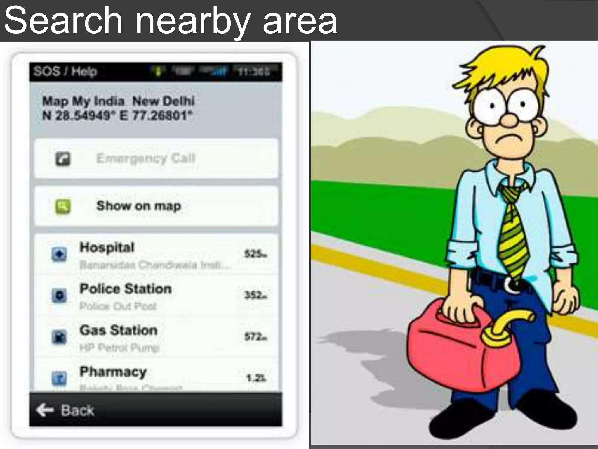
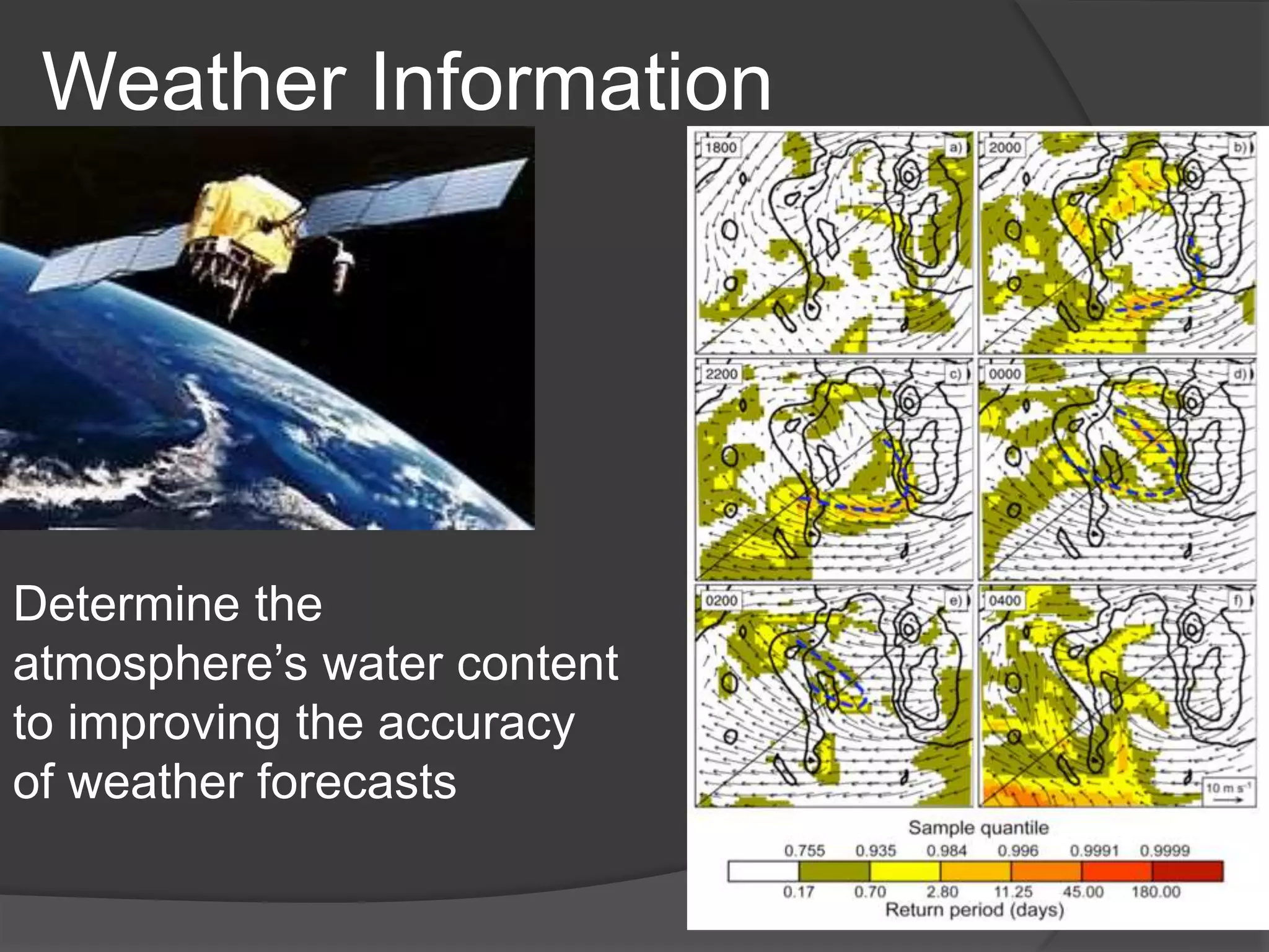
Diverse devices using GPS: military, mobile phones, roadmaps, bicycles, and engineering applications.Benefits include easy navigation, nearby area search, weather information, efficient tracking.
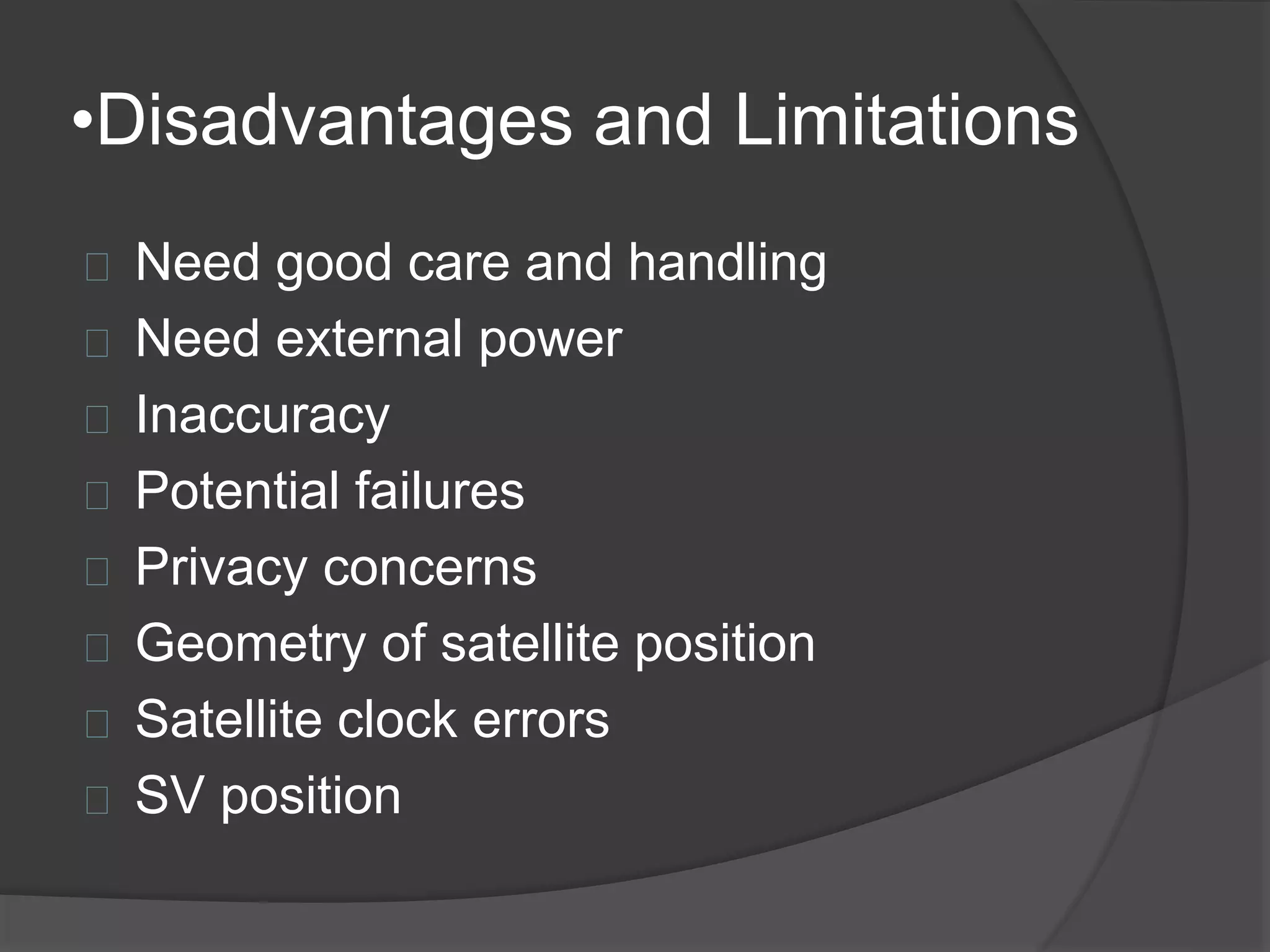
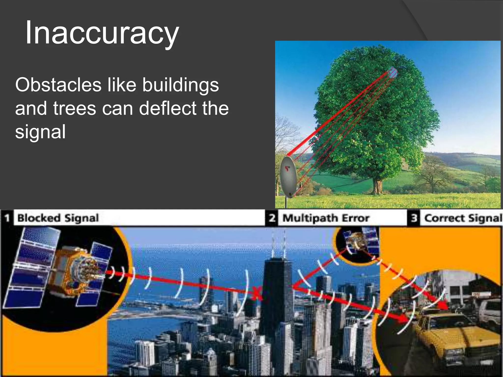
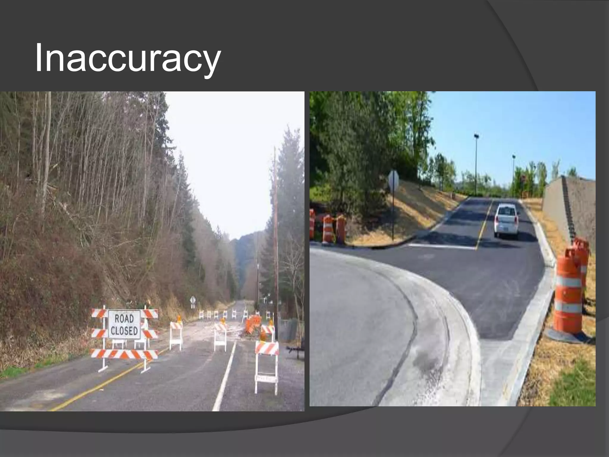
Limitations include need for care, potential for inaccuracies, external power, privacy concerns, and environmental factors.
GPS is essential for navigation despite limitations; accurate and advanced satellite navigation system for military and commercial purposes.
List of references for GPS information, including websites and articles for further reading.
•Contents
Introduction
Whatis GPS?
Components of GPS
Working Principle
Functioning of GPS
General Applications and Devices
Latest Innovations
Advantages
Disadvantages
Conclusion
Bibliography
3.
•Introduction
The currentsystem is managed by the U.S
Air Force for the Department of Defense
(DOD).
The current system became fully
operational June 26, 1993 when the 24th
satellite was lunched.
A minimum of four GPS satellite signals are
required to compute positions in three
dimensions and the time offset in the
receiver clock.
5.
•What is GPS?
Global Positioning System
Space-based satellite navigation system
Provides location and time information
In all weather, anywhere on or near the Earth
Used to refer locations and help if you are
lost.
Secure cars, track your vehicles
By sending SMS, making a missed call,
preset interval or GPS tracking software for
real time online tracking
6.
•Components of GPS
3 segments:
Space segment
Control segment
User segment
8.
Space segment-Information
TheGPS uses a constellation of 24
satellites that orbit the earth at about
11,000 nautical miles, once every 12
hours.
The orbital position is constantly
monitored and updated by the ground
stations.
Each satellite is identified by number
and broadcasts a unique signal.
9.
Space segment cont.
Each satellite has 6 orbits.
3 satellites works for GPS, 4th satellite
work for accuracy.
3 satellites for 2d fix.
Satellite orbital distance 20,000km.
Orbital speed is 14,000km/hr
60 degrees apart and 55 degrees
with respect to equatorial plane.
Use measurement of 4 satellites
•Control Segment
Theground segment of GPS(US) has one master
control, one alternative master control station, 12
command and control antennas and 16 monitoring
sites.
14.
•User Segment
Consistsof GPS receiver.
The receiver collects and processes
signals from the GPS satellites.
Use that information to determine and
display the location, speed, time and so
on.
The accuracy and reliability is enhanced
as the number of visible satellites
increases.
15.
•Working of GPS
Consist of two main components
Receiver
Location
16.
Receiver
The receivercollects satellite signals,
decodes and processes them.
The basic receiver does not include a
transmitter.
Different levels of precision are
available.
The receiver determines its location by
trilateration.
17.
GPS Trilateration
Knowingits distance from
three satellites, the receiver
can determine its location
because there is only
two possible combinations
and one of them is out in space.
In this example, the
receiver is located at b.
The more satellite that are used,
the greater the potential
accuracy of the position location.
18.
Location
Once theGPS receiver has located its
position it is usually displayed in one of
two common formats:
Latitude and longitude
Universal transverse Mercator (UTM).
19.
Latitude and Longitude
Latitudes and longitudes are angles.
Both use the center of the earth as
the vertex, but they use a different
zero reference.
20.
UTM Zones
Theworld is divided into 60 zones of
latitude, each 6⁰ wide at the equator, that
extend from 84⁰ N to 80⁰ s.
These zones begin at 180⁰ longitude and
are numbered consecutively eastward.
21.
Dilution for Precision(DOP)
The more spread out the satellites are in the
sky, the better the satellite geometry.
PDOP (position dilution of precision) is a
combination of VDOP and HDOP.
The lower the PDOP value, the better the
geometric strength.
Vehicle History Trackingor
“Bread Crumbing”
Captures and stores a detailed GPS
history of vehicle travel information.
Gain visibility into field operations for
greater control .
Identify unproductive time in the field to
increase overall productivity.
No need for wireless airtime to transmit
data.
25.
Route Guidance
Reduceunnecessary mileage and fuel
costs by providing accurate driving
directions.
Improve on time performance as drivers
are less likely to get “lost” or follow
inefficient routes.
Reduce vehicle engine idling time as
driver lookup customer locations on
maps.
26.
Real Time Tracking
Improved management of dispatch and
fleet activities.
Increased daily efficiency, productivity
and accountability.
Added security for vehicles.
•Disadvantages and Limitations
Need good care and handling
Need external power
Inaccuracy
Potential failures
Privacy concerns
Geometry of satellite position
Satellite clock errors
SV position
•Conclusion
GPS isvery useful during adventures.
GPS devices are perfect for water navigation.
Though it has some limitation, it does not
considered as a big error.
Because these errors are only nano errors.
GPS is the most advanced, accurate,
commercially available and multi-use satellite
navigation system that has ever been existed.
In military application it is the only system relied
upon in providing data to very expensive guided
weapons.