Download to read offline
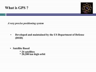


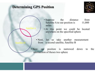
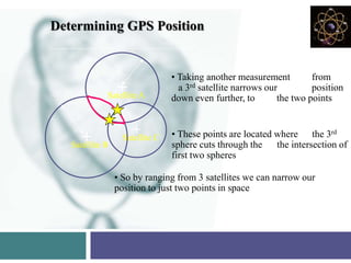


GPS is a satellite-based navigation system that provides precise geographic positioning anywhere in the world. It uses a constellation of 24 satellites in medium Earth orbit that transmit signals allowing GPS receivers to determine their latitude, longitude, and elevation. The system is maintained by the US Department of Defense and provides free and accurate positioning to unlimited civilian users globally. GPS works by precisely measuring the time it takes signals from four or more satellites to reach a GPS receiver, allowing the device to calculate the user's position by triangulating the distances to the satellites. With factors like receiver quality, satellite geometry, and signal processing, positions can be accurate to within a few meters for most applications.


