The document discusses the Global Positioning System (GPS). It provides details on:
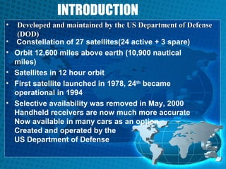
- GPS was developed by the US Department of Defense and uses 27 satellites for positioning.
- It is free, precise, reliable, works in all weather, and has unlimited user capacity.
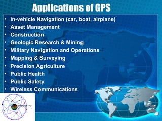
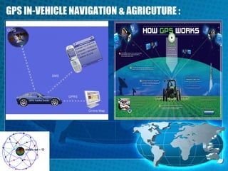
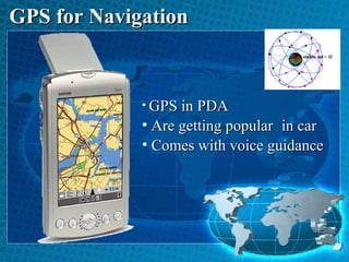
- Common applications include vehicle navigation, asset tracking, mapping, and precision agriculture.
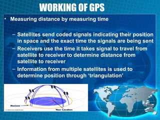
- GPS determines location by measuring the time it takes for signals from multiple satellites to reach a receiver.