Downloaded 144 times
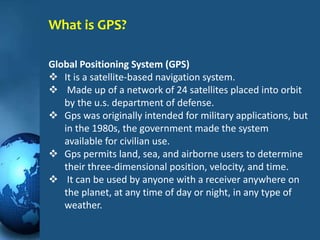


The GPS consists of 3 segments - the space segment of 24 satellites orbiting Earth, the control segment of ground stations monitoring the satellites, and the user segment of GPS receivers. GPS satellites continuously transmit radio signals allowing receivers to calculate their location on Earth by triangulating signals from at least 3 satellites. Originally intended for military use, GPS is now widely used for civilian navigation in vehicles, hiking, boating and more.


!["GPS" Global Positioning System [PDF]](https://cdn.slidesharecdn.com/ss_thumbnails/globalpositioningsystemgpsmainpdf-101105164539-phpapp01-thumbnail.jpg?width=640&height=640&fit=bounds)


