Download as PDF, PPTX

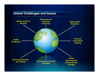
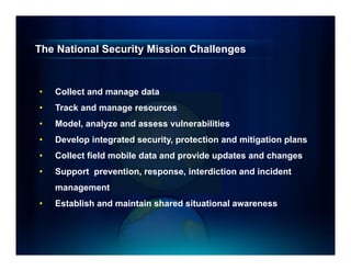
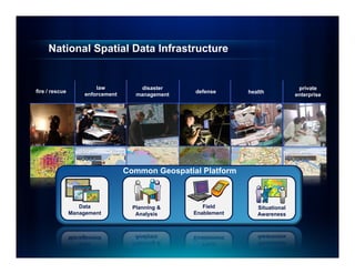

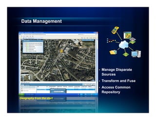
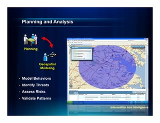
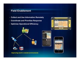
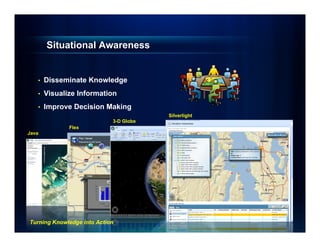
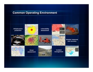

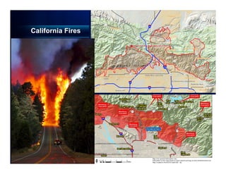

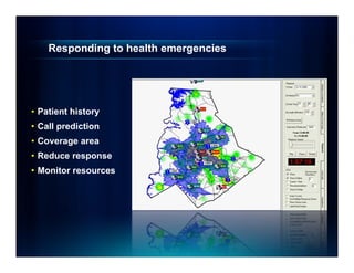
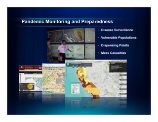
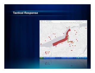
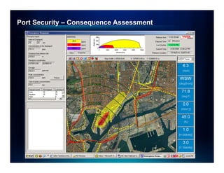
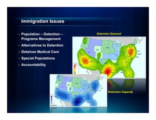
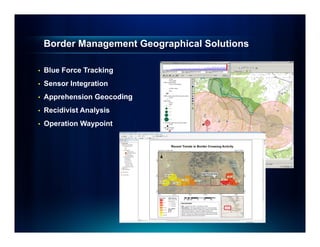
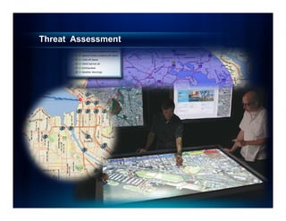
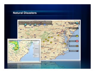
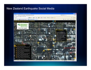
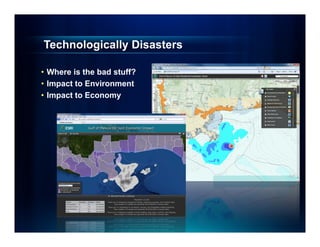
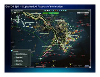

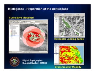

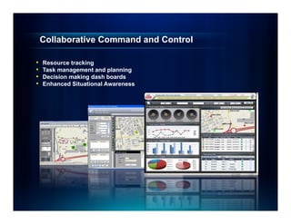


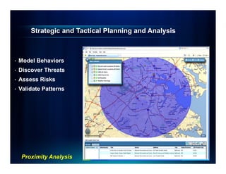
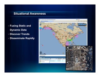
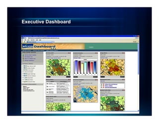
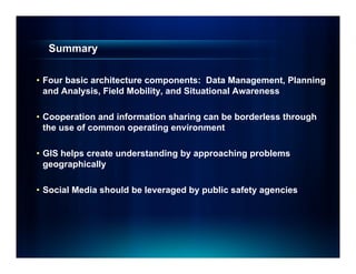


The document discusses how GIS can help address national security challenges through four components: data management, planning and analysis, field mobility, and situational awareness. It provides examples of how GIS has supported responses to issues like wildfires, pandemics, port security, border management, and more. The key advantages highlighted are creating a common operating platform to enable borderless cooperation, approaching problems geographically to foster understanding, and leveraging social media.


