Downloaded 331 times

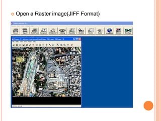

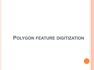

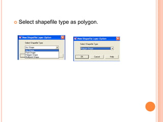
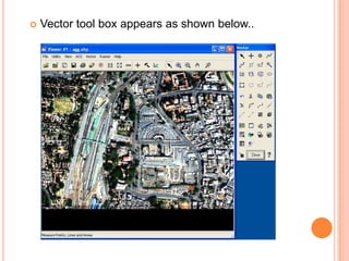


The document discusses digitization using ERDAS software. It explains how to open ERDAS, import a raster image, and create new vector layers as shapefiles to digitize polygon, line, and point features from the raster image. For each feature type, the user selects the shapefile type, uses the vector toolbox to draw the features, and generates an output file depicting only that feature type. It concludes by mentioning the ability to combine all digitized layers.