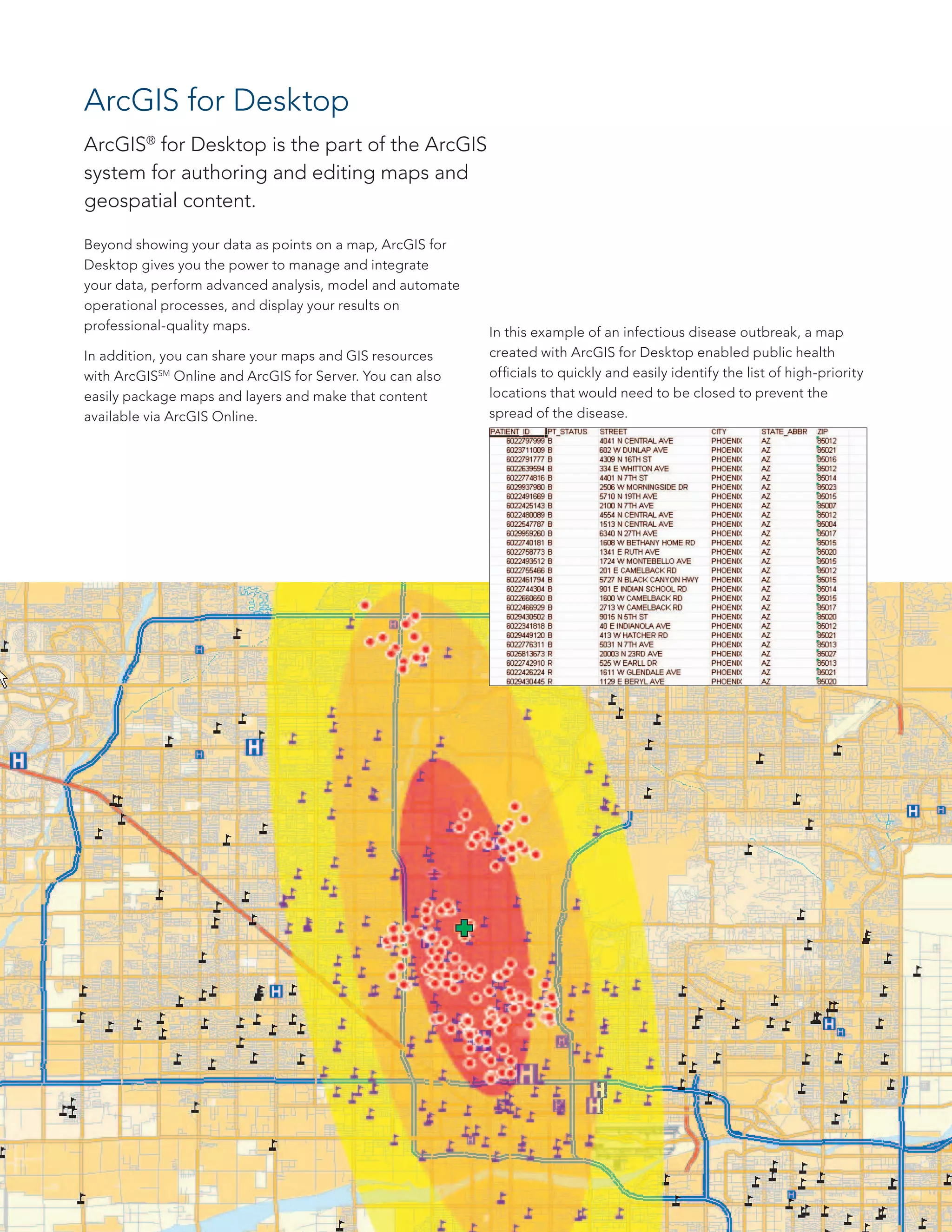
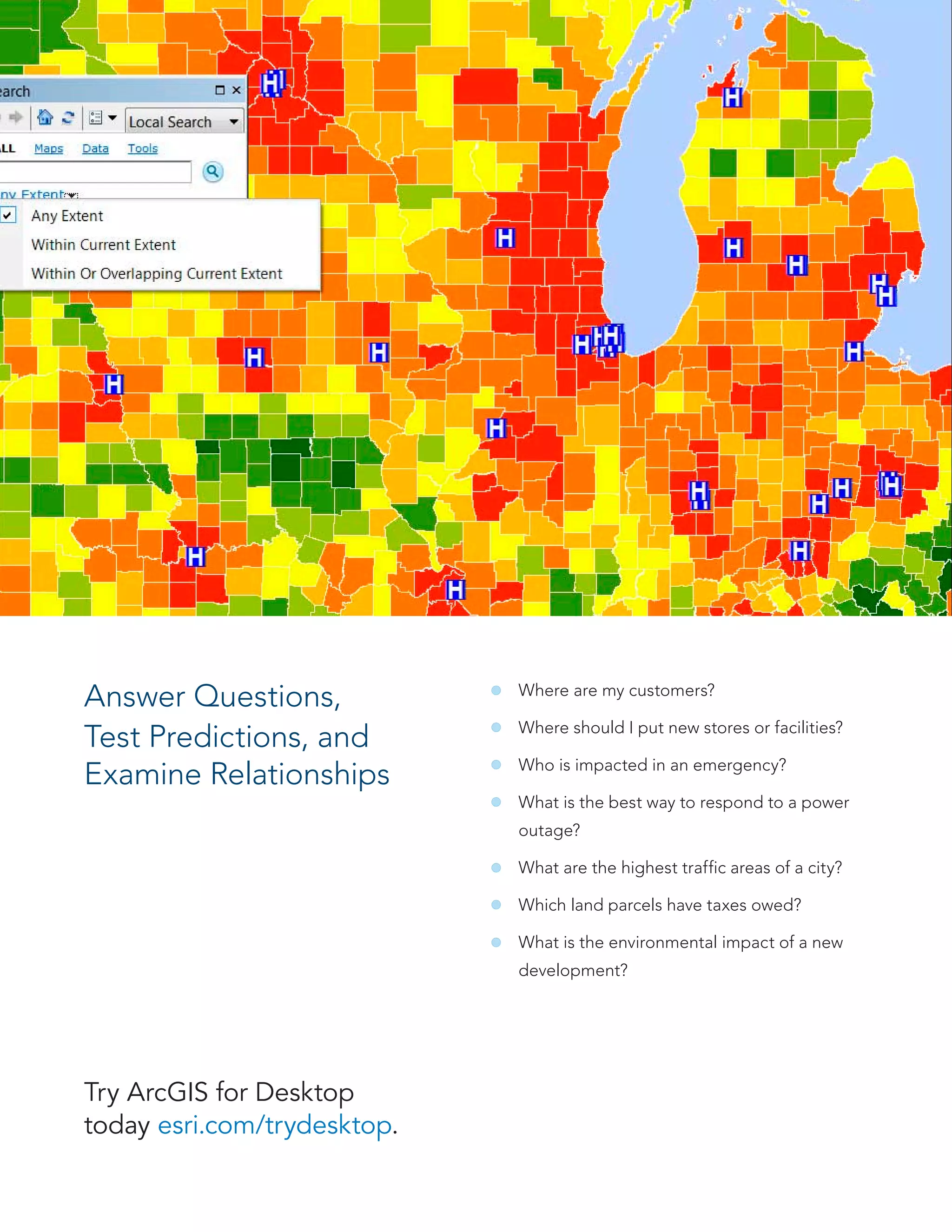
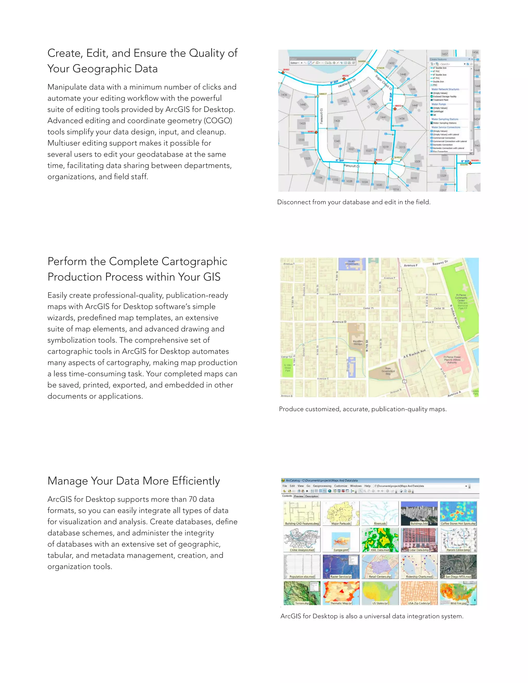
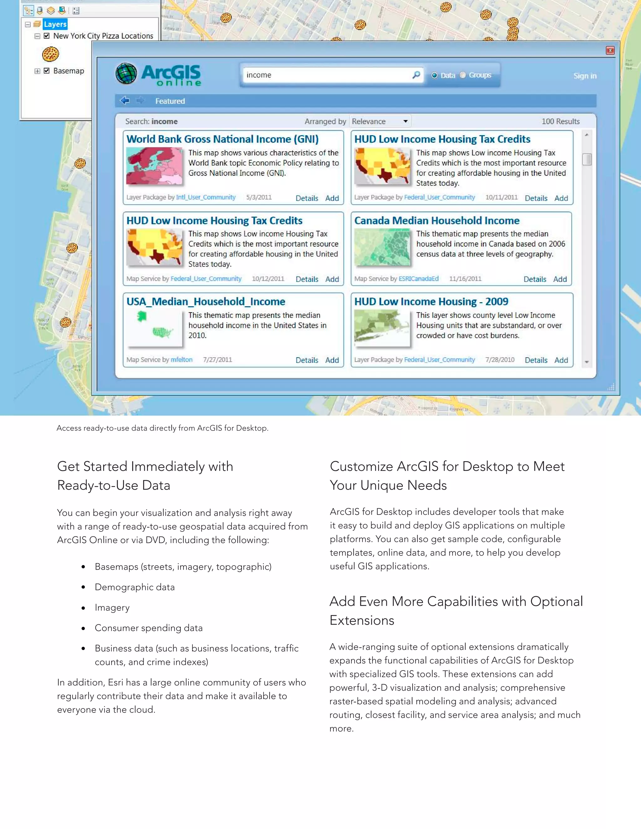

ArcGIS for Desktop is a software that allows users to manage and analyze geospatial data, create maps and perform advanced spatial analysis. It provides tools for data management, cartography, visualization, geoprocessing and custom application development. Optional extensions further expand its analytical capabilities. Ready-to-use geospatial data is also available to help users get started.