Objectives of thechapter
After completed this unit, you will be able to:
Describe Database management systems
Describe Spatial Databases Management
Explain Coordinate systems and map projections
2
3.
3
Database management systems
Introduction:
Alarge, computerized collection of structured data is what we
call a database.
These applications have in common that the amount of data is
usually quite large, but that the data itself has a simple and
regular structure.
consider carefully what the database purpose is, and who will
be its users, Identify the available data sources and define the
format.
This format is usually called the database structure.
A database management system (DBMS) is a software package
that allows the user to set up, use and maintain a database
4.
4
Like A GISallows to set up a GIS application, a DBMS offers
generic functionality for database organization and data handling.
• GIS database comprises spatial or entity or graphical database,
nonspatial or attribute database and a linkage mechanism for
their topology to show the relationship between the spatial data
attribute data for further analysis.
Nonspatial (attribute) data can be stored in any conventional
data bases,
whereas spatial data , which is the dominant data in GIS, should
have the data base which is capable for handling spatial data.
5.
5
Spatial Databases Management
Thereal world is too complex for our immediate and direct
understanding
We create "models" of reality that are intended to have some similarity
with selected aspects of the real world.
Databases are created from these "models" as a fundamental step in
coming to know the nature and status of that reality.
6.
6
A dataset: ahomogeneous collection of data normally describing a
single kind of phenomenon
A database can be thought of as an integrated set of data on a
particular subject. (It is a collection of tables)
Spatial/ Geographic database is simply databases containing
geographic data for a particular area and subject.
Spatial database has a geometry data type
7.
Geographic database tablesare distinguished from non-geographic tables by
the presence of a geometry column (often called the shape column).
Geometry Column
No Geographic column
7
8.
8
GIS and databases
GIS-----which compiles, stores, manipulates, analyses,
models and visualizes spatial data, to solve planning and
management problems” (Christiansen, 1998 )
Database like a GIS, is a software package capable of
storing and manipulating data
Database is good for
storing large quantities of data,
multiple users at the same time,
data integrity
system crash recovery and
easy to use data manipulation language.
9.
9
Cont...
GIS is operateon more of in spatial data, and allows all sorts of analysis
that are inherently geographic in nature.
GIS---combine in various ways for the representations of geographic
phenomena
It has an embedded ‘understanding’ of geographic space and equipment
for efficient map production
Databases mostly lack this type of understanding.
GIS lack full-fledged query language to operate on tabular data
Databases is used for handling tabular data
10.
10
Cont...
The two, however,are growing towards each other
Databases, likewise, have moved towards GIS and many of
them
Now adays allow storing spatial data also in different ways.
The DBMS approach to storing geographic data offers a
number of advantages and disadvantages over traditional
file based datasets
11.
11
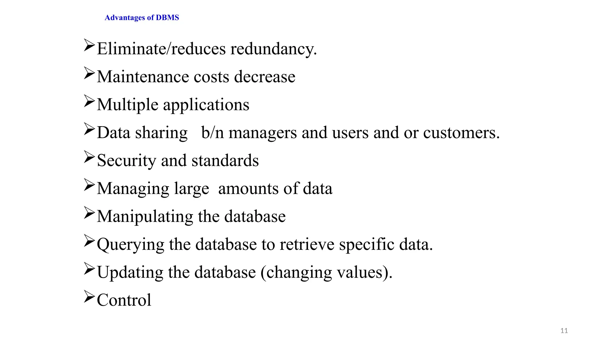
Advantages of DBMS
Eliminate/reducesredundancy.
Maintenance costs decrease
Multiple applications
Data sharing b/n managers and users and or customers.
Security and standards
Managing large amounts of data
Manipulating the database
Querying the database to retrieve specific data.
Updating the database (changing values).
Control
12.
12
Disadvantages
The cost ofacquiring DBMS software can be quite high.
A DBMS adds complexity to the problem of managing
data, especially in small projects.
For ‘small’ data sets:
Spread sheets,
Text files
Or even hardcopies
13.
Generally speaking, aDBMS :
Supports the storage and manipulation of very large data sets
Can be instructed to guard over data correctness
Support the concurrent use of the same data set by many users
Provides a high-level, declarative query languages
Supports the use of data model
Includes data backup and recovery functions to ensure data
availability at all times
Allows the control of data redundancy
13
14.
Terminology in spatialdatabases
The main terms are: geographic object, theme and map.
1. Geographic Objects:
The major objects to be considered at a conceptual level are
geographic objects.
A geographic object corresponds to an entity of the real world and
has two components.
i. Description
ii. Spatial component
14
15.
2. Theme
A themeis a collection of geographic objects. :
In a GIS, the geospatial information corresponding to a particular topic is gathered in
a theme.
Rivers, cities, and countries are examples of themes
A theme is hence a set of homogeneous geographic objects (i.e., objects having the
same structure or type).
3.Maps
When a theme is displayed on paper or on-screen, what the user sees is a map as it is
commonly displayed, with colours, a particular scale, a legend, and so on.
Topographic maps, railway maps, and weather maps are examples of maps
commonly used.
15
Characteristics of Spatialdatabase
A spatial database is characterized by the following:
Contemporaneous - should contain information of the same season for
all its measured variables
As detailed as necessary for the intended applications
Positionally accurate
Exactly compatible with other information that may be overlain with it
Internally accurate, describe the nature of phenomena without
significant error
Readily updated on a regular schedule
Accessible to whoever needs it
Spatial Data Integrity
Spatial Data Indexing and Access Method
Long Transaction Management
17
18.
18
Concept and typesof Coordinate Systems
What is Coordinate System?
A coordinate system is a method for identifying the
location of a point on the earth.
Coordinate System is a means for identifying the location of
a point on a spherical or planimetric map.
Type of Coordinate System
1. Geographic coordinates
2. Projected coordinates
19.
19
Geographic/spherical grid coordinatesystem
It uses a 3D spherical surface to define locations on the earth.
The spherical grid system uses simple geometry and sets two sets of imaginary
lines (Parallels and Meridians) around the earth.
With this system we can then describe the locations of any of the objects we
wish to describe.
The position of any point is defined by the intersection of both imaginary lines.
PARALLELS circle the globe from east to west (Latitude)
MERIDIANS are drawn from pole to pole (Longitude)
22
X represents theLongitude coordinate and
Y represents the Latitude coordinates
23.
23
Cont...
Latitude and longitudeare measured in degree, minutes
and seconds.
1 full circle= 360° (degrees)
1° = 60' (minutes)
1' = 60" (seconds)
For example:
The latitude 41° 27 minutes (‘) and 41 seconds (‘‘) north
=(41° 27´ 41´´N)
To transfer geographic coordinates into decimal degrees
you can use the following calculation:
• Decimal degrees = Degrees + Minutes/60 +
Seconds/3600
24.
24
Projected or CartesianCoordinate System
Reference systems, called rectangular coordinates or
plane coordinates, allow us to locate objects correctly on
flat maps (Two-dimensional 2D maps projected from
reference globe)
The basic rectangular coordinate system consists of two
lines: Abscissa (X-coordinates) & Ordinate (Y-
coordinates):
25.
25
Cont...
Together the Xand Y coordinates allow us to locate any
point or feature by combining the values of X and Y.
By tradition, when reading maps using rectangular
coordinates, we give the X value first and the Y value
second.
26.
26
Map Projection
A mapprojection is a method for mapping spatial
patterns on a curved surface (the Earth’s surface) to a flat
surface
It is is a mathematical model for conversion of locations
from a 3D earth surface to a 2D map representation.
Representing the earth’s surface in 2D causes distortion
in the shape, area, distance, or direction of the data
27.
27
Cont...
It is theorderly transfer of positions of places on the
surface of the earth to corresponding points on a flat
map.
Is the systematic arrangement of the earth’s parallels
and meridians onto a plane surface.
Uses mathematical formulas to relate spherical
coordinates on the globe to flat, planar coordinates.
28.
28
Map Projection -the transformation of a
curved earth to a flat map (3D to 2D)
Parallels and meridians used as a base on
which to draw a map on a flat surface
29.
29
Why do weneed a projection?
Creating maps
We must choose an appropriate projection for the map to
communicate effectively
Part of good cartographic design
Sharing/receiving geographic data
Along with datum, coordinate system, we must know the map
projection in which the data are stored.
Then we’re able to overlay maps from originally different projections
30.
30
Types of MapProjection
There are different types of map projection systems which
are appropriate for different areas and applications.
31.
31
(Azimutal) Planar orpolar projection
Surface of globe is projected onto a plane tangent at
only one point
Used frequently at N or S pole
Usually only one hemisphere shown (centered on N or
S pole)
For example: Lambert Azimuthal Equal Area
32.
32
Conic projection
Analogous towrapping a sheet of paper around the earth
in a cone
Normally shows just one semi-hemisphere in middle
latitudes.
Very popular for maps of East-West oriented land masses
Example: Lambert Conformal Conic
33.
33
Cylindrical projection
It correspondsto projecting the Earth's surface onto a
cylinder tangent to the equator.
Low distortion at equator, higher distortion approaching
poles
a good choice for use in equatorial and tropical regions,
e.g., Ecuador, Kenya, Ethiopia, Malaysia
For example: Mercator projection
34.
34
Distortions Caused byMap Projections
All projection types have distortions in:
Shape
Area
Distance
Direction
Angle
Hence no perfect map projection can be defined.
Therefore, a suitable projection to be selected by
considering the purpose of the map and properties of
projections
Editor's Notes
#6 A spatial database supports special data types for geometric objects and allows you to store geometric data (usually of a geographic nature) in tables while a non-spatial database doesn't support such
#8 Data integrity refers to the accuracy and consistency (validity) of data over its lifecycle
#11 Security and standards for data and data access can be established and enforced.
#14 What is Geographic Objects? Definition of Geographic Objects: Whereas features are in the real word (mountain, river, church, etc.)
Geographical Object Types. The majority of phenomena or features which we wish to represent in
#17 Data integration - combining spatial data with other data
Long Transaction Management
#23 1 degree equal to 60 minutes,1 ° equals 3,600.00,