Download to read offline
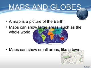
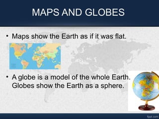
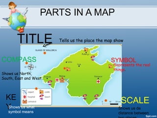
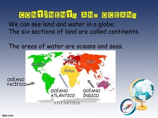
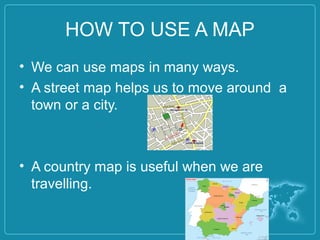
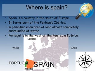
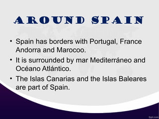

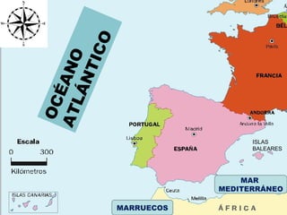

This document discusses maps and globes. It explains that maps show areas of land and water like continents and oceans. Maps can depict large or small areas, and use symbols, keys, scales and compass roses to help orient and interpret locations. Globes also show the Earth's land and water bodies, but depict the planet as a sphere. The document then gives Spain as an example, noting its location in Europe on the Iberian Peninsula with borders to Portugal, France and Morocco, and surrounded by seas.