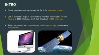
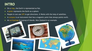
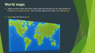
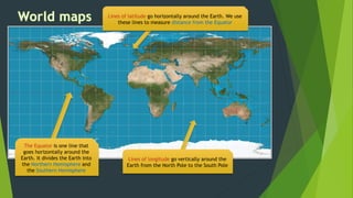
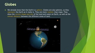
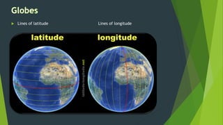
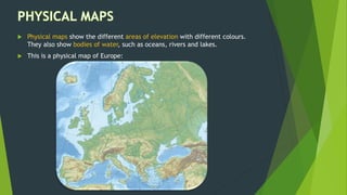
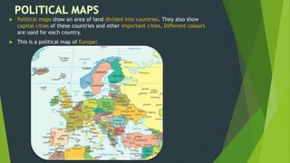
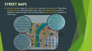
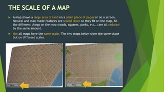
People have been making maps for thousands of years to represent the Earth. The oldest known map dates back 14,000 years. Today, mapmakers use technology like computers and satellites to create precise maps. Maps represent the Earth as flat while globes show it as a spherical object. Various tools like compasses and GPS have helped with navigation. Maps come in different types, such as physical, political and street maps, and use symbols, colors and scale to show natural and man-made features of an area.