Downloaded 794 times


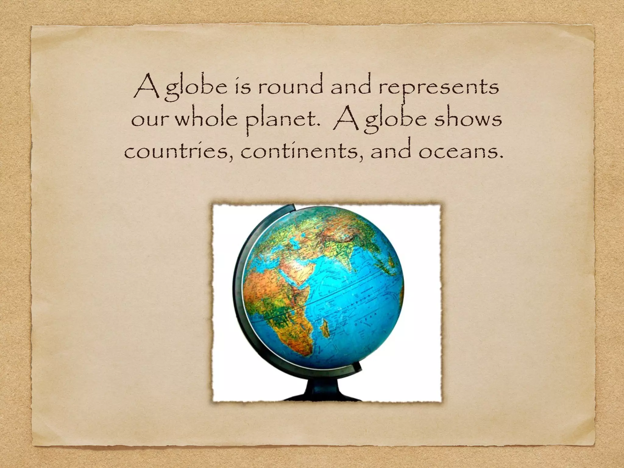


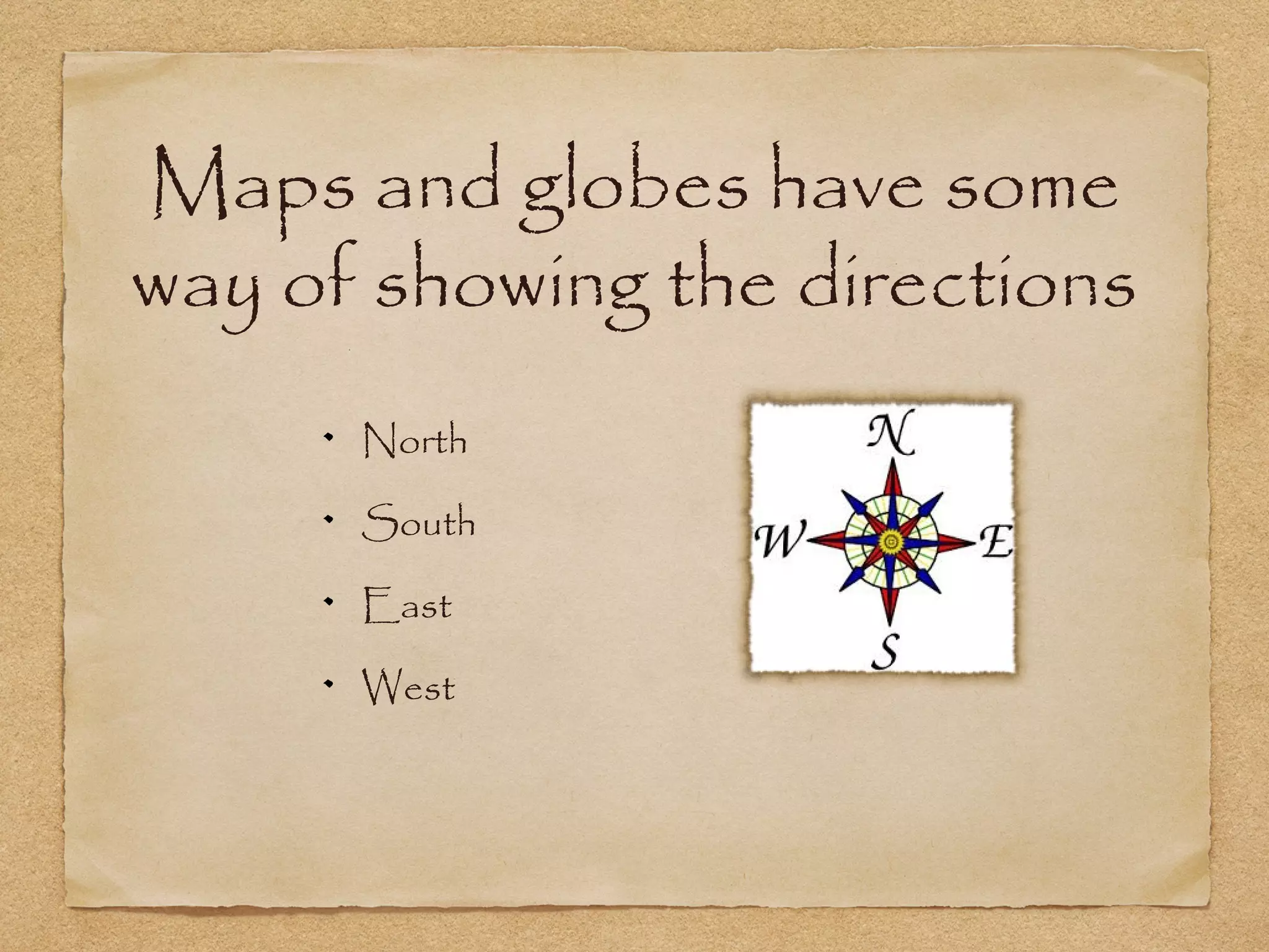


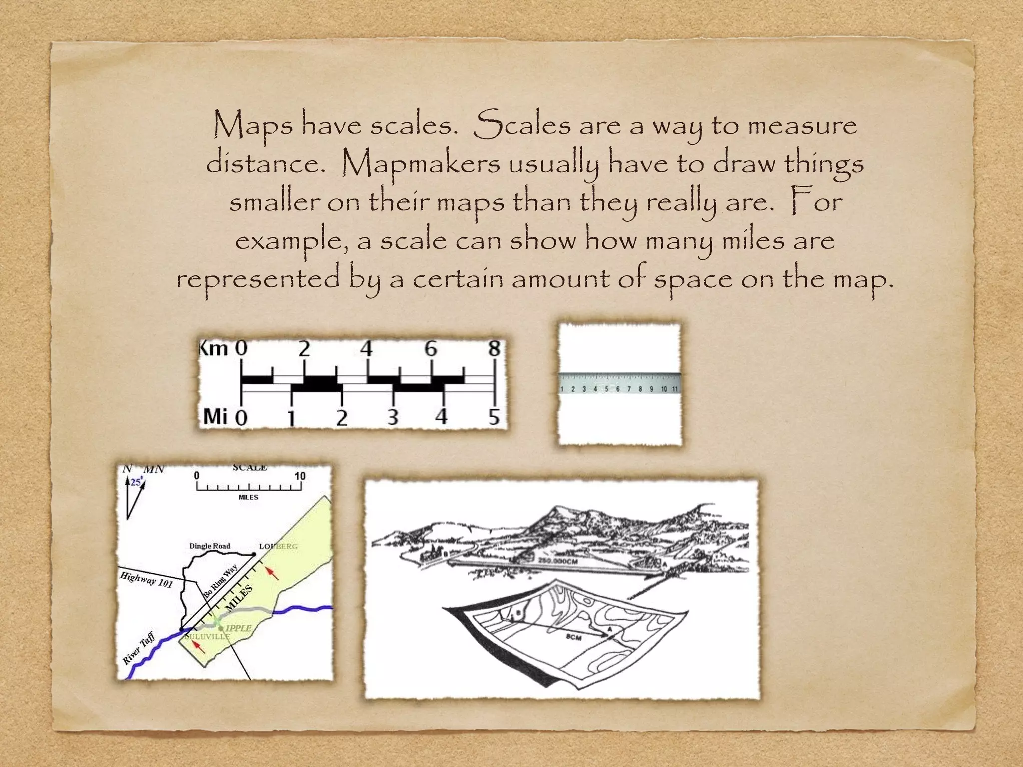


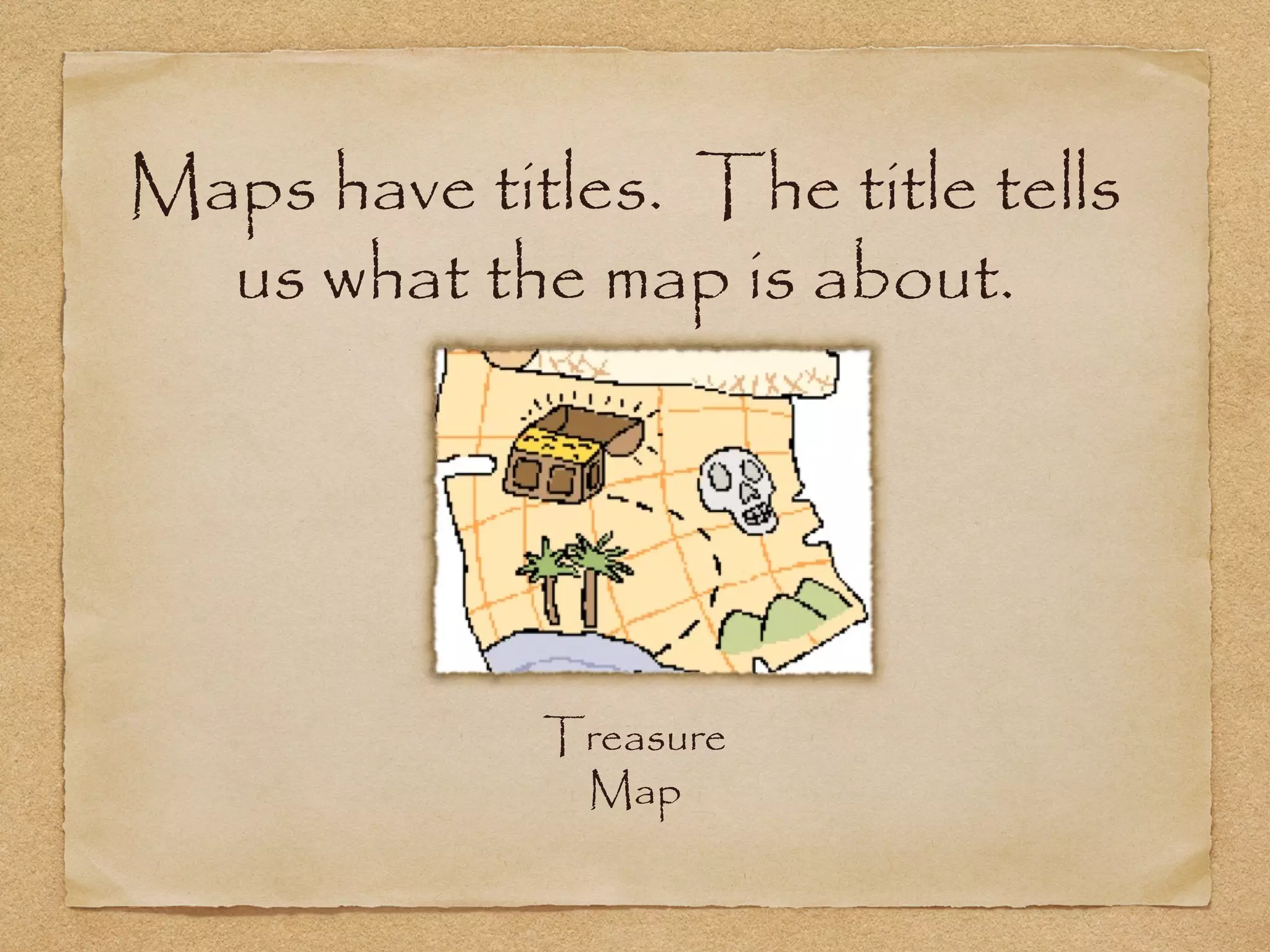


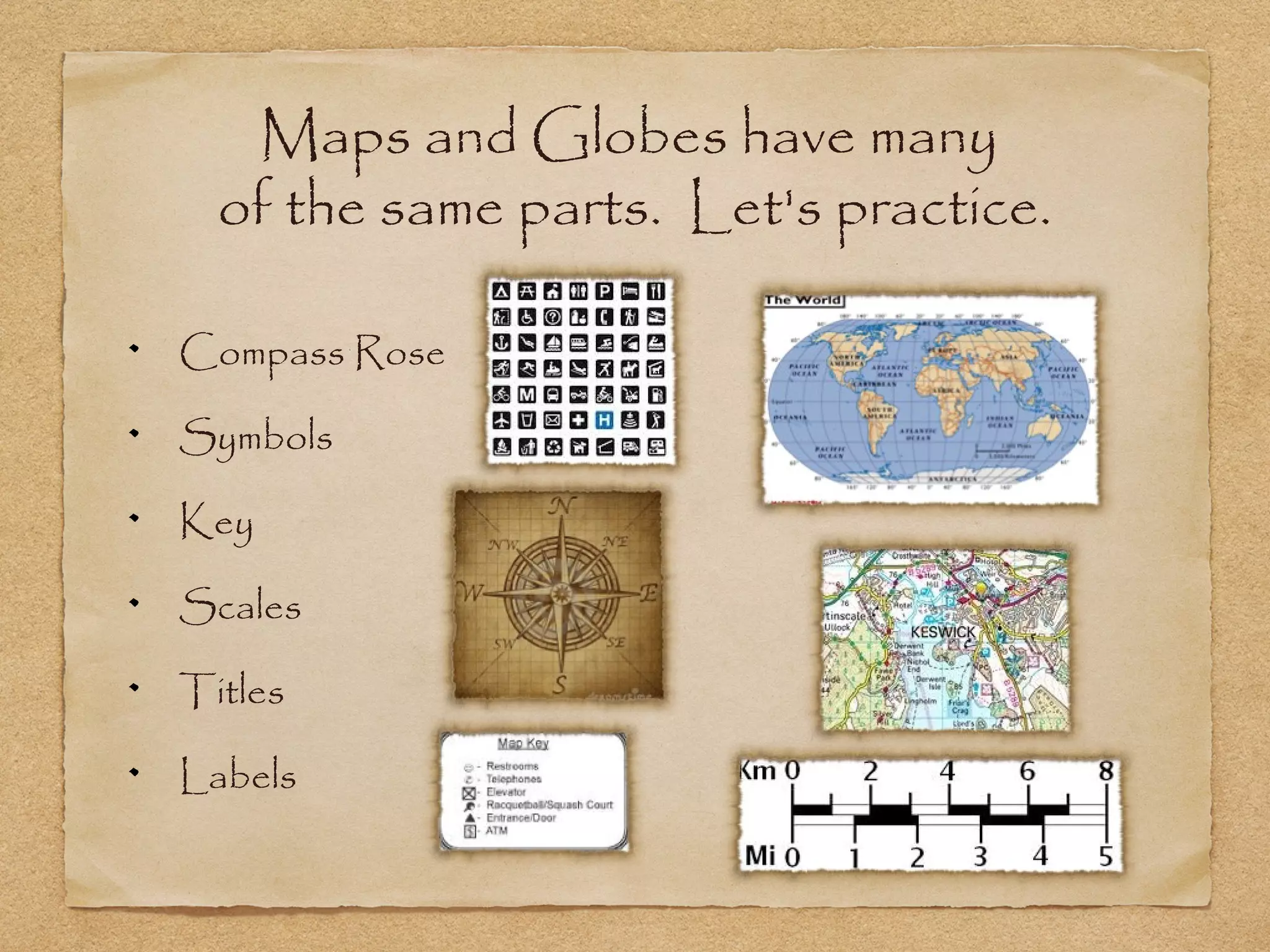


This document discusses maps and globes. It defines what maps and globes are, and lists their key parts and purposes. Maps are flat drawings that represent places from an aerial view, while globes are round models that show the entire Earth. Both maps and globes have compass roses to indicate directions, symbols that are explained in keys, scales to measure distances, titles to identify what is depicted, and labels for locations. Their purposes are to determine routes, model Earth's surface features, and locate places. The document provides examples of each map part and encourages learners to identify the six main parts of a map.