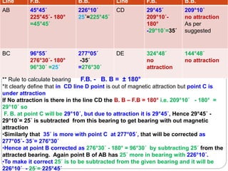
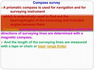
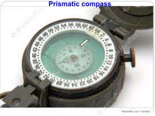
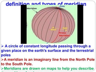
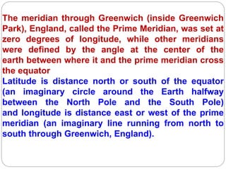
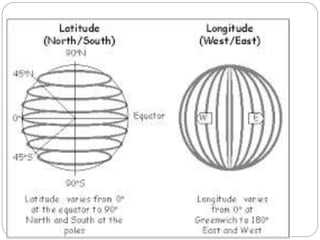
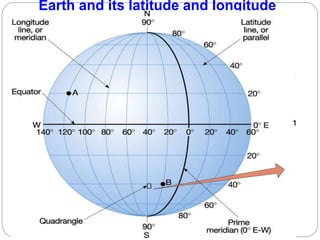
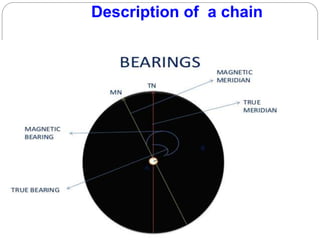
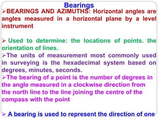
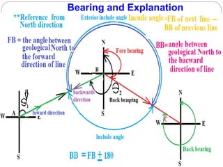
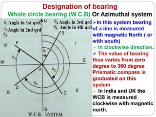
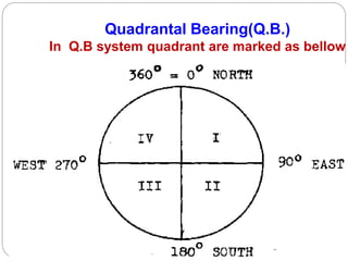
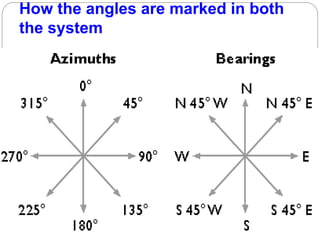
The document discusses various topics related to surveying including chain surveying, compass surveying, traversing, prismatic compasses, bearings, latitude and longitude, and compass adjustments. It provides information on when different surveying methods are recommended based on terrain and area size. It also defines key terms like meridians, bearings, declination, inclination, and different bearing systems. Examples are given for calculating bearings and adjusting for magnetic attraction. Adjustments discussed for prismatic compasses include centering, leveling, and focusing the prism.


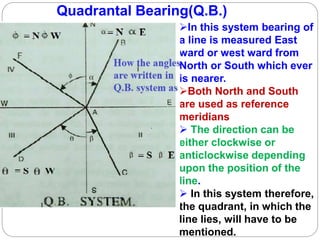

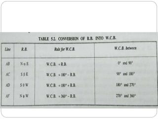
![For 2nd quadrantFor 1st Quadrant
(1) For the first
quadrant
the W.C.B will
be equal to
R.B. because
both of them it
starts from the
north the
directions. for
R.B. direction
will be North to
East (NE)
W.C.B+R.B. = 180° SO [ R.B.=180°-
W.C.B.]
The directions for reduced bearing is
South to East (SE)](https://image.slidesharecdn.com/compasssurveying-190302125941/85/Compass-surveying-22-320.jpg)