Download as PDF, PPTX
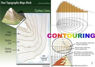
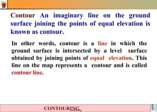


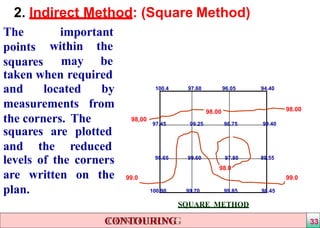


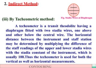


1) Contour lines on a map connect points of equal elevation and represent the topography of the land. 2) Contour surveys are conducted at the start of engineering projects to select suitable sites, locate alignments to minimize earthworks, and understand the terrain. 3) Contours are located either directly by tracing lines in the field or indirectly by taking spot levels and interpolating lines on the map. Indirect methods using cross-sections or tacheometry are more efficient for large areas.


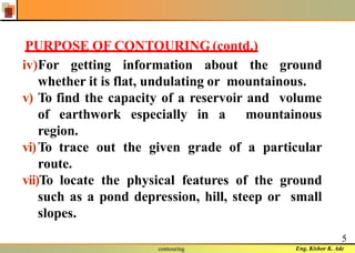
![THEORY OF STRUCTURES-I [B. ARCH.]](https://cdn.slidesharecdn.com/ss_thumbnails/theoryofstructures-ib-180903021950-thumbnail.jpg?width=640&height=640&fit=bounds)


