Downloaded 417 times

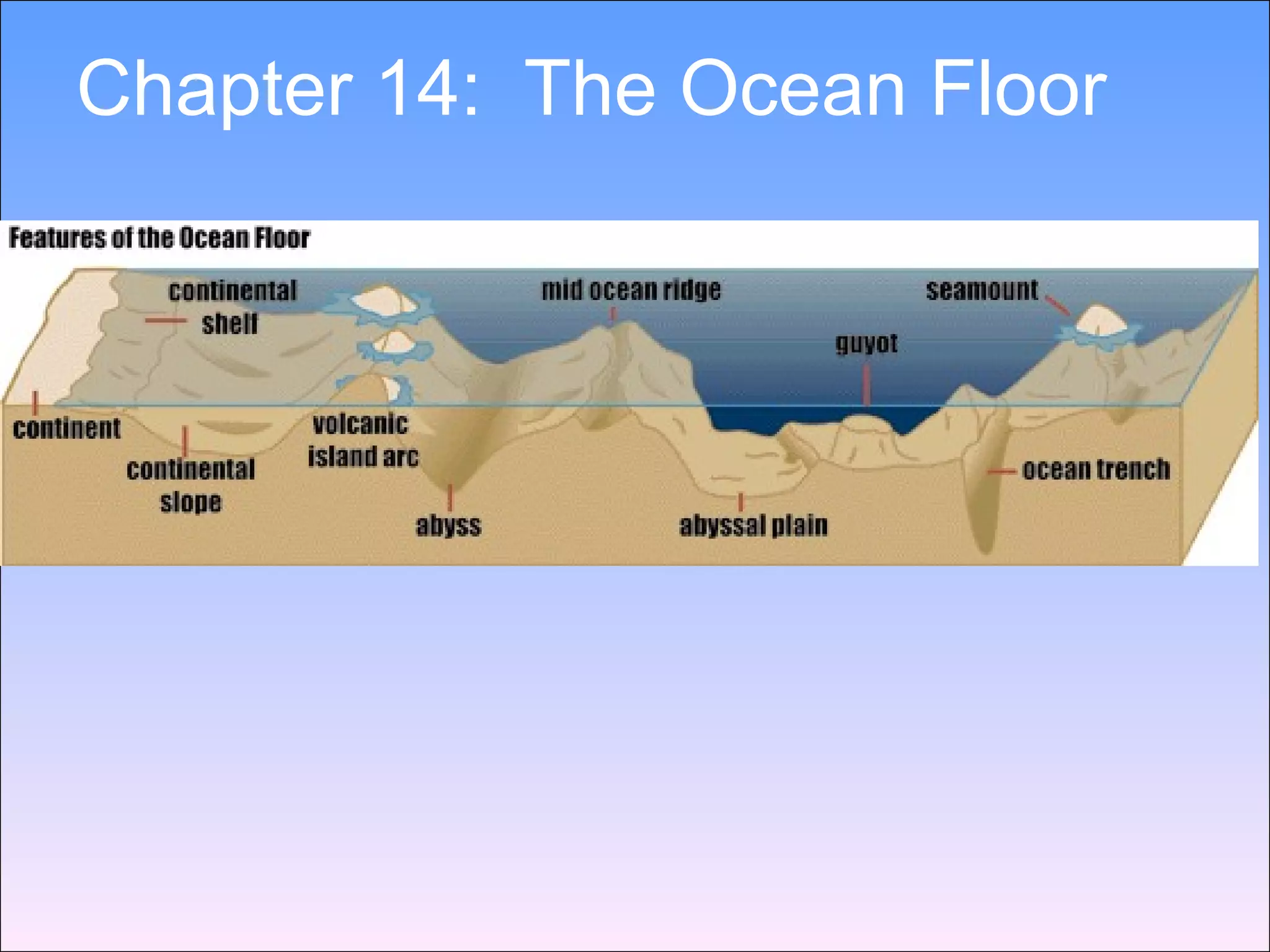


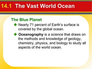
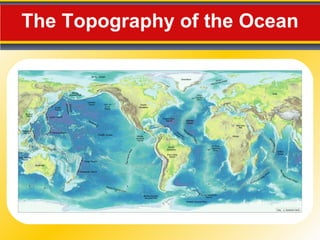


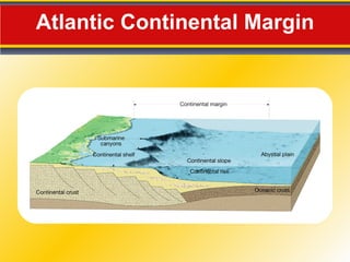


Nearly 71% of Earth's surface is covered by the global ocean. The ocean floor can be divided into four main regions: continental margins, ocean basin floors, and mid-ocean ridges. Continental margins are the zones between continents and ocean basins, and include continental shelves and slopes. Ocean basin floors contain features like abyssal plains, seamounts, and deep-ocean trenches. Mid-ocean ridges are underwater mountain ranges found near the centers of ocean basins where new seafloor is formed through seafloor spreading.


![15[1].3 Lecture](https://cdn.slidesharecdn.com/ss_thumbnails/1513-lecture-1207624870393961-9-thumbnail.jpg?width=640&height=640&fit=bounds)